© Chur - Die Alpenstadt - Michael Christ
© Chur - Die Alpenstadt - Michael Christ

© Chur - Die Alpenstadt - Michael Christ

© Chur - Die Alpenstadt - Arno Mainetti

© Chur - Die Alpenstadt - Andrea Badrutt


- Kratak opis
-
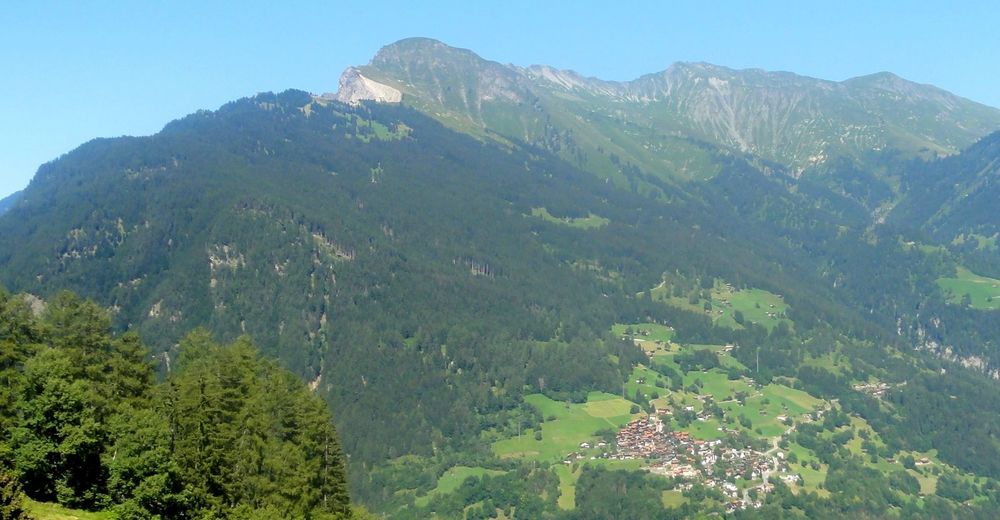
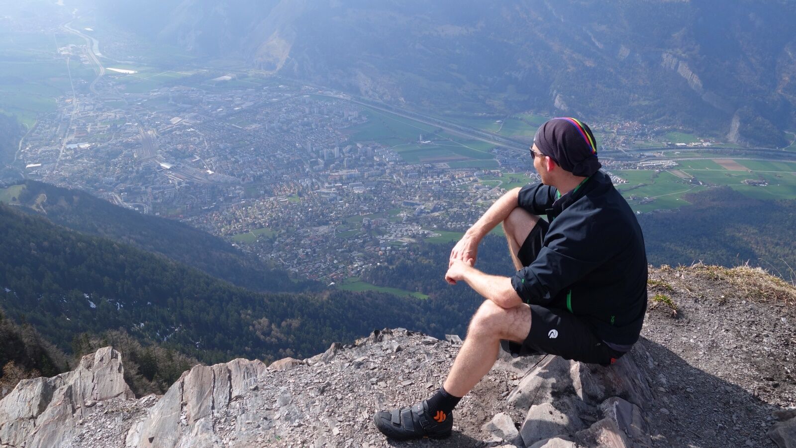
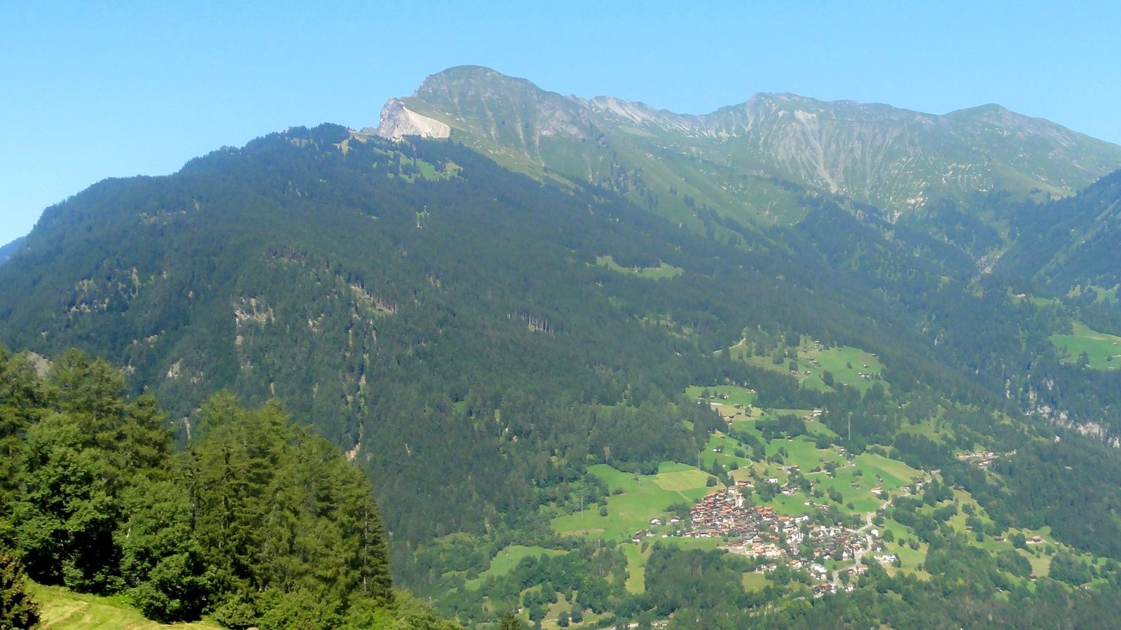
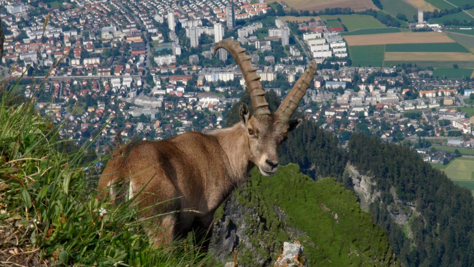
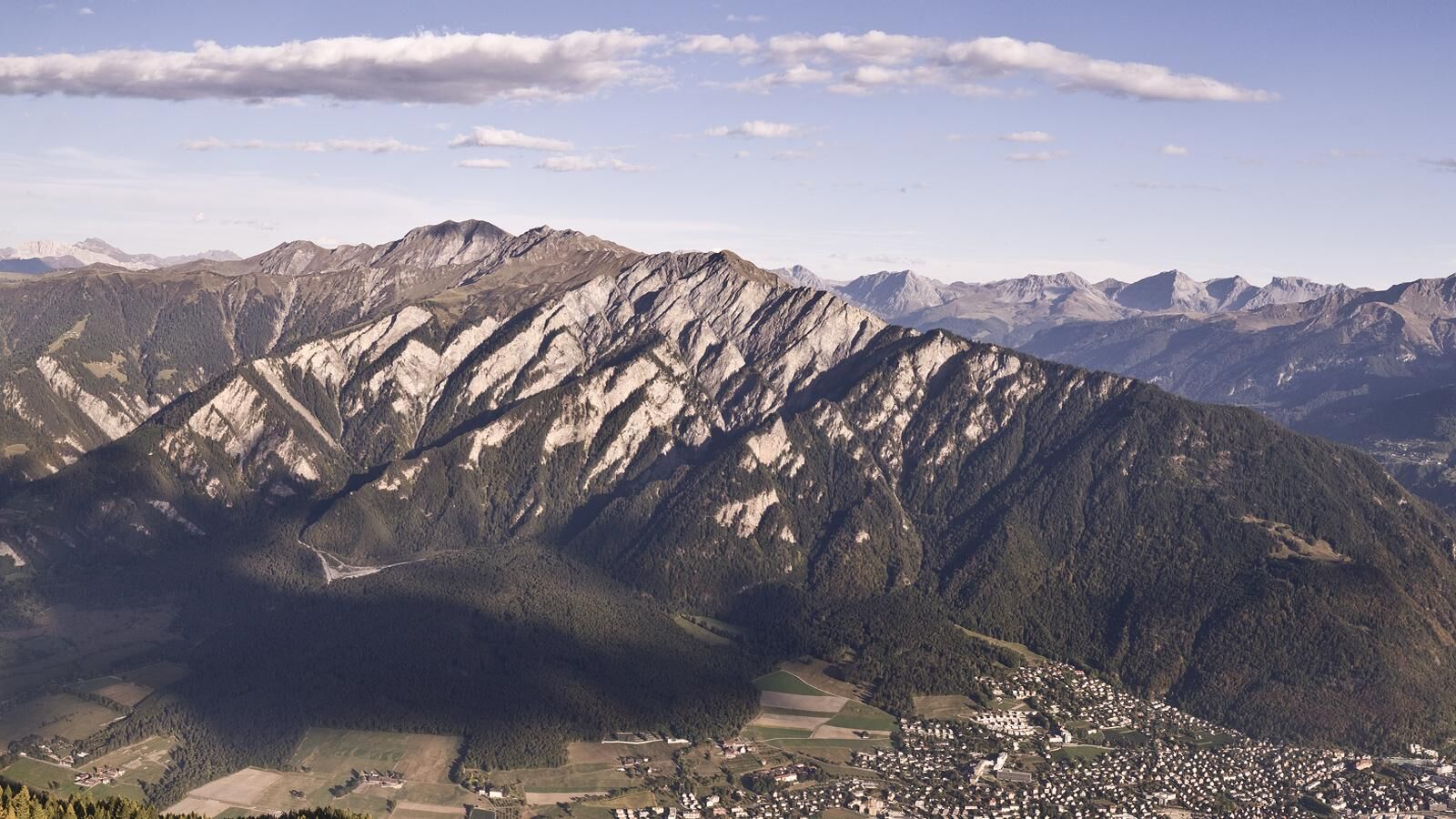
The Fürhörnli juts on 1'888 m like a balcony out into the abyss and offers a splendid panorama view on the Alpine City of Chur and the surrounding Rhine valley. If you would like to climb even higher, the Montalin peak is not that far away and well worth the ascent.
- Teškoća
-
teška
- Vrednovanje
-
- Wegverlauf
-
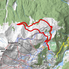
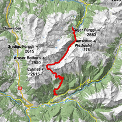
Chur (593 m)Martinskirche0,3 kmOrthodox Parish "St. Pious Parascheva"0,7 kmSt. Luzius0,7 kmAraschgen1,9 kmBrandacker2,2 kmTumma2,6 kmChisgruob2,9 kmMaladers3,4 kmReformierte Kirche3,5 kmFürhörnli (1.888 m)8,9 kmMittenberg (1.114 m)13,2 kmSt.Luzikapelle14,8 km
- Beste Jahreszeit
-
sijveljožutrasvilipsrpkolrujlisstupro
- Höchster Punkt
- 1.885 m
- Zielpunkt
-
Chur
- Höhenprofil
-
 © outdooractive.com

-

-
AutorDie Tour Fürhörnli / Montalin wird von outdooractive.com bereitgestellt.
GPS Downloads


Opće informacije
Einkehrmöglichkeit
Kulturell/Historisch
Geheimtipp
Aussichtsreich