


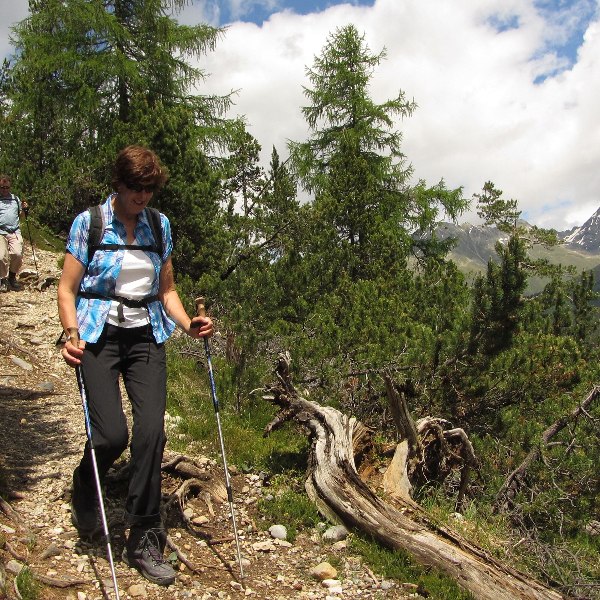
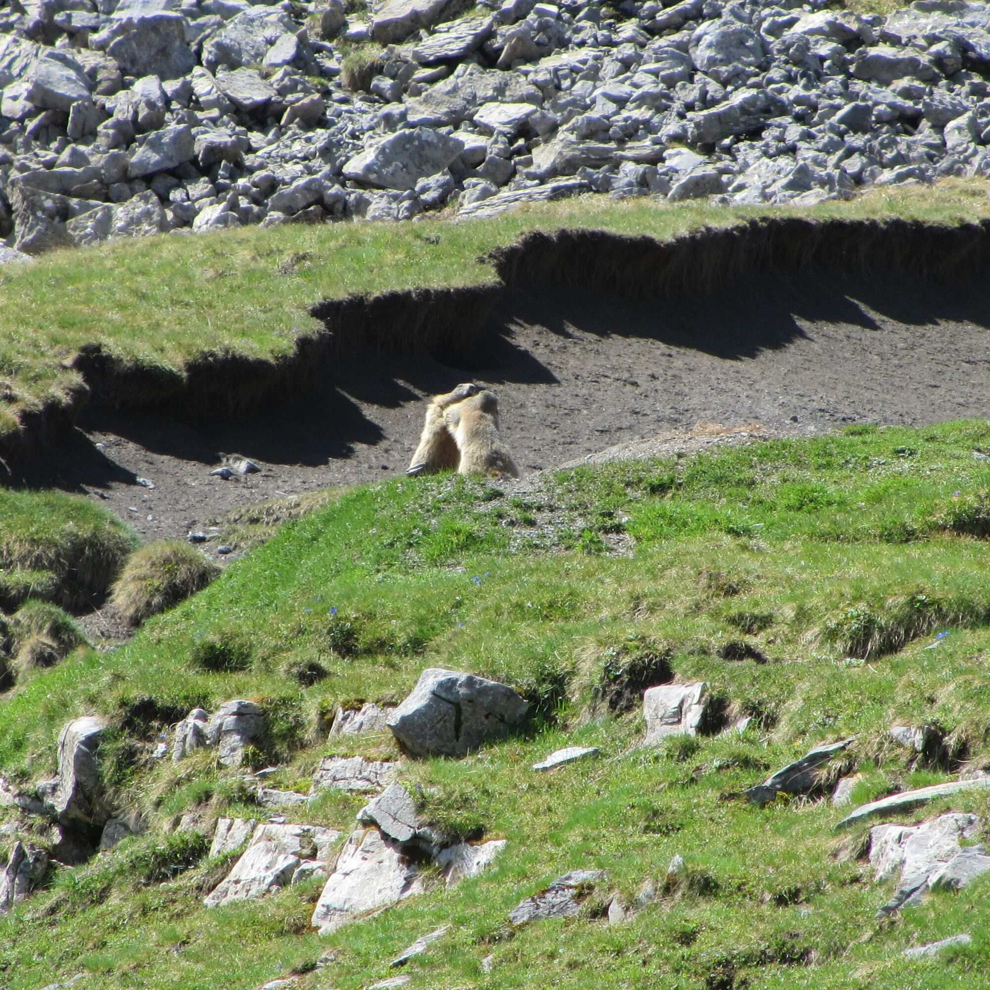
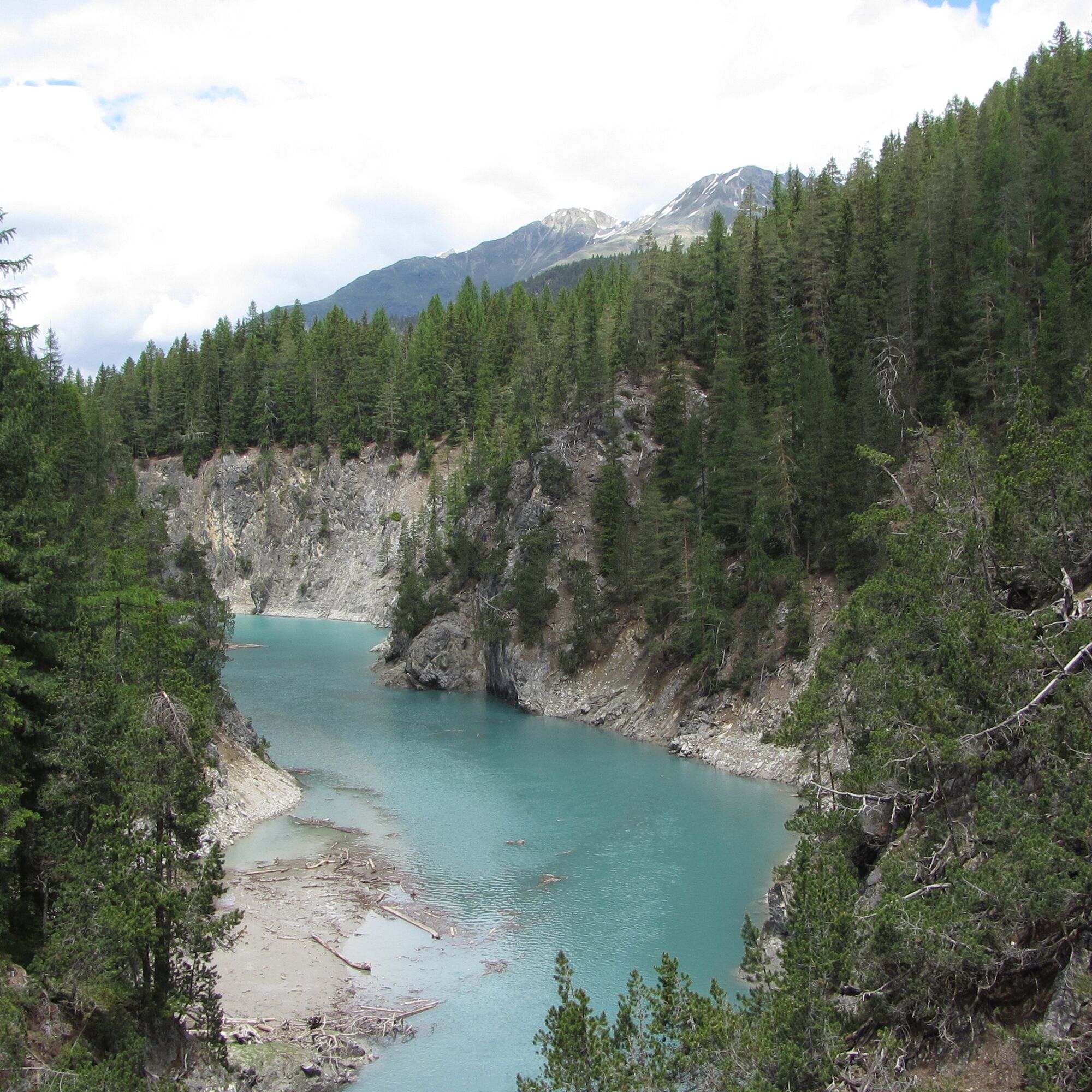
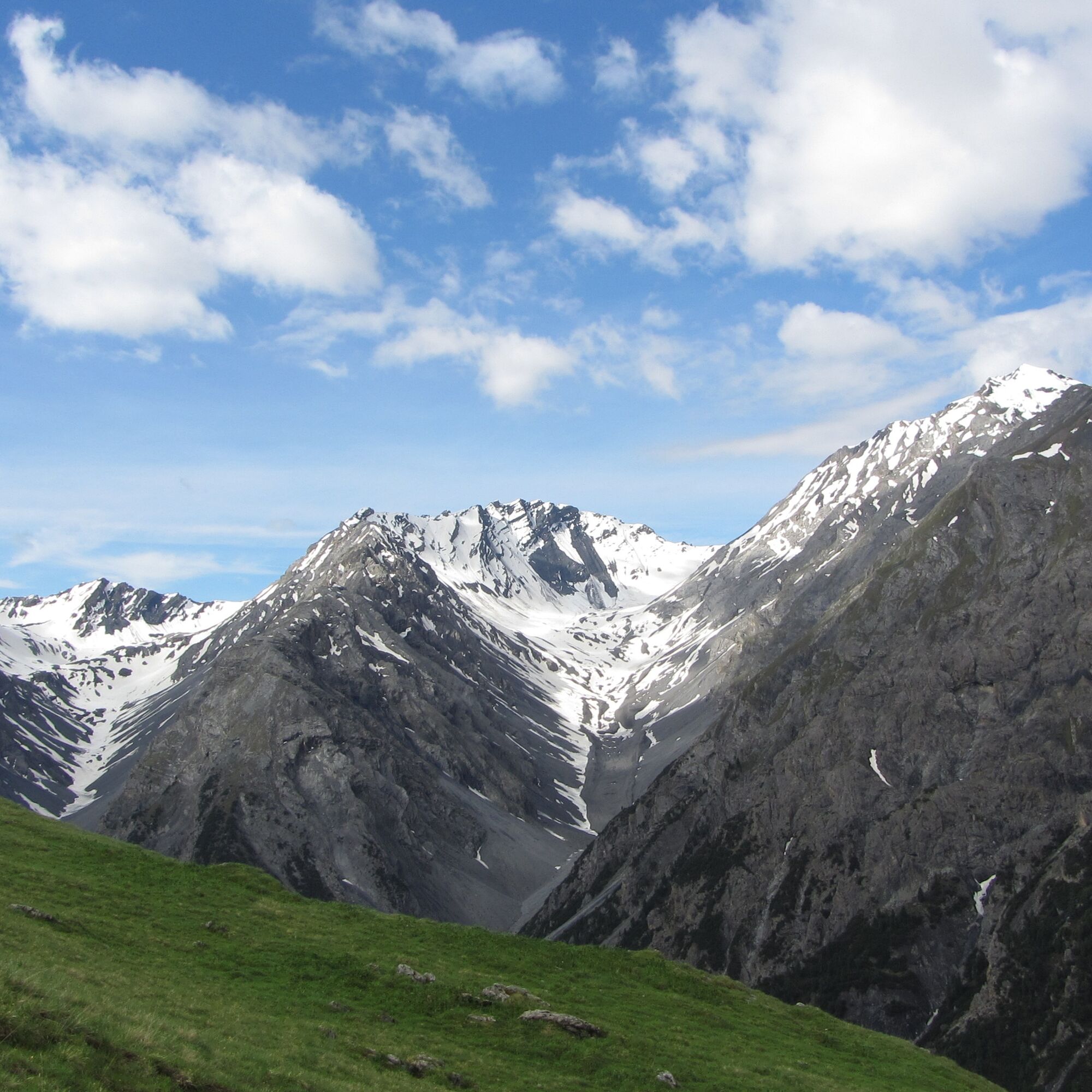
After the Chamanna Cluozza, the ascent to the Murtersattel begins. Zigzag through pine forests to the grassy slopes where ibex often graze and marmots sun themselves. From here you can also see the famous...
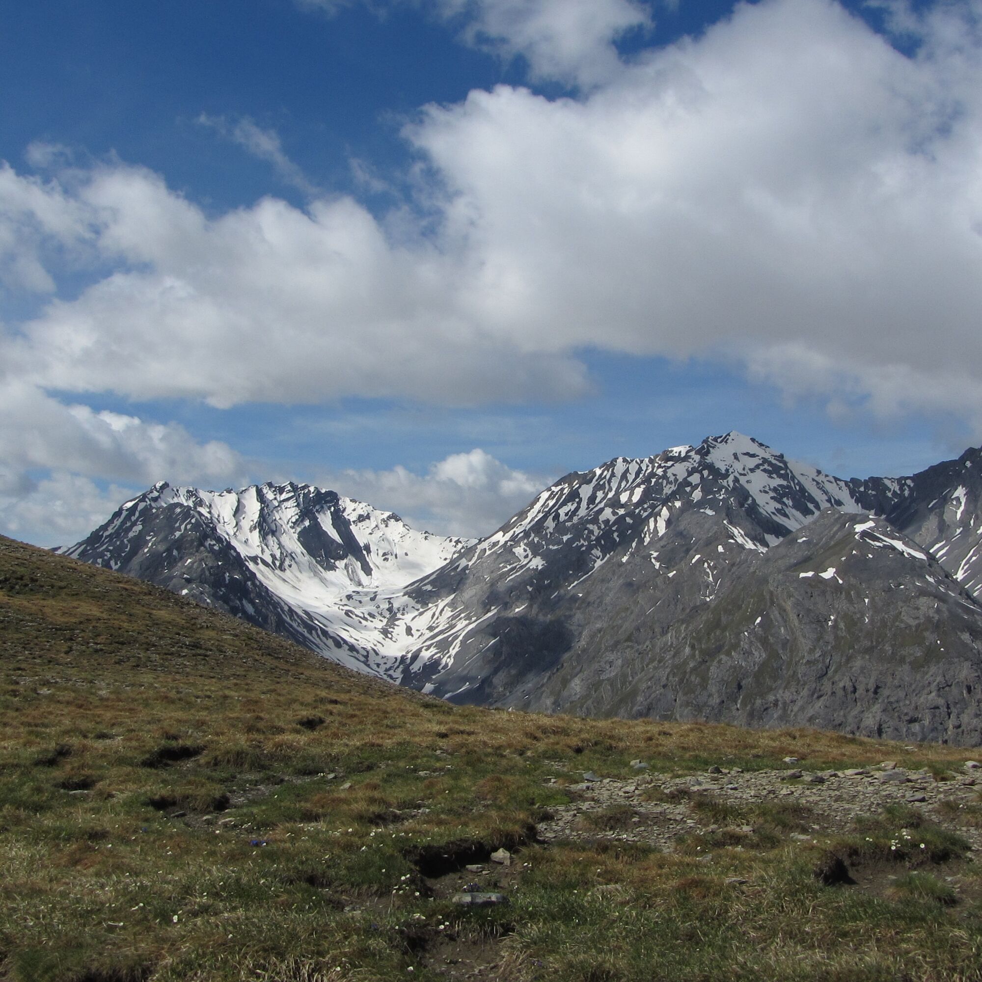
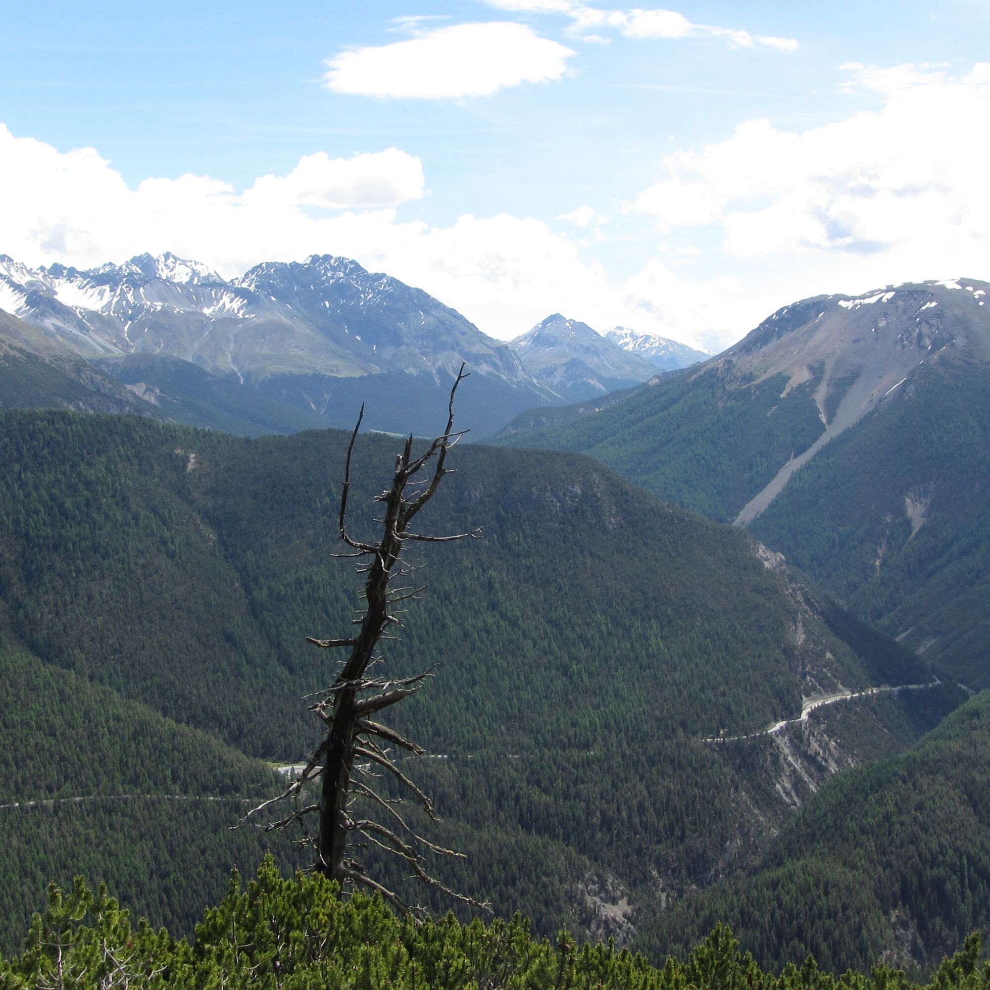
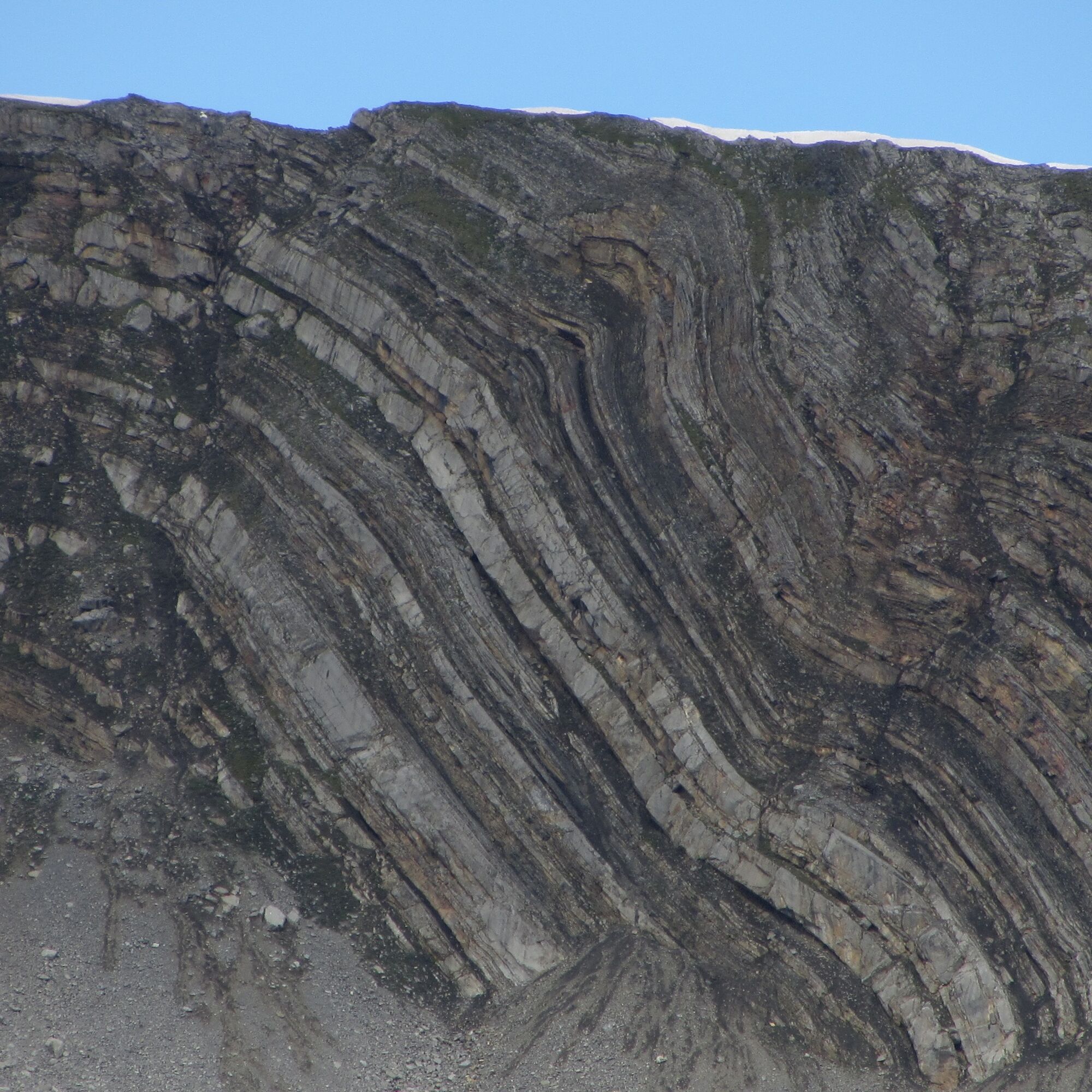
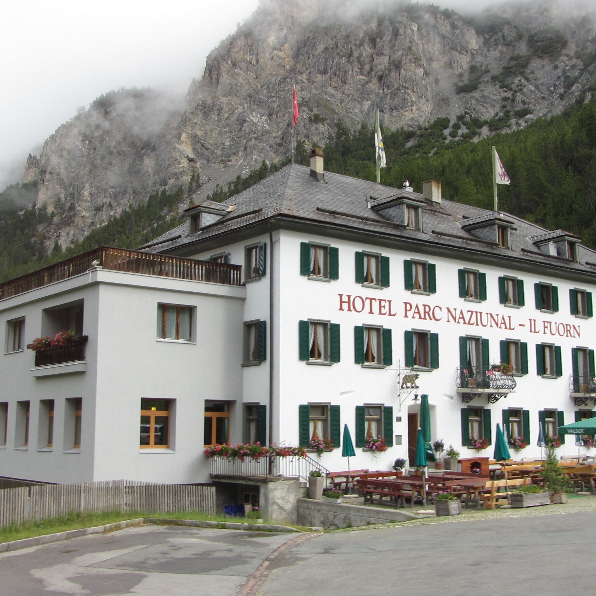
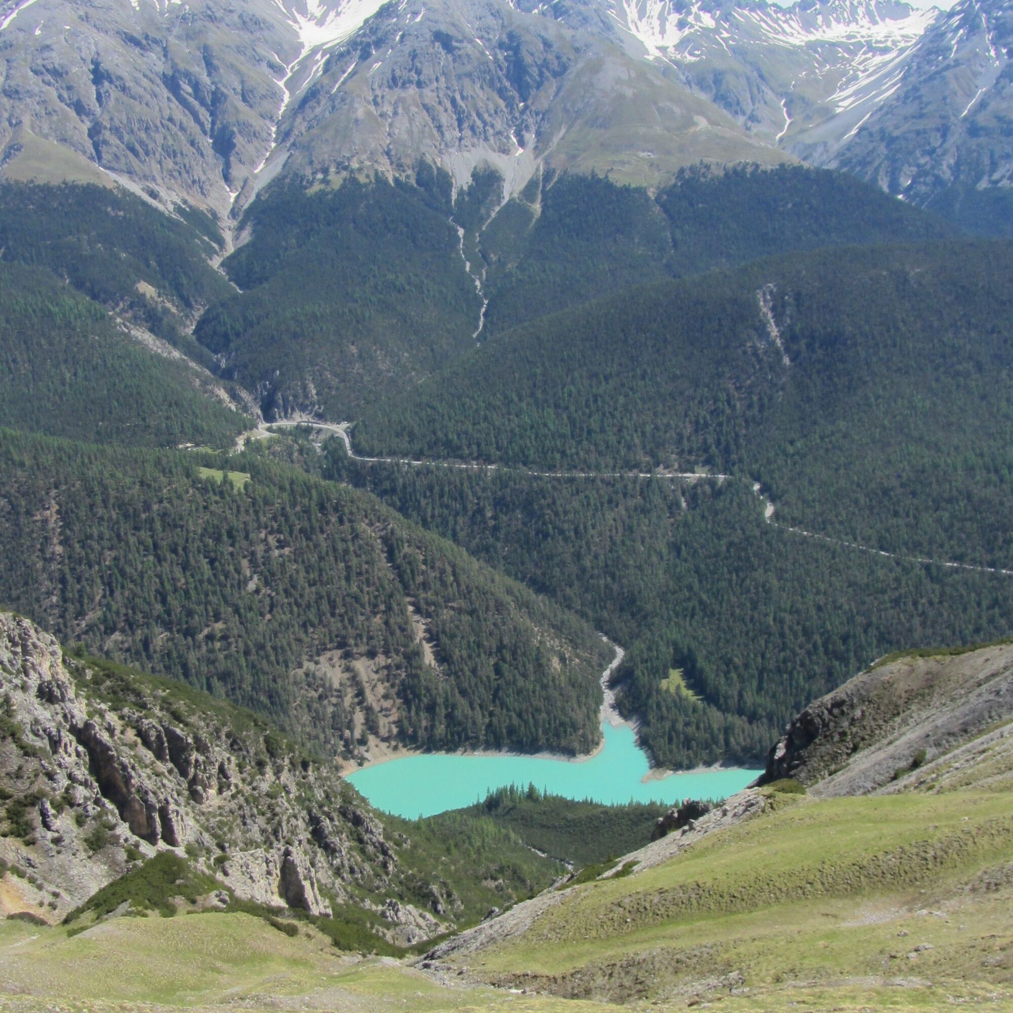
After the Chamanna Cluozza, the ascent to the Murtersattel begins. Zigzag through pine forests to the grassy slopes where ibex often graze and marmots sun themselves. From here you can also see the famous rock plate with the dinosaur tracks. Now the trail slowly climbs uphill. On the other side of the valley you can see the Piz Quattervals and look deep into the Val Sassa with the block glacier. At the Murtersattel, the descent begins to the plateau of Plan dals Poms and continues through forest sections towards the small clearing Plan Praspöl. After a few steps you reach the bridge in the Spölschlucht gorge. A last, steep ascent of about 120 metres in altitude leads to the car park and the «Vallun Chafuol» post bus stop on the Ofenpass road. From here you can take the PostBus to Il Fuorn or the Ofenpasshöhe at hourly intervals. Or continue individually on foot via Grimmels to il Fuorn (approx. 2.5 h) and by PostBus to the Ofenpasshöhe (Süsom Givè).
Note: Dogs are not allowed in the Swiss National Park, not even on a lead. Further information on this and all protection regulations can be found at nationalpark.ch/protection


Start at Chamanna Cluozza in the direction of Murtersattel. After crossing the Murtersattel descent to Plan dals Poms and Plan Praspöl
Last ascent to the car park and PostBus stop Vallun Chafuol
Alternatively continue via Grimmels to Il Fuorn
Yes
Solid shoes, rain and sun protection, water bottle, first aid kit
The tour was evaluated in favourable weather conditions, it is mandatory to take into account the current weather conditions and weather forecasts before starting the tour. This hike does not require any Alpine experience. Hiking boots are recommended.
Emergency call:
144Emergency call, first aid
1414Mountain rescue REGA
112International emergency call
This tour starts at the Chamanna Cluozza hut, which can only be reached on foot from Zernez.
This tour starts at the Chamanna Cluozza park hut, which can only be reached by foot from Zernez.
This tour starts at the Chamanna Cluozza hut, which can only be reached on foot from Zernez.
The whole tour can be booked as a sustainable package. Experience a varied mix of offers in the National Park region see engadin.com/aventuera-chamanna-cluozza
Webcams of the tour
Popular tours in the neighbourhood
-
4,8
Circular hike Val Trupchun in the Swiss National Park
mediumPješačenje 13,8 km -
4,8
National park: Zernez – Munt Baselgia – Macun lakes – Alp Zeznina – Lavin
heavyPješačenje 22,9 km -
5,0
Margunet (nature trail in the Swiss National Park)
mediumPješačenje 7,76 km -
4,0
Süsom Givè - Chaschlot - Valbella - Süsom Givè
mediumPješačenje 9,73 km -
4,8
National Park: Grimmels (circular hike)
lightPješačenje 5,97 km -
4,0
Schellen-Ursli-Trail
mediumTematska staza 3,53 km -
4,7
Naturlehrpfad - Schweizerischer Nationalpark
lightTematska staza 6,92 km -
Margunet
lightPješačenje 10,0 km -
5,0
National Park: S-charl – Mot Tavrü (return)
mediumPješačenje 12,0 km -
5,0
Munt la Schera - Nationalpark
mediumPješačenje 13,1 km
bergfex Tours


Ne propustite ponude i inspiraciju za vaš sljedeći odmor
Your e-mail address has been added to the mailing list.