© Engadin Samnaun Val Müstair - Andrea Badrutt, Chur

© Engadin Samnaun Val Müstair - Dominik Täuber

© Engadin Samnaun Val Müstair - Dominik Täuber

© Engadin Samnaun Val Müstair - Tourismus Engadin Scuol Samnaun Val Müstair AG

© Engadin Samnaun Val Müstair - Andrea Badrutt, Chur

© Andrea Badrutt


- Kratak opis
-
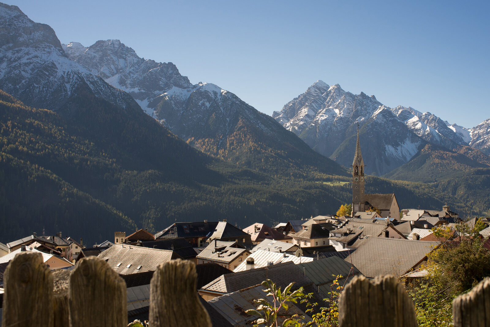
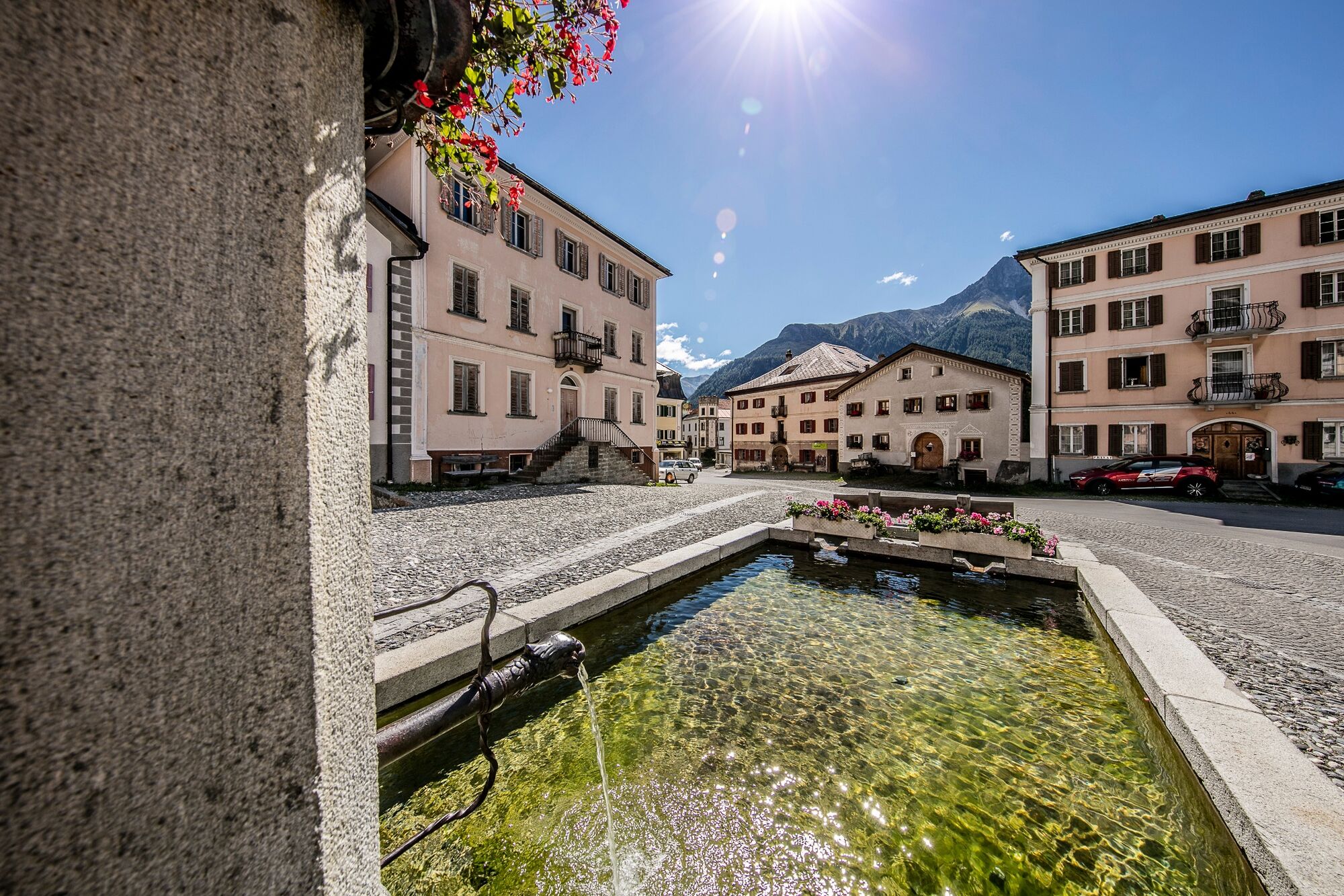
Rather easy high-altitude hike on the sunny side of the Lower Engadine down to the picture-book village of Sent.
- Teškoća
-
srednje
- Vrednovanje
-
- Wegverlauf
-
Prui (2.058 m)Prümaran Prui0,0 kmMotta Naluns1,7 kmMotta Naluns1,8 kmTruois3,2 kmJonvrai3,6 kmVastur8,1 kmRestorant da muntogna Vastur8,8 kmRuinas9,4 kmDavo Stron11,4 kmDa Salvatore11,9 kmRestorant Fontana12,0 kmSins (1.440 m)12,2 km
- Beste Jahreszeit
-
sijveljožutrasvilipsrpkolrujlisstupro
- Höchster Punkt
- 2.185 m
- Zielpunkt
-
Postauto stop Sent, Plaz
- Höhenprofil
-
 © outdooractive.com

- Autor
-
Die Tour Via Engiadina trek, 4th stage Scuol-Sent wird von outdooractive.com bereitgestellt.
GPS Downloads


Opće informacije
Einkehrmöglichkeit
Weitere Touren in den Regionen
-
Engadin Scuol Zernez
734
-
Scuol
137