© Flims Laax Falera - Jascha Schmid

© Flims Laax Falera - Jascha Schmid
© Flims Laax Falera - Jascha Schmid

© Flims Laax Falera - Jascha Schmid

© Graubünden Ferien - Dagmar Surink
- Kratak opis
-
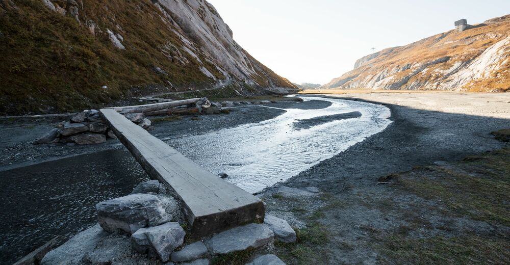
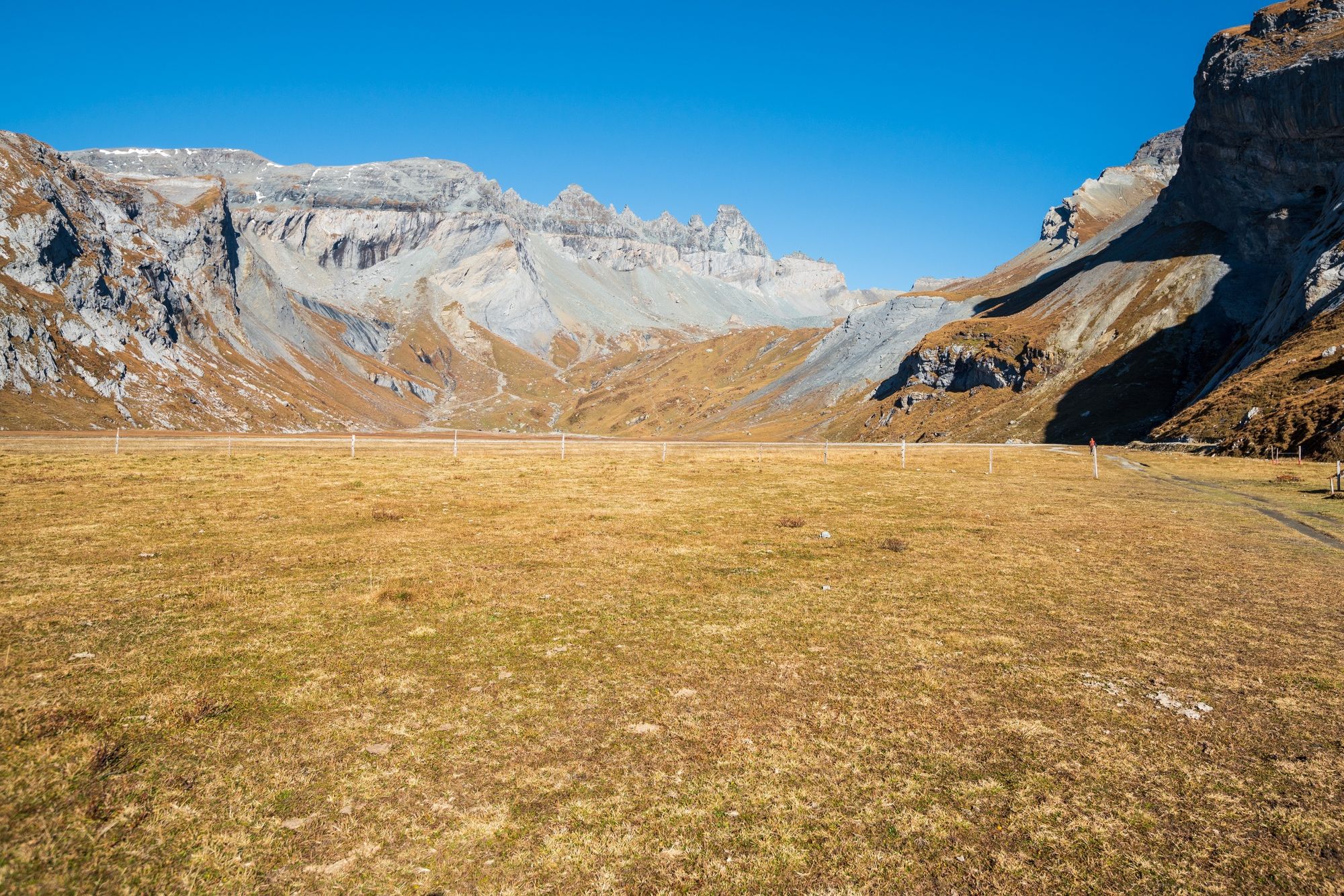
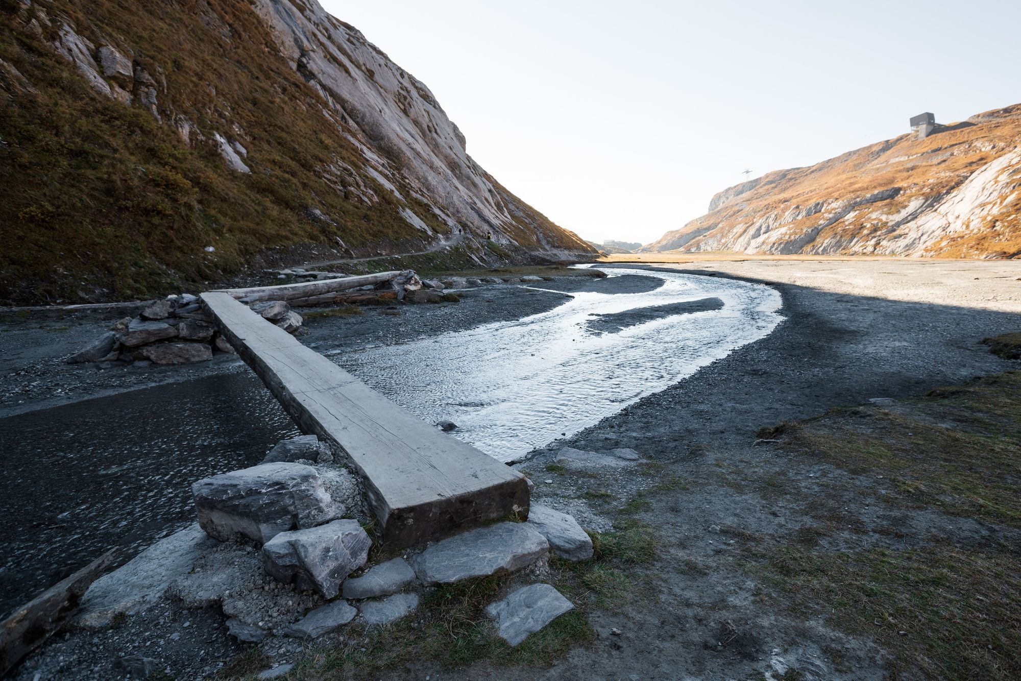
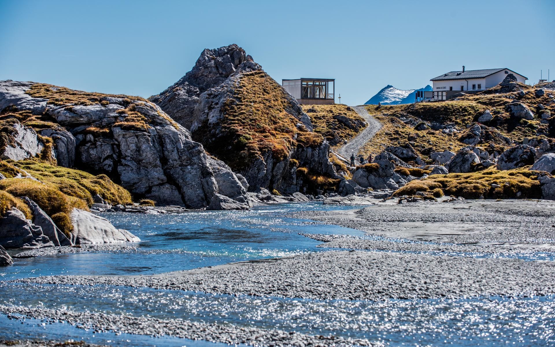
The lower Segnesboden is an ancient plateau. Here, fens provide a special habitat for plants and animals, and watercourses always sparkle in new places.
- Teškoća
-
srednje
- Vrednovanje
-
- Wegverlauf
-
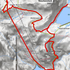
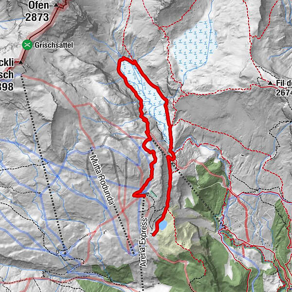
Segnas4,7 kmSegneshütte5,7 kmStalla7,4 km
- Beste Jahreszeit
-
sijveljožutrasvilipsrpkolrujlisstupro
- Höchster Punkt
- 2.238 m
- Zielpunkt
-
Alp Nagens
- Höhenprofil
-
 © outdooractive.com

-

-
AutorDie Tour Unterer Segnesboden: Nagens - Segneshütte - Alp Nagens wird von outdooractive.com bereitgestellt.
GPS Downloads


Opće informacije
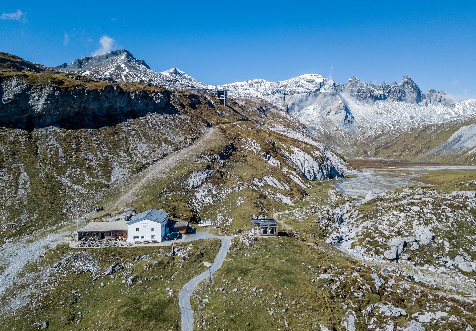
Einkehrmöglichkeit
Fauna
Aussichtsreich
Weitere Touren in den Regionen
-
Glarnerland
1972
-
Flims Laax Falera
772
-
Elm
206