© Ente Turistico Regionale del Moesano - Christian Vigne

© Ente Turistico Regionale del Moesano - Christian Vigne

© Ente Turistico Regionale del Moesano - Christian Vigne

© Ente Turistico Regionale del Moesano - Christian Vigne
Podaci o ruti
20,48km
1.173
- 2.297m
687hm
1.501hm
07:10h

- Kratak opis
-
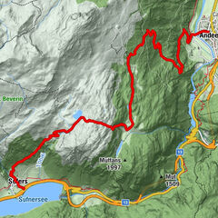
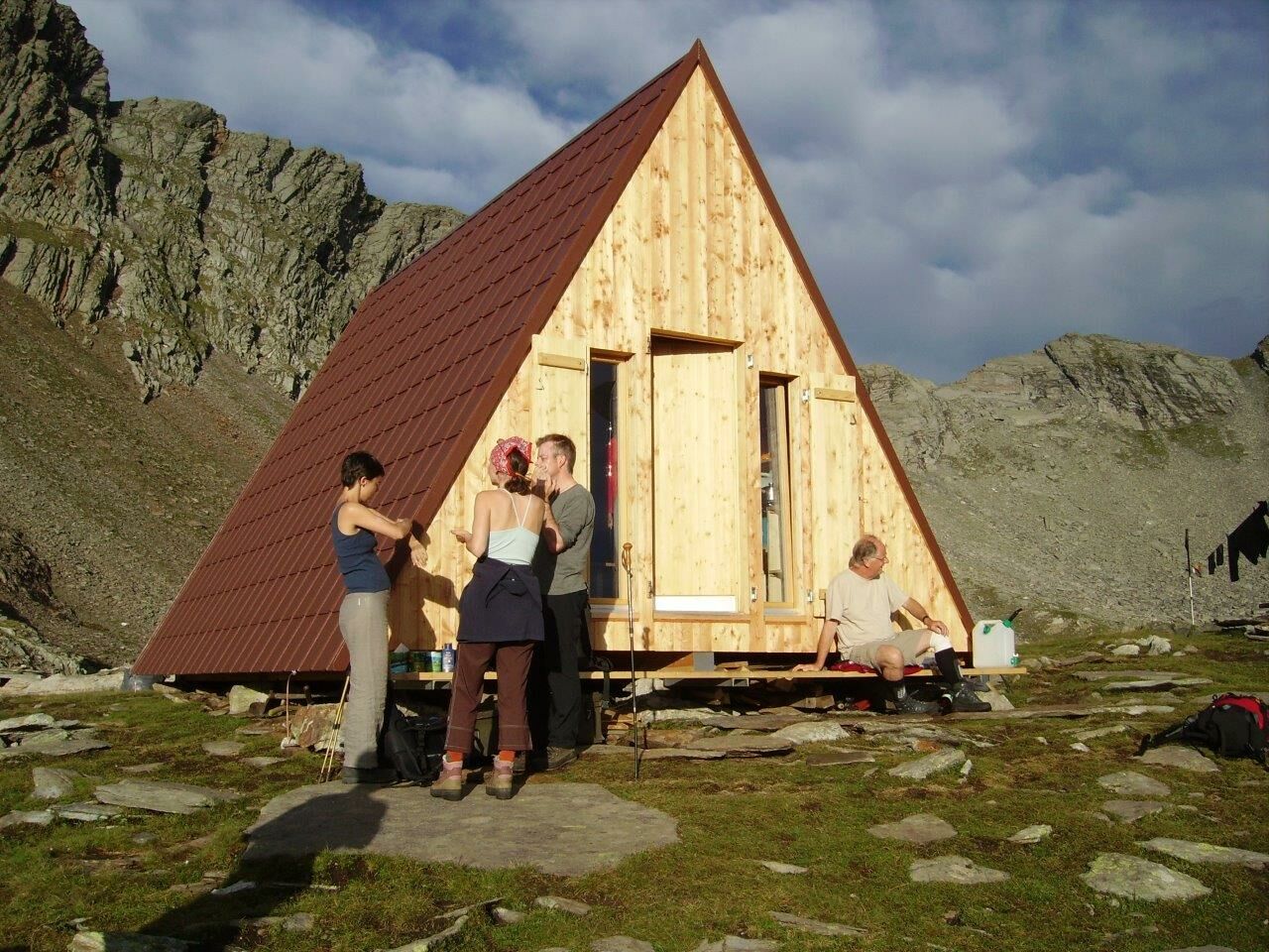
The walk begin to the hostel from San Bernardino and along the way you have a magnificant view from the Mesolcina valley.
- Wegverlauf
-
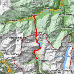
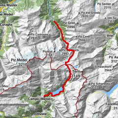
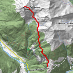
Alp de Confin (2.300 m)8,0 kmPass di Passit (2.081 m)10,0 kmRifugio Alp d'Arbeola14,5 kmAlp d'Arbeola (2.080 m)14,5 kmScot18,1 kmUsenich18,9 kmTurgegn19,3 kmSei20,4 kmPian San Giacomo (1.171 m)20,4 kmCappella di San Giacomo20,4 km
- Höchster Punkt
- 2.297 m
- Zielpunkt
-
Pian San Giacomo
- Höhenprofil
-
 © outdooractive.com


-

-
AutorDie Tour High path (hostel San Bernardino - Pian San Giacomo) wird von outdooractive.com bereitgestellt.
GPS Downloads


Weitere Touren in den Regionen
-
Comer See
761
-
San Bernardino Mesolcina Calanca
253
-
Mesocco
50