© Engadin Samnaun Val Müstair - Dominik Täuber

© Engadin Samnaun Val Müstair - Dominik Täuber
© Engadin Samnaun Val Müstair - Dominik Täuber
© Engadin Samnaun Val Müstair - Dominik Täuber
© Engadin Samnaun Val Müstair - Tourismus Scuol Samnaun Val Müstair
© Engadin Samnaun Val Müstair - Dominik Täuber

- Kratak opis
-
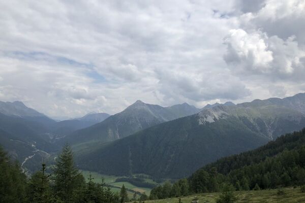
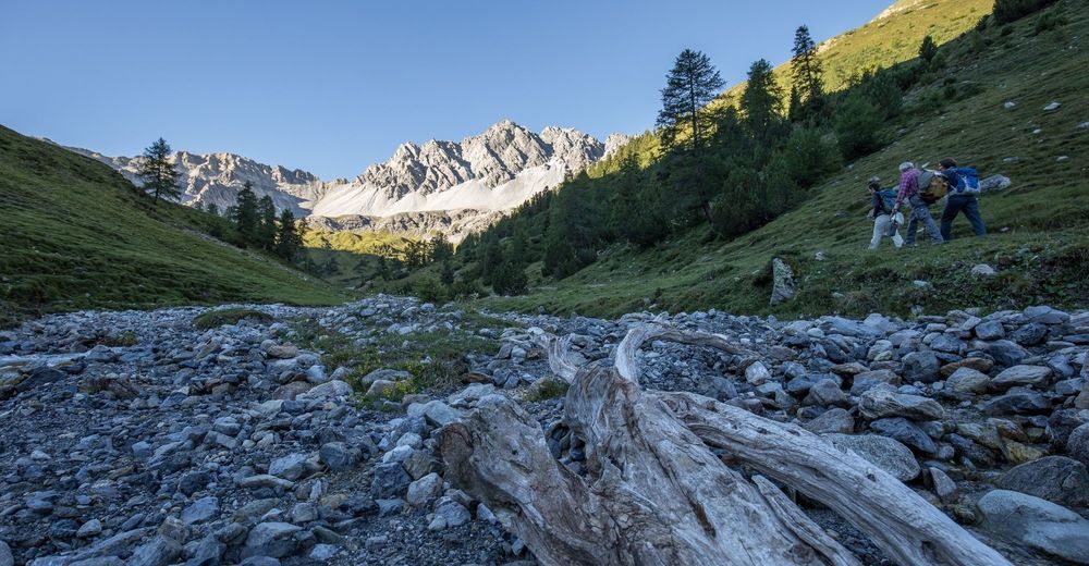
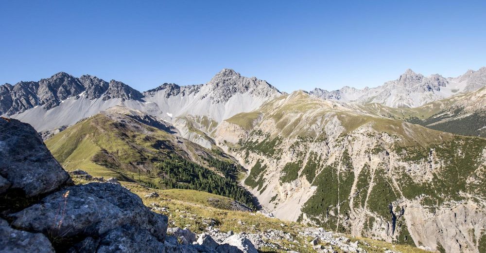
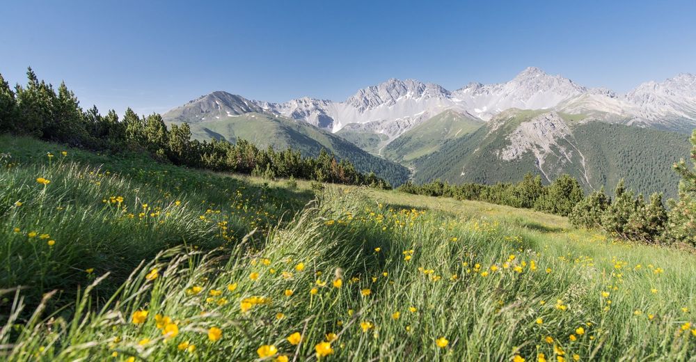
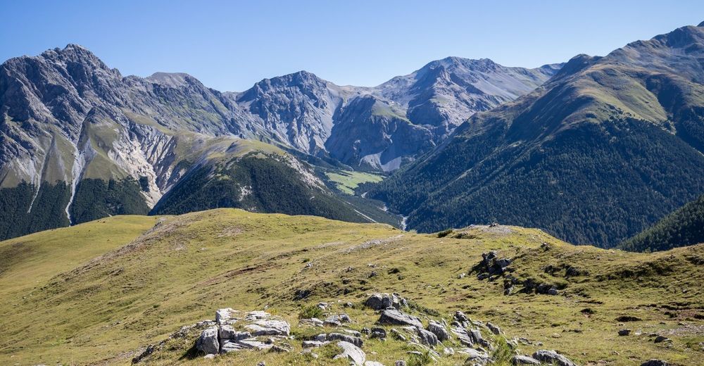
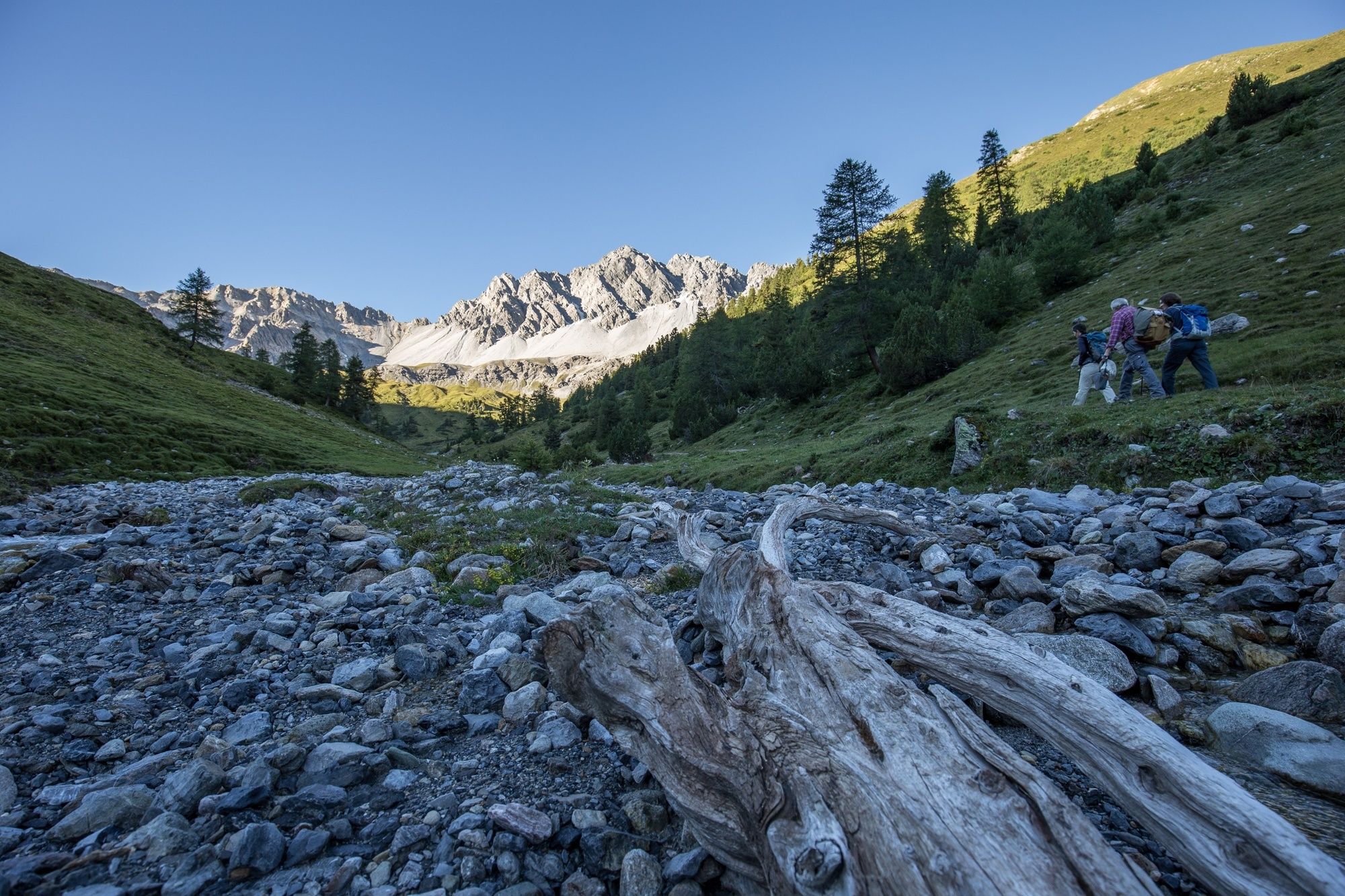
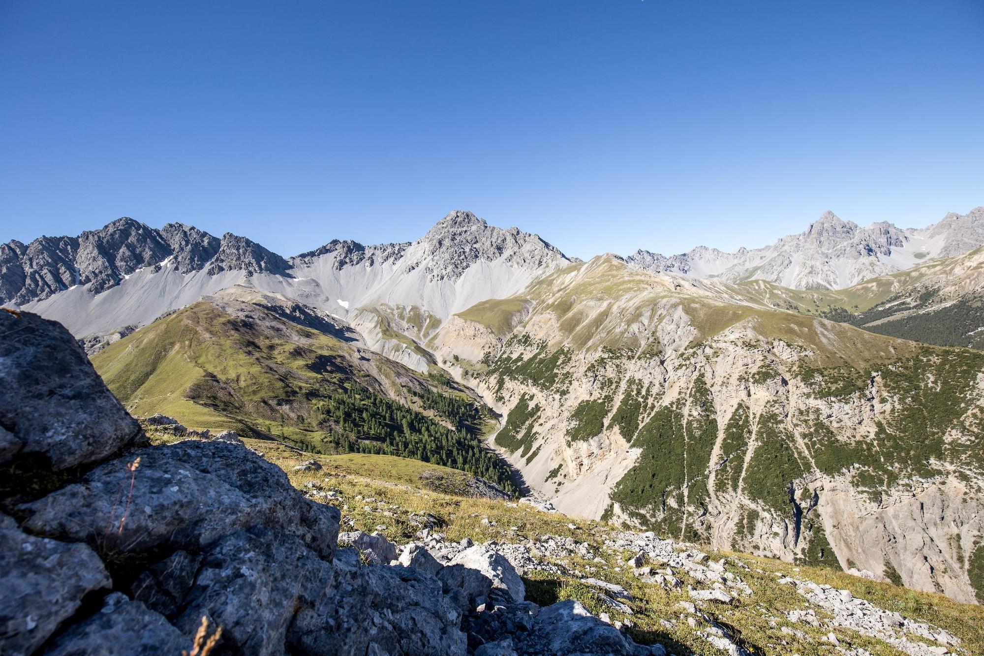
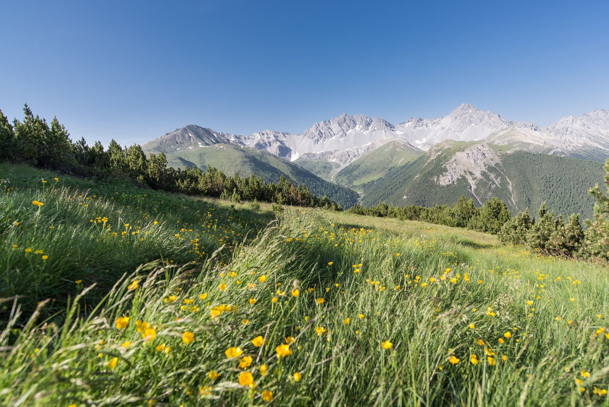
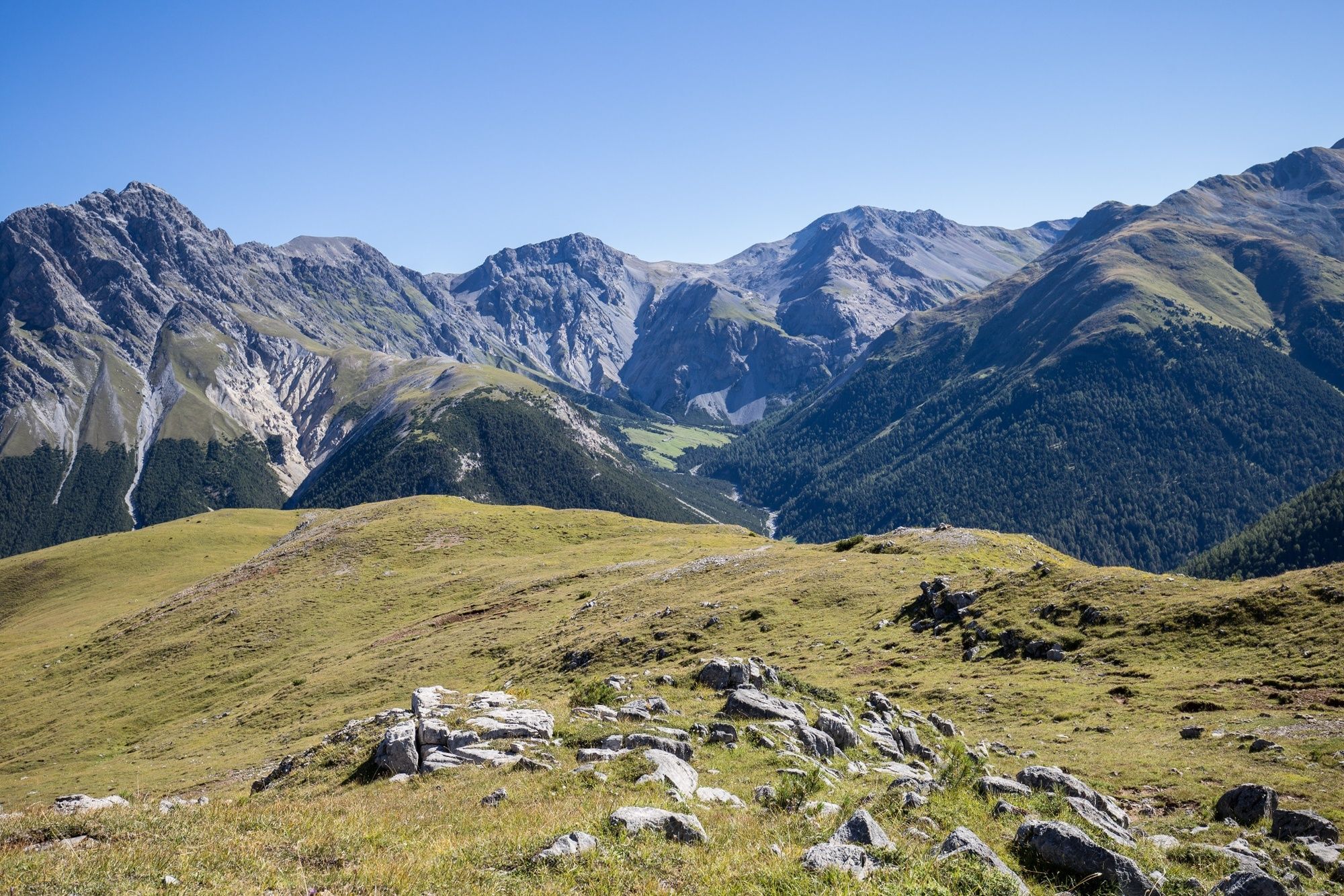
The hike leads through Val Tavrü, which was part of the Swiss National Park from 1911 to 1936, but is now used again for alpine farming. Mot Tavrü offers beautiful views of the inaccessible Val Foraz and the red deer living there.
- Teškoća
-
srednje
- Vrednovanje
-
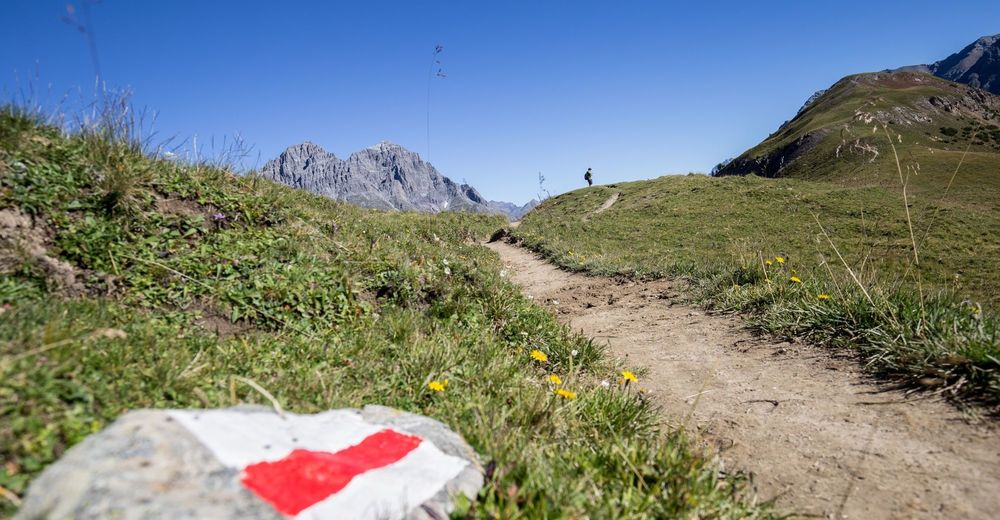
- Wegverlauf
-
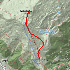
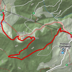
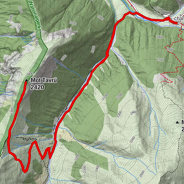
S-charl (1.810 m)Reformierte Kirche0,0 kmMot Tavrü (2.420 m)5,9 kmS-charl (1.810 m)11,9 kmReformierte Kirche11,9 km
- Beste Jahreszeit
-
sijveljožutrasvilipsrpkolrujlisstupro
- Höchster Punkt
- 2.392 m
- Zielpunkt
-
PostBus Stop S-charl
- Höhenprofil
-
 © outdooractive.com
- Autor
-
Die Tour Swiss National Parc: S-charl – Mot Tavrü (Return Route) wird von outdooractive.com bereitgestellt.
GPS Downloads


Opće informacije
Flora
Fauna
Aussichtsreich
Weitere Touren in den Regionen
-
Engadin Samnaun Val Müstair
559
-
Tschierv
148