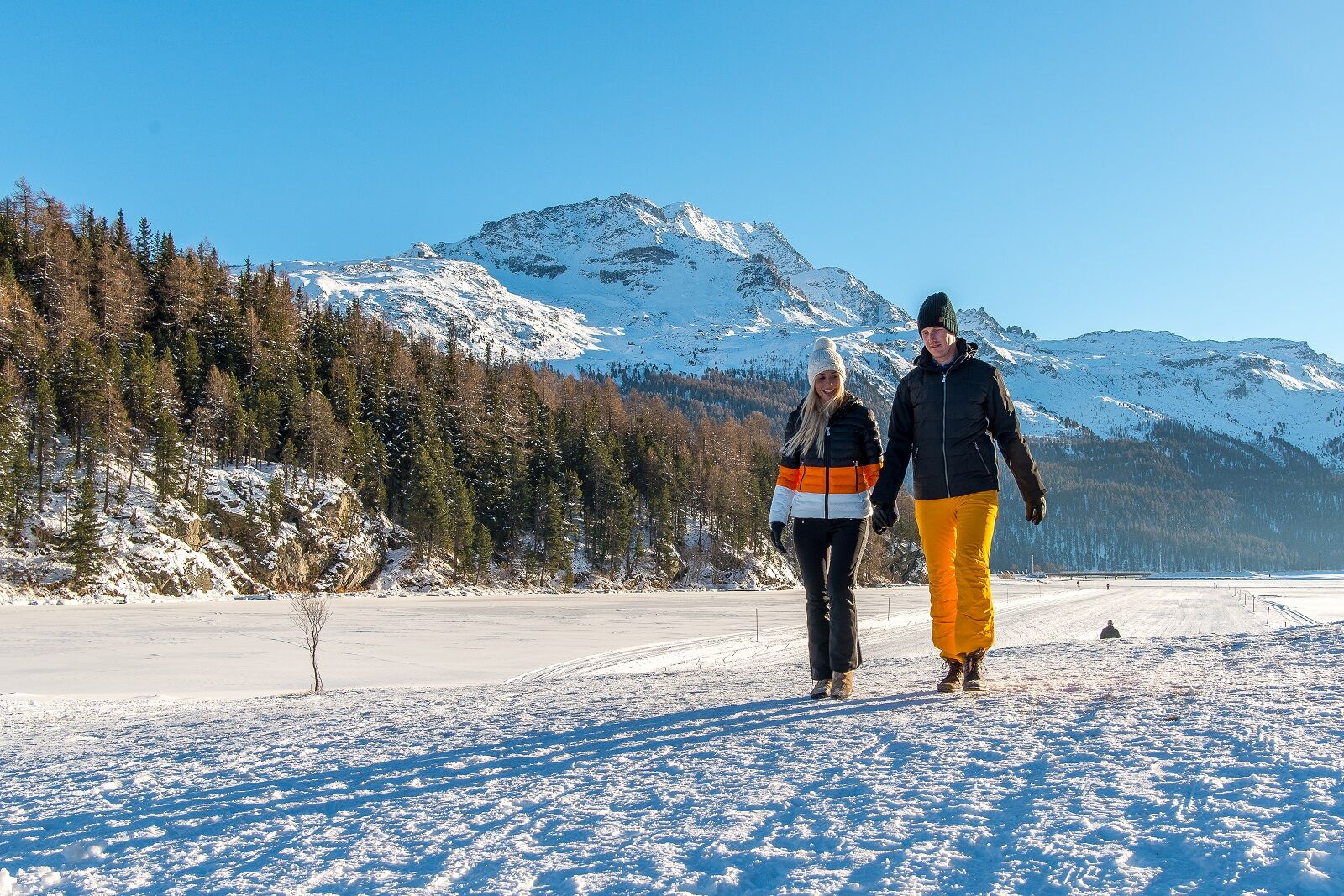
Lake trail St. Moritz - Sils - Maloja (SwitzerlandMobility route 313)


© Sils Tourismus - Gian Giovanoli


© Engadin Tourismus AG - Ch. Sonderegger


- Kratak opis
-
The region of Engadin St. Moritz owes much of its world-famous beauty to its unique lake plateau. And there is certainly something particularly poetic about a winter hike across these three frozen lakes.
- Teškoća
-
teška
- Vrednovanje
-
- Wegverlauf
-
Champfèr (1.825 m)2,0 kmPenisla dal Piz3,4 kmSurlej4,9 kmCrotschas8,9 kmPas-chs9,2 kmSuot l'Ova9,2 kmCrastas Dadour10,5 kmSuot Crastas10,6 kmSils im Engadin (1.803 m)10,6 kmSpuonda Laret11,0 kmPizs11,0 kmPiz d'Islas (1.806 m)13,7 kmCapolago14,0 kmMaloja (See) (1.803 m)16,2 kmPlan dal Palace16,3 kmLa Motta16,8 kmMaloja (1.809 m)17,1 kmMaloja Posta17,1 km
- Beste Jahreszeit
-
kolrujlisstuprosijveljožutrasvilipsrp
- Höchster Punkt
- 1.811 m
- Zielpunkt
-
Maloja Capolago
- Höhenprofil
-
 © outdooractive.com


- Autor
-
Die Tour Lake trail St. Moritz - Sils - Maloja (SwitzerlandMobility route 313) wird von outdooractive.com bereitgestellt.
GPS Downloads


Opće informacije
Einkehrmöglichkeit
Aussichtsreich
Weitere Touren in den Regionen
-
Veltlin / Valtellina
49
-
Engadin St. Moritz
102
-
Sils
46