


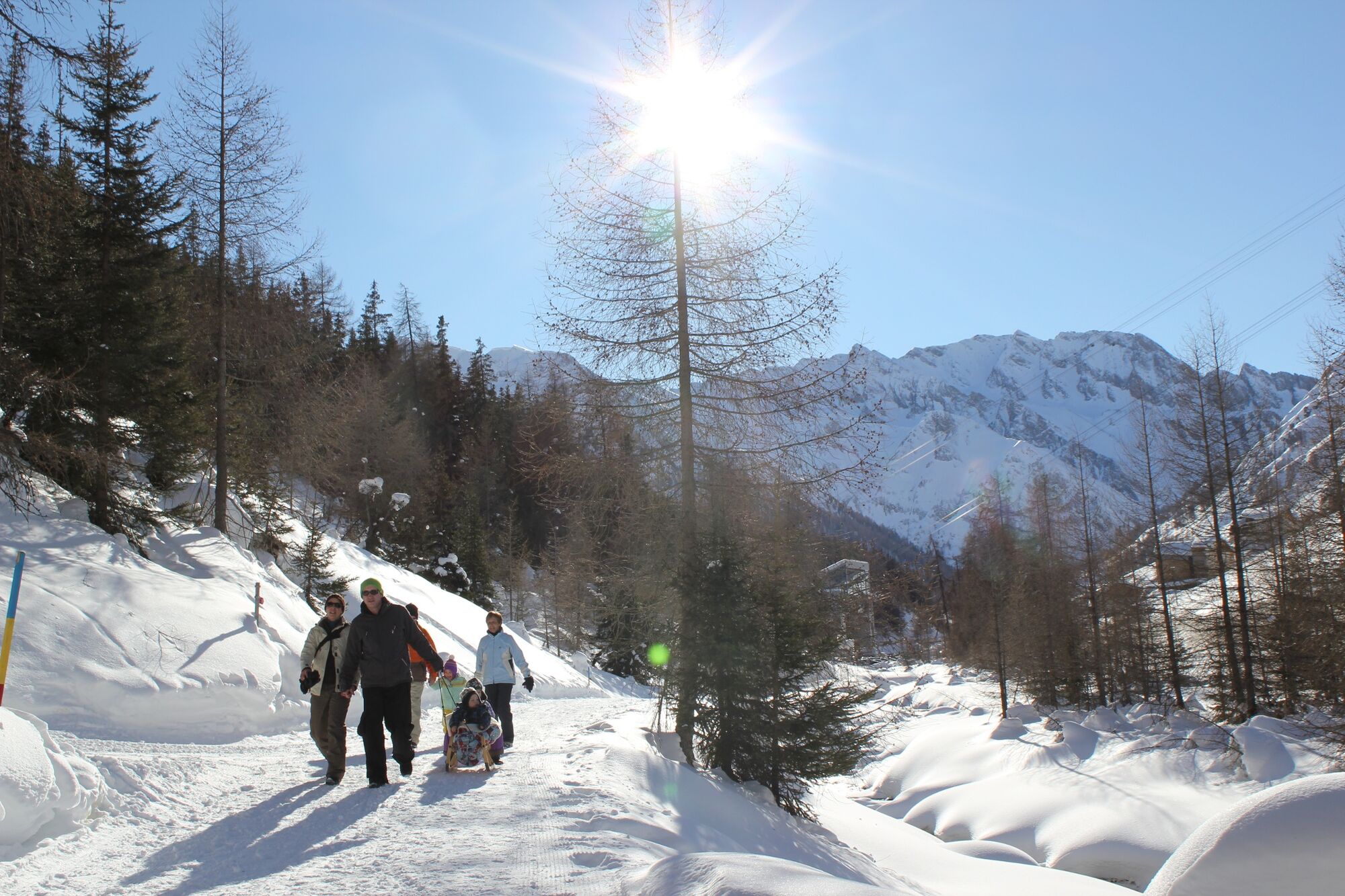
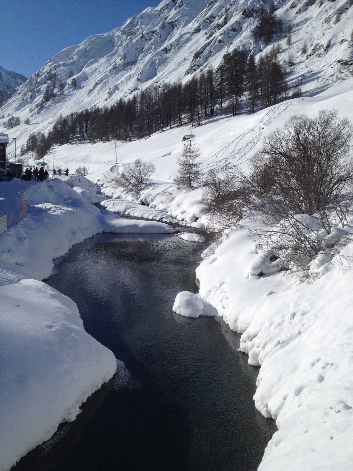
For the first 300 meters you walk along the sidewalk along the valley road. After the small bridge, turn left down to the Schergenbach. Passing the sports field you reach Samnaun-Ravaisch and the valley...
For the first 300 meters you walk along the sidewalk along the valley road. After the small bridge, turn left down to the Schergenbach. Passing the sports field you reach Samnaun-Ravaisch and the valley station of the double-decker cable railway. To the left you will see the Schergenbach, to the right the mixed forest with larches and pines. In Samnaun-Plan there is also the valley museum Chasa Raetica, presumably the oldest building in the Samnaun valley dating from the 16th century. Immediately after leaving the village you walk past the approximately 50 bee colonies of the Samnaun beekeeper. You will reach your destination of Samnaun-Laret after about an hour.

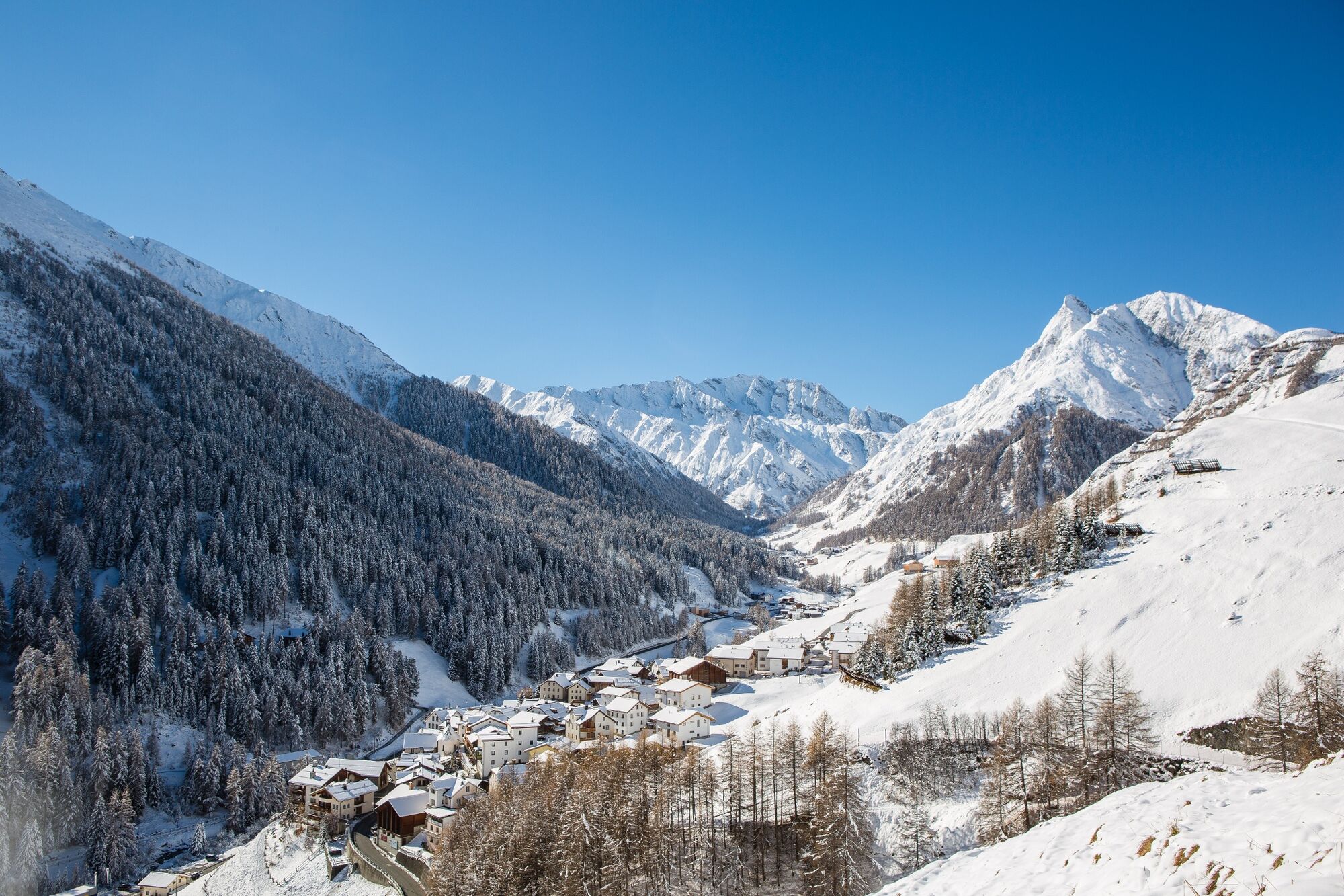
Start at the PostBus stop Samnaun-Dorf, next to the Samnaun guest information. Follow the path along the stream to Samnaun-Laret.
High and sturdy hiking boots or winter boots, warm clothing, sun cream, sunglasses, sunscreen, hiking poles.
The trail is groomed after each snowfall. Please note the message in the condition report. The tour was assessed in favourable weather conditions, current snow and weather conditions must be noted before starting.
Emergency call:
144 Emergency, First Aid
1414 Mountain rescue REGA
112 International emergency call
From the north: via Landquart - Klosters by car transport through the Vereina tunnel (Selfranga - Sagliains). Then take the H27 in the direction of Scuol and Martina to Vinadi. At the Vinadi junction to Samnaun (approx. 1 hour from Vereina south portal).
From the east: via the Inntalstrasse B180 via Landeck to Pfunds, turn off at the Kajetansbrücke bridge and via Spiss to Samnaun.
From the south: via Reschenpass (Nauders) on B180 to Pfunds, junction Kajetansbrücke and via Spiss to Samnaun.
By Rhaetian Railway (from Chur, Landquart/Prättigau or from the Upper Engadine) hourly to Scuol-Tarasp station.
Continue by PostBus (from Scuol-Tarasp, or Martina, cunfin) hourly to PostBus stop Samnaun village, Riva.
In Samnaun, hourly service during the day with the Samnaunbus.
Free parking in Samnaun village (Chasa Riva, Musella or Votlas)
Popular tours in the neighbourhood
-
5,0
Menta Alm - Scheibenalm
lightPješačenje 11,4 km -
4,3
Sonnenkogel - Friedrichshafener lodge
mediumPješačenje 13,2 km -
5,0
Rundwanderung Berglisee, Mathon
heavyPješačenje 11,1 km -
4,5
Radurschelklamm
mediumPješačenje 7,51 km -
4,9
Furgler vom Lazid
heavyPuna brzina 9,60 km -
5,0
Kappl, Diasbahn Bergstation, Niederelbehütte, Diasbahn, Österreich
mediumPješačenje 10,1 km -
5,0
Samnaun Dorf – Muttler
heavyPješačenje 14,8 km -
Suspension Bridge Trail Val Sinestra – Zuort – Griosch – Vnà
mediumPješačenje 11,0 km -
3,6
Bergstation Silvretta nach Patznauener Taja
lightPješačenje 11,6 km -
4,7
Friedrichshafener Hütte und Panoramablick auf Galtür, Jamtal und Silvretta Hochalpenstrasse
mediumMountainbike 31,1 km
bergfex Tours


Ne propustite ponude i inspiraciju za vaš sljedeći odmor
Your e-mail address has been added to the mailing list.