- Kratak opis
-
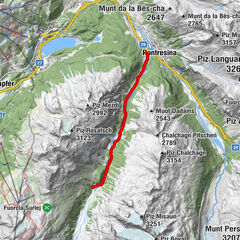
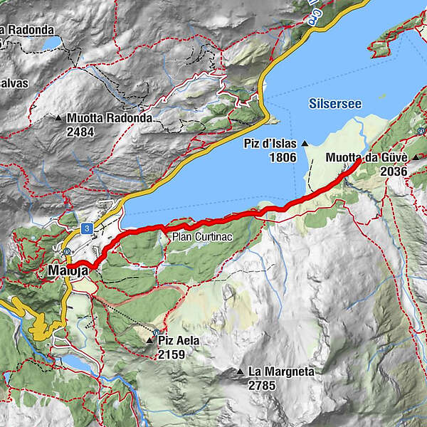
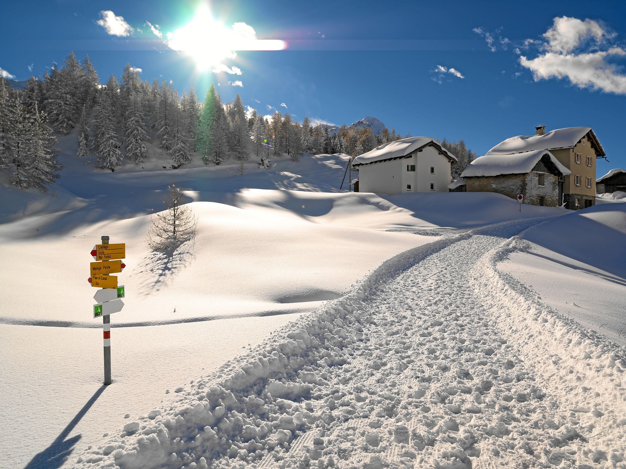
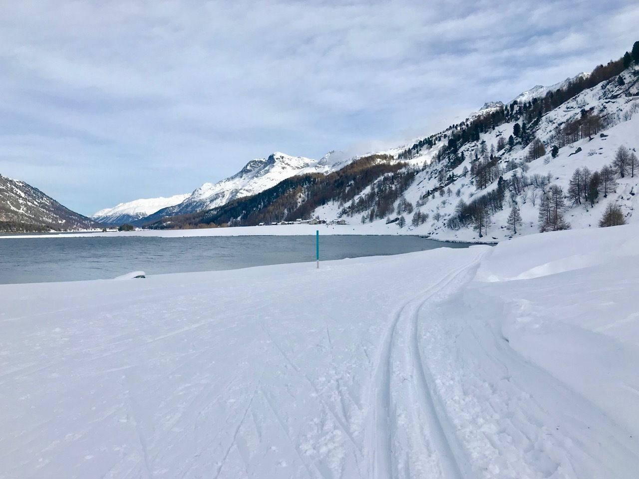
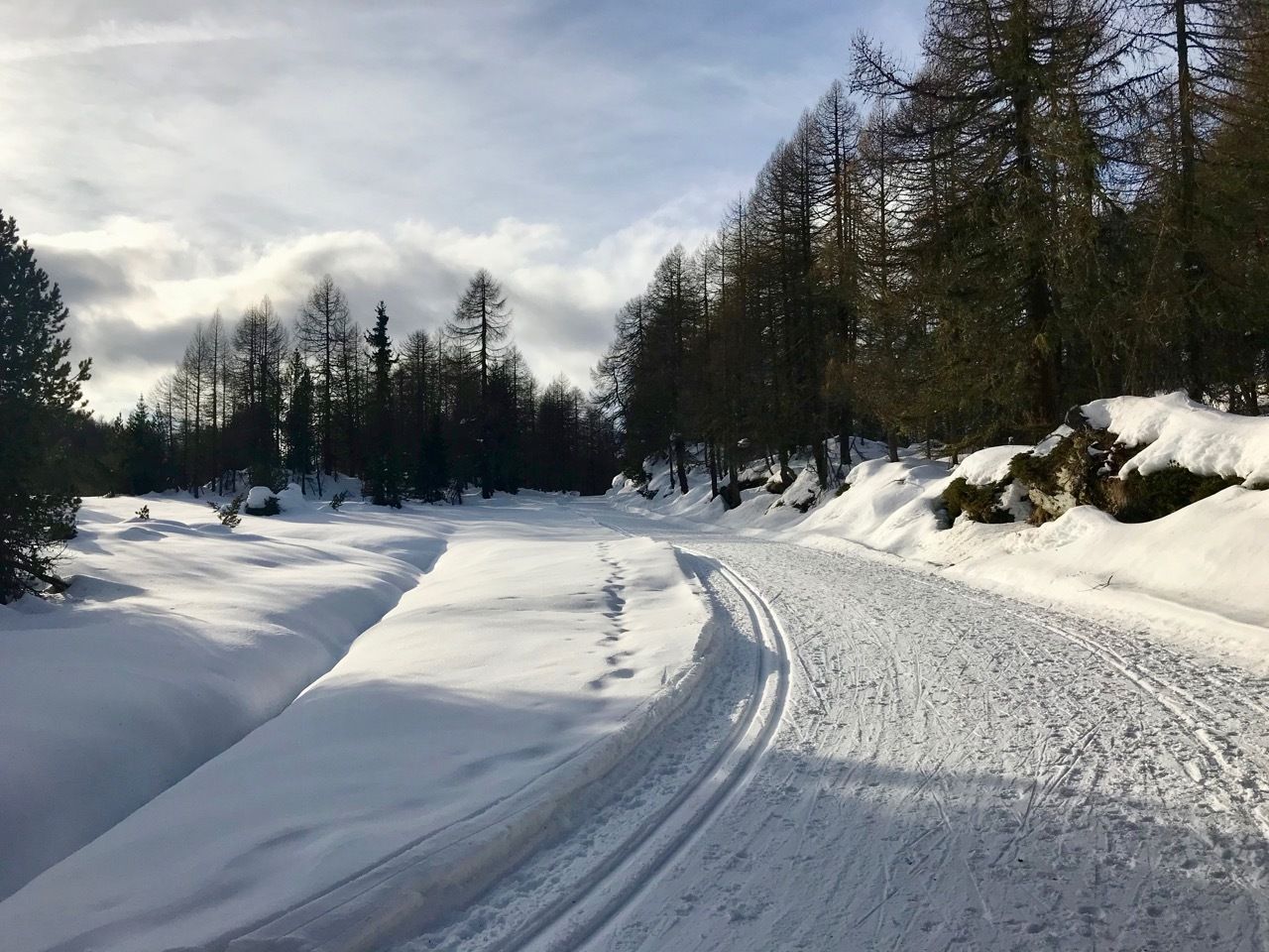
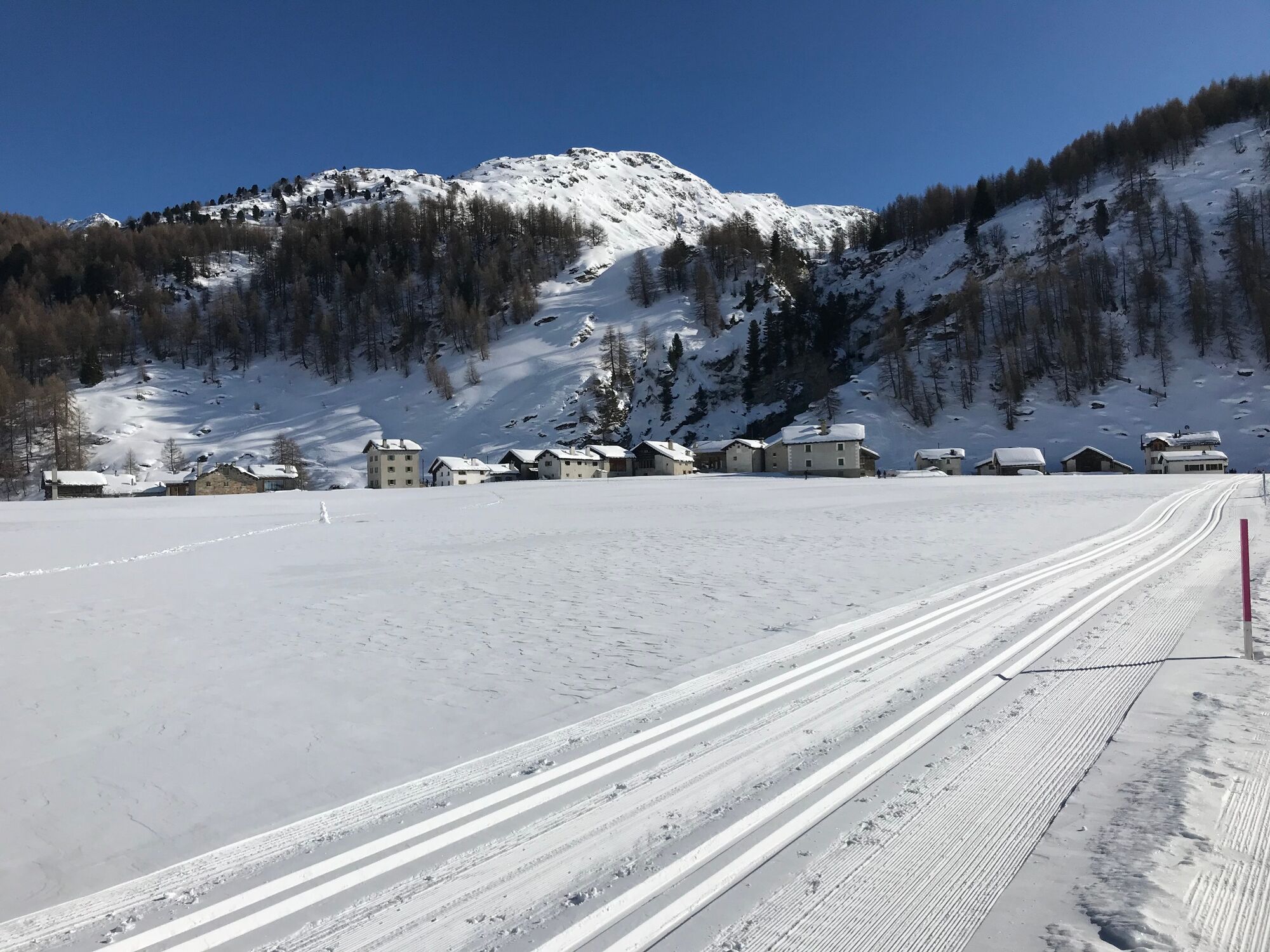
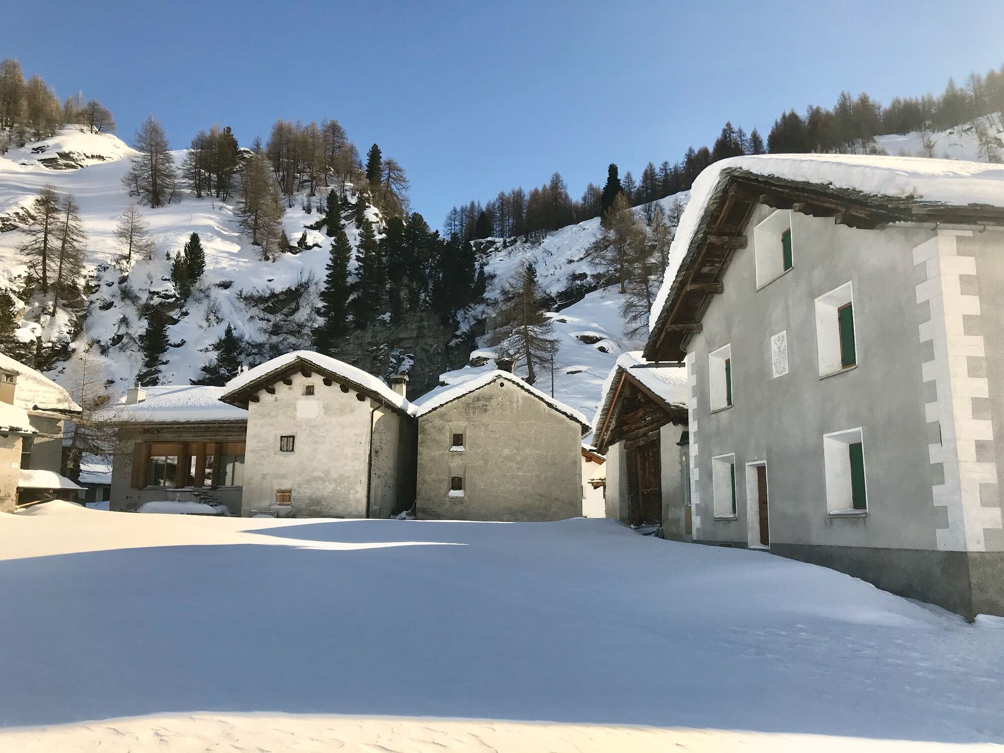
Winter walk from Maloja to Isola, on the summer road along the lake.
- Teškoća
-
lagano
- Vrednovanje
-
- Wegverlauf
-
Maloja PostaMaloja (1.809 m)Schweizerhaus0,0 kmKirche St. Peter und Paul0,0 kmLa Motta0,4 kmCresta0,6 kmPlan Cuncheta1,4 kmIsola (See) (1.810 m)3,2 kmIsola (1.811 m)3,9 km
- Beste Jahreszeit
-
kolrujlisstuprosijveljožutrasvilipsrp
- Höchster Punkt
- 1.824 m
- Zielpunkt
-
Parking at Giacometti Sport Maloja
- Höhenprofil
-
 © outdooractive.com
- Autor
-
Die Tour Maloja - Isola - Maloja wird von outdooractive.com bereitgestellt.
GPS Downloads


Opće informacije
Einkehrmöglichkeit
Weitere Touren in den Regionen