
© Flims Laax Falera - Nora Beeli
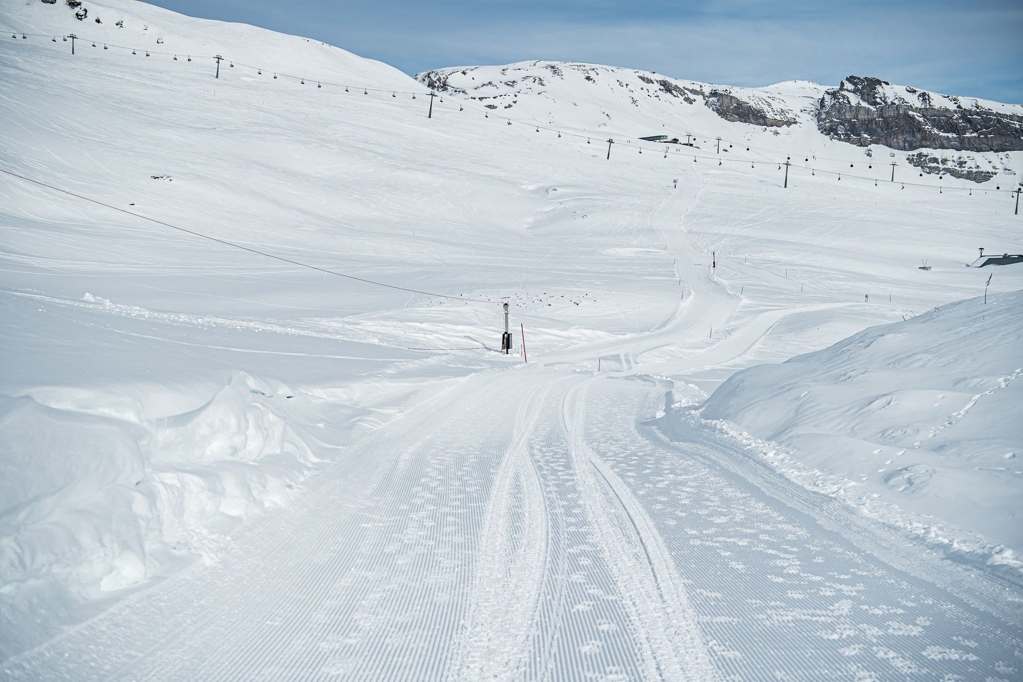
© Flims Laax Falera - Nora Beeli
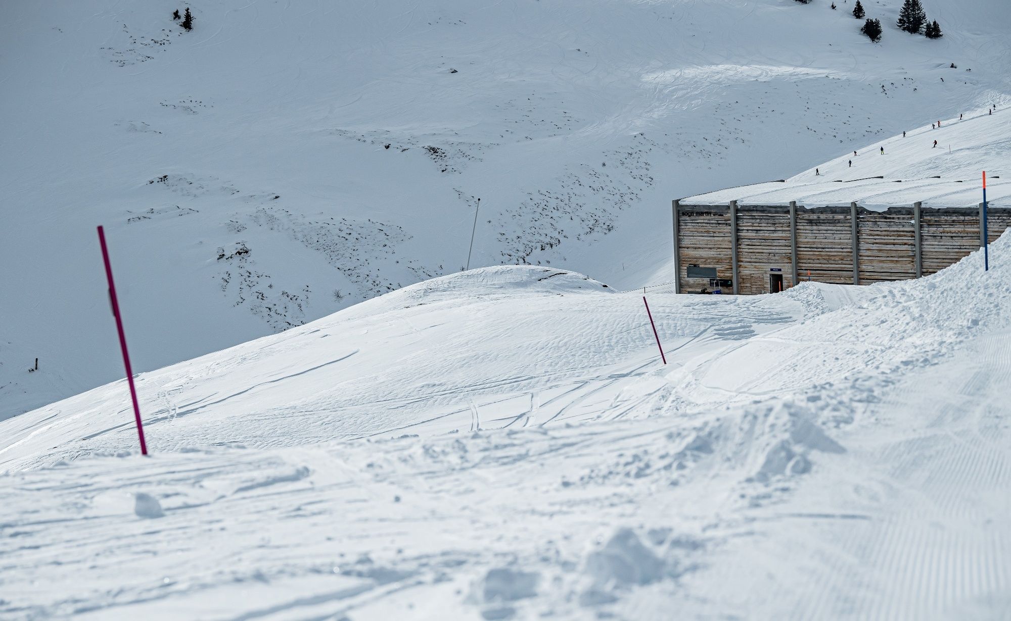
© Flims Laax Falera - Nora Beeli
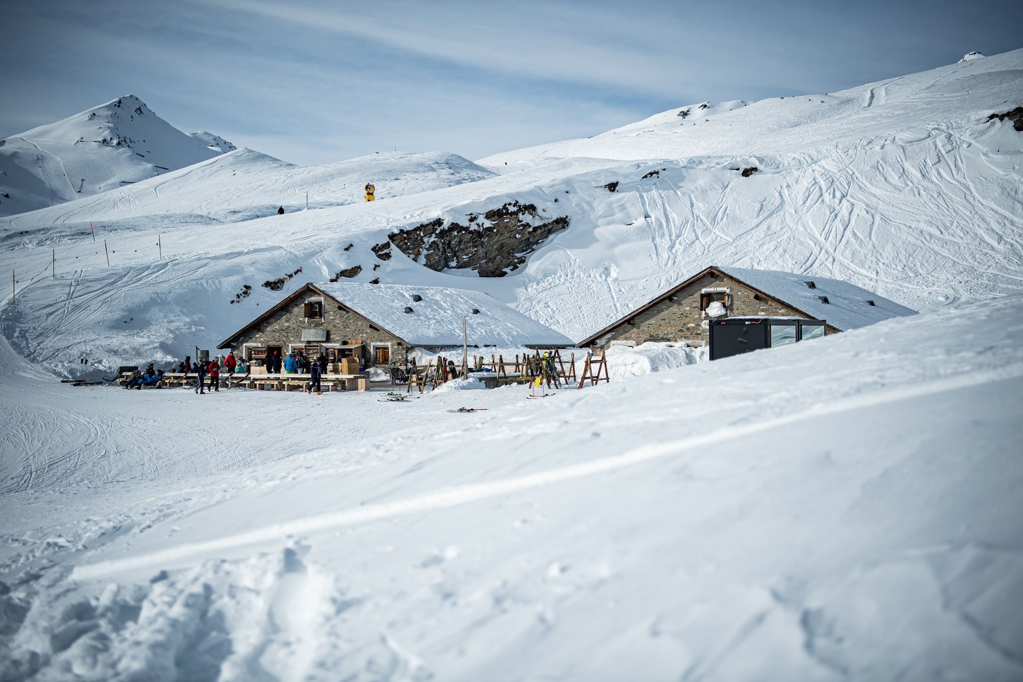
© Flims Laax Falera - Nora Beeli
- Kratak opis
-
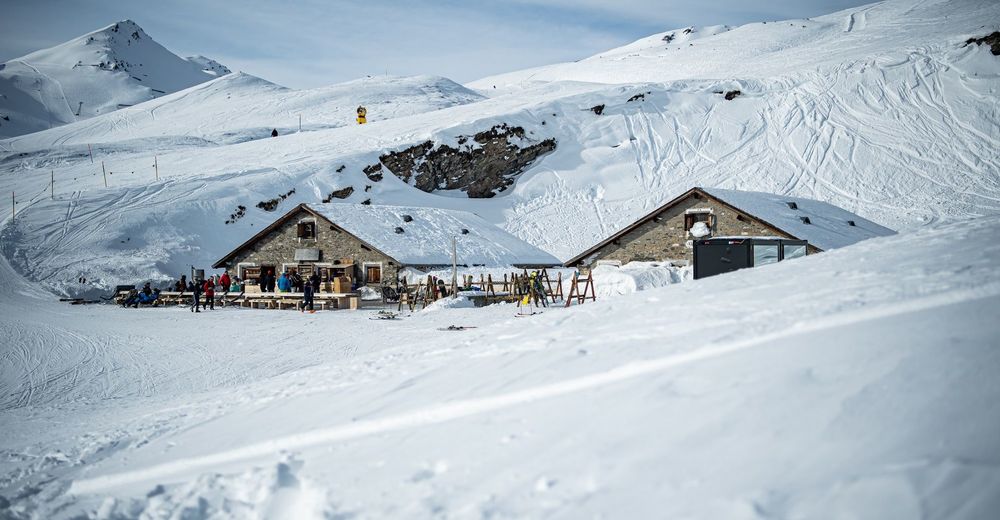
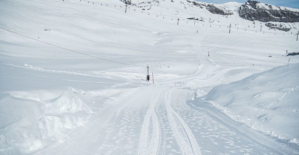
From the mountain station Scansinas the hike goes to the Alp Sogn Martin. The easy to moderate hike always has a comfortable gradient.
- Teškoća
-
lagano
- Vrednovanje
-
- Wegverlauf
- Beste Jahreszeit
-
kolrujlisstuprosijveljožutrasvilipsrp
- Höchster Punkt
- 2.005 m
- Zielpunkt
-
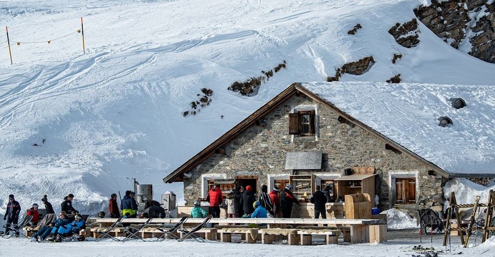
Alp Sogn Martin
- Höhenprofil
-
 © outdooractive.com

- Autor
-
Die Tour Scansinas - Alp Sogn Martin wird von outdooractive.com bereitgestellt.
GPS Downloads


Opće informacije
Einkehrmöglichkeit
Aussichtsreich
Weitere Touren in den Regionen
-
Glarnerland
247
-
Flims Laax Falera
174
-
Ladir
112


