Stryck - Dommel - Eisenberg - Wakenfeld
heavy
Navigate
Navigate
Get this tour on your mobile
Stryck - Dommel - Eisenberg - Wakenfeld
heavy
Mountainbike
66,42
km
Scan the QR code and start navigation in the bergfex app

Hiking & Tracking


Distance
66,42
km
Duration
06:28
h
Ascent
970
m
Sea level
357 -
735
m
Track download
Stryck - Dommel - Eisenberg - Wakenfeld
heavy
Mountainbike
66,42
km


Route
Stryck
(584 m)
Village
0,8 km
Dommel
(738 m)
Summit
11,2 km
Eisenberg
(595 m)
Summit
32,1 km
St.-Barbara-Kirche
(391 m)
Place of worship
42,8 km
Bontkirchen
(405 m)
Village
52,2 km
Schwalefeld
(505 m)
Village
61,7 km
Wakenfeld
(603 m)
Corridor/terrain
65,3 km
Route
Stryck
(584 m)
Village
0,8 km
Dommelbach
(618 m)
Source
10,1 km
Dommel
(738 m)
Summit
11,2 km
Fährhaus
(382 m)
Restaurant
27,4 km
Eisenberg
(595 m)
Summit
32,1 km
Seehotel Diemelsee
(389 m)
Restaurant
42,2 km
Heringhausen
(386 m)
Village
42,7 km
St.-Barbara-Kirche
(391 m)
Place of worship
42,8 km
Bontkirchen
(405 m)
Village
52,2 km
Rattlar
(575 m)
Village
58,6 km
Schwalefeld
(505 m)
Village
61,7 km
Wakenfeld
(603 m)
Corridor/terrain
65,3 km
No reviews yet
Webcams of the tour
-
Talstation Ettelsberg-Seilbahn
-
Kurhotel Hochsauerland 2010
-
Kurhotel Hochsauerland 2010
-
Kurhotel Hochsauerland 2010
-
Kurhotel Hochsauerland 2010
-
Kurhotel Hochsauerland 2010
-
Hochheideturm - Ettelsberg
-
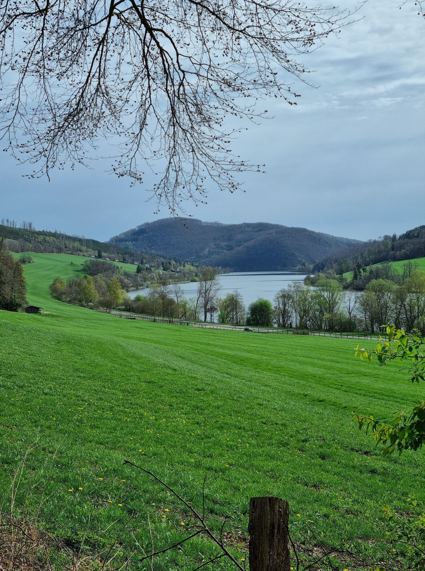
Diemelsee – Heringhausen – Strandbad mit Seepromenade
-
Skywalk
-
Skywalk
-
Skywalk
-
Skywalk
-
Skywalk
-
Stern Hotel Sauerland
-
Schwalefeld - Cafe Fernblick
-
Willinger Brauhaus
-
Ettelsberg
Popular tours in the neighbourhood
-
4,0
Langenberg trail (quality route)
heavyPješačenje 14,6 km -
Olsberg summit cross tour (Quality route Germany's hiking network) 4th stage Kneipp hiking trail
heavyPješačenje 5,47 km -
Schmalahtal circular route (quality route Walkable Germany)
mediumPješačenje 8,49 km -
5,0
Rundweg Skywalk/Schanze - Ettelsberg
lightPješačenje 4,10 km -
4,0
Willingen (W8)
mediumPješačenje 12,9 km -
4,7
Bruchhauser Steine B1
mediumPješačenje 11,8 km -
5,0
Rothaarsteig from Brilon to Willingen
heavyPješačenje 25,8 km -
Bruchhausener Steine
heavyPješačenje 5,15 km -
5,0
Willingen (W8)
mediumPješačenje 12,9 km -
5,0
Upländer Besinnungsweg
lightPješačenje 17,6 km
bergfex Tours

Over 550.000 tour suggestions, detailed maps and an intuitive route planner make the app a must-have for all nature enthusiasts.

Ne propustite ponude i inspiraciju za vaš sljedeći odmor
Subscribe to the newsletter
Error
An error has occurred. Please try again.
Thank you for your registration
Your e-mail address has been added to the mailing list.
Tours throughout Europe
Austrija
Švicarska
Njemačka
Italija
Slovenija
Francuska
Nizozemska
Belgija
Poljska
Lihtenštajn
Češka
Slovačka
Španija
Hrvatska
Bosna i Hercegovina
Luksemburg
Andora
Portugal
Island
Ujedinjeno Kraljevstvo
Irska
Grčka
Albanija
Sjeverna Makedonija
Malta
Norveška
Crna Gora
Moldova
Kosovo
Mađarska
San Marino
Rumunjska
Estonija
Latvija
Bjelorusija
Cipar
Litva
Srbija
Bugarska
Monako
Danska
Švedska
Finska