

© Slovenia Outdoor - Peter Lenarcic

© Slovenia Outdoor - Peter Lenarcic

© Slovenia Outdoor - Peter Lenarcic

© Slovenia Outdoor - Peter Lenarcic

© Slovenia Outdoor - Peter Lenarcic

© Slovenia Outdoor - Peter Lenarcic

© Slovenia Outdoor - Peter Lenarcic

© Slovenia Outdoor - Peter Lenarcic

© Slovenia Outdoor - Peter Lenarcic
- Kratak opis
-
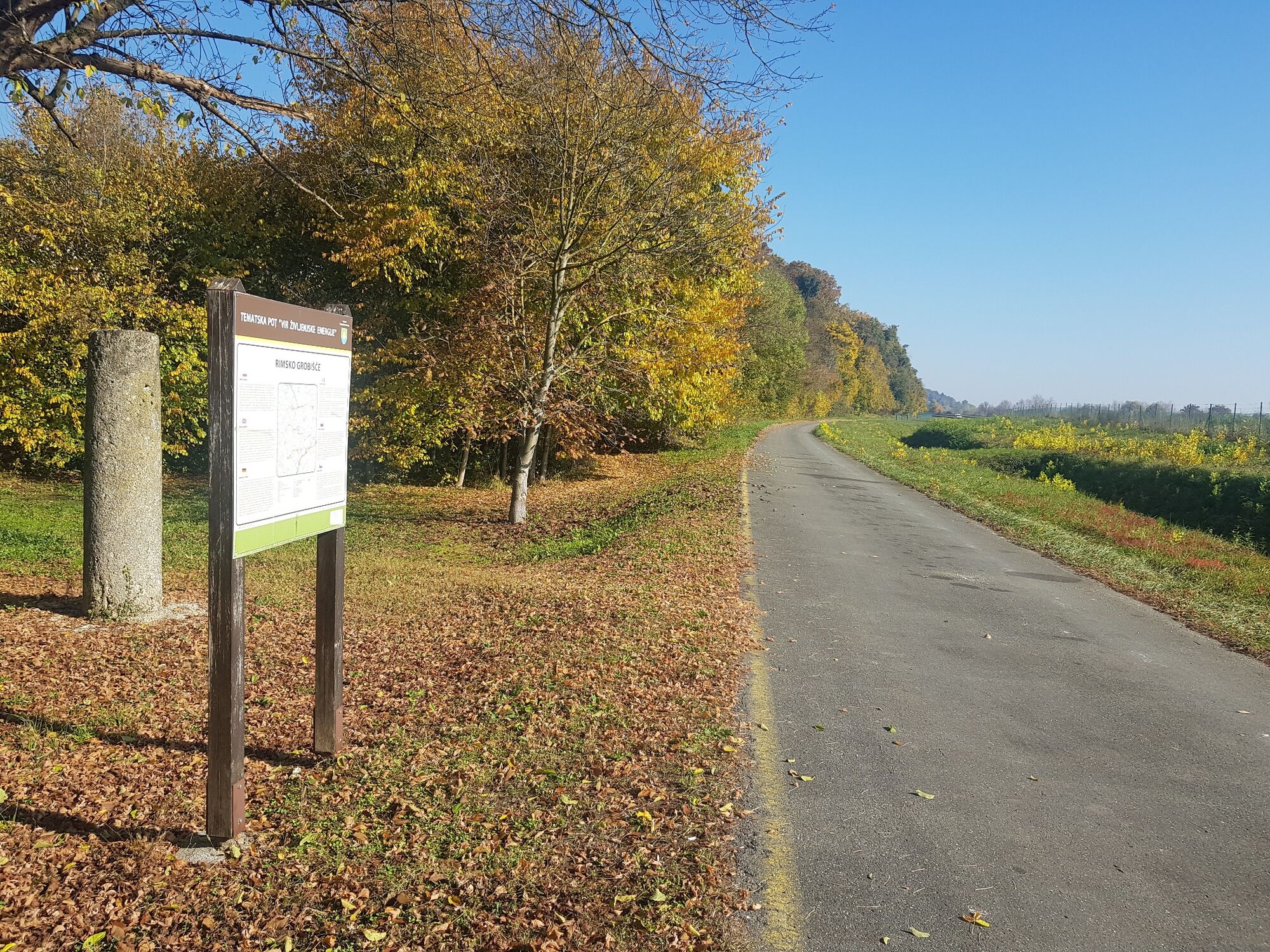
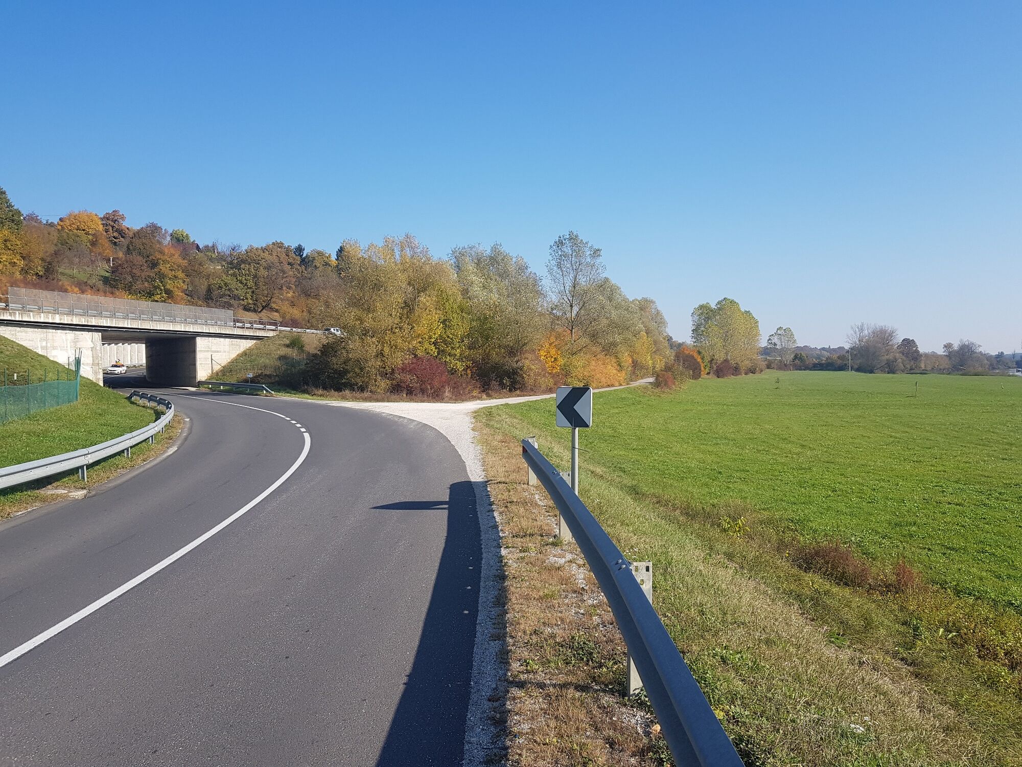
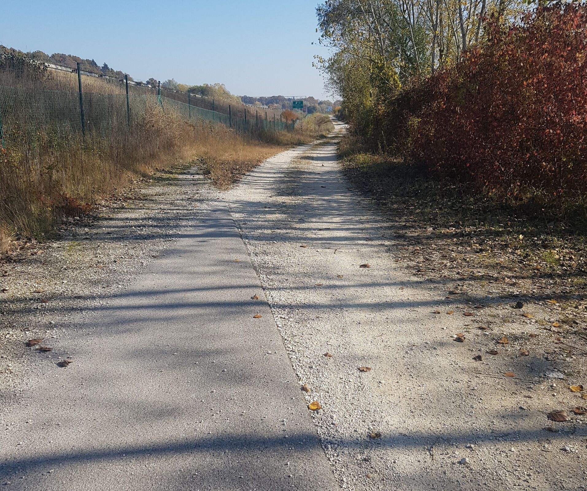
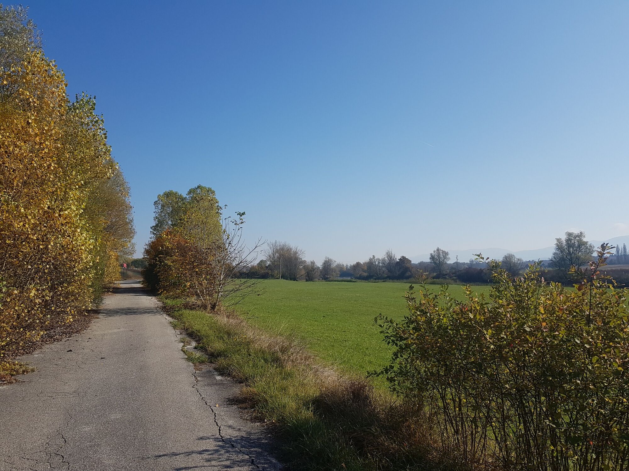
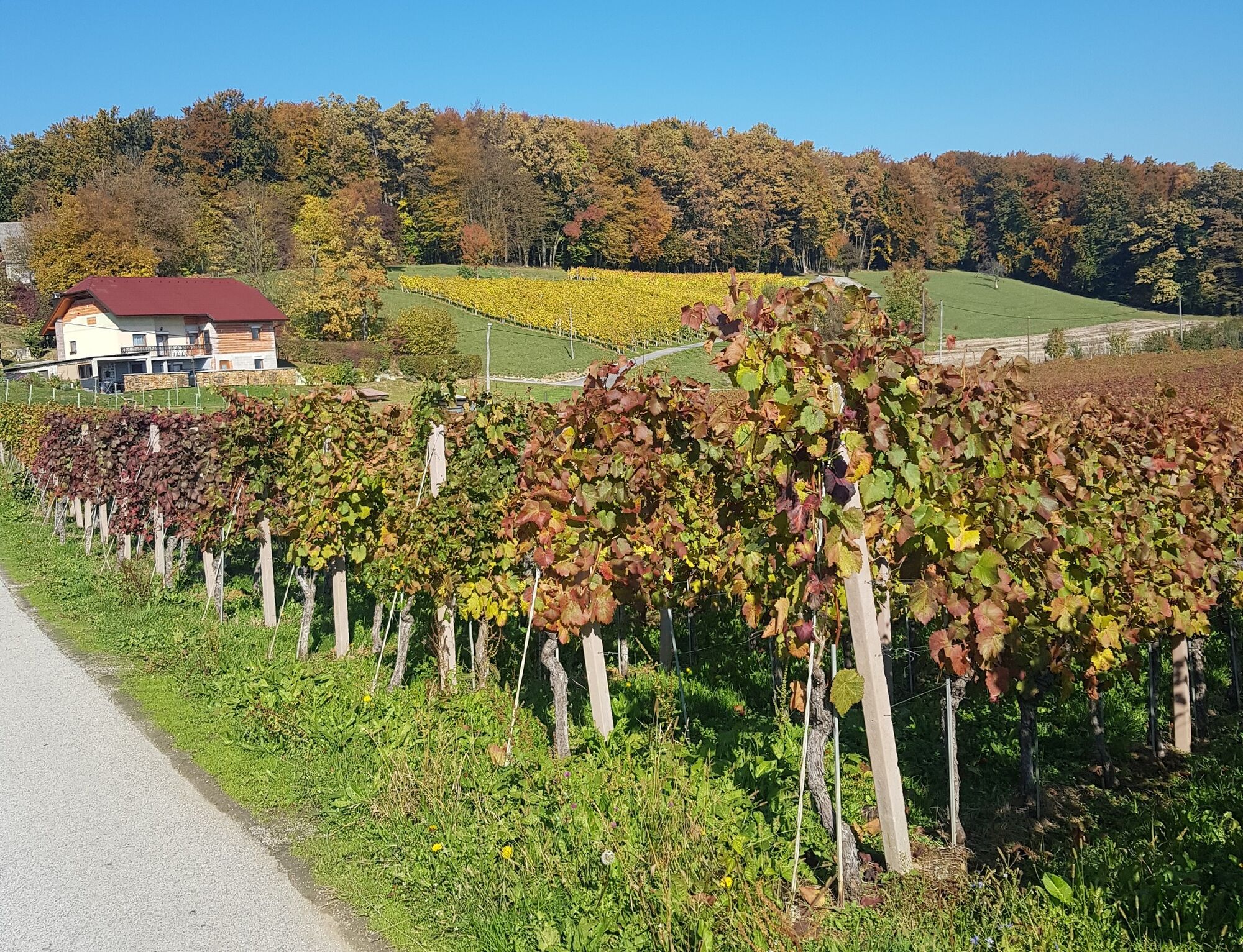
The second part of the bike path from Novo Mesto towards the village of Škocjan. Another option is to turn towards the village of Žbure in Šmarješke Toplice.
- Teškoća
-
srednje
- Vrednovanje
-
- Wegverlauf
-
Dolenje Kronovo0,2 kmBreška vas1,9 kmBela Cerkev2,4 kmDraga3,1 kmHrib3,9 kmRuhna vas4,2 kmTomažja vas6,2 kmGostilna Racman6,2 kmDobruška vas8,0 kmGrmovlje8,5 kmDolenja Stara vas9,4 kmZavinek9,7 kmHrastulje10,2 kmSankt Kanzian10,2 km
- Beste Jahreszeit
-
sijveljožutrasvilipsrpkolrujlisstupro
- Höchster Punkt
- 229 m
- Zielpunkt
-
Škocjan bus station
- Höhenprofil
-
 © outdooractive.com

- Autor
-
Die Tour Cycling trail from Šmarješke Toplice to Škocjan wird von outdooractive.com bereitgestellt.
GPS Downloads


Opće informacije
Einkehrmöglichkeit
Kulturell/Historisch
Aussichtsreich
Weitere Touren in den Regionen