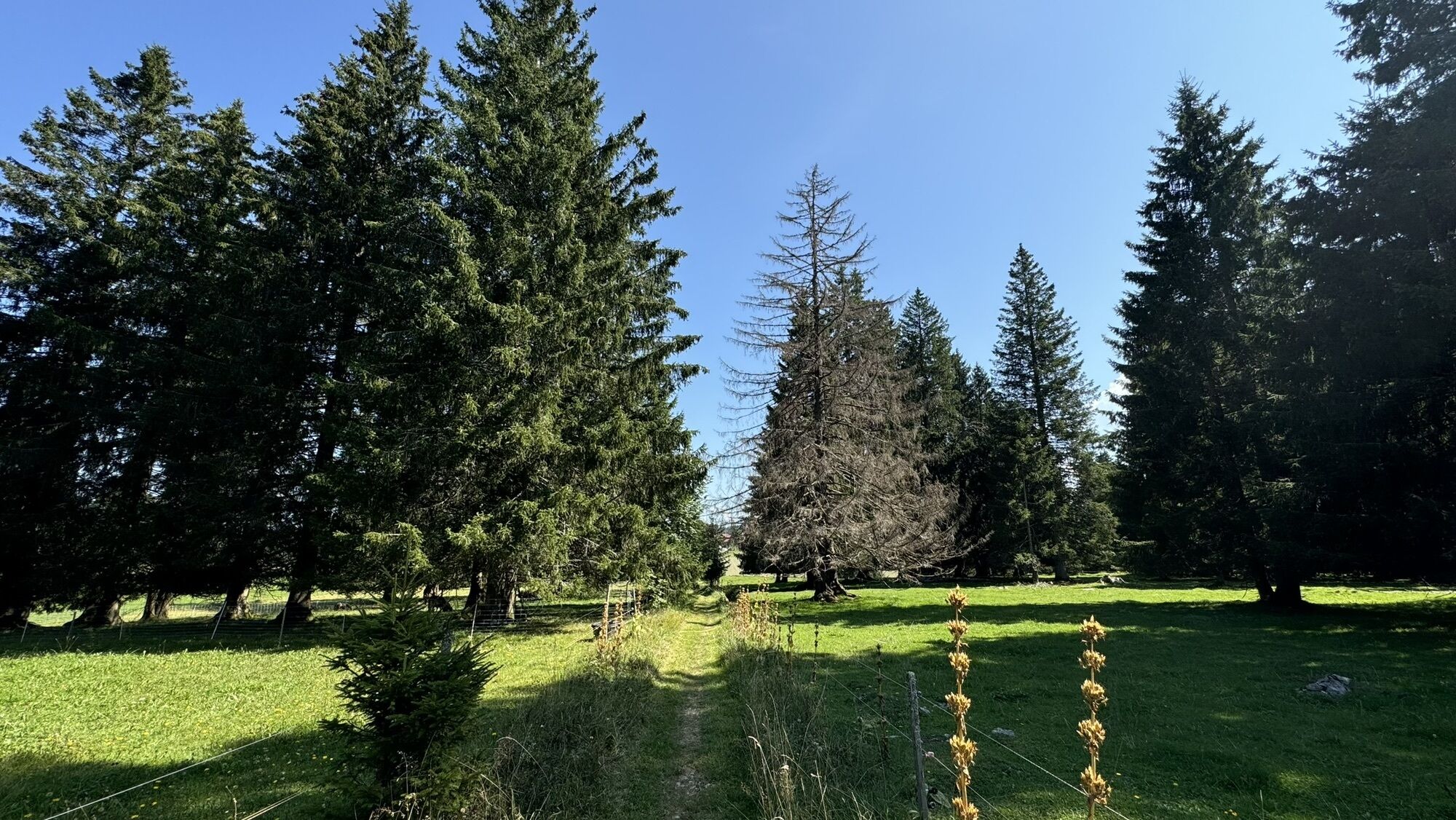
Saignelégier - Saigneux - Mont Soleil - La Ferrière
medium
Navigate
Navigate
Get this tour on your mobile
Saignelégier - Saigneux - Mont Soleil - La Ferrière
medium
Mountainbike
36,00
km
Scan the QR code and start navigation in the bergfex app

Hiking & Tracking


Distance
36,00
km
Duration
02:08
h
Ascent
333
m
Sea level
961 -
1.285
m
Track download
Saignelégier - Saigneux - Mont Soleil - La Ferrière
medium
Mountainbike
36,00
km


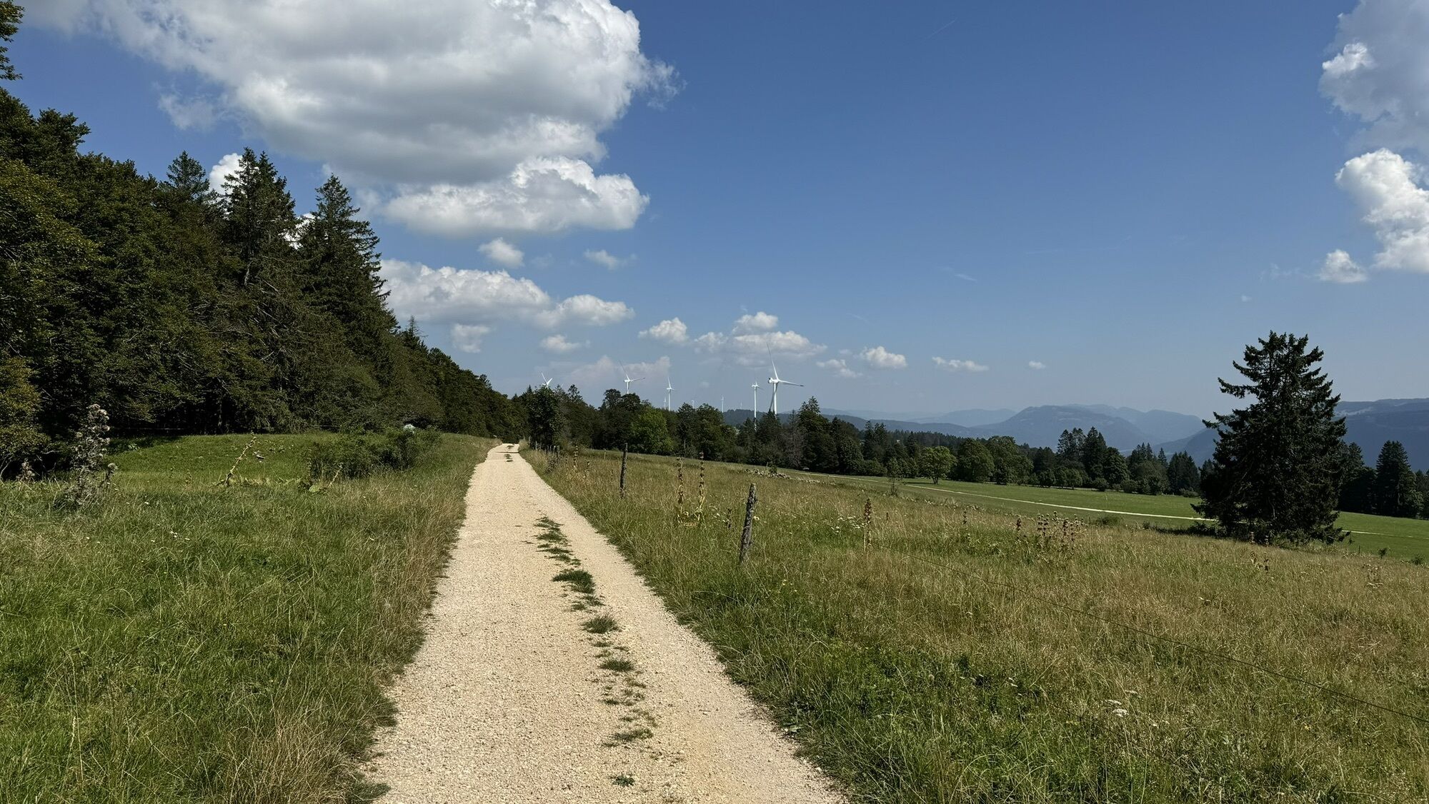
Route
Saigneux
(982 m)
Restaurant
0,1 km
Saignelégier
(978 m)
Village
0,3 km
Les Cerlatez
(1.002 m)
Settlement
3,6 km
Les Ravières
(1.028 m)
Settlement
16,6 km
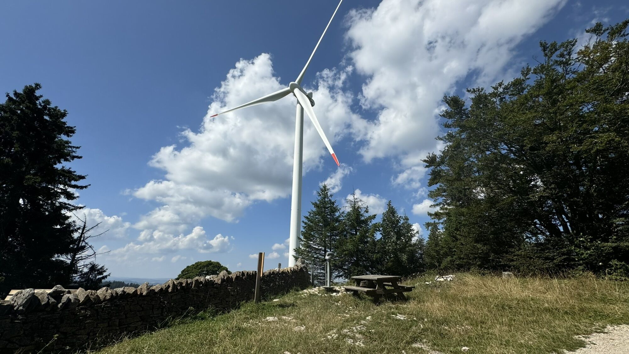
Mont Soleil
(1.291 m)
Summit
24,8 km
Auberge L'Assesseur
(1.199 m)
Restaurant
28,3 km
Logis de la Licorne
(1.003 m)
Restaurant
36,0 km
Route
Saignelégier - Saigneux - Mont Soleil - La Ferrière
medium
Mountainbike
36,00
km
Saignelégier
(982 m)
Railway station
0,0 km
Saigneux
(982 m)
Restaurant
0,1 km
Saignelégier
(978 m)
Village
0,3 km
Restaurant de la Gare
(985 m)
Restaurant
0,3 km
Les Cerlatez
(1.002 m)
Settlement
3,6 km
Le Cernil
(1.007 m)
Settlement
9,7 km
Sur-Angosse
(1.023 m)
Corridor/terrain
15,5 km
Les Ravières
(1.028 m)
Settlement
16,6 km
Fonds des Vies
(1.073 m)
Corridor/terrain
17,8 km
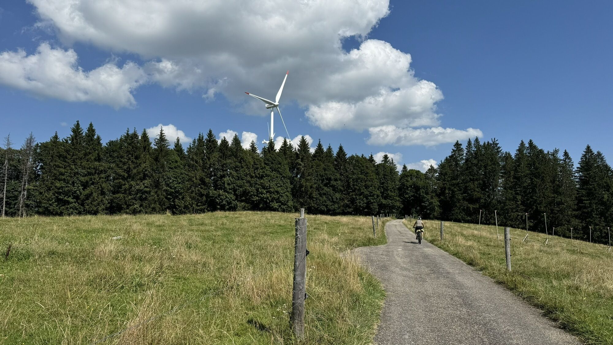
Mont Soleil
(1.291 m)
Summit
24,8 km
Auberge L'Assesseur
(1.199 m)
Restaurant
28,3 km
La Ferrière
(1.005 m)
Railway station
35,9 km
Logis de la Licorne
(1.003 m)
Restaurant
36,0 km
No reviews yet
Popular tours in the neighbourhood
-
4,0
La Goule - Theusseret & retour
lightPješačenje 5,92 km -
Saulcy - Schlucht Tabeillon - Saulcy (JU🇨🇭)
mediumPješačenje 13,1 km -
Kleiner Ausflug
lightMountainbike 16,9 km -
Goumois, durch den Wald an die Doubs zurück
lightPješačenje 7,17 km -
Les Savagnières
mediumPješačenje 22,0 km -
Windpark Mont Crosin
lightPješačenje 14,8 km -
Parcours d’été
lightMountainbike 25,9 km -
Adventure trail - Lea and Ben with the suckler cows - 20.05. - 31.10.2025 /2026 in Saignelégier (JU)
lightTematska staza 2,80 km -
Villeret via Combe Grède – Chasseral – Les Colisses du Haut – La Ragie nach Orvin
lightPješačenje 22,7 km -
Les Reussilles um den Etang de la Guère
lightPješačenje 11,8 km
bergfex Tours

Over 550.000 tour suggestions, detailed maps and an intuitive route planner make the app a must-have for all nature enthusiasts.

Ne propustite ponude i inspiraciju za vaš sljedeći odmor
Subscribe to the newsletter
Error
An error has occurred. Please try again.
Thank you for your registration
Your e-mail address has been added to the mailing list.
Tours throughout Europe
Austrija
Švicarska
Njemačka
Italija
Slovenija
Francuska
Nizozemska
Belgija
Poljska
Lihtenštajn
Češka
Slovačka
Španija
Hrvatska
Bosna i Hercegovina
Luksemburg
Andora
Portugal
Island
Ujedinjeno Kraljevstvo
Irska
Grčka
Albanija
Sjeverna Makedonija
Malta
Norveška
Crna Gora
Moldova
Kosovo
Mađarska
San Marino
Rumunjska
Estonija
Latvija
Bjelorusija
Cipar
Litva
Srbija
Bugarska
Monako
Danska
Švedska
Finska