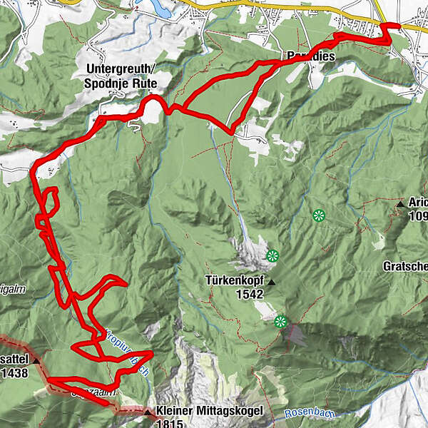
Podaci o ruti
29,76km
592
- 1.595m
1.134hm
1.114hm
03:01h
- Kratak opis
-
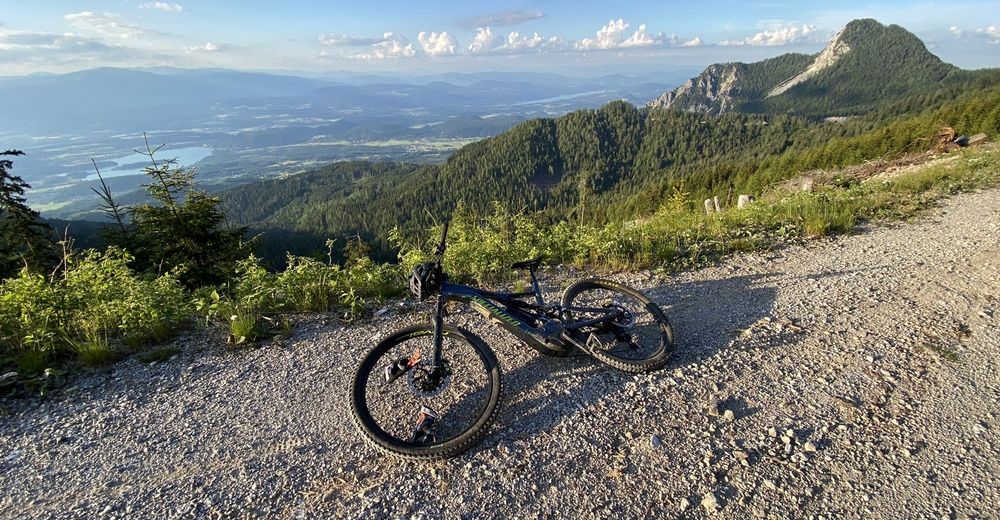
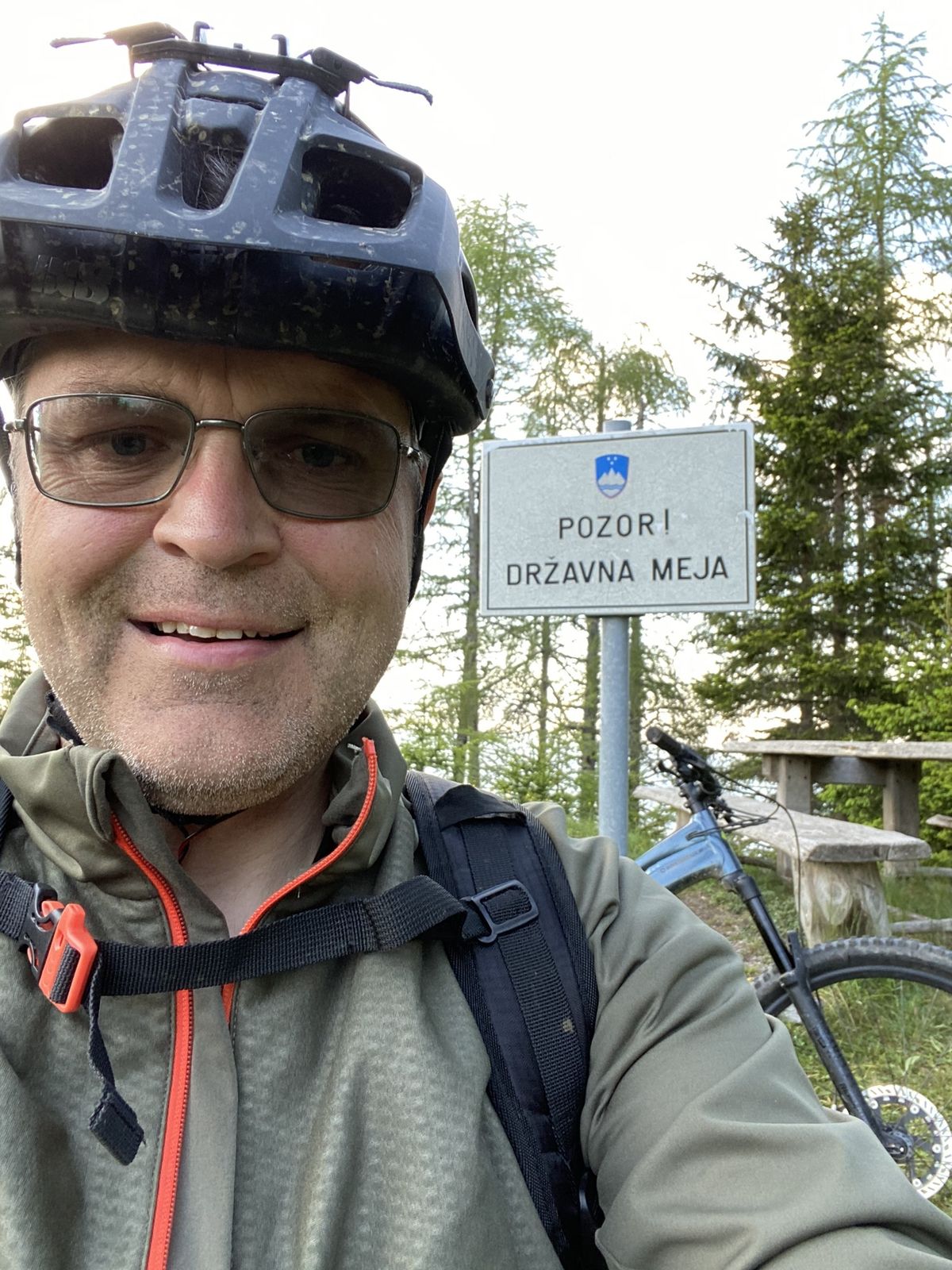
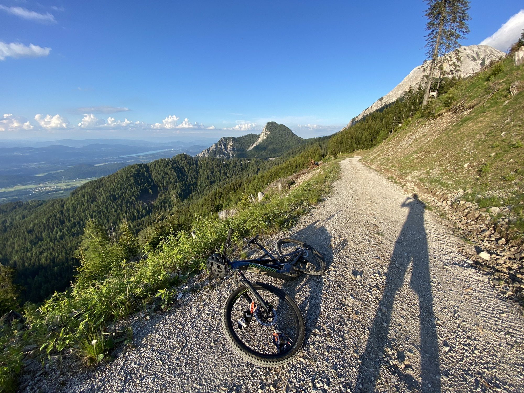
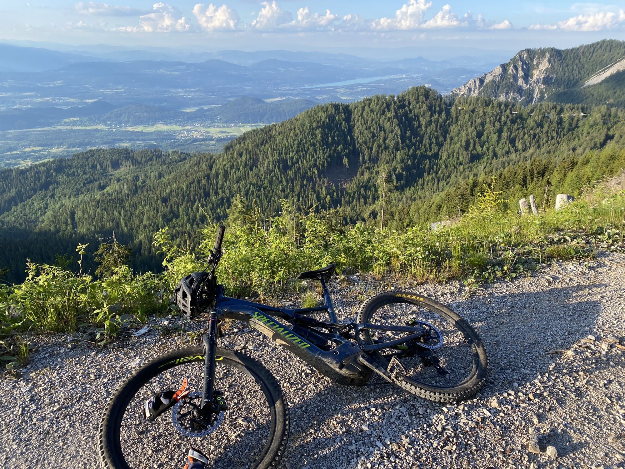
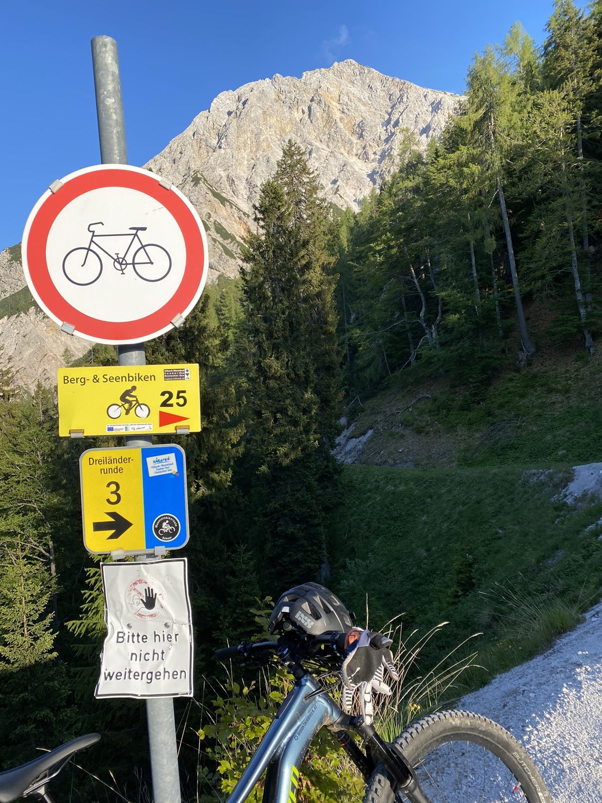
Uphill Schotterstraße. Downhill mixed
- Teškoća
-
srednje
- Vrednovanje
-
- Wegverlauf
-
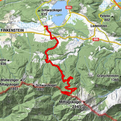
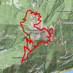
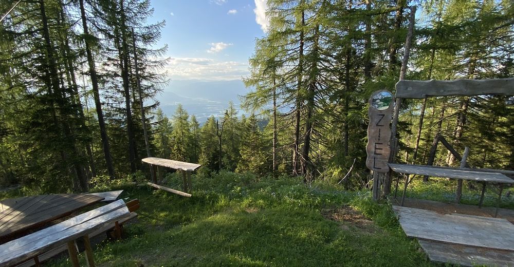
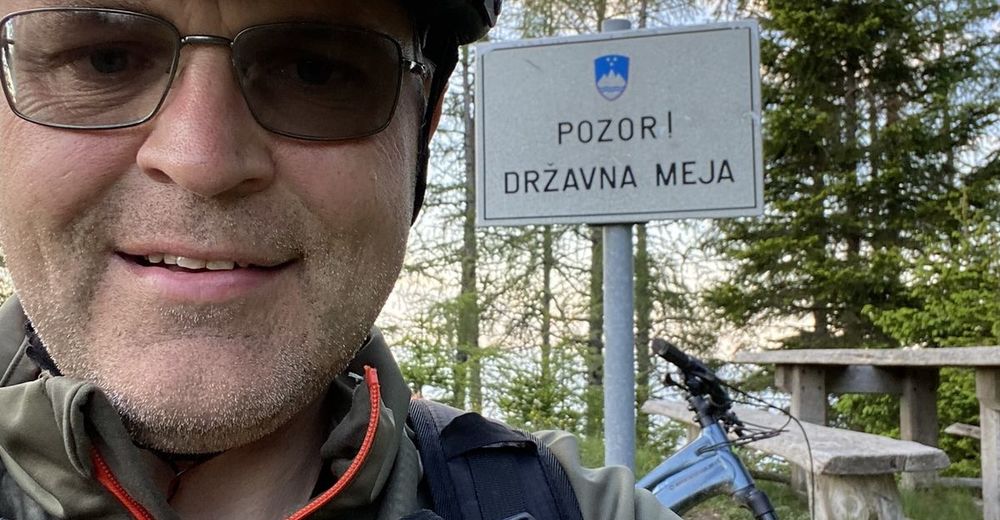
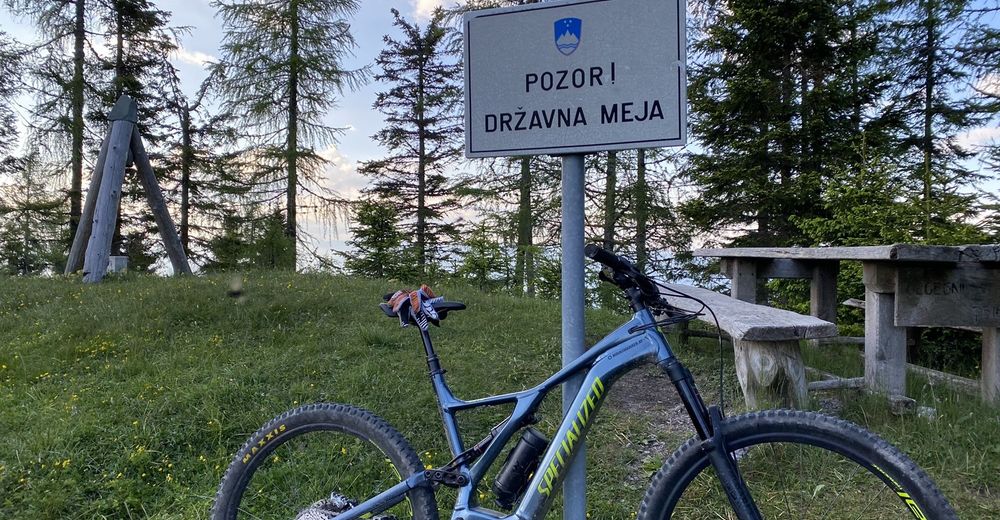
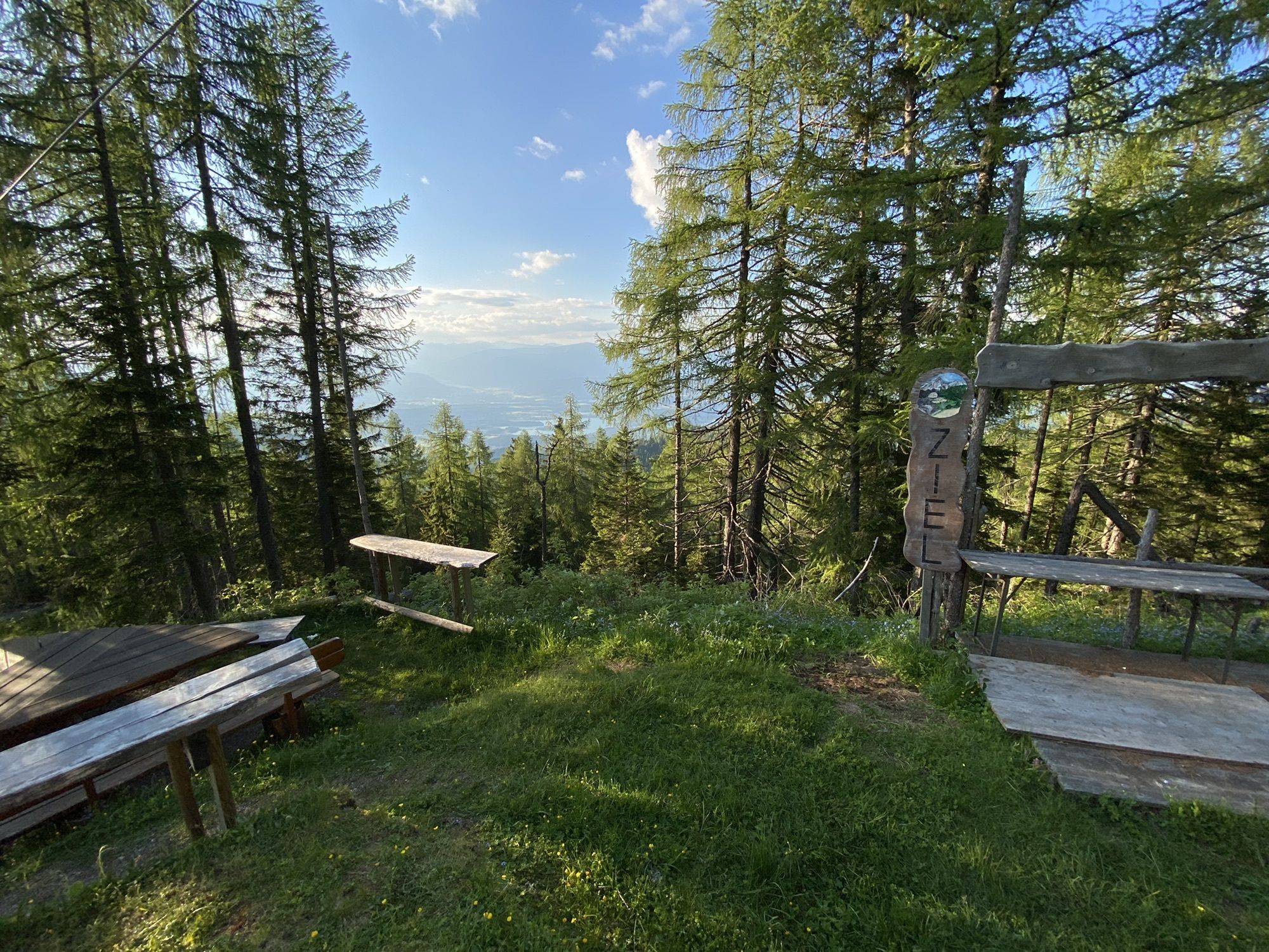
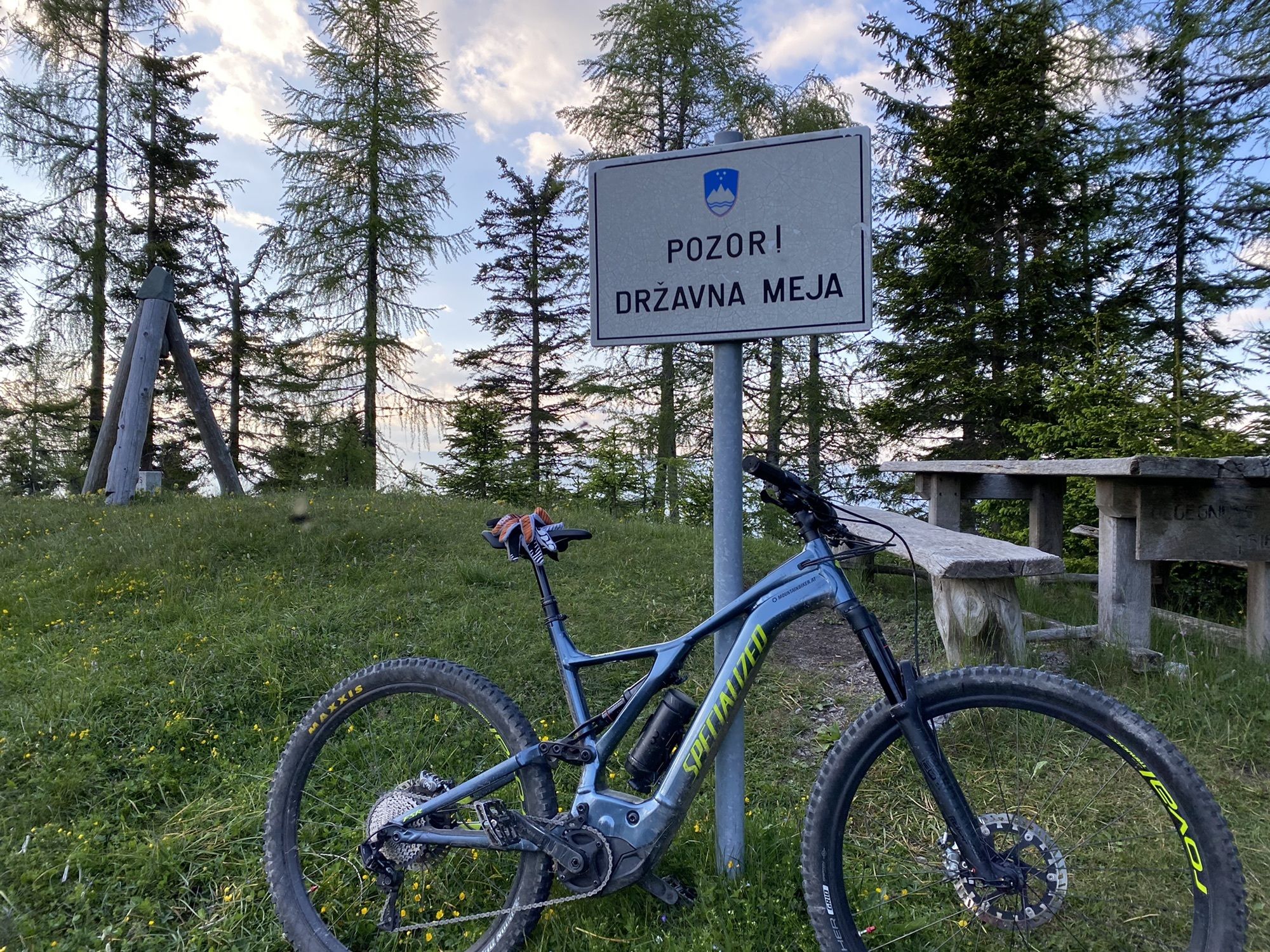
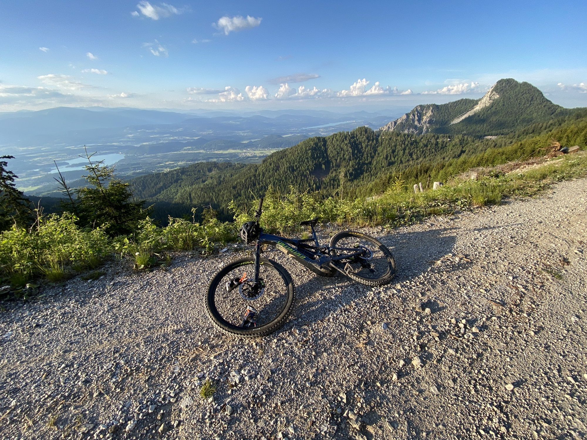
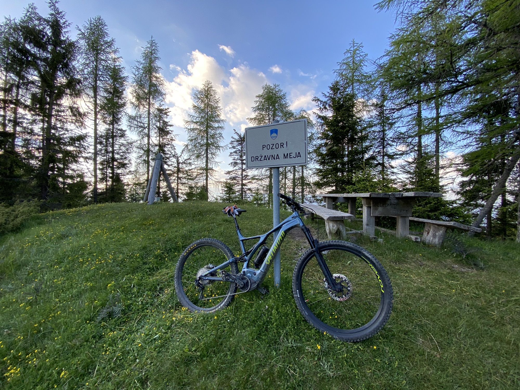
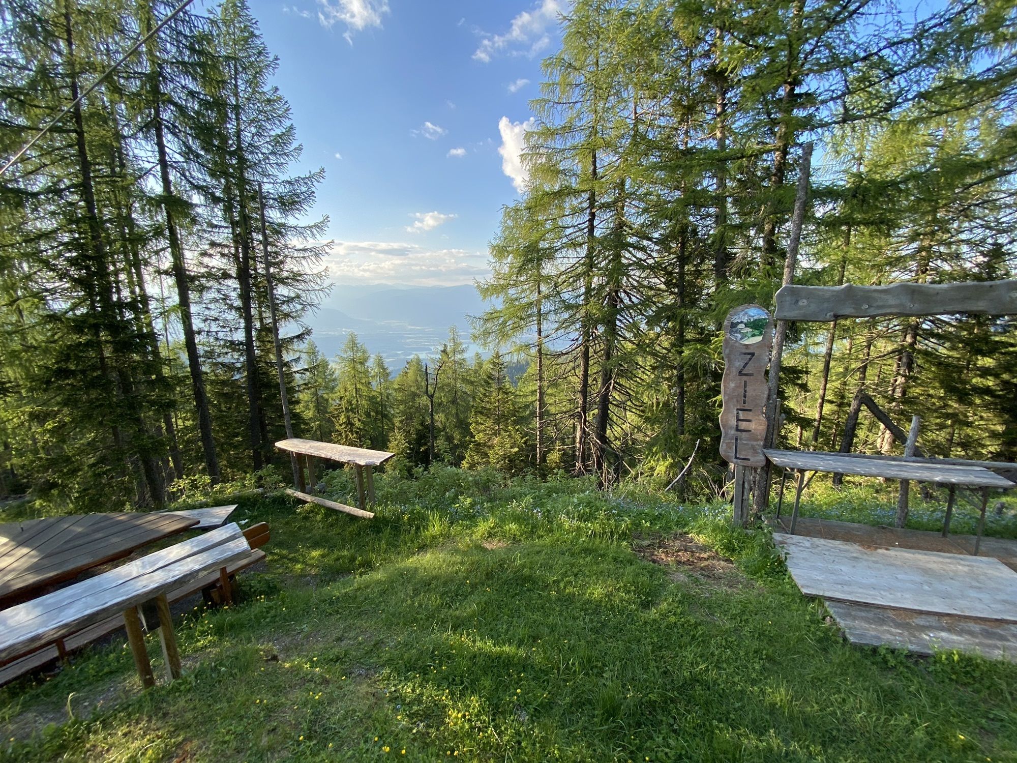
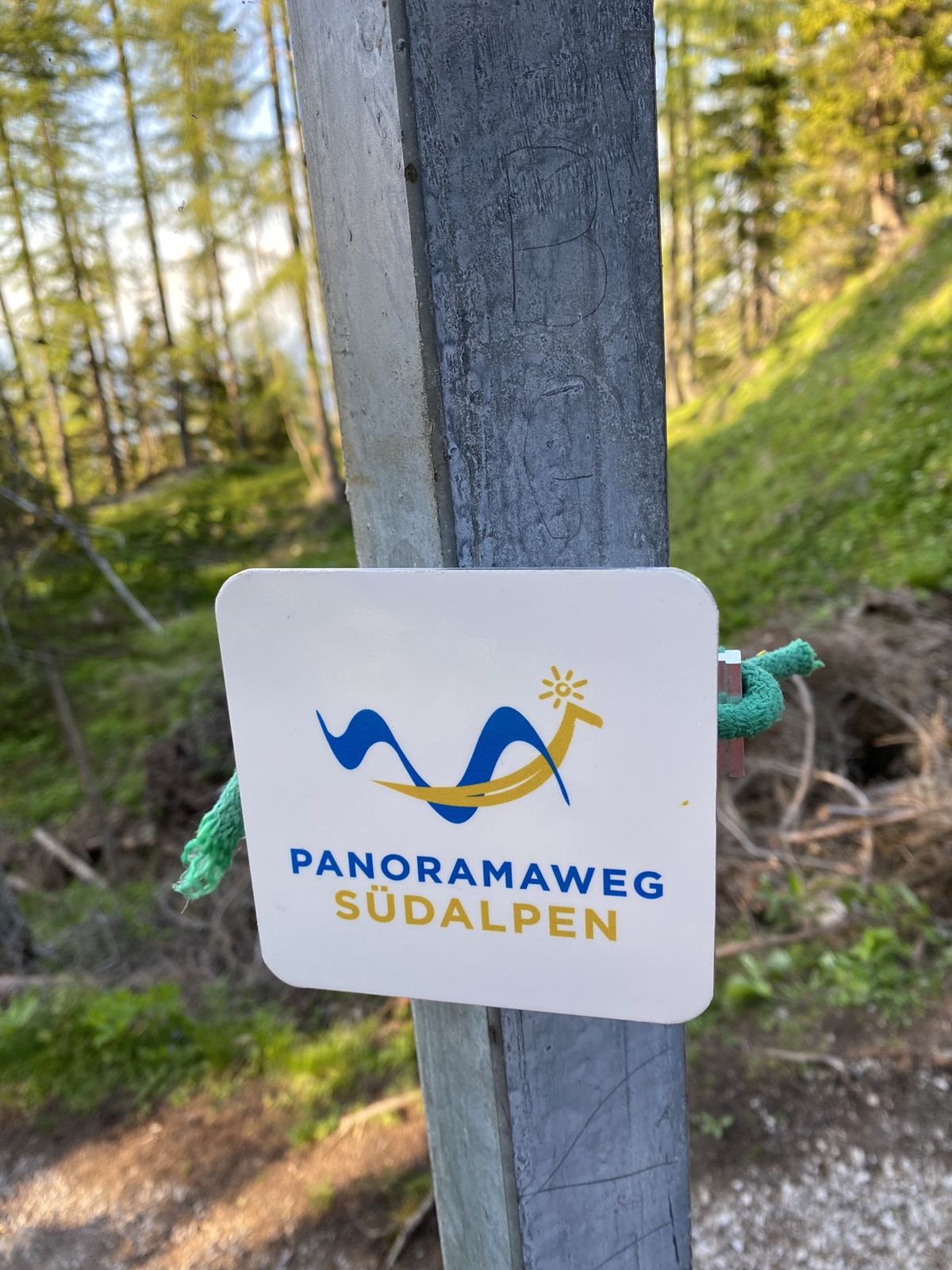
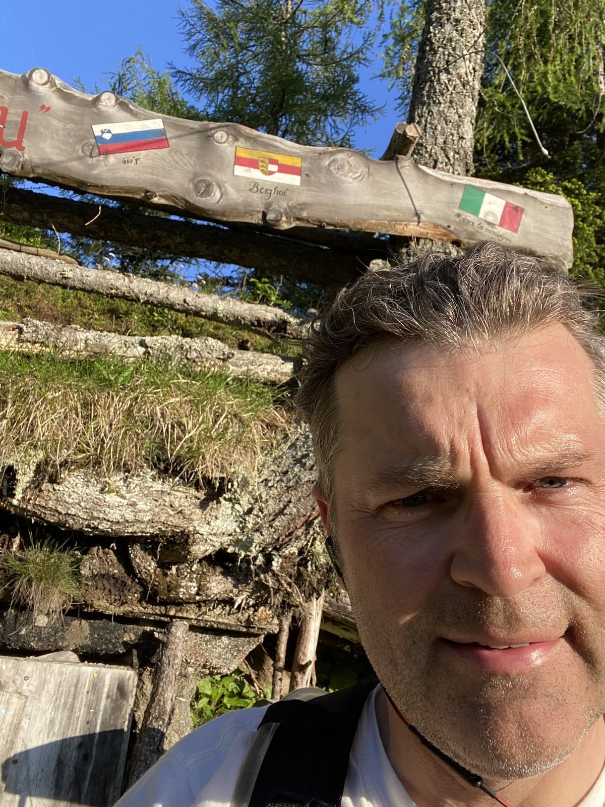
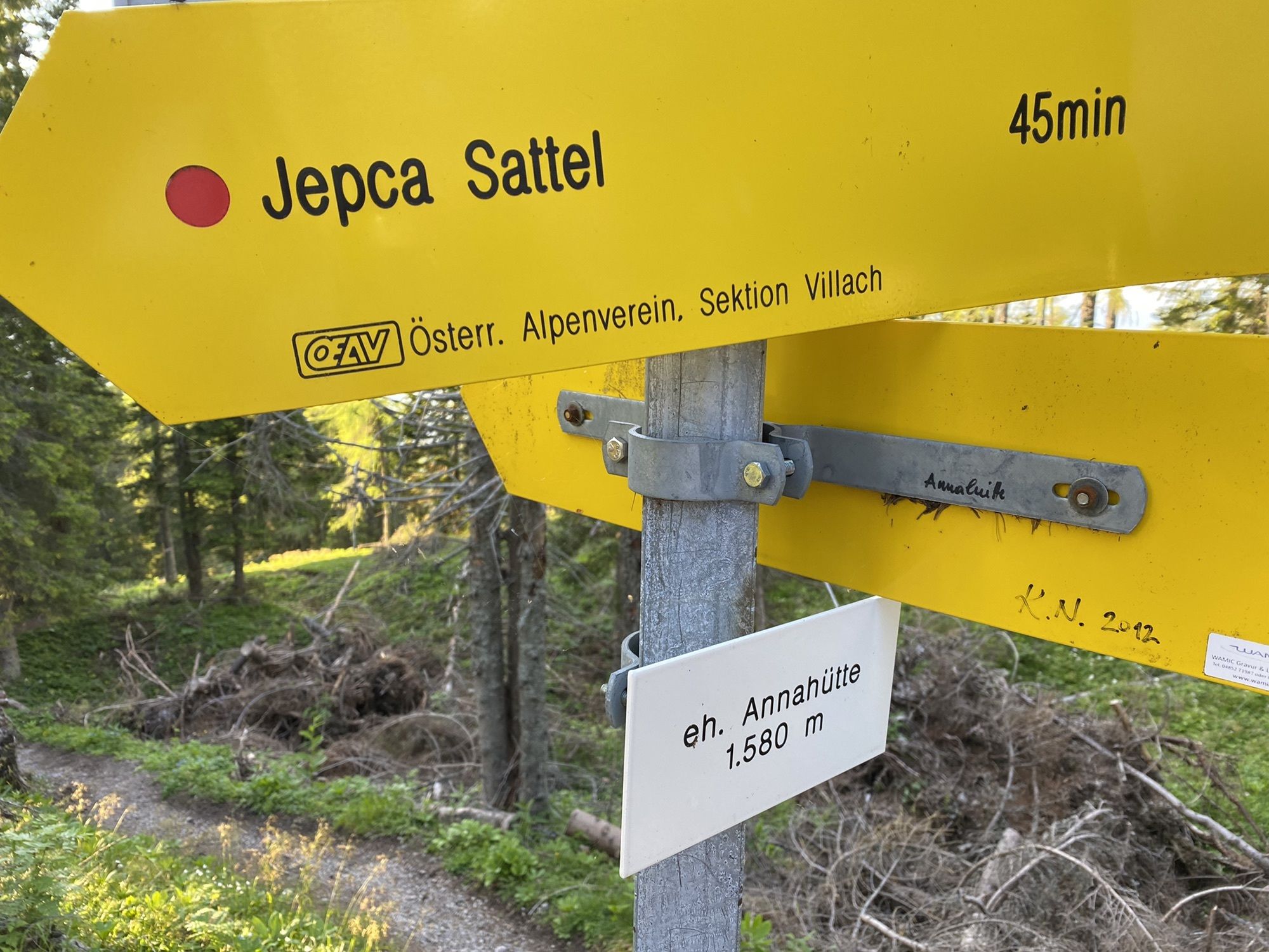
MallenitzenParadies1,6 kmBuschenschenke Ischnighof4,1 kmUntergreuth4,8 kmMartinihof5,0 kmOutschena5,9 kmAnnahüttensattel (1.580 m)17,0 kmOutschena23,4 kmMartinihof24,3 kmUntergreuth24,6 kmBuschenschenke Ischnighof25,3 kmParadies28,0 kmMallenitzen29,8 km
- Beste Jahreszeit
-
sijveljožutrasvilipsrpkolrujlisstupro
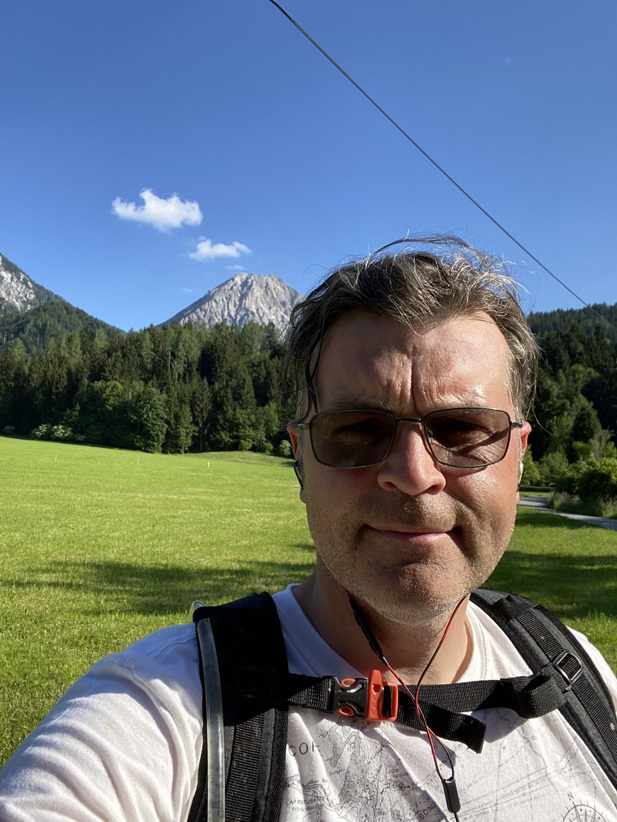
- Höchster Punkt
- 1.595 m


GPS Downloads


Weitere Touren in den Regionen