© Ciclovia Alpe Adria Radweg - caar-salzburg kunden

© Ciclovia Alpe Adria Radweg - caar-salzburg kunden

© Ciclovia Alpe Adria Radweg - caar-salzburg kunden
© Ciclovia Alpe Adria Radweg - caar-salzburg kunden


- Kratak opis
-
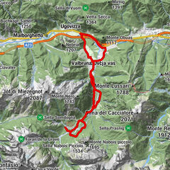
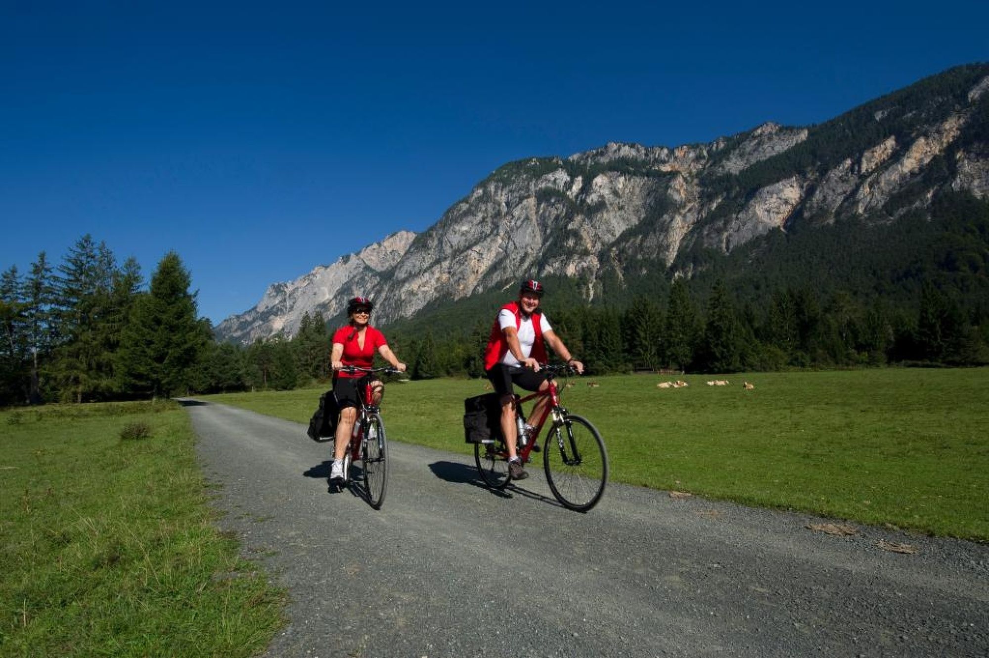
This stage takes us mainly alongside the Gail, on the southern side of the Villacher Alpe, and in parts also through Dobratsch Nature Park. Pedaling through small villages, we gradually approach the Italian border, which we cross at Thörl-Maglern. Following an abandoned railway line, just a few kilometers beyond the border and we come to Tarvisio, our northern starting point for the Val Canale .
- Teškoća
-
lagano
- Vrednovanje
-
- Wegverlauf
-
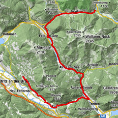
Innere Stadt0,3 kmVillach (501 m)0,6 kmWasenboden1,7 kmMüllnern10,3 kmUnterfederaun12,1 kmUnterschütt15,1 kmRadlertreff Gailstüberl15,7 kmErlendorf16,0 kmRiegersdorf16,9 kmTschau17,1 kmNeuhaus17,2 kmLind18,9 kmPöckau (578 m)19,6 kmPension Bella Italia22,3 kmOristagno (578 m)22,5 kmWallner Alm22,6 kmUnterstossau23,9 kmGreuth24,2 kmMaglern26,5 kmOberthörl27,7 kmGasthof Neuwirth28,0 kmUnterthörl28,3 kmEx Posta30,8 kmUntergoggau31,9 kmGoggau32,5 kmTarvis36,7 km
- Beste Jahreszeit
-
sijveljožutrasvilipsrpkolrujlisstupro
- Höchster Punkt
- 755 m
- Zielpunkt
-
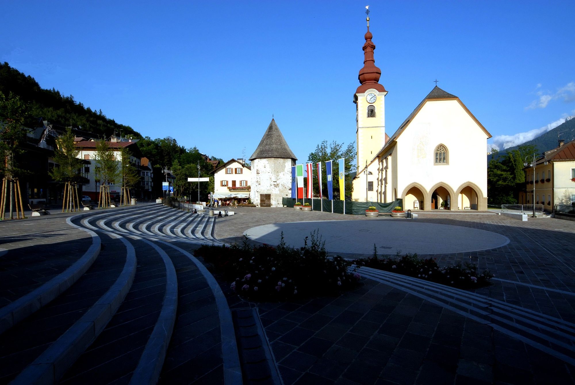
Tarvis
- Höhenprofil
-


- Autor
-
Die Tour Ciclovia Alpe-Adria 5. cycle section: Villach-Tarvisio wird von outdooractive.com bereitgestellt.
GPS Downloads


Opće informacije
Einkehrmöglichkeit
Kulturell/Historisch
Aussichtsreich
Weitere Touren in den Regionen