© www.nassfeld.at - Nassfeld - Pressegger See
© Nassfeld - Pressegger See - Fabio Tabacchi

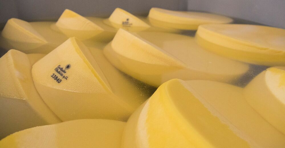
© Slow Food Travel - Nassfeld - Pressegger See

© www.nassfeld.at - Nassfeld - Pressegger See
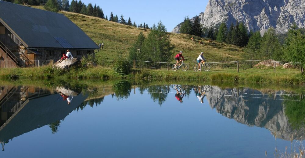
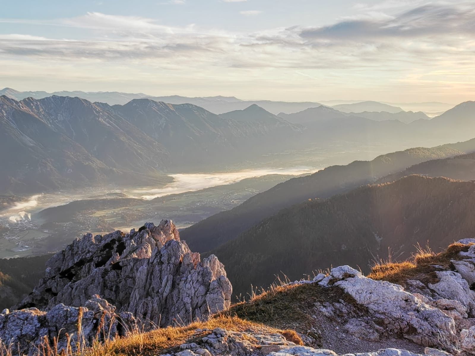
© Nassfeld - Pressegger See - Franz Gerdl

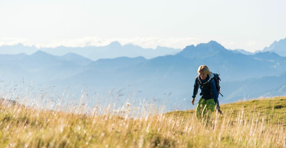
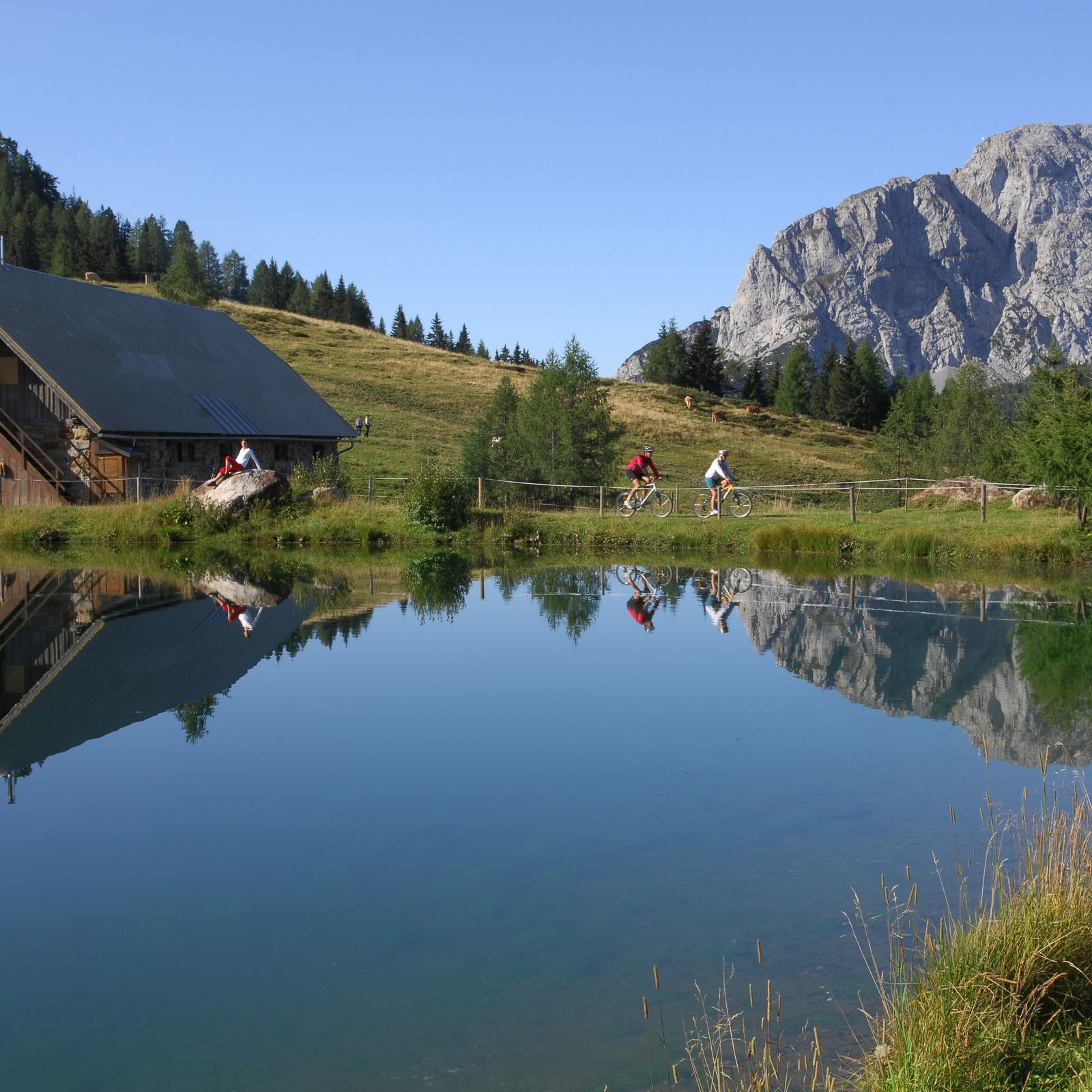
© Nassfeld - Pressegger See - Fabio Tabacchi

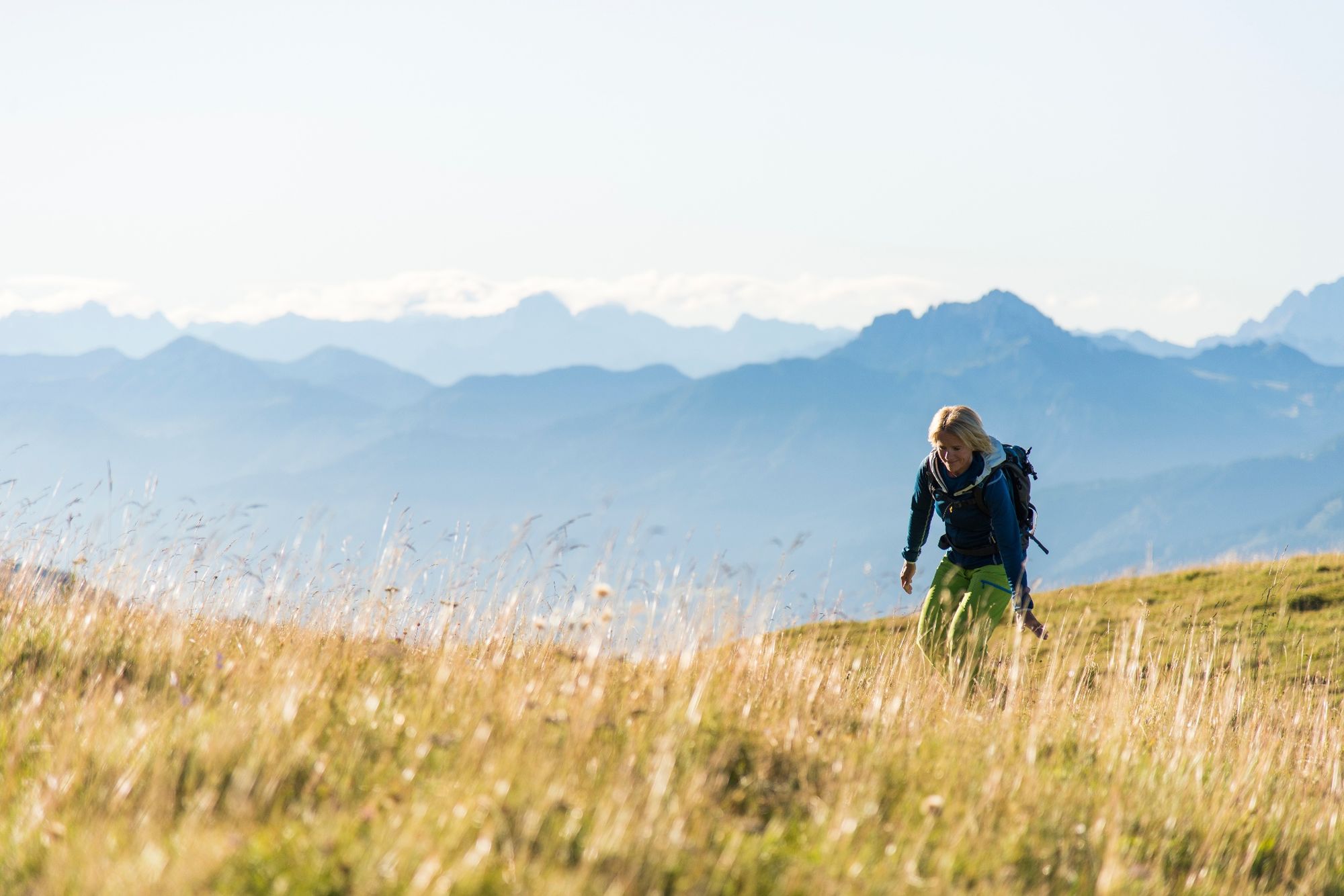
© Nassfeld - Pressegger See - Fabio Tabacchi

- Kratak opis
-
"The Carnic Milky Way" as the best of the Carnic Highway and the Constellation Hikes is "Hiking in New Dimensions".
- Teškoća
-
srednje
- Vrednovanje
-
- Wegverlauf
-
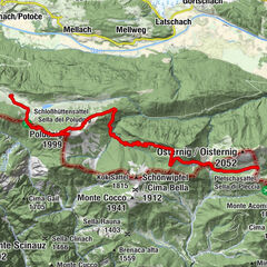
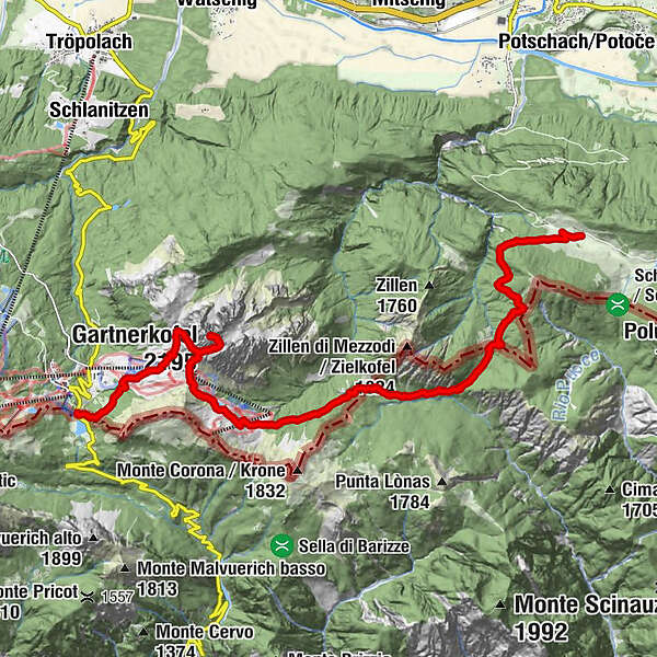
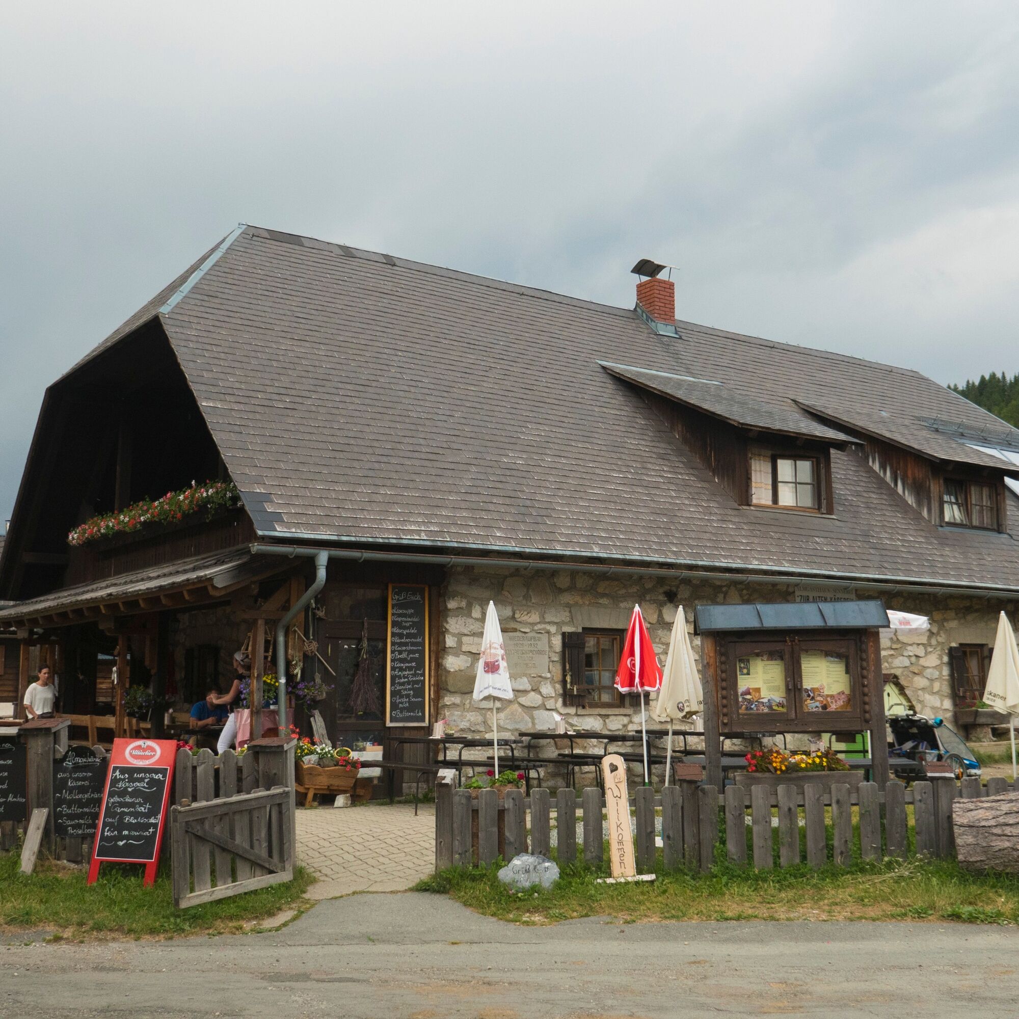
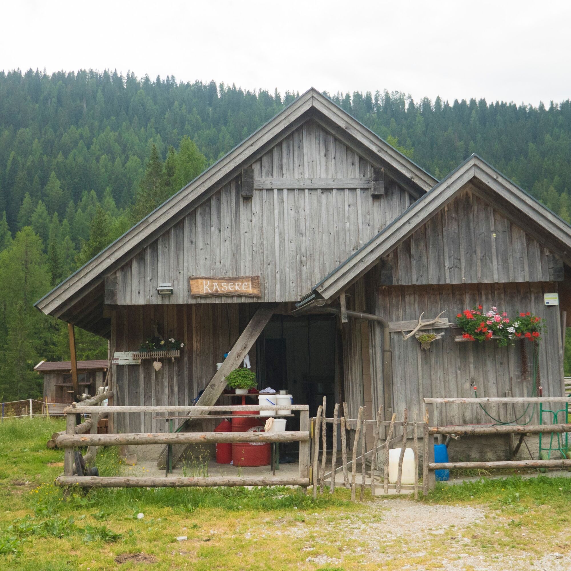
Rudi`s Skihütte0,0 kmEgger Alm0,1 kmAlmgasthaus "Zur Alten Käserei"0,1 kmGarnitzenalm (1.640 m)9,0 kmGartnerkofel (2.195 m)12,0 kmWatschigerAlm14,3 kmPlattner14,6 kmSchwefelquelle15,3 km
- Beste Jahreszeit
-
sijveljožutrasvilipsrpkolrujlisstupro
- Höchster Punkt
- 2.167 m
- Zielpunkt
-
Nassfeldpass
- Höhenprofil
-


- Autor
-
Die Tour Die Karnische Milchstraße - ET02 Egger Alm - Nassfeldpass wird von outdooractive.com bereitgestellt.
GPS Downloads


Opće informacije
Einkehrmöglichkeit
Kulturell/Historisch
Flora
Fauna
Aussichtsreich
Weitere Touren in den Regionen