Die Karnische Milchstraße - ET05 Zollnersee Hütte - Untere Valentinalm

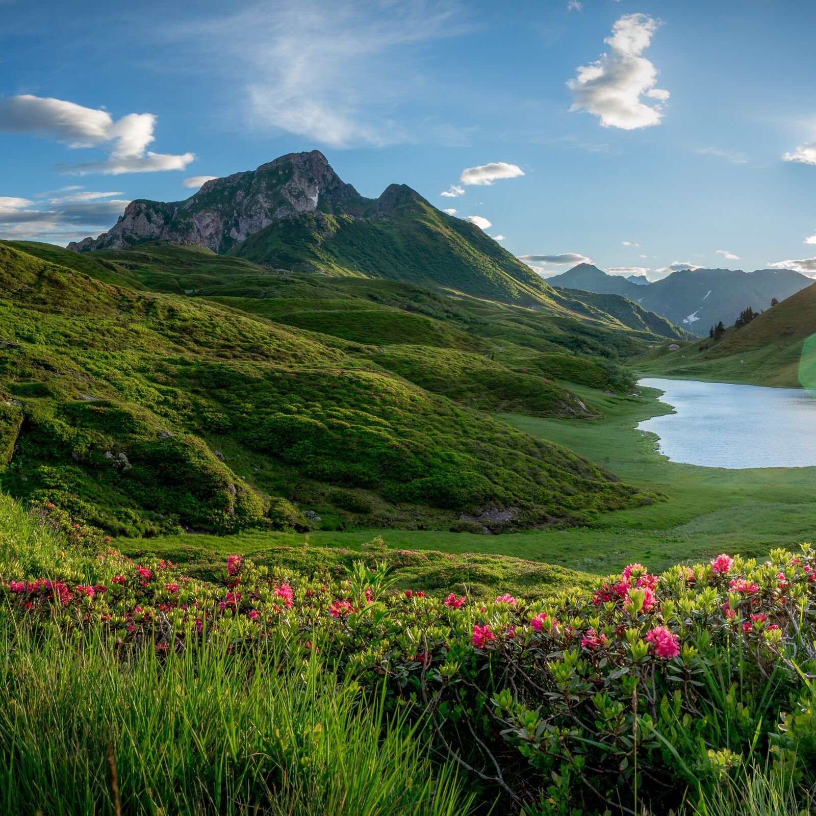
© Nassfeld - Pressegger See - Gerald Köstl
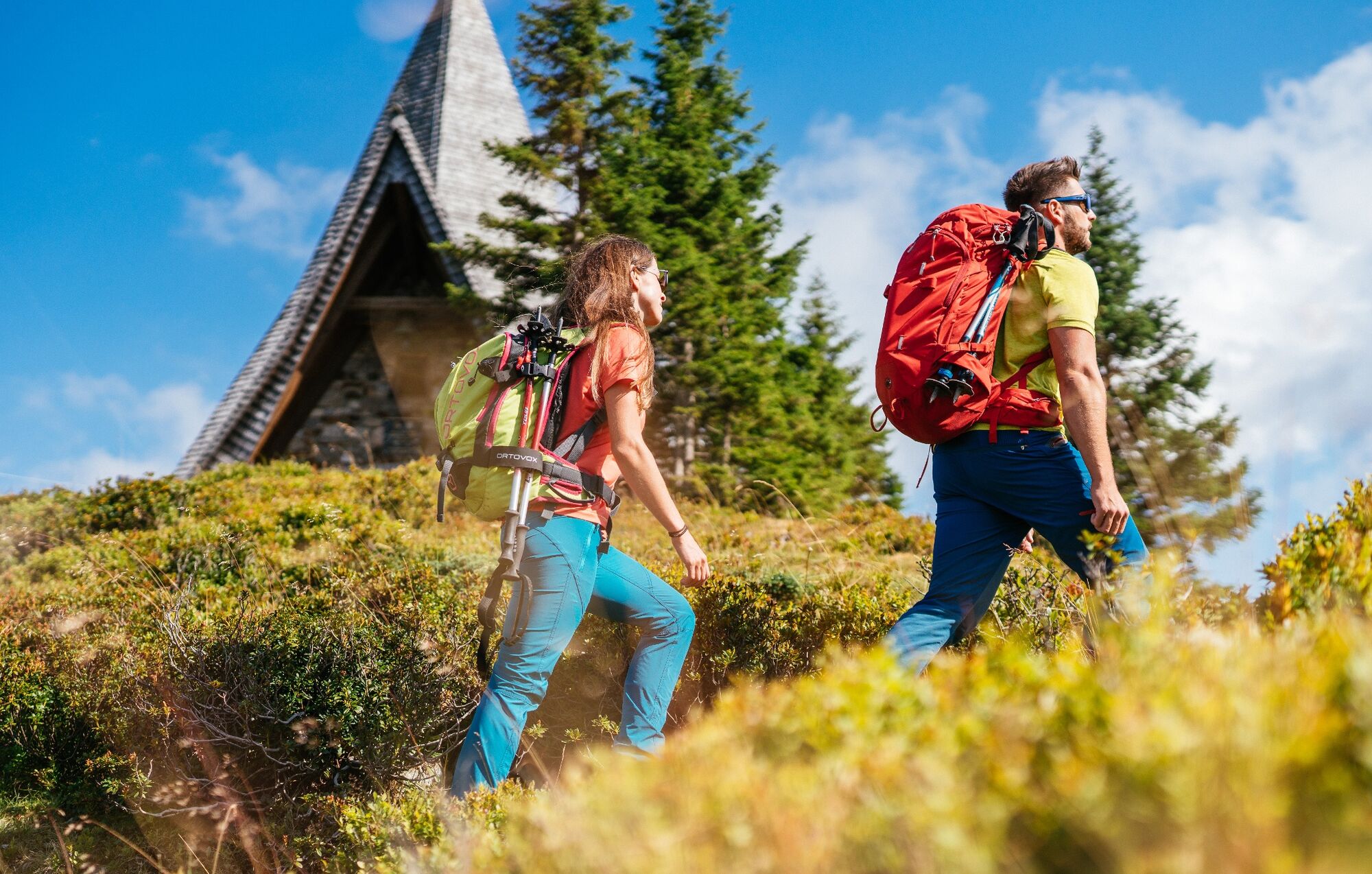
© Nassfeld - Pressegger See - Daniel Gollner
© Nassfeld - Pressegger See - Fabio Tabacchi

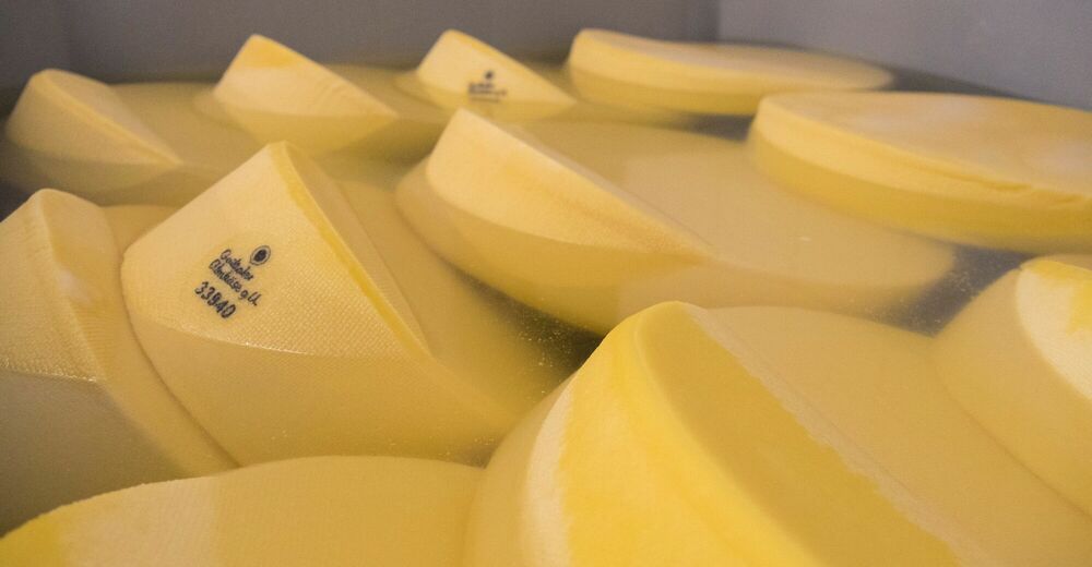
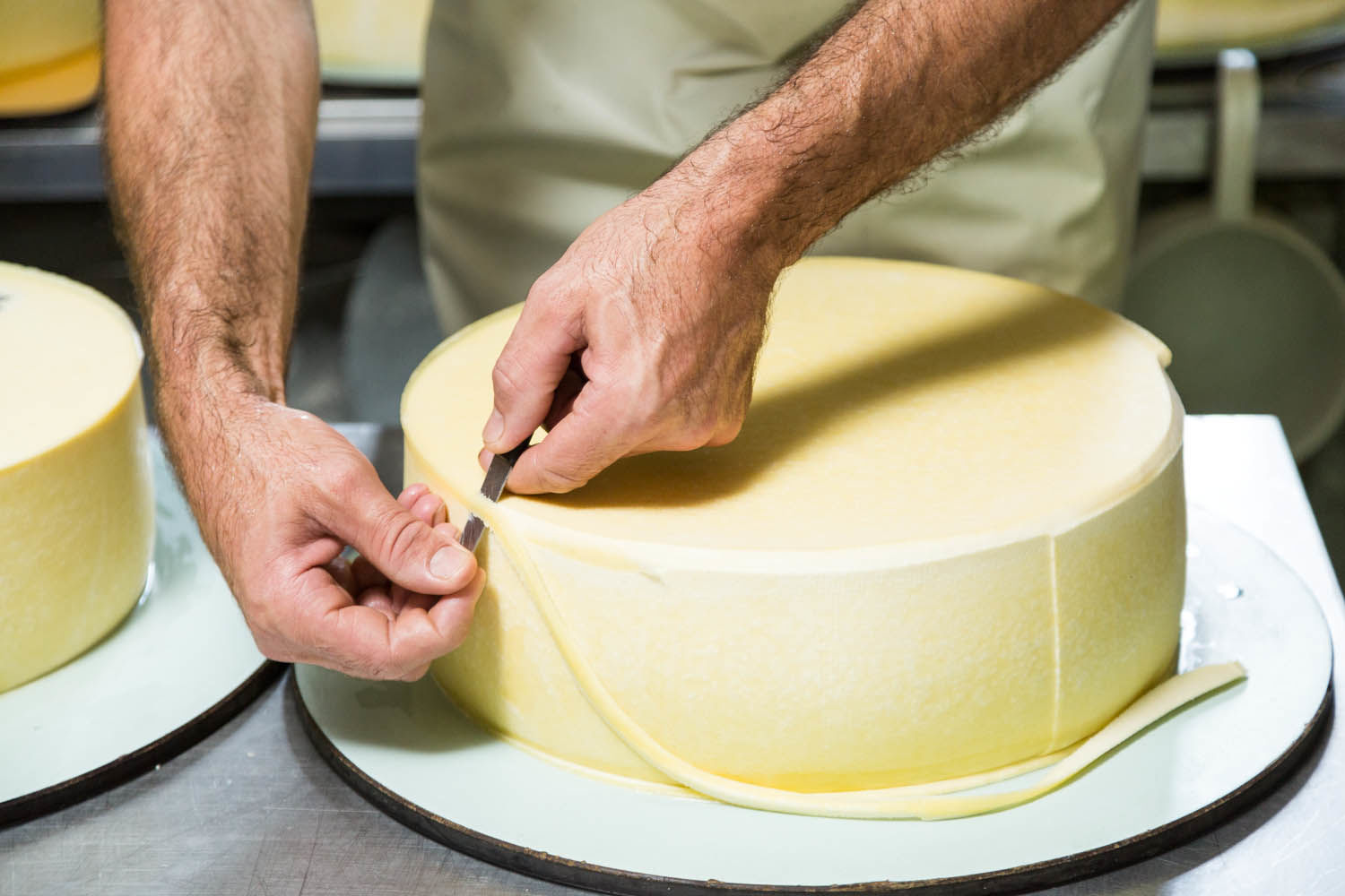
© Slow Food Travel - Nassfeld - Pressegger See

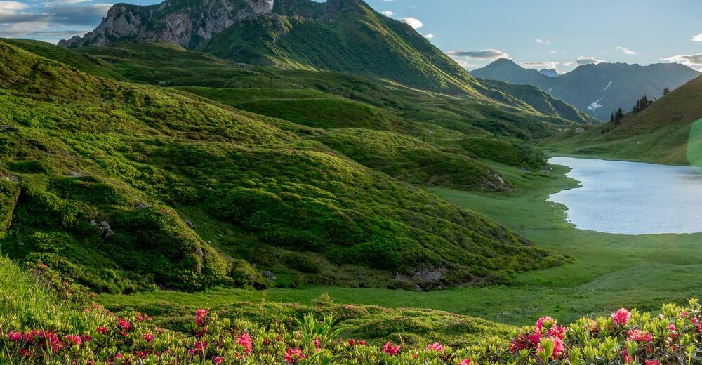
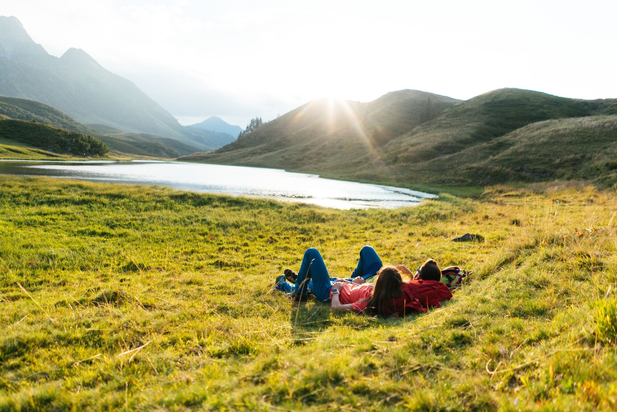
© Nassfeld - Pressegger See - Daniel Gollner

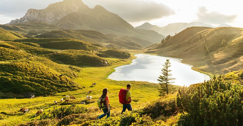
© Nassfeld - Pressegger See - Daniel Gollner


- Kratak opis
-
"The Carnic Milky Way" as the best of the Carnic Highway and the Constellation Hikes is "Hiking in New Dimensions".
- Teškoća
-
srednje
- Vrednovanje
-
- Wegverlauf
-
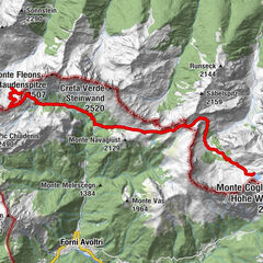
Zollnersee Hütte0,0 kmCasera Promosio Alta7,6 kmCasera Pal Grande di Sopra10,5 kmGasthof Plöckenhaus16,3 kmTheresienhöhe17,2 kmAlmgasthof Valentinalm (1.220 m)18,9 km
- Beste Jahreszeit
-
sijveljožutrasvilipsrpkolrujlisstupro
- Höchster Punkt
- 2.099 m
- Zielpunkt
-
Untere Valentinalm
- Höhenprofil
-


- Autor
-
Die Tour Die Karnische Milchstraße - ET05 Zollnersee Hütte - Untere Valentinalm wird von outdooractive.com bereitgestellt.
GPS Downloads


Opće informacije
Einkehrmöglichkeit
Kulturell/Historisch
Flora
Fauna
Aussichtsreich
Weitere Touren in den Regionen