
- Kratak opis
-
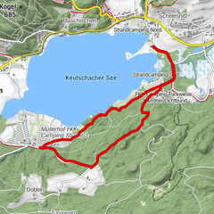
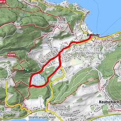
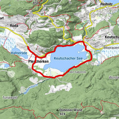
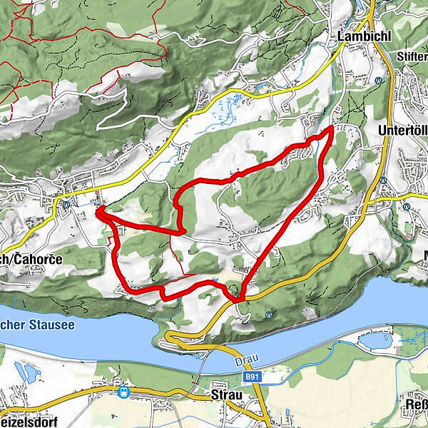
Auf der Karte ist nur eine Route angeführt. Alle Wege starten beim Sportplatz Köttmanndorf und sind ausreichend ausgeschildert.
- Teškoća
-
lagano
- Vrednovanje
-
- Wegverlauf
-
V duәlә0,2 kmKöttmannsdorf (558 m)0,3 kmHl. Gandolf0,5 kmSankt Gandolf0,6 kmPole0,7 kmHurčәca0,9 kmTretram2,7 kmAich3,9 kmTschedram4,8 kmGaisach5,3 kmWegscheide6,4 kmPreliebl8,5 kmNa štuҟә9,0 kmSankt Gandolf9,1 km
- Beste Jahreszeit
-
sijveljožutrasvilipsrpkolrujlisstupro
- Höchster Punkt
- 582 m
- Höhenprofil
-

-

-
AutorDie Tour Lauf- und Walkingpark Köttmannsdorf wird von outdooractive.com bereitgestellt.
GPS Downloads


Weitere Touren in den Regionen