
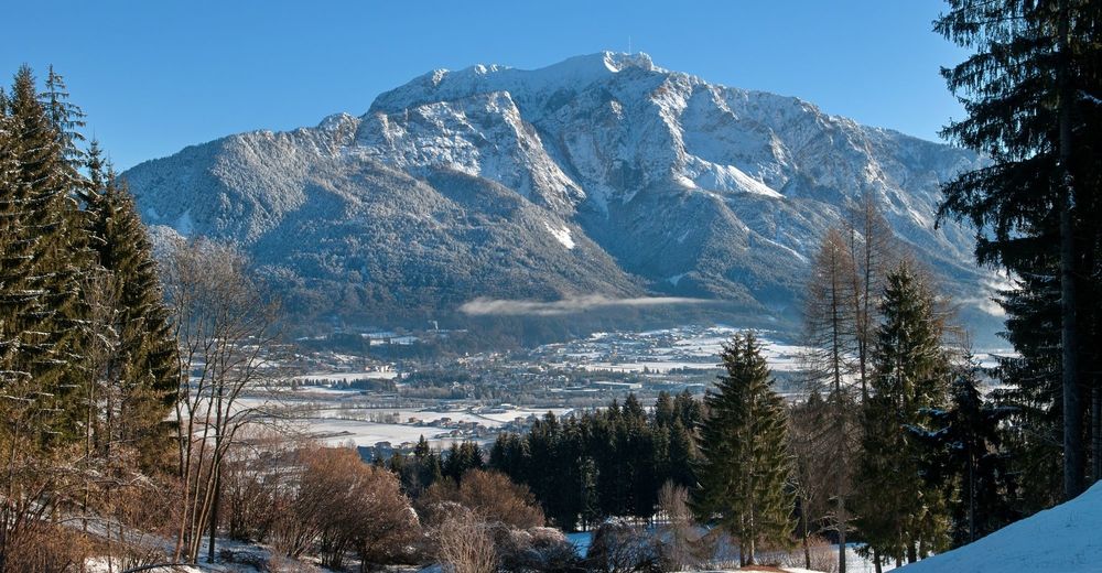
© Region Villach - Faaker See - Ossiacher See - Martin Hofmann
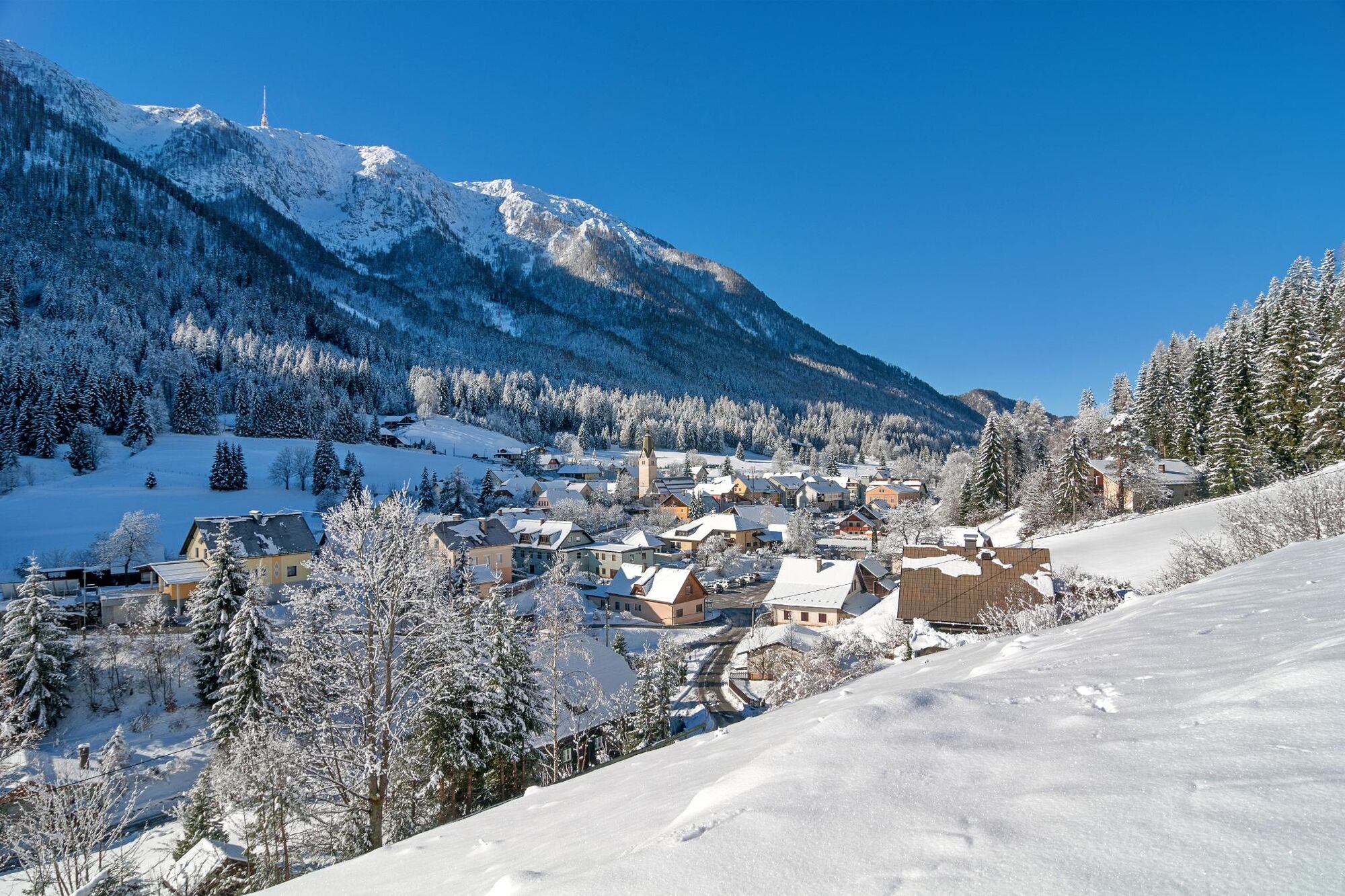
© Region Villach - Faaker See - Ossiacher See - Region Villach
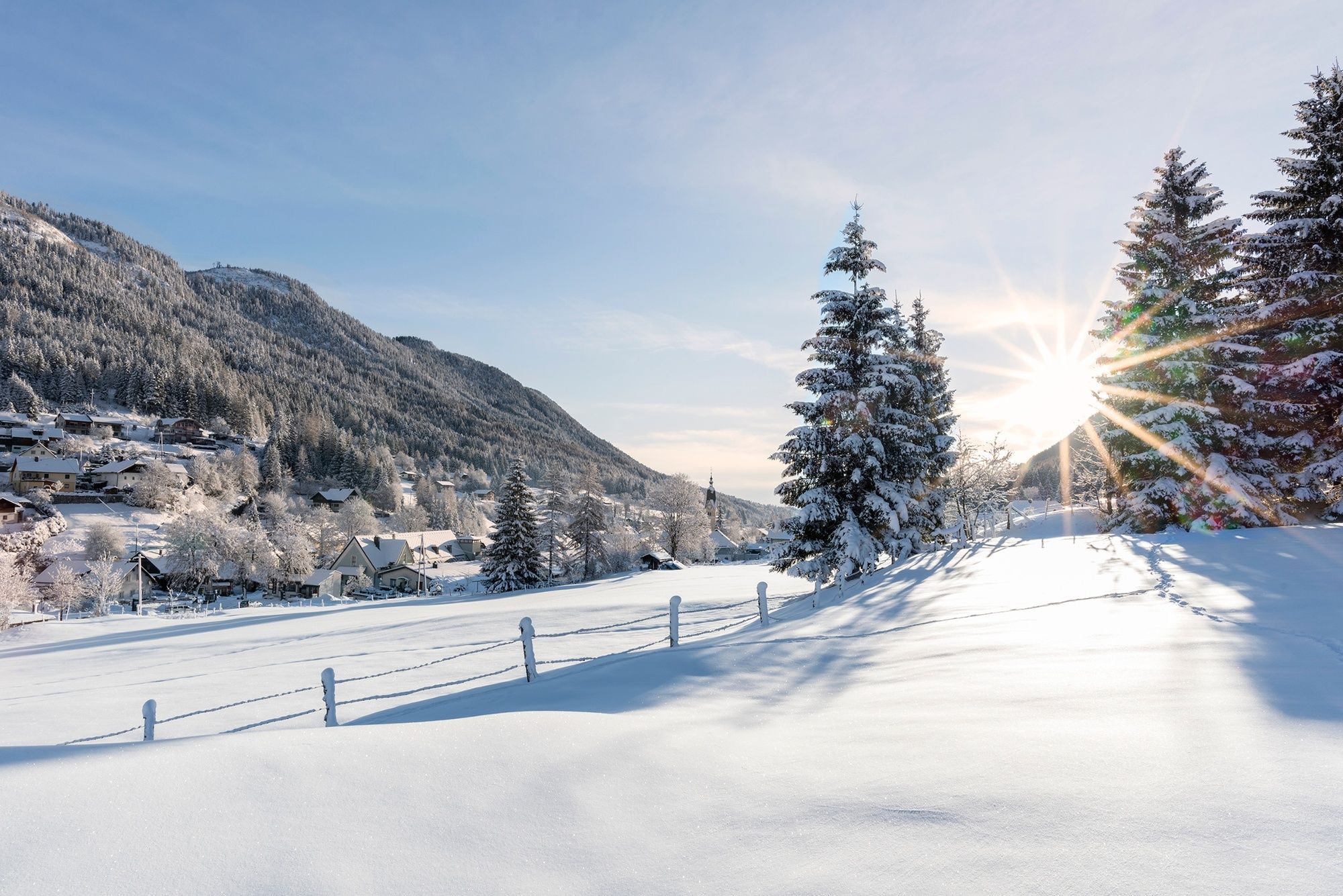
© Region Villach - Faaker See - Ossiacher See - Region Villach
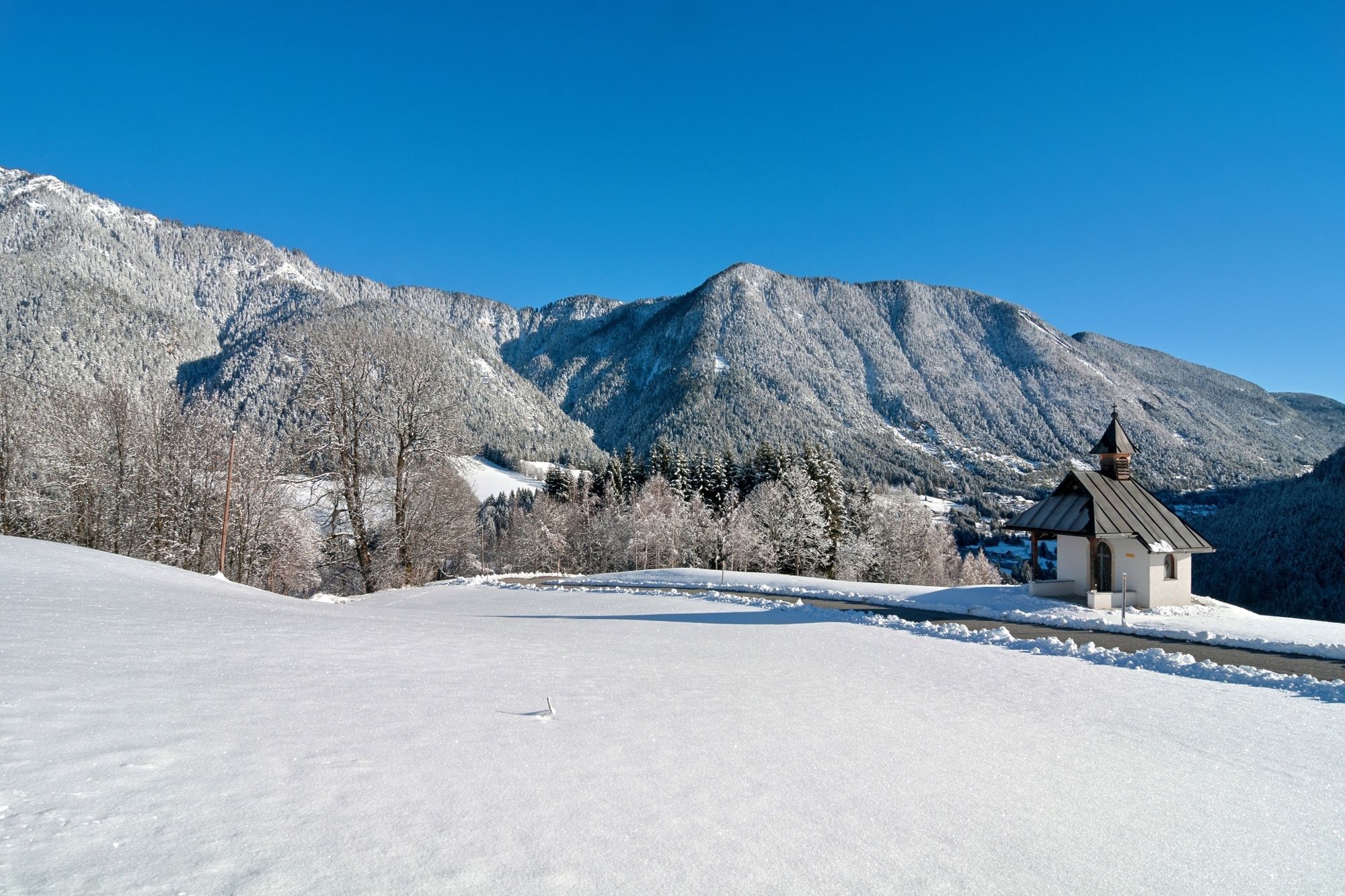
© Region Villach - Faaker See - Ossiacher See - Region Villach
© Region Villach - Faaker See - Ossiacher See - Region Villach


- Kratak opis
-
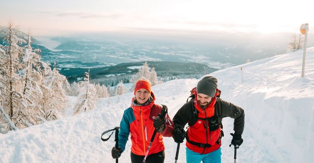
Intermediate shnowshoe tour.
- Teškoća
-
srednje
- Vrednovanje
-
- Wegverlauf
-
Hüttendorf5,2 kmBad Bleiberg (902 m)5,9 km
- Beste Jahreszeit
-
kolrujlisstuprosijveljožutrasvilipsrp
- Höchster Punkt
- 1.125 m
- Zielpunkt
-
Tourist information office Bad Bleiberg
- Höhenprofil
-


- Autor
-
Die Tour Markusstollen wird von outdooractive.com bereitgestellt.
GPS Downloads


Opće informacije
Aussichtsreich
Weitere Touren in den Regionen