© Hohe Tauern - die Nationalpark-Region in Kärnten Tourismus GmbH - Nationalpark Region Hohe Tauern Kärnten

© Hohe Tauern - die Nationalpark-Region in Kärnten Tourismus GmbH - Nationalpark Region Hohe Tauern Kärnten


Podaci o ruti
11km
1.264
- 2.970m
726hm
1.842hm
03:00h

- Kratak opis
-
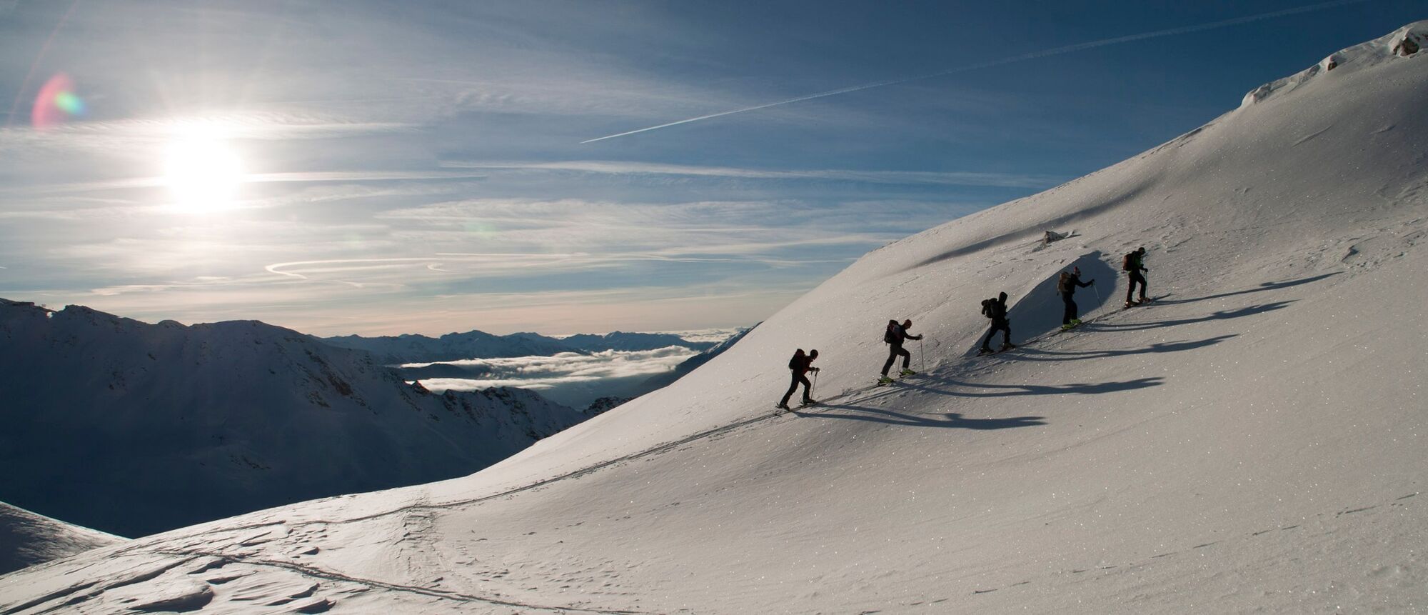
Ein durch Gondelbahn erleichterter 3.000er.
- Teškoća
-
srednje
- Vrednovanje
-
- Wegverlauf
-
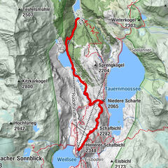
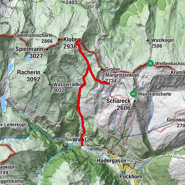
Brennkogel (3.018 m)3,5 kmWinkl10,6 km
- Beste Jahreszeit
-
kolrujlisstuprosijveljožutrasvilipsrp
- Höchster Punkt
- 2.970 m
- Exposition
- Höhenprofil
-


- Autor
-
Die Tour Brennkogel wird von outdooractive.com bereitgestellt.
GPS Downloads


Opće informacije
Einkehrmöglichkeit
Aussichtsreich
Weitere Touren in den Regionen