© Region Villach - Faaker See - Ossiacher See - Marc Horbal
© Region Villach - Faaker See - Ossiacher See - Hubert Baumgartner

© Region Villach - Faaker See - Ossiacher See - Martin Hofmann

© Region Villach - Faaker See - Ossiacher See - Marc Horbal
© Region Villach - Faaker See - Ossiacher See - Hubert Baumgartner

© Region Villach - Faaker See - Ossiacher See - Marc Horbal

© Region Villach - Faaker See - Ossiacher See - Marc Horbal

© Region Villach - Faaker See - Ossiacher See - Marc Horbal

© Region Villach - Faaker See - Ossiacher See - Marc Horbal

- Kratak opis
-
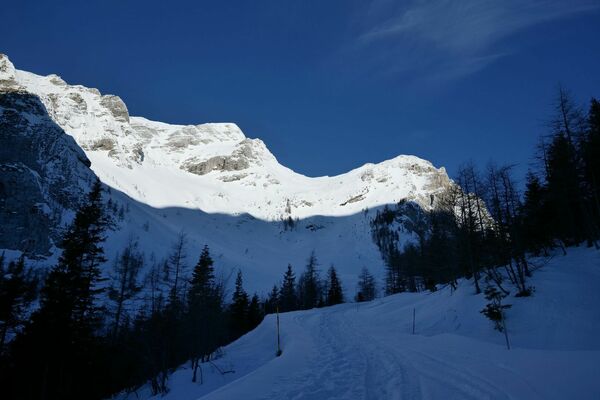
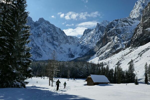
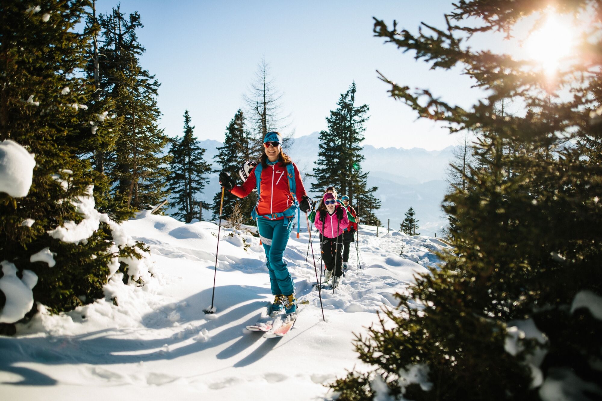
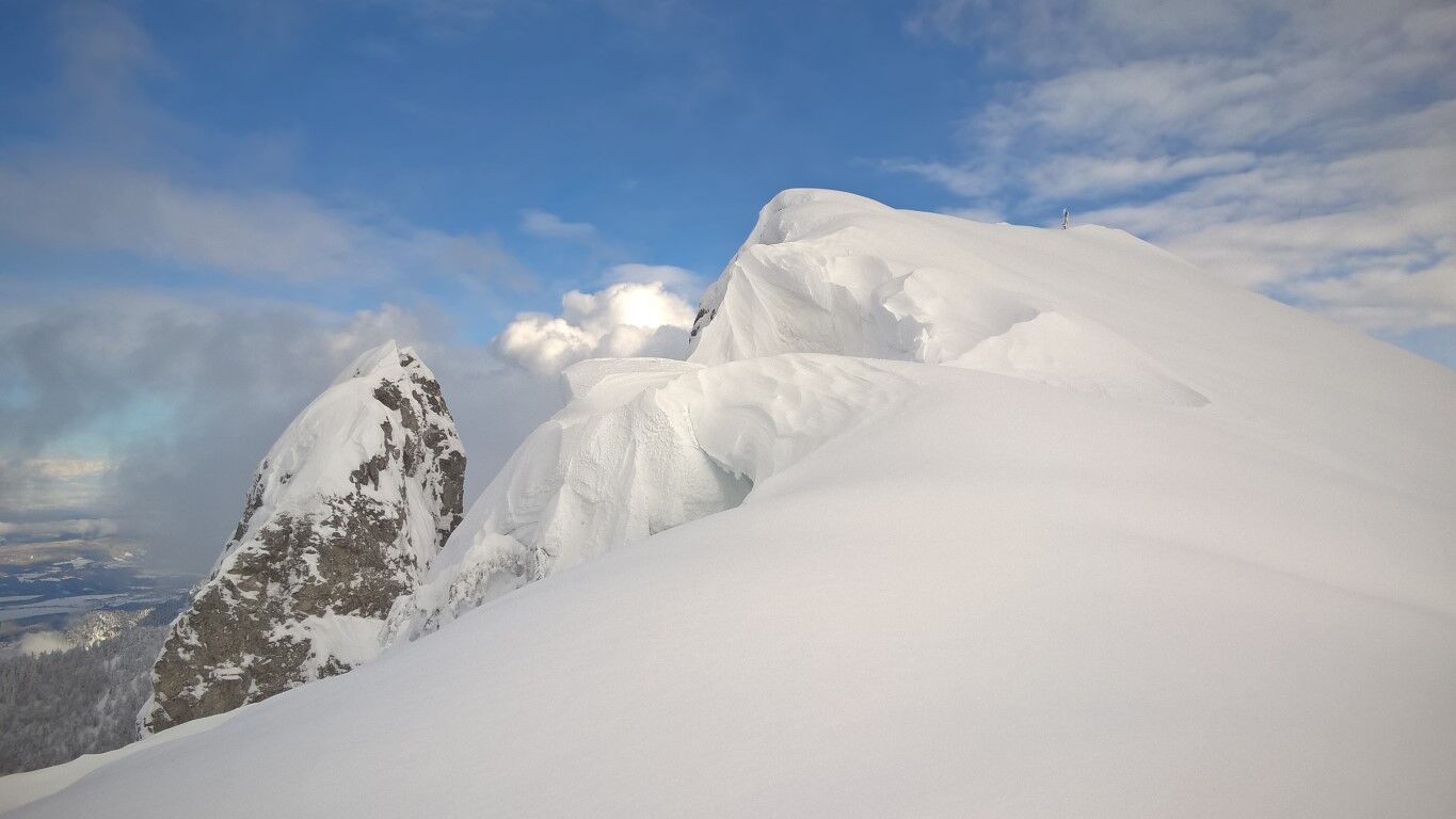
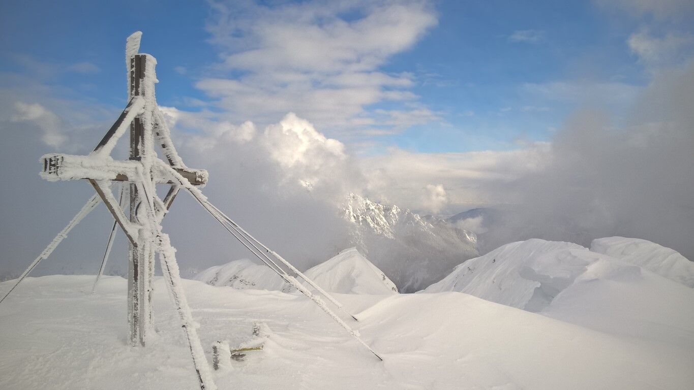
Border-crossing ski or snowshoe tour!
- Teškoća
-
srednje
- Vrednovanje
-
- Wegverlauf
-
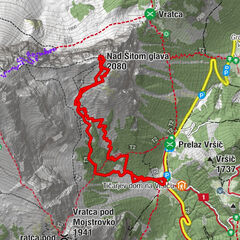
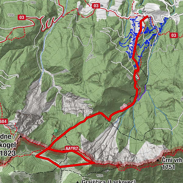
Rotschitzawasserfall1,2 kmSchwarzkogel (1.839 m)3,6 kmRotschitzawasserfall6,7 km
- Beste Jahreszeit
-
kolrujlisstuprosijveljožutrasvilipsrp
- Höchster Punkt
- 1.802 m
- Zielpunkt
-
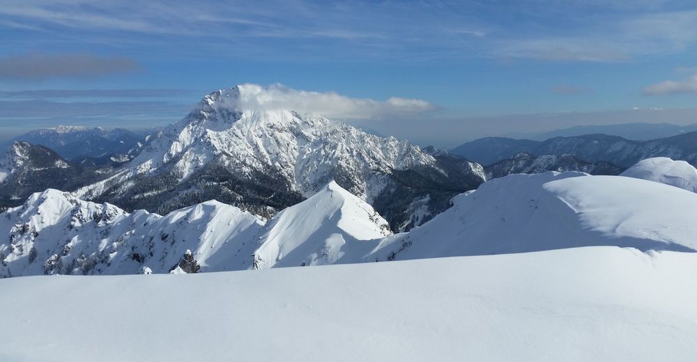
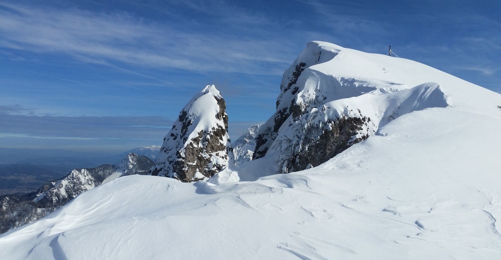
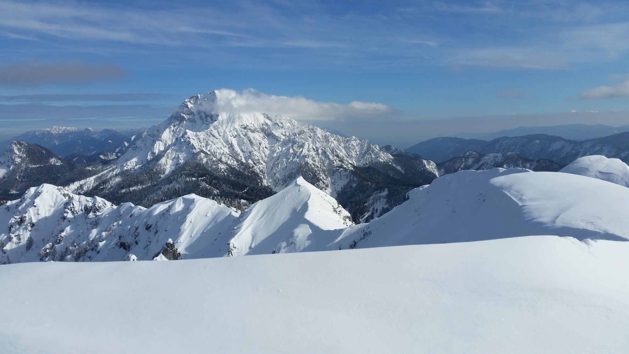
Schwarzkogel and Murnovc
- Exposition
- Höhenprofil
-


- Autor
-
Die Tour Schwarzkogel und Murnovec wird von outdooractive.com bereitgestellt.
GPS Downloads


Opće informacije
Aussichtsreich
Weitere Touren in den Regionen