© Region Villach - Faaker See - Ossiacher See - Region Villach
© Region Villach - Faaker See - Ossiacher See - Region Villach

© Region Villach - Faaker See - Ossiacher See - Region Villach


- Kratak opis
-
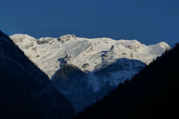
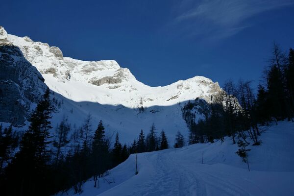
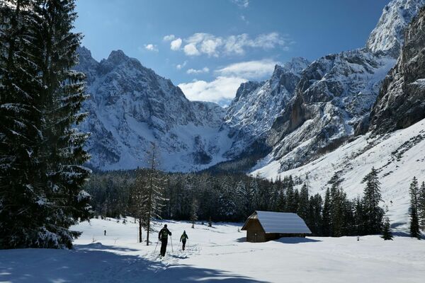
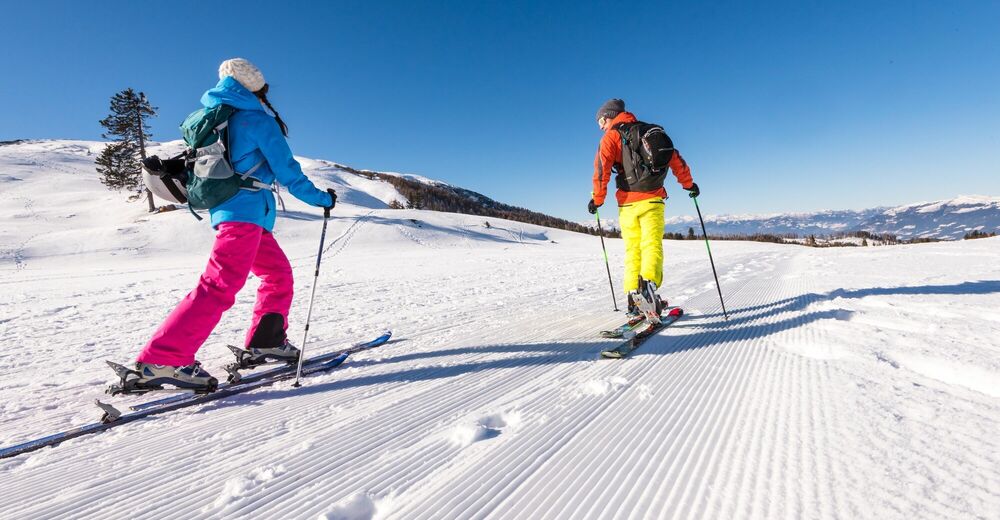
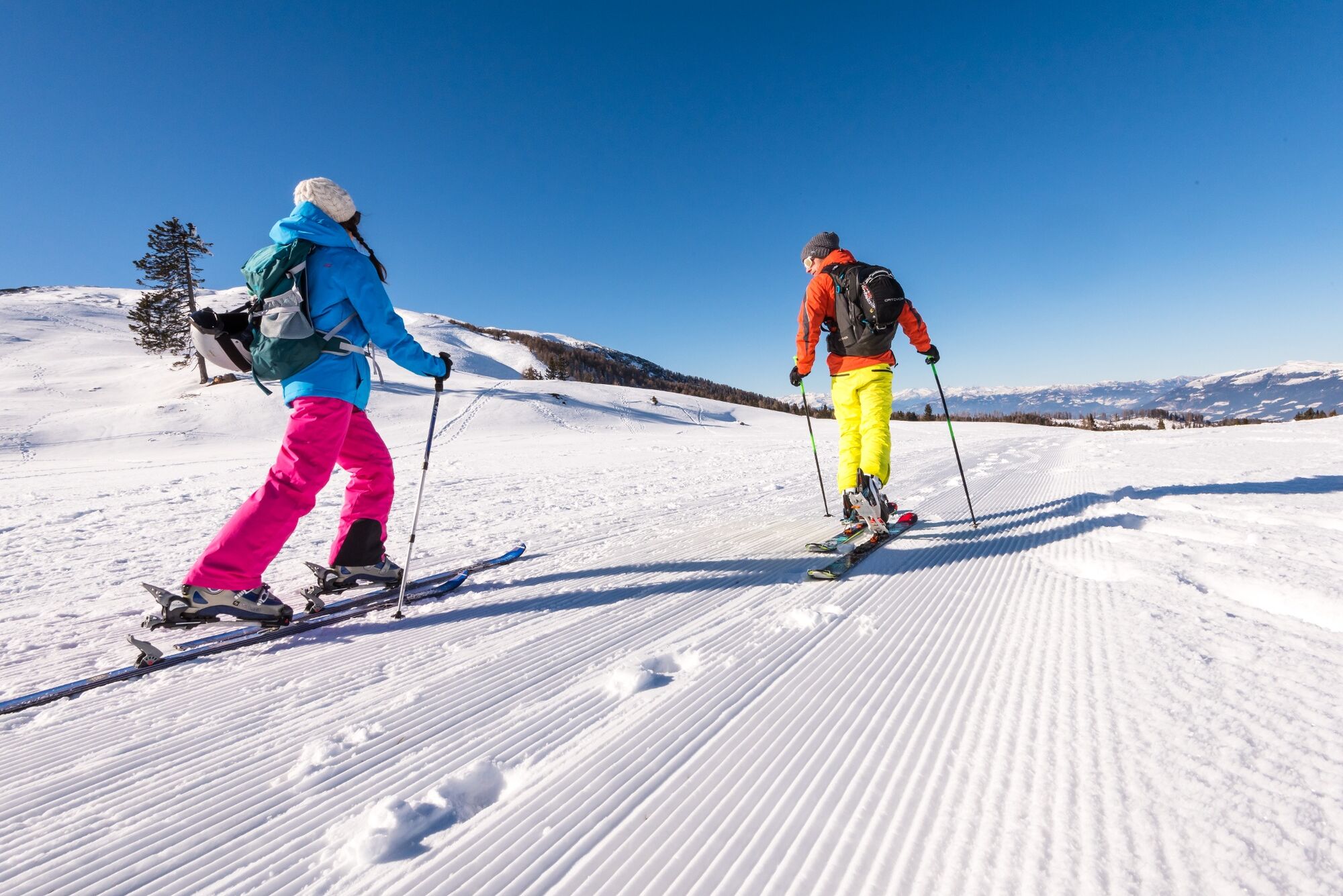
Difficult and alpine ski tour to the Mittagskogel.
- Teškoća
-
teška
- Vrednovanje
-
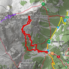
- Wegverlauf
-
Bertahütte2,0 kmMittagskogel (2.145 m)4,4 km
- Beste Jahreszeit
-
kolrujlisstuprosijveljožutrasvilipsrp
- Höchster Punkt
- 2.124 m
- Zielpunkt
-
Mittagskogel
- Exposition
- Höhenprofil
-


- Autor
-
Die Tour Mittagskogel - Touring Ski wird von outdooractive.com bereitgestellt.
GPS Downloads


Opće informacije
Aussichtsreich
Weitere Touren in den Regionen