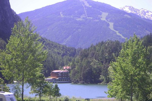
© TVB Lesachtal - Franz GERDL / TVB Lesachtal

- Kratak opis
-
Leichte Wanderung mit toller Aussichtung und Einkehrmöglichkeiten
- Teškoća
-
lagano
- Vrednovanje
-
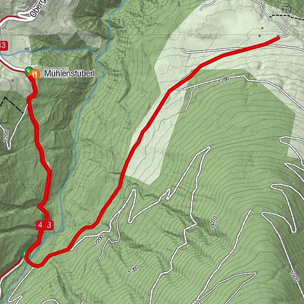
- Wegverlauf
-
Mühlenstüberl0,0 km
- Beste Jahreszeit
-
sijveljožutrasvilipsrpkolrujlisstupro
- Höchster Punkt
- 1.189 m
- Zielpunkt
-
Obergail
- Höhenprofil
-


- Autor
-
Die Tour Obergail - Steineckenalm wird von outdooractive.com bereitgestellt.
GPS Downloads


Opće informacije
Einkehrmöglichkeit
Kulturell/Historisch
Geheimtipp
Aussichtsreich
Weitere Touren in den Regionen