

© Region Villach - Faaker See - Ossiacher See - Region Villach

© Region Villach - Faaker See - Ossiacher See - Region Villach

© Region Villach - Faaker See - Ossiacher See - Marc Horbal

© Region Villach - Faaker See - Ossiacher See - Region Villach


- Kratak opis
-
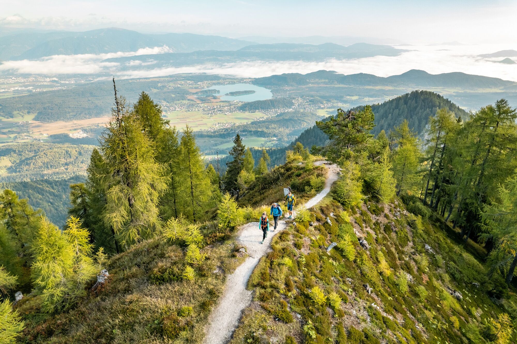
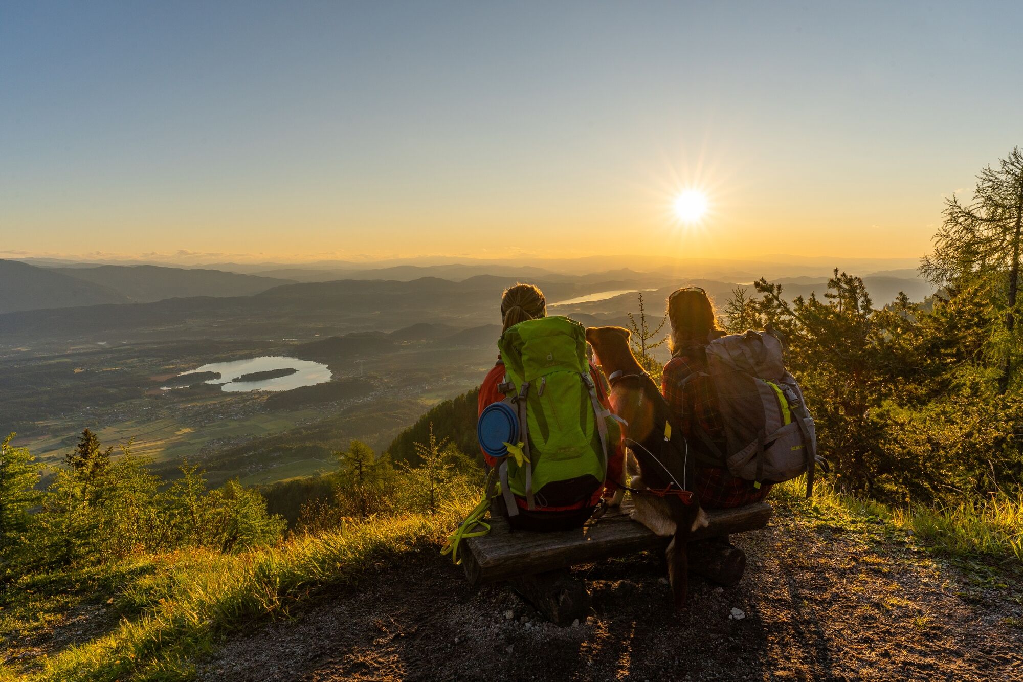
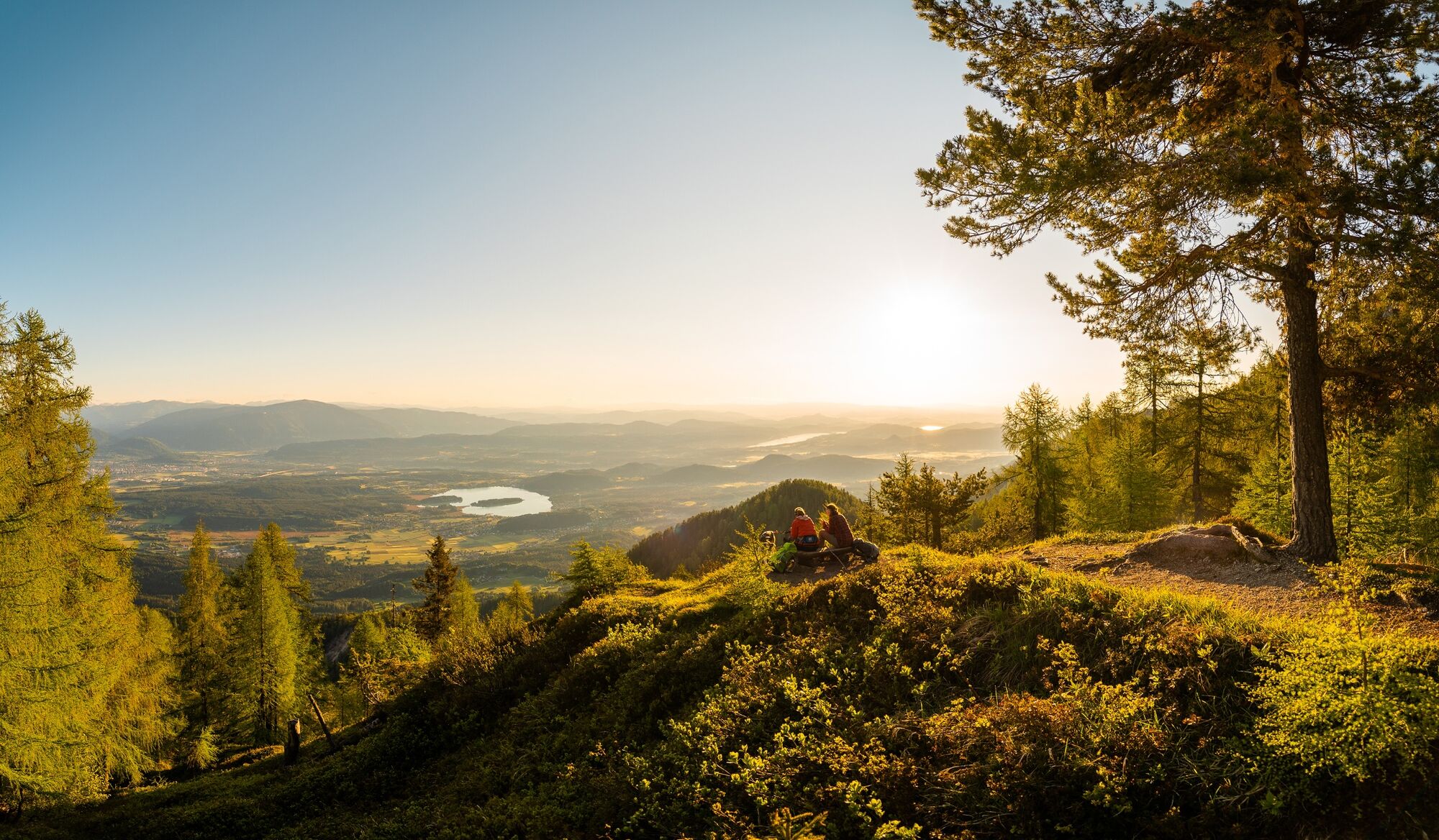
A historically interesting mountain tour up to a peak with great views, directly on the border.
- Teškoća
-
srednje
- Vrednovanje
-
- Wegverlauf
-
Rotschitzawasserfall1,2 kmRotschitzawasserfall6,9 km
- Beste Jahreszeit
-
sijveljožutrasvilipsrpkolrujlisstupro
- Höchster Punkt
- 1.813 m
- Zielpunkt
-
Mallestiger Mittagskogel
- Höhenprofil
-


- Autor
-
Die Tour Mallestiger Mittagskogel wird von outdooractive.com bereitgestellt.
GPS Downloads


Opće informacije
Einkehrmöglichkeit
Kulturell/Historisch
Flora
Aussichtsreich
Weitere Touren in den Regionen


