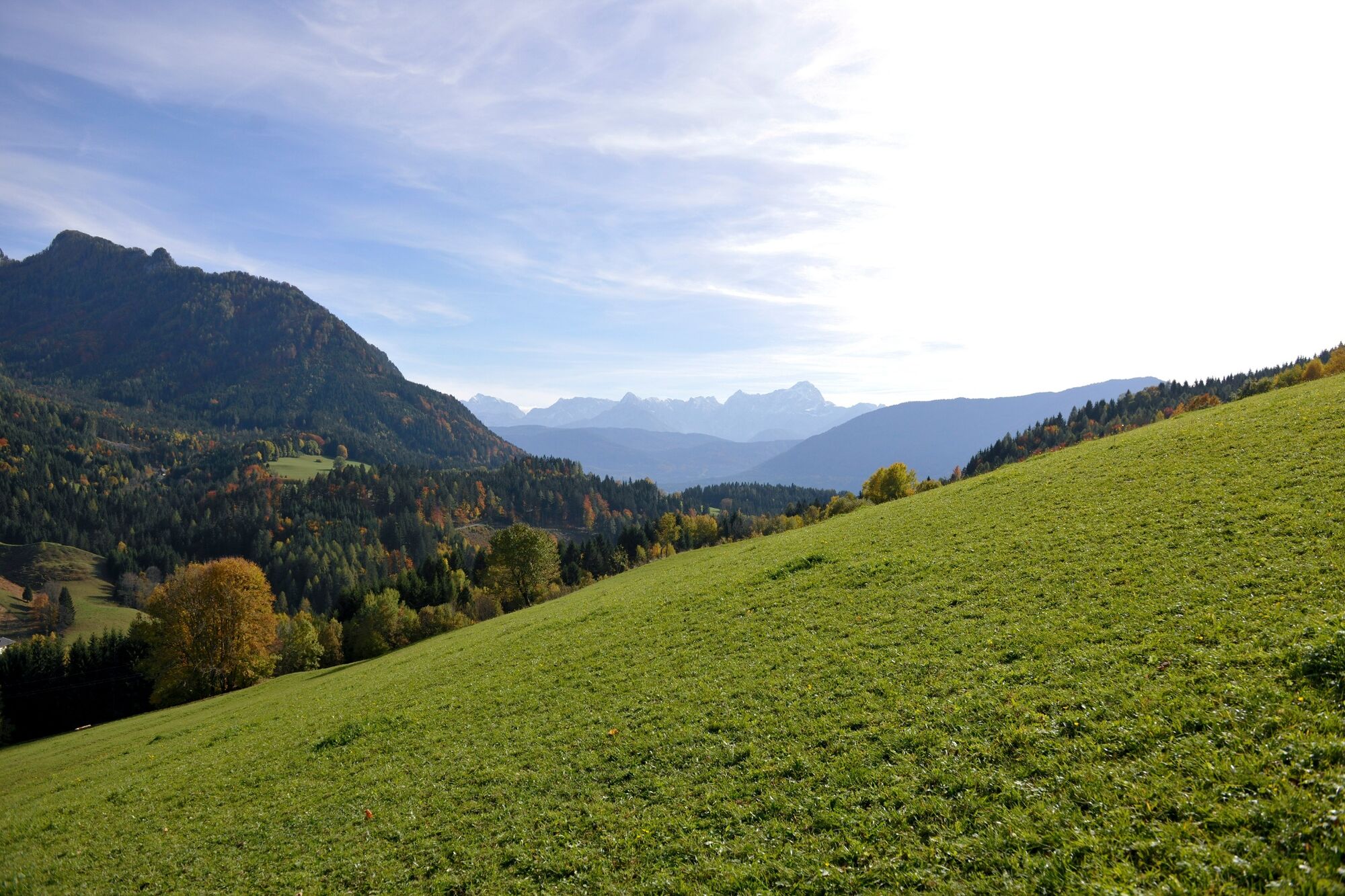
© Region Villach - Faaker See - Ossiacher See - foto-kohlmeier

© Region Villach - Faaker See - Ossiacher See - foto-kohlmeier
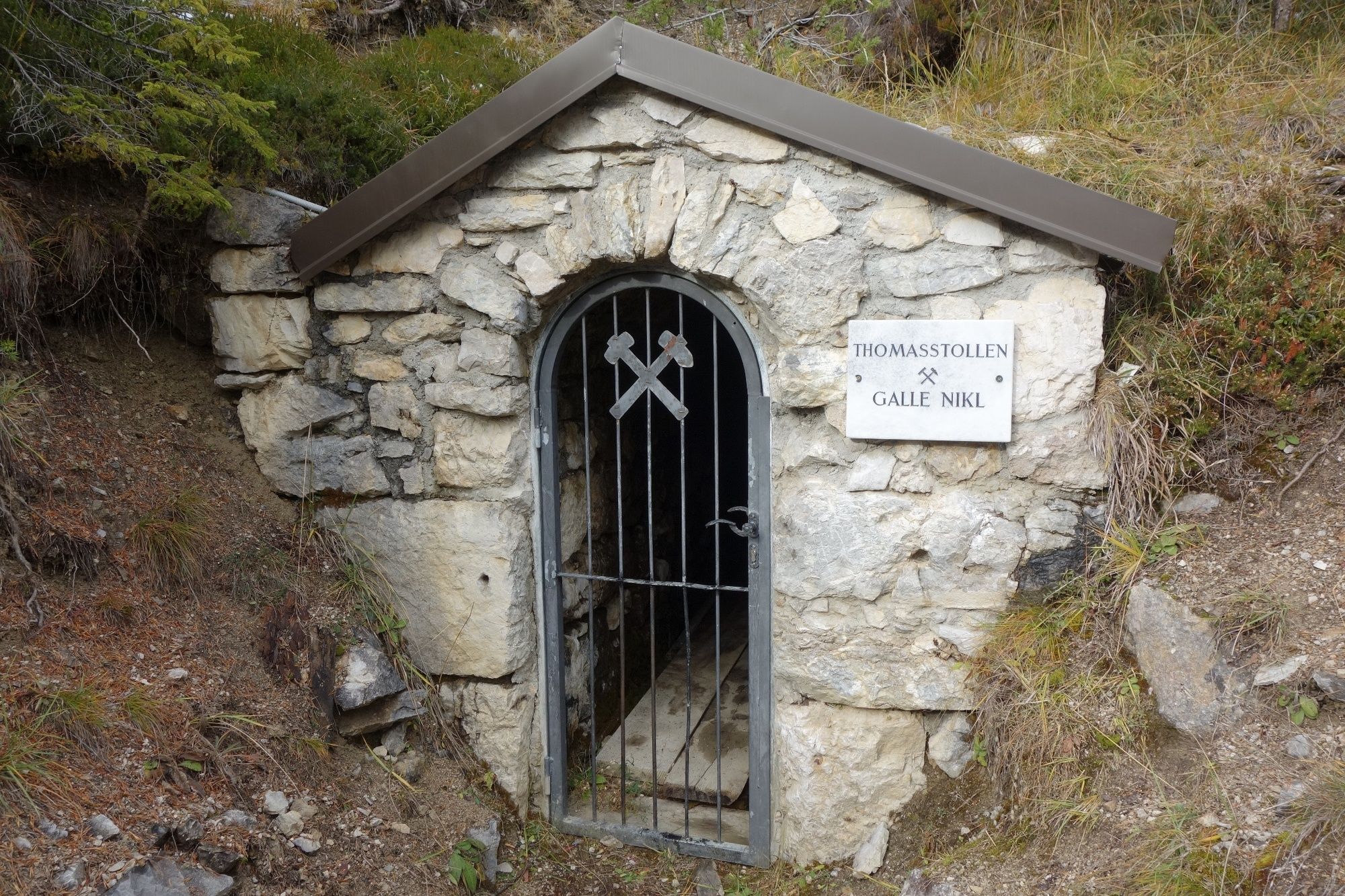
© Region Villach - Faaker See - Ossiacher See - Region Villach
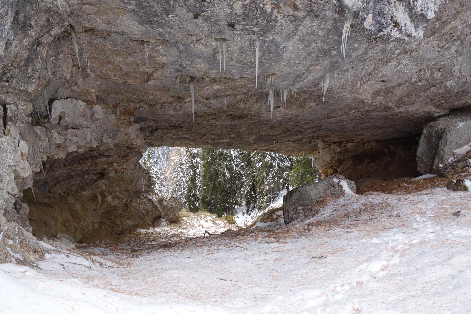
© Region Villach - Faaker See - Ossiacher See - Region Villach

© Outdooractive – 3D Videos
© Region Villach - Faaker See - Ossiacher See - Region Villach

- Kratak opis
-
Intermediate and entertaining hiking tour.
- Teškoća
-
srednje
- Vrednovanje
-
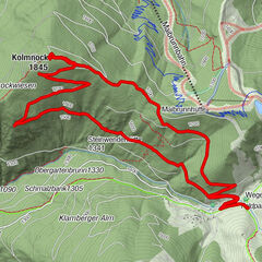
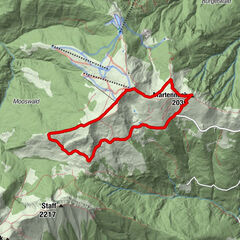
- Wegverlauf
-
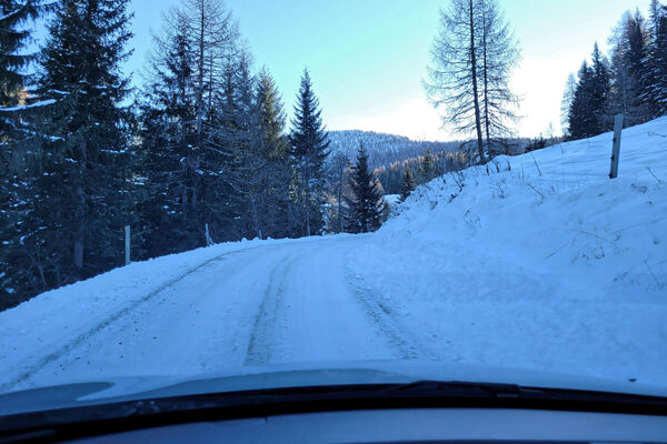
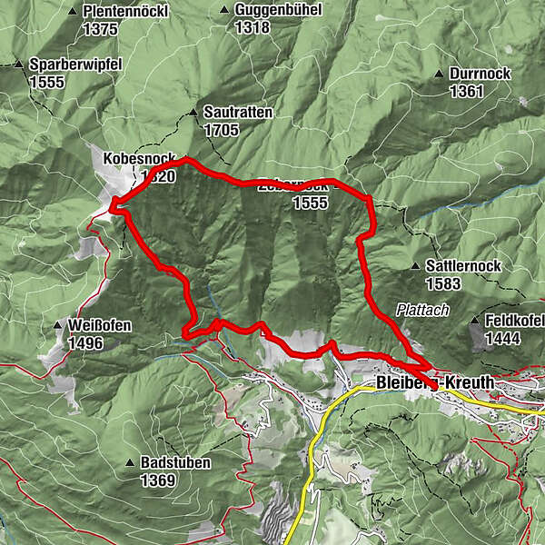
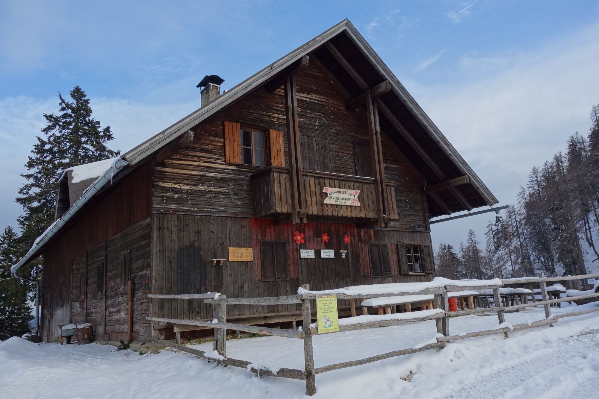
Bleiberg-KreuthFuggertal0,3 kmZebernock (1.555 m)3,0 kmKobesnock (1.820 m)4,5 kmWertschacher Alm5,5 kmFuggertal10,2 kmBleiberg-Kreuth10,5 km
- Beste Jahreszeit
-
sijveljožutrasvilipsrpkolrujlisstupro
- Höchster Punkt
- 1.800 m
- Zielpunkt
-
Bleiberg-Kreuth
- Höhenprofil
-

- Autor
-
Die Tour Kobesnock Crossing wird von outdooractive.com bereitgestellt.
GPS Downloads


Opće informacije
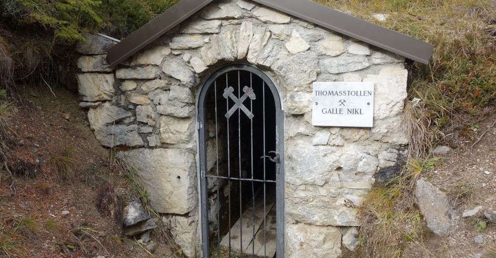
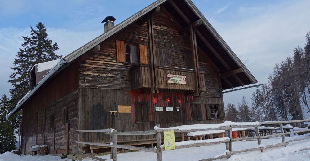
Einkehrmöglichkeit
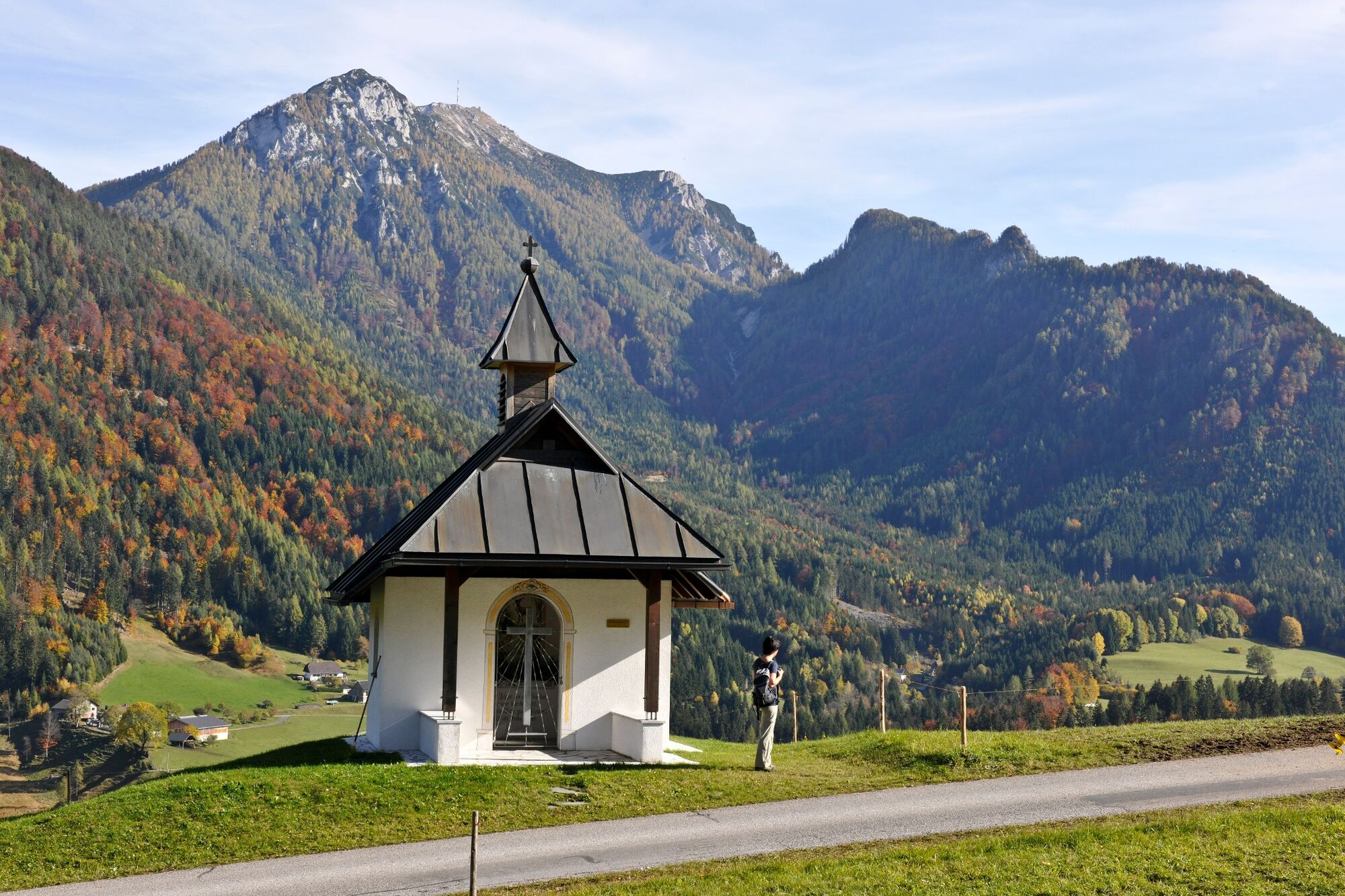
Aussichtsreich
Weitere Touren in den Regionen