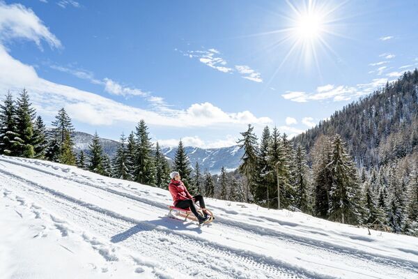
© Michael Kleinsasser
© Michael Kleinsasser
© Michael Kleinsasser
© Michael Kleinsasser
© Michael Kleinsasser
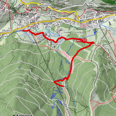
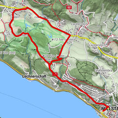
Podaci o ruti
7,92km
1.110
- 1.892m
765hm
777hm
03:36h

- Kratak opis
-
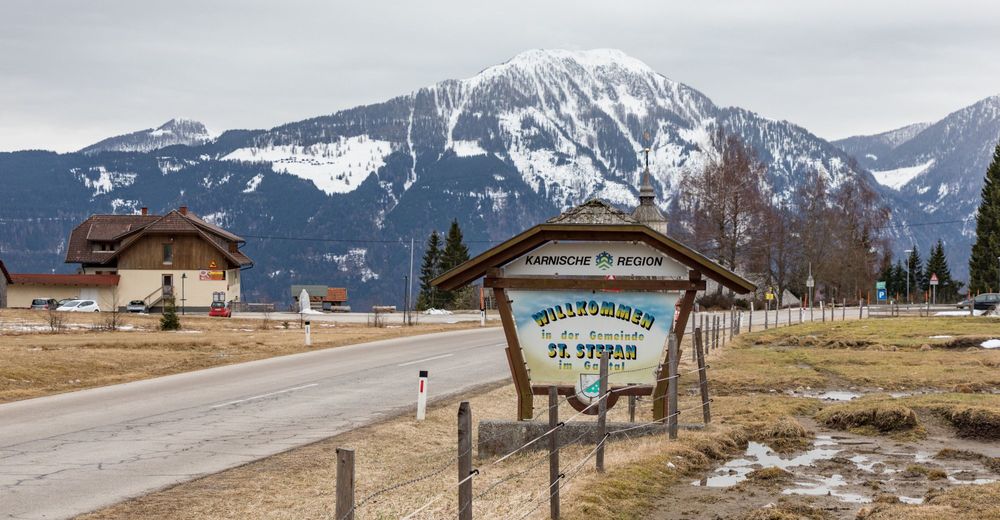
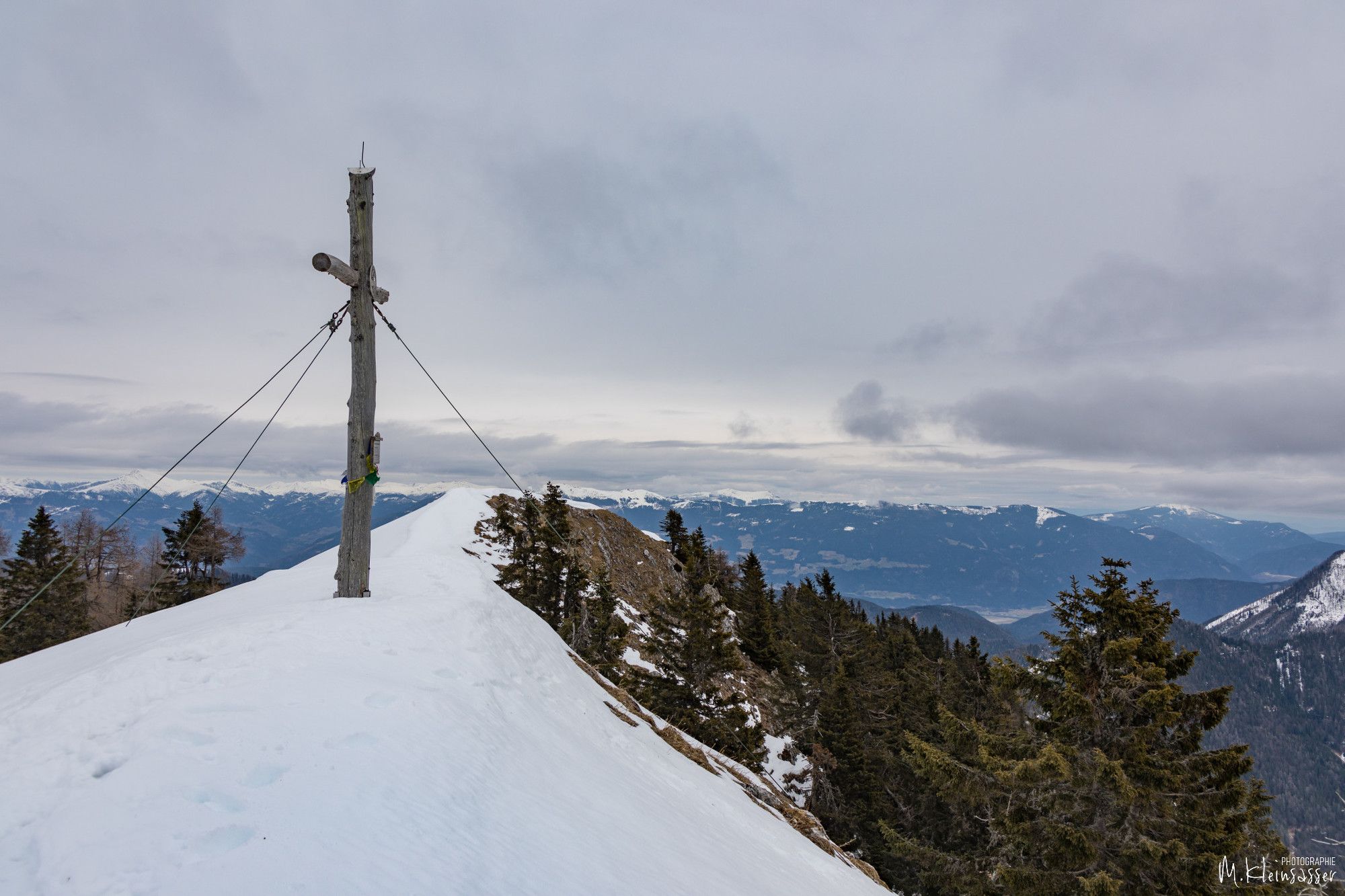
Von der Windischen Höhe auf den Tschekelnock
- Teškoća
-
srednje
- Vrednovanje
-
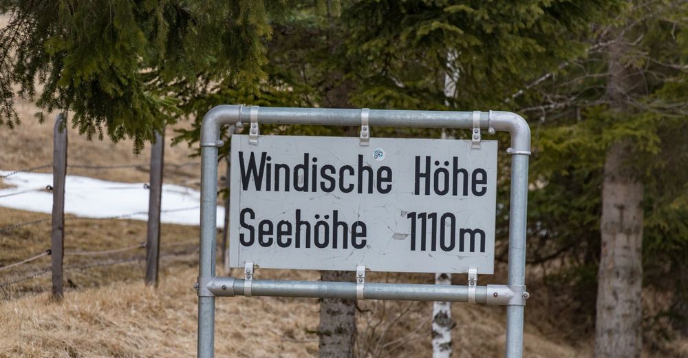
- Polazna točka
-
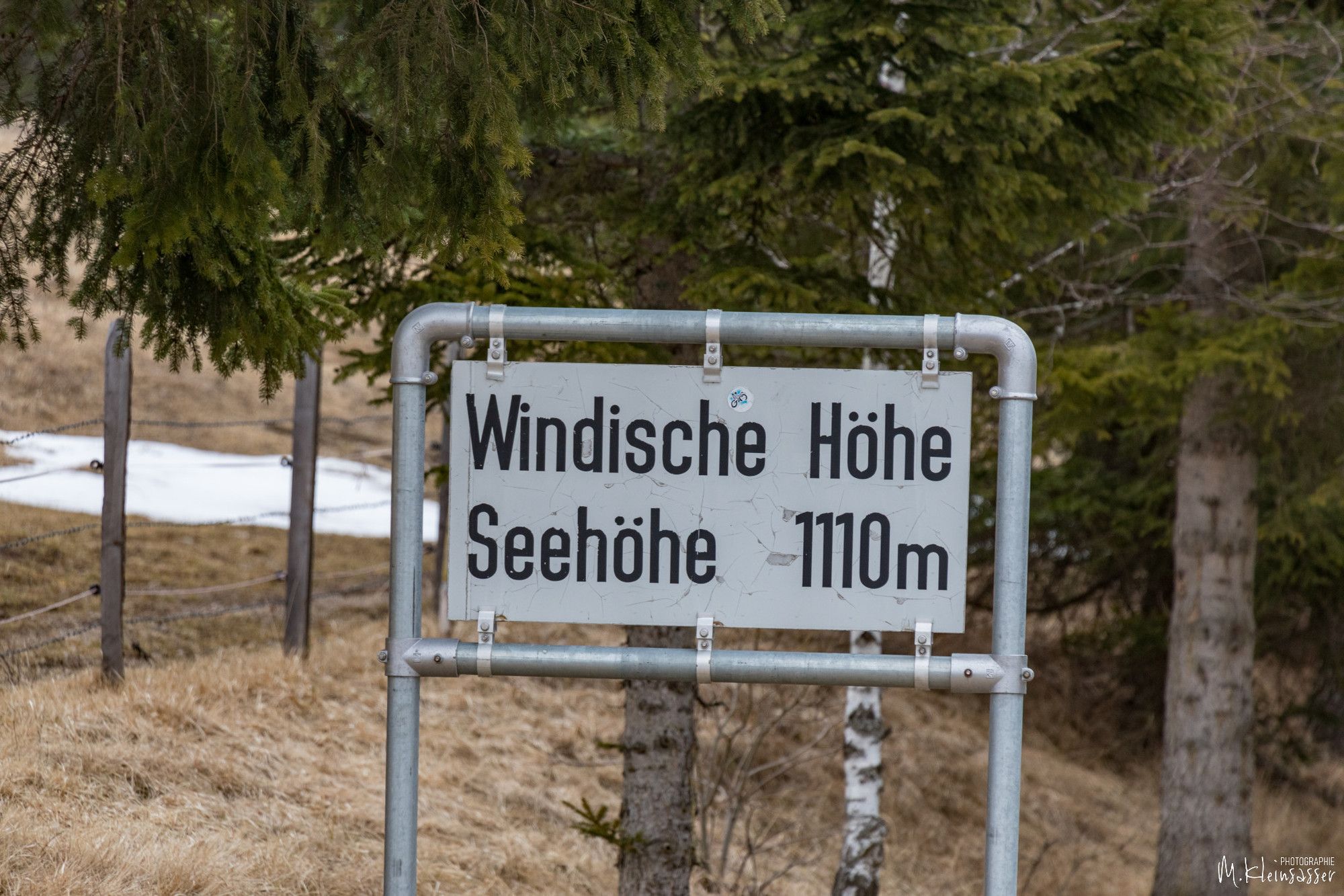
Parkplätze Windische Höhe
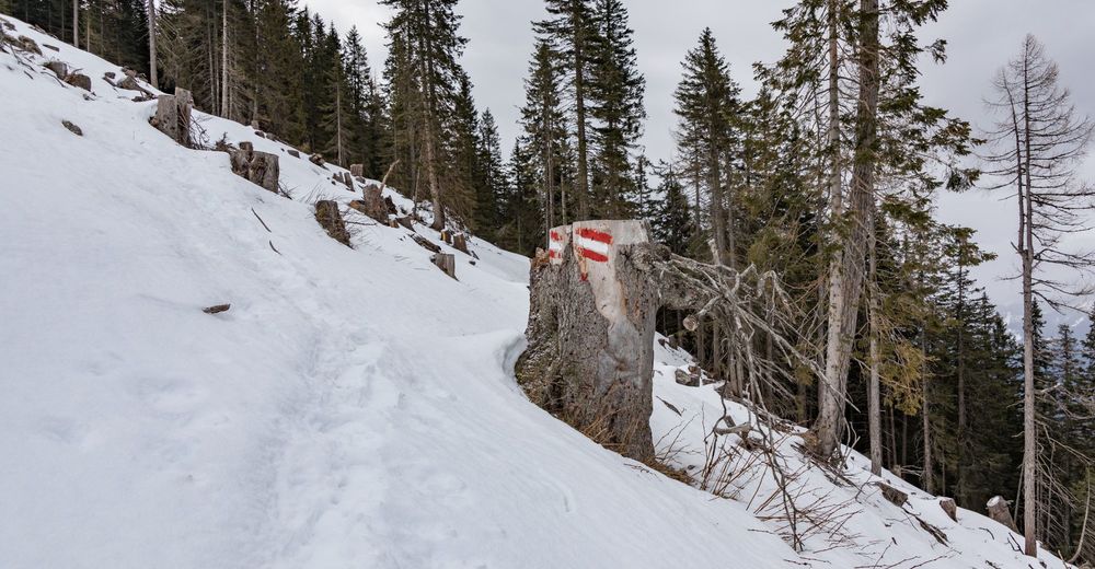
- Wegverlauf
-
Tschekelnock (1.892 m)4,0 km
- Beste Jahreszeit
-
kolrujlisstuprosijveljožutrasvilipsrp
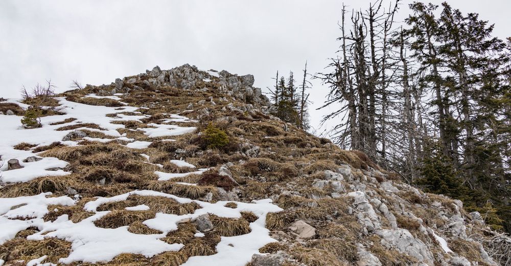
- Höchster Punkt
- Tschekelnock (1.892 m)
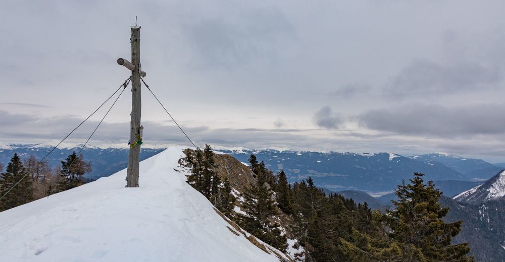
- Zielpunkt
-
Tschekelnock
- Rast/Einkehr
-
Windische Höhe


- Izvor
- Mike
GPS Downloads


Weitere Touren in den Regionen