© ales fevzer
© TOMO JESENICNIK - TOMO JESENICNIK tomo@sgn.net
© TOMO JESENICNIK - TOMO JESENICNIK tomo@sgn.net
© Tomo Jesenicnik
Podaci o ruti
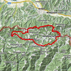
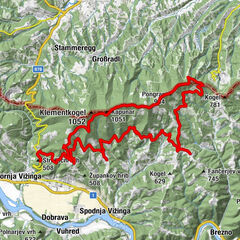
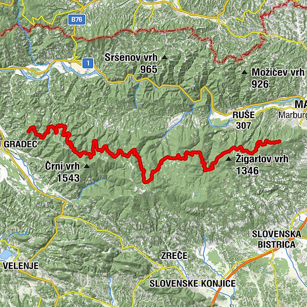
73,55km
907
- 1.408m
4.403hm
4.403hm
04:05h
- Kratak opis
-
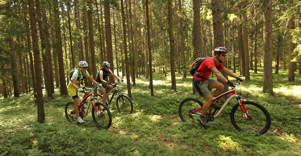
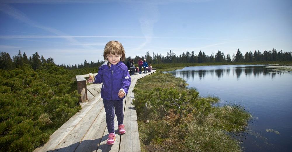
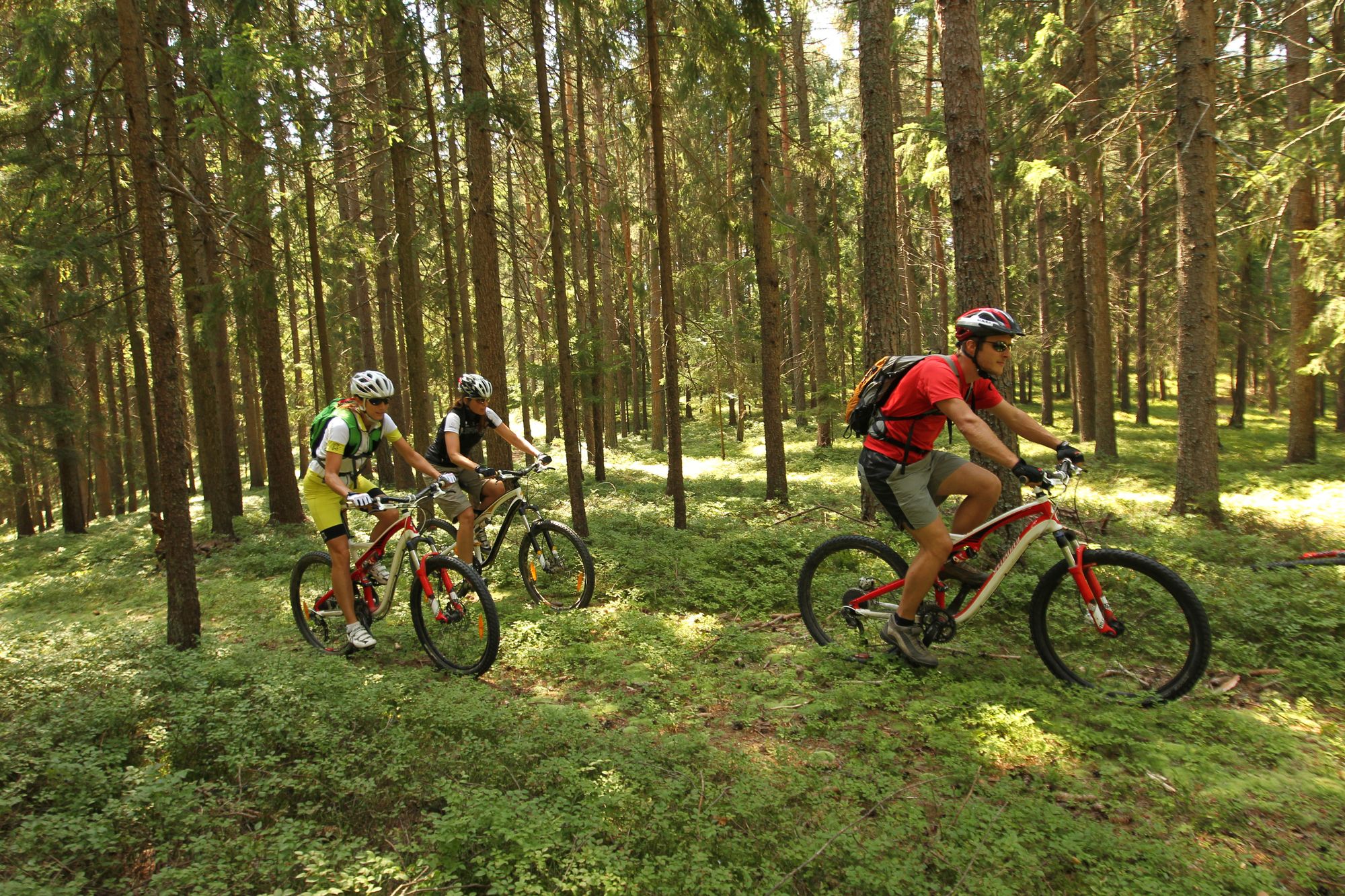
On the slopes of Pohorje there is a vibrant 70 km long cycling route that connects its eastern part with the western.
- Teškoća
-
teška
- Vrednovanje
-
- Wegverlauf
-
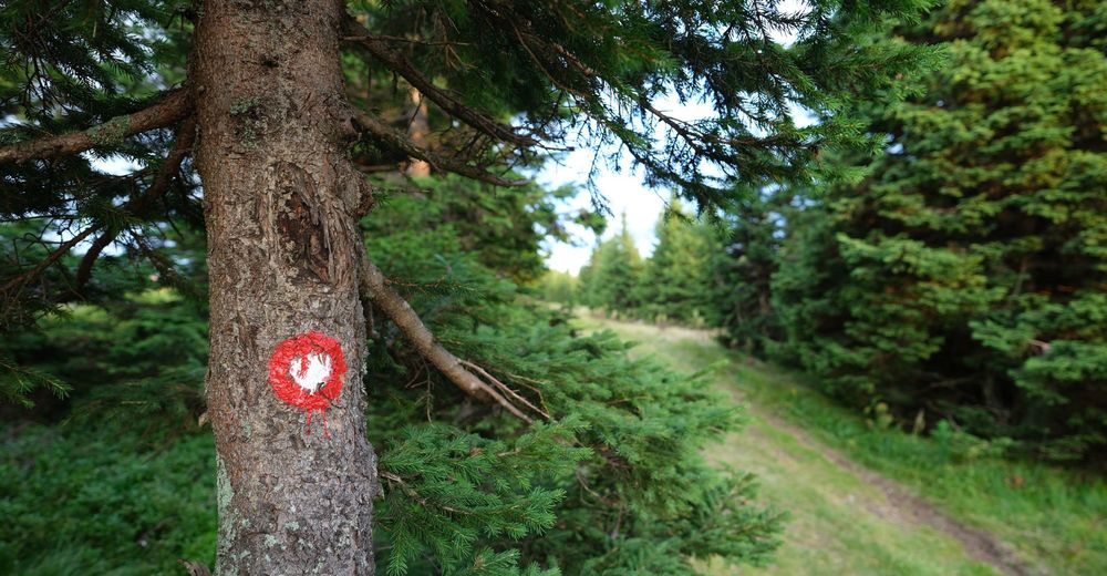
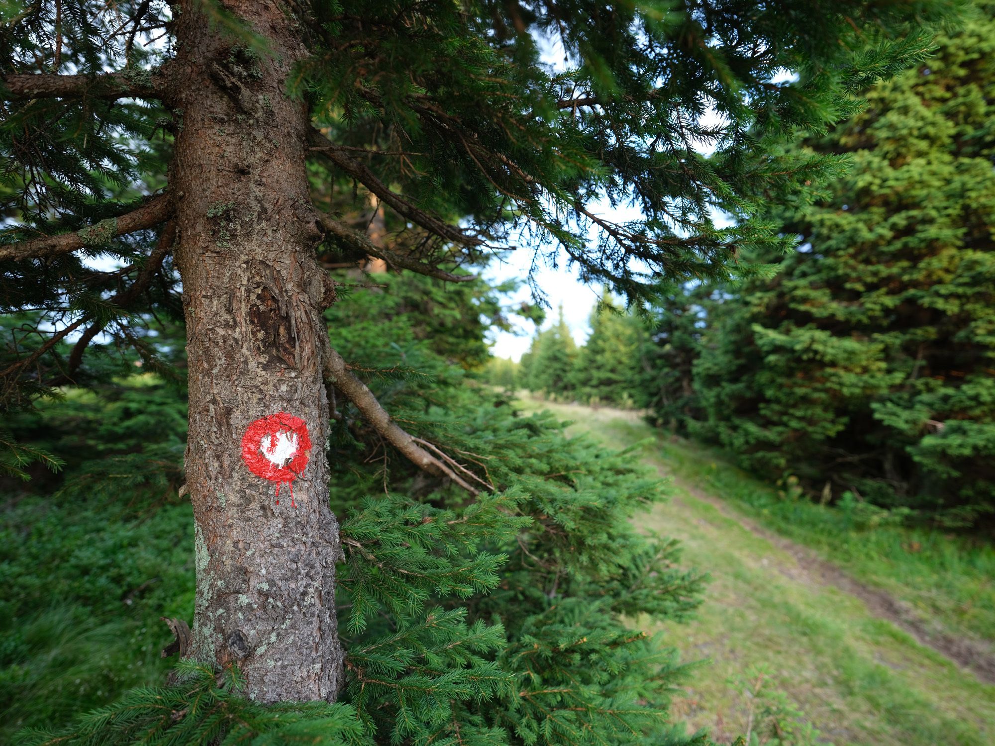
Izvir Kamenitnice1,4 kmBrneško sedlo (1.001 m)3,4 kmKoča Kaštivnik7,1 kmHolcer17,5 kmPungart (1.374 m)17,5 kmKope17,6 kmKoča na Pesku (1.382 m)41,9 kmKamenitec (1.304 m)46,5 kmVeliki Šumik58,0 kmVernski slap58,4 kmCojzarica (1.156 m)62,1 kmDom na Glažuti67,0 kmSv. Bolfenk73,3 kmMariborsko Pohorje (1.042 m)73,3 km
- Beste Jahreszeit
-
sijveljožutrasvilipsrpkolrujlisstupro
- Höchster Punkt
- 1.408 m

GPS Downloads


Weitere Touren in den Regionen
-
Südsteiermark
137
-
Savinjska
24
-
Rogla
16