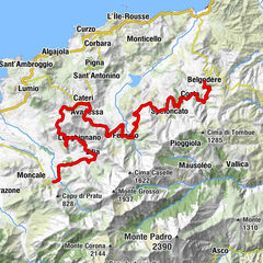
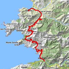
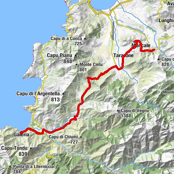
From the Mediterranean mountain landscape to the coastal town of Galéria


© iStock.com - GrigoryLugovoy

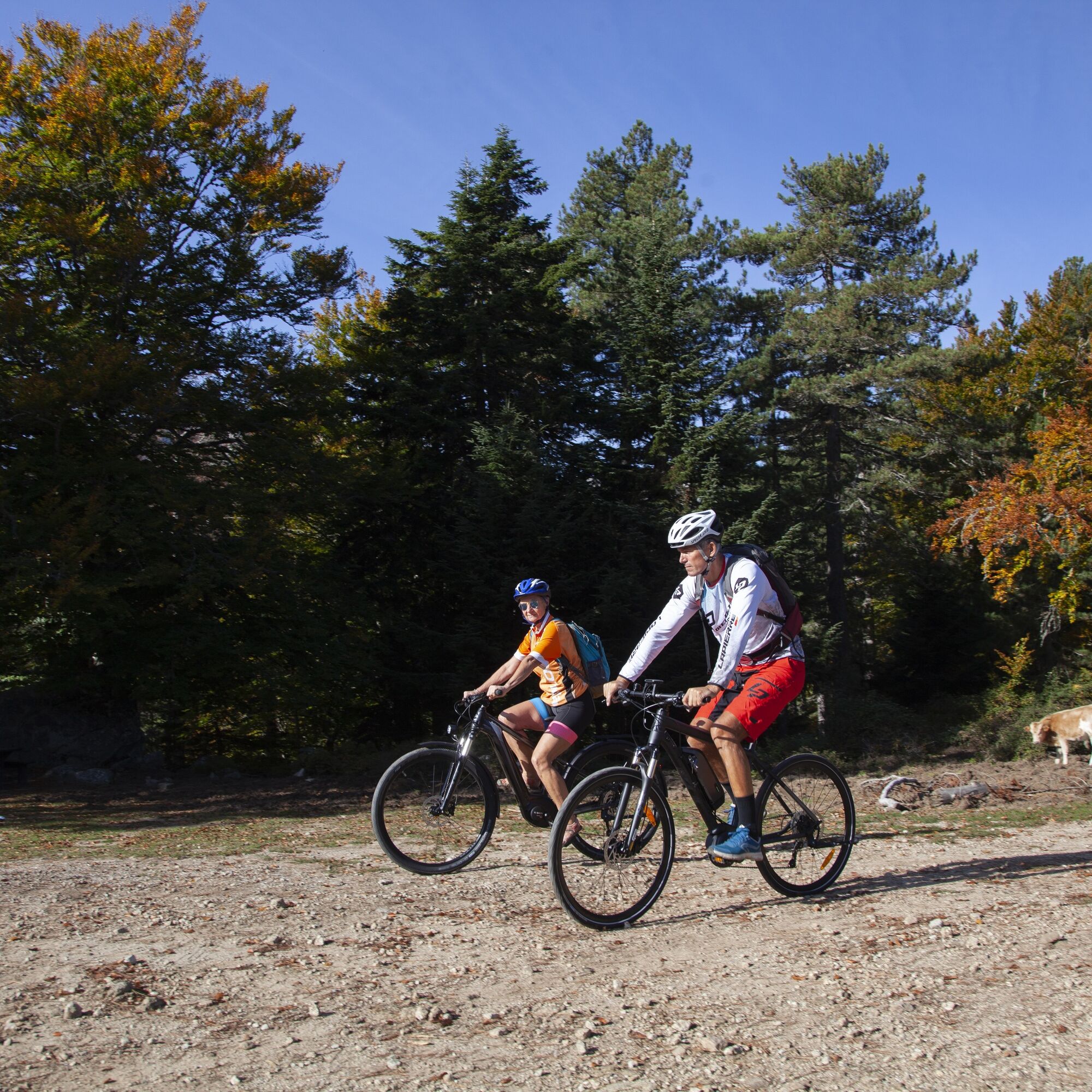
© ATC - Sylvain Alessandri

© ATC - Sylvain Alessandri

© ATC - Sylvain Alessandri

© ATC - Sylvain Alessandri

- Kratak opis
-
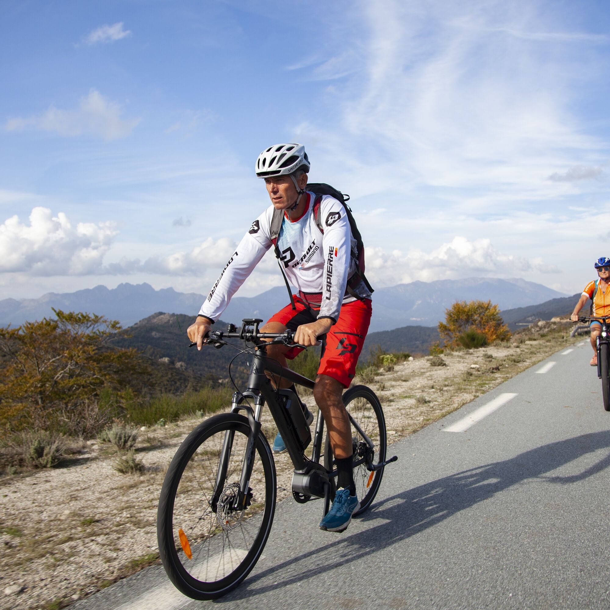
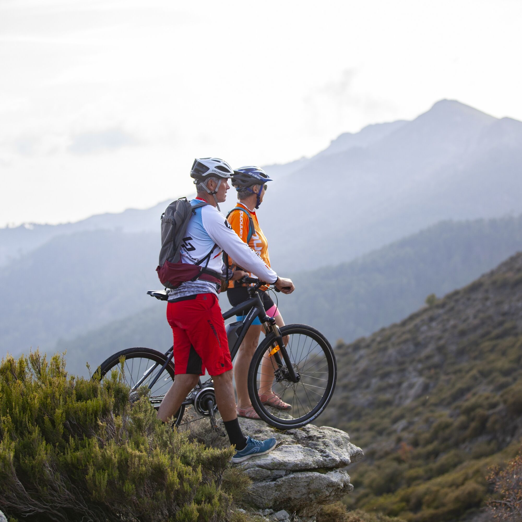
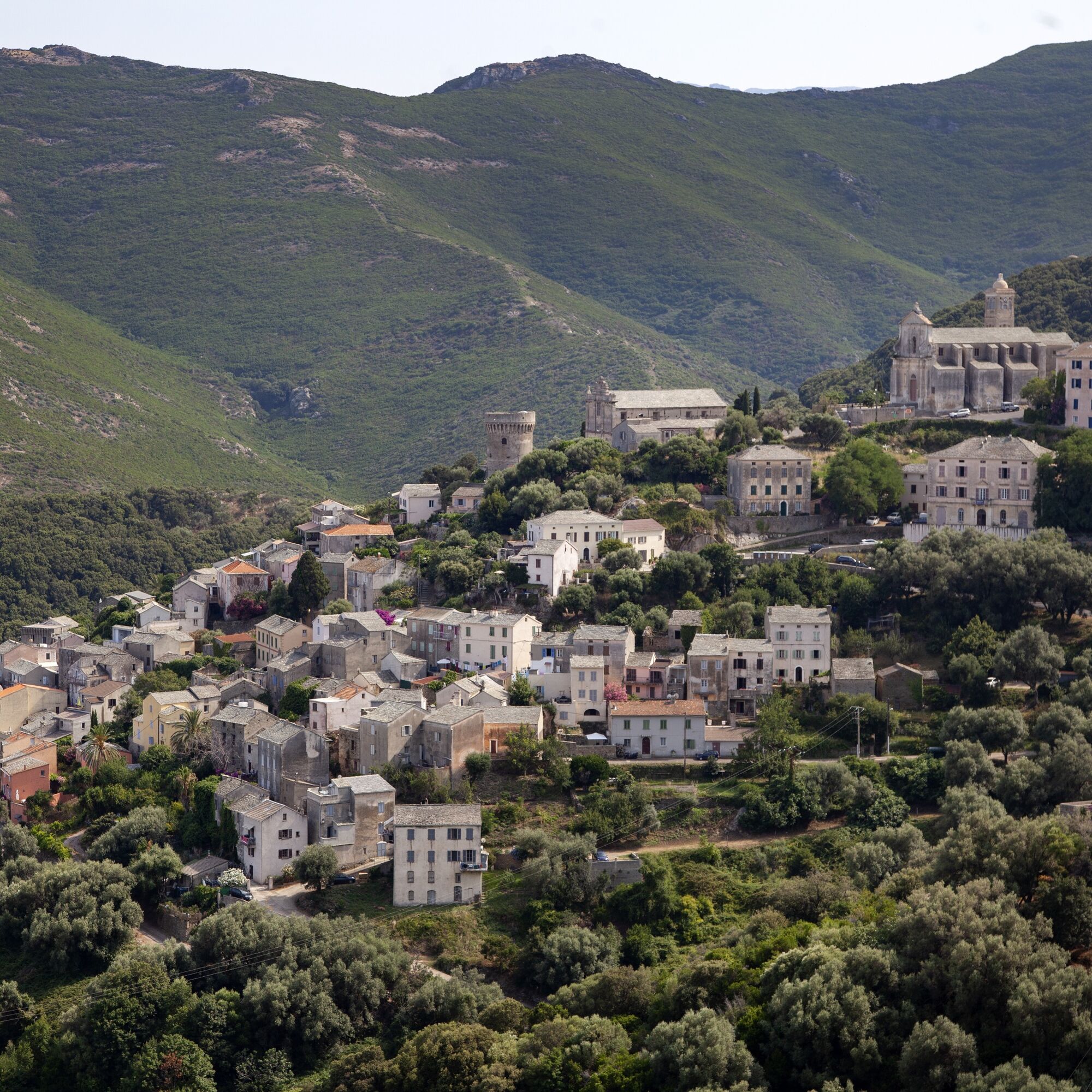
From the mountain landscape in the centre of the French island, the tour leads along the GT 20 long-distance cycle path to the sea and the quiet coastal town of Galéria.
- Teškoća
-
srednje
- Vrednovanje
-
- Wegverlauf
-
Église Saint-Blaise0,2 kmCalenzana0,2 kmÉglise Saint-Roch2,0 kmMoncale2,0 kmTarazone7,3 kmFigarella9,0 kmSuare10,0 kmL'Artigiana29,5 kmGaléria30,6 km
- Beste Jahreszeit
-
sijveljožutrasvilipsrpkolrujlisstupro
- Höchster Punkt
- 429 m
- Zielpunkt
-
Galéria
- Höhenprofil
-
 © outdooractive.com

- Autor
-
Die Tour From the Mediterranean mountain landscape to the coastal town of Galéria wird von outdooractive.com bereitgestellt.
GPS Downloads


Opće informacije
Einkehrmöglichkeit
Kulturell/Historisch
Flora
Aussichtsreich
Weitere Touren in den Regionen