© ATC - Sylvain Alessandri

© ATC - Sylvain Alessandri

© ATC - Sylvain Alessandri

© ATC - Sylvain Alessandri

© iStock - sam74100

- Kratak opis
-
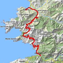
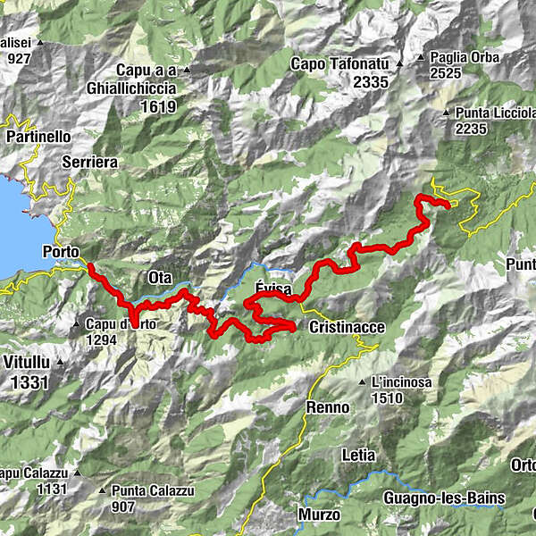
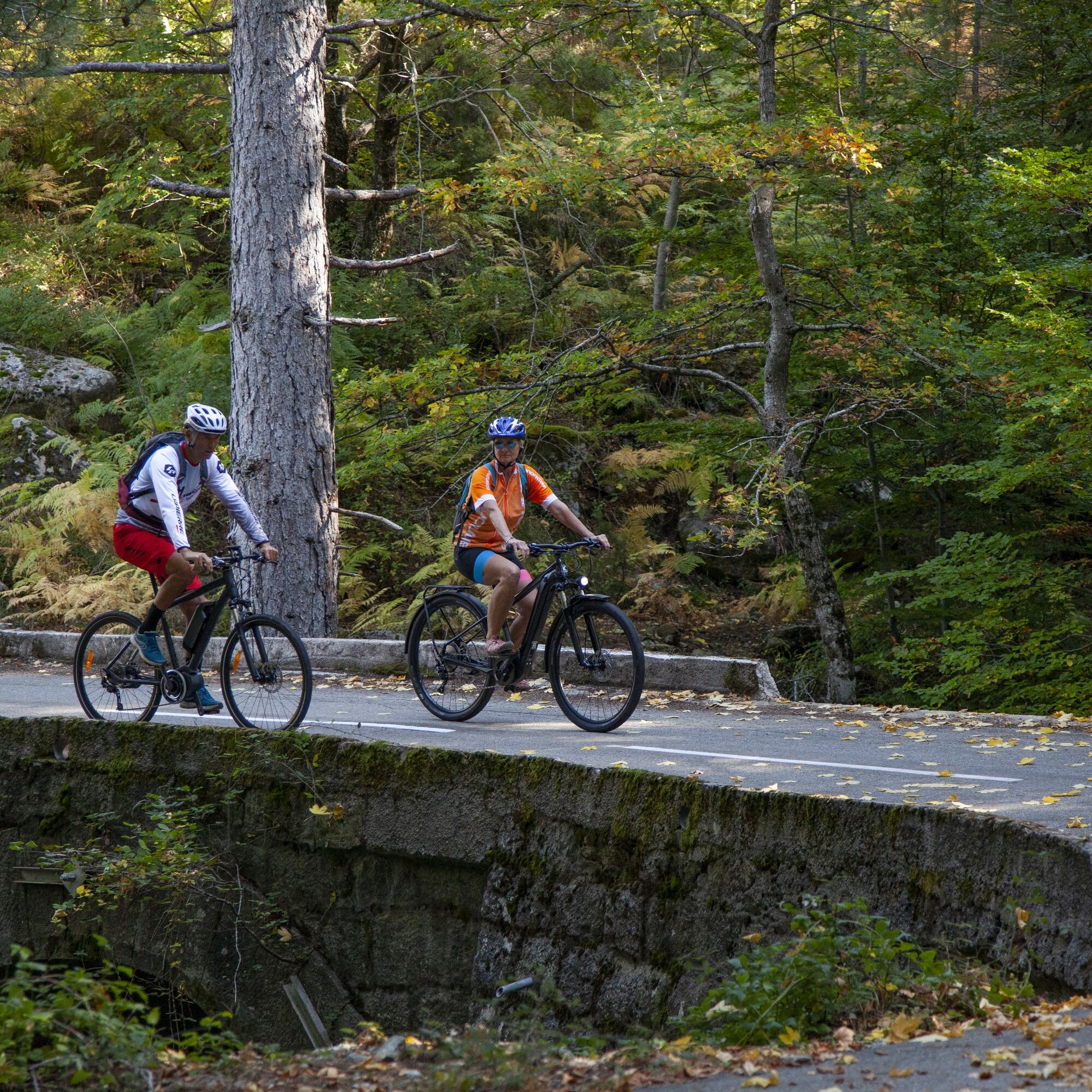
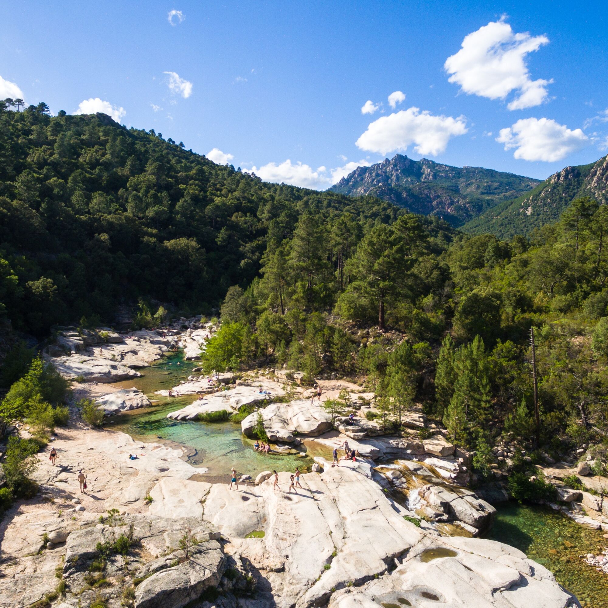
From Porto, the road connection leads to the Col de Vergio and the highest pass road on the French Mediterranean island.
- Teškoća
-
teška
- Vrednovanje
-
- Wegverlauf
-
Fontaine du Pont de Porto0,3 kmChidazzo13,8 kmMarignana15,0 kmTable d'orientation19,8 kmSan Cipriano20,2 kmRimpianata20,2 kmMare é Monti20,9 kmÉvisa21,0 kmu Caracutu21,1 kmL'Äitone21,7 kmFontaine du Rat (1.140 m)26,9 kmPaisolu d'Aïtone27,4 kmFontaine de Manivella31,4 km
- Beste Jahreszeit
-
sijveljožutrasvilipsrpkolrujlisstupro
- Höchster Punkt
- 1.477 m
- Zielpunkt
-
Vergio
- Höhenprofil
-
 © outdooractive.com

- Autor
-
Die Tour On the Col de Vergio wird von outdooractive.com bereitgestellt.
GPS Downloads


Opće informacije
Einkehrmöglichkeit
Kulturell/Historisch
Flora
Aussichtsreich
Weitere Touren in den Regionen