

© ATC - Sylvain Alessandri

© ATC - Sylvain Alessandri

© iStock - jethic

© Fotolia - istintu

- Kratak opis
-
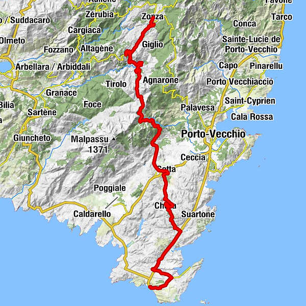
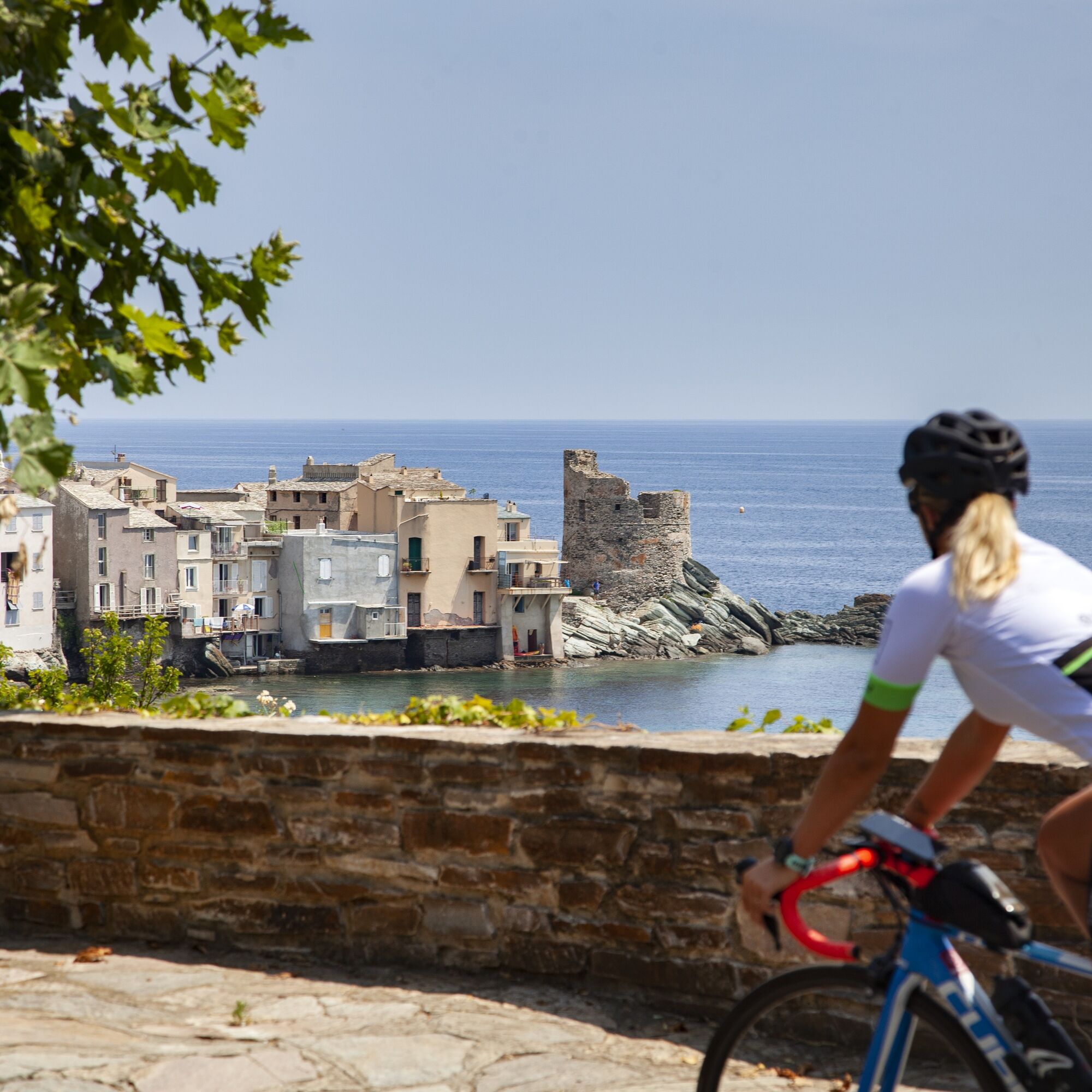
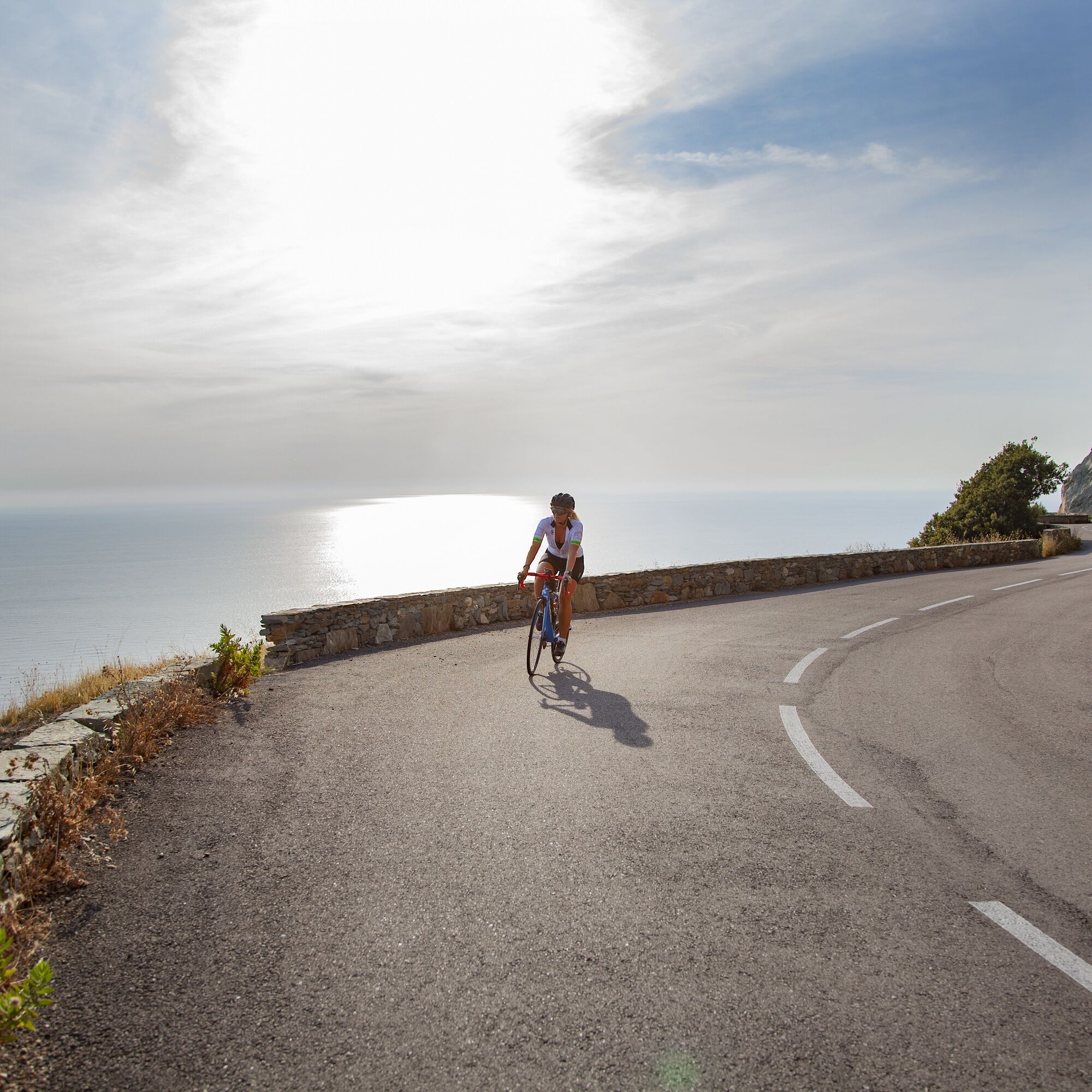
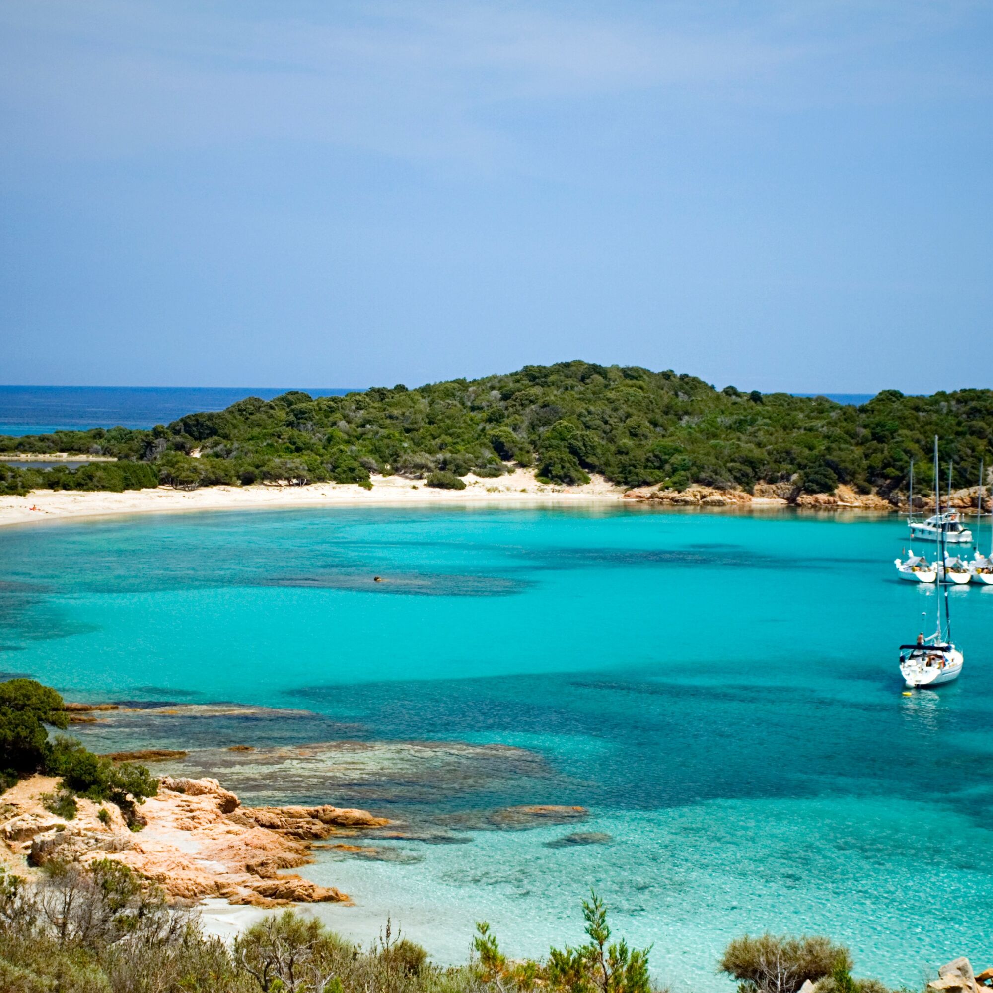
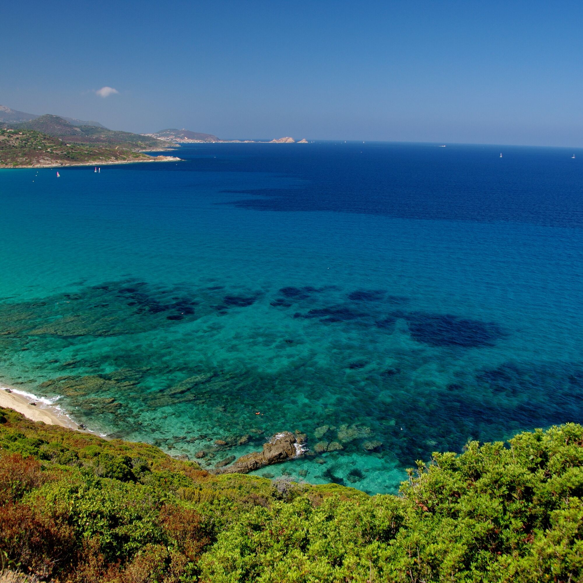
This varied tour leads through Corsica's mountain landscape to the coastal town of Bonifacio. Wonderful views are guaranteed here.
- Teškoća
-
teška
- Vrednovanje
-
- Wegverlauf
-
L'auberge du Sanglier0,0 kmLe Randonneur0,1 kmZonza0,2 kmLa ferme "A Stadda"0,8 kmSan-Gavino-di-Carbini5,3 kmA Piazzetta5,3 kmChiesa5,4 kmUn' antru versu5,4 kmCusciocani6,4 kmInsorito8,6 kmU Tascaronu8,8 kmLevie8,9 kmRestaurant La Pergola9,0 kmPizzeria Le Progrès9,1 kmNavaggia10,3 kmStuppiolu15,5 kmÉglise Saint Jean-Baptiste17,8 kmCarbini17,8 kmA Punta (610 m)18,1 kmOrone19,1 kmPiantarella19,5 kmFolce d'Olmo de Carbini19,7 kmLogo Longo23,2 kmFontaine de Bacinu (754 m)25,1 kmFornelli38,6 kmLastreto39,4 kmÉglise Saint-Martin41,4 kmSotta41,4 kmCanni46,1 kmZuccalella46,9 kmChera50,0 kmChapelle Sainte-Lucie50,2 kmSapareddi50,9 kmMusella66,2 kmArenaggio70,3 kmLongone70,6 kmSpiaggia70,9 kmBonifacio71,1 km
- Beste Jahreszeit
-
sijveljožutrasvilipsrpkolrujlisstupro
- Höchster Punkt
- 801 m
- Zielpunkt
-
Bonifacio
- Höhenprofil
-
 © outdooractive.com
- Autor
-
Die Tour From Zonza to the coast of Bonifacio wird von outdooractive.com bereitgestellt.
GPS Downloads


Opće informacije
Einkehrmöglichkeit
Kulturell/Historisch
Flora
Aussichtsreich
Weitere Touren in den Regionen