© A. Lamoureux / Destination Angers

© A. Lamoureux / Destination Angers

© A. Lamoureux / Destination Angers

© A. Lamoureux / Destination Angers
- Kratak opis
-
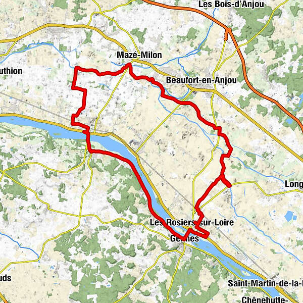
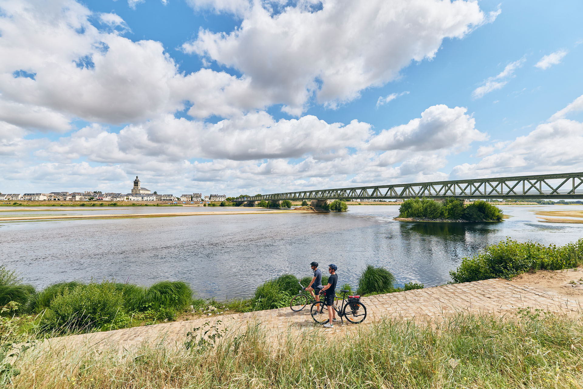
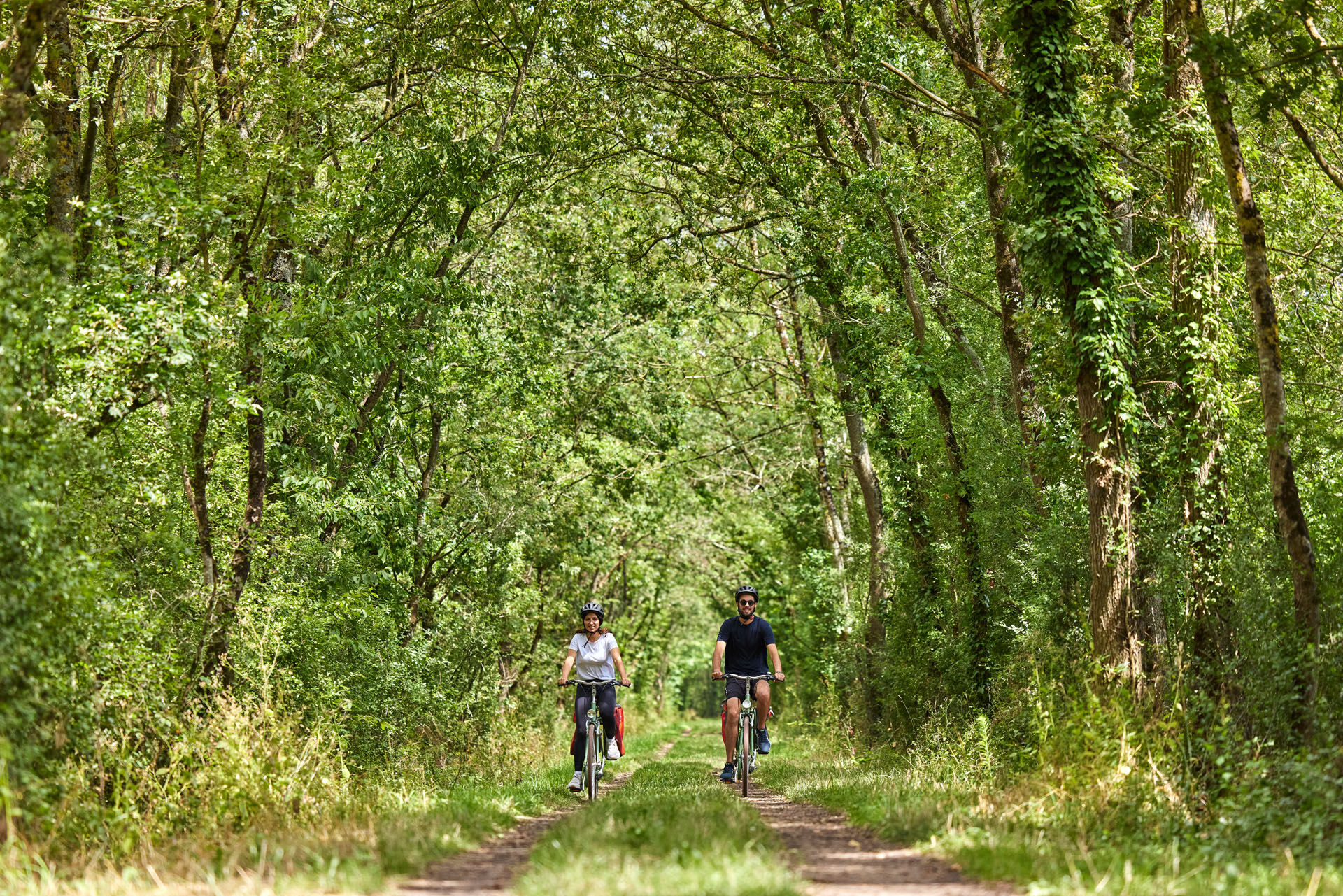
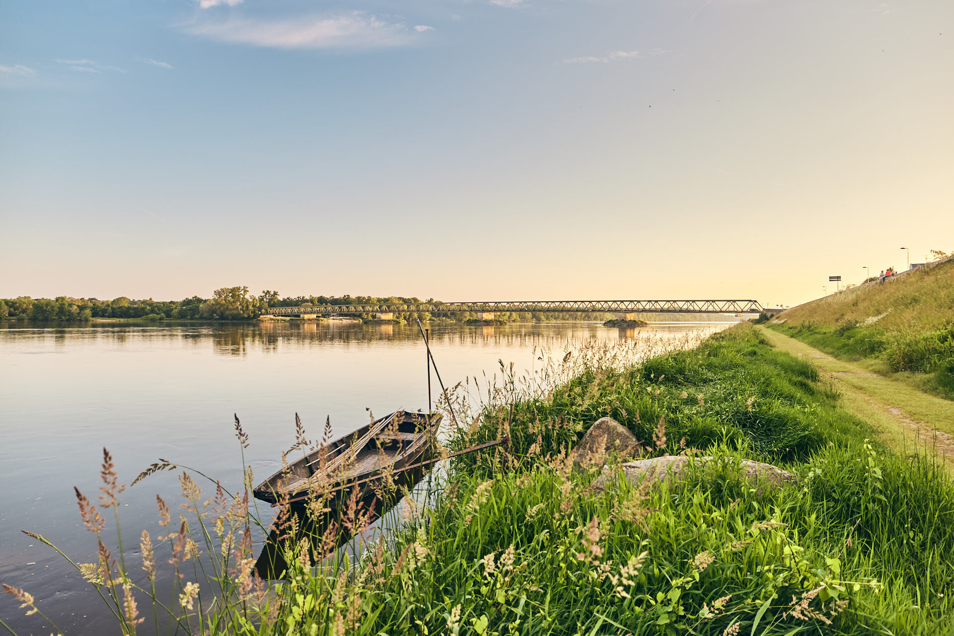
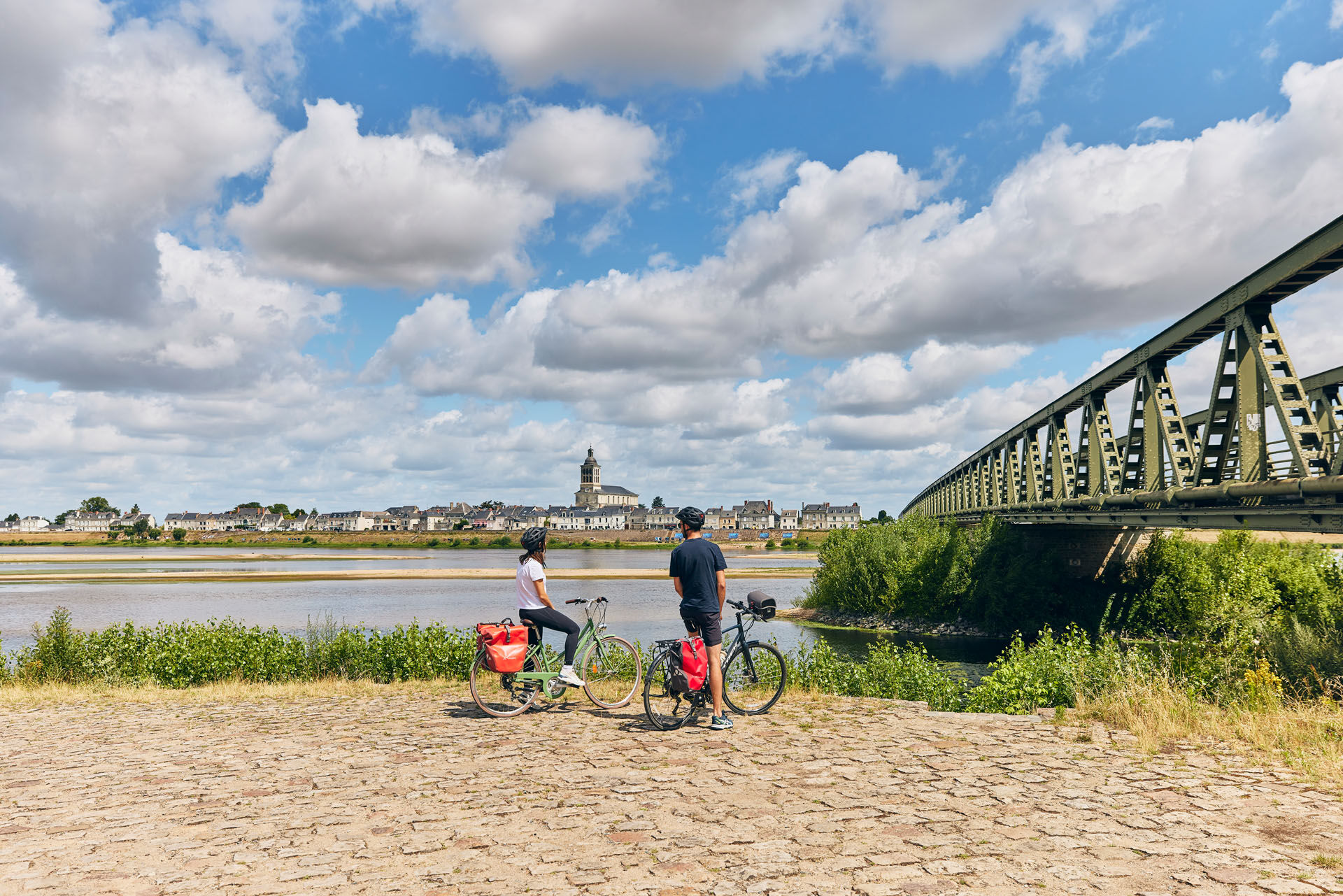
Starting in Saint-Mathurin-sur-Loire, take the 44km cycle route between the Loire and the Authion marshes and discover the horticultural valley of Anjou and the villages nestling at the foot of the Loire slopes.
- Teškoća
-
lagano
- Vrednovanje
-
- Wegverlauf
-
Les Reflets de Loire0,1 kmÉglise Saint-Mathurin0,1 kmSaint-Mathurin-sur-Loire0,1 kmLe Cosy0,1 kmBon Repos1,4 kmLe Gravier2,2 kmLes Brochons3,1 kmLa Tassinière3,4 kmBourg-Nabeau3,5 kmLa Chalotière3,8 kmLes Coins3,9 kmLa Besnardière6,8 kmLe Gué de Mazé10,6 kmLes Conglands12,1 kmLe Gué d’Anjan13,1 kmCanada Sud-Ouest15,7 kmLa Fourcelle20,9 kmLe Bas de Chappe22,8 kmLes Boisseaux23,4 kmLes Paitres23,7 kmLa Planche Princée23,9 kmLa Glace Vernée24,1 kmLes Pasqueries24,3 kmLe Pont de St René24,6 kmLa Maison Neuve25,1 kmLes Petits Bois26,6 kmLe Bas Mou26,9 kmLes Forges29,3 kmLes Rosiers-sur-Loire30,5 kmÎle de Gennes-Sud33,8 kmGennes34,2 kmÎle du Buisson34,7 kmLa Boussinière35,5 kmNorgevault36,1 kmLa Chapelle36,5 kmBessé36,7 kmLes Sablons36,8 kmLe Prieuré de Bessé36,9 kmRichebourg38,0 kmLa Route du Sel38,5 kmÉglise Saint-Genulf38,5 kmAu Coin du Fleuve38,6 kmLe Thoureil38,6 kmLa Marinière38,7 kmLa Garçonnière38,7 kmLa Taudière39,0 kmCamp Plantagenêt39,9 kmSaint-Maur41,2 kmLa Tour43,5 kmSaint-Rémy-la-Varenne43,8 kmÉglise Saint-Rémy44,0 kmLe Cosy45,7 kmLes Reflets de Loire45,8 kmSaint-Mathurin-sur-Loire45,8 km
- Beste Jahreszeit
-
sijveljožutrasvilipsrpkolrujlisstupro
- Höchster Punkt
- 33 m
- Zielpunkt
-
Saint-Mathurin-sur-Loire
- Höhenprofil
-
 © outdooractive.com
-

-
AutorDie Tour Loire River and Authion Marshes Circuit wird von outdooractive.com bereitgestellt.
GPS Downloads


Opće informacije
Einkehrmöglichkeit
Kulturell/Historisch
Flora
Fauna
Aussichtsreich