© A. Lamoureux / Destination Angers

© Destination Angers

© Destination Angers
- Kratak opis
-
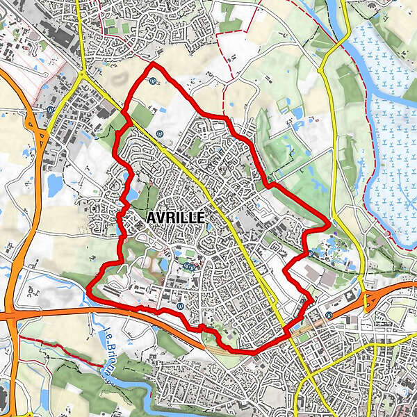
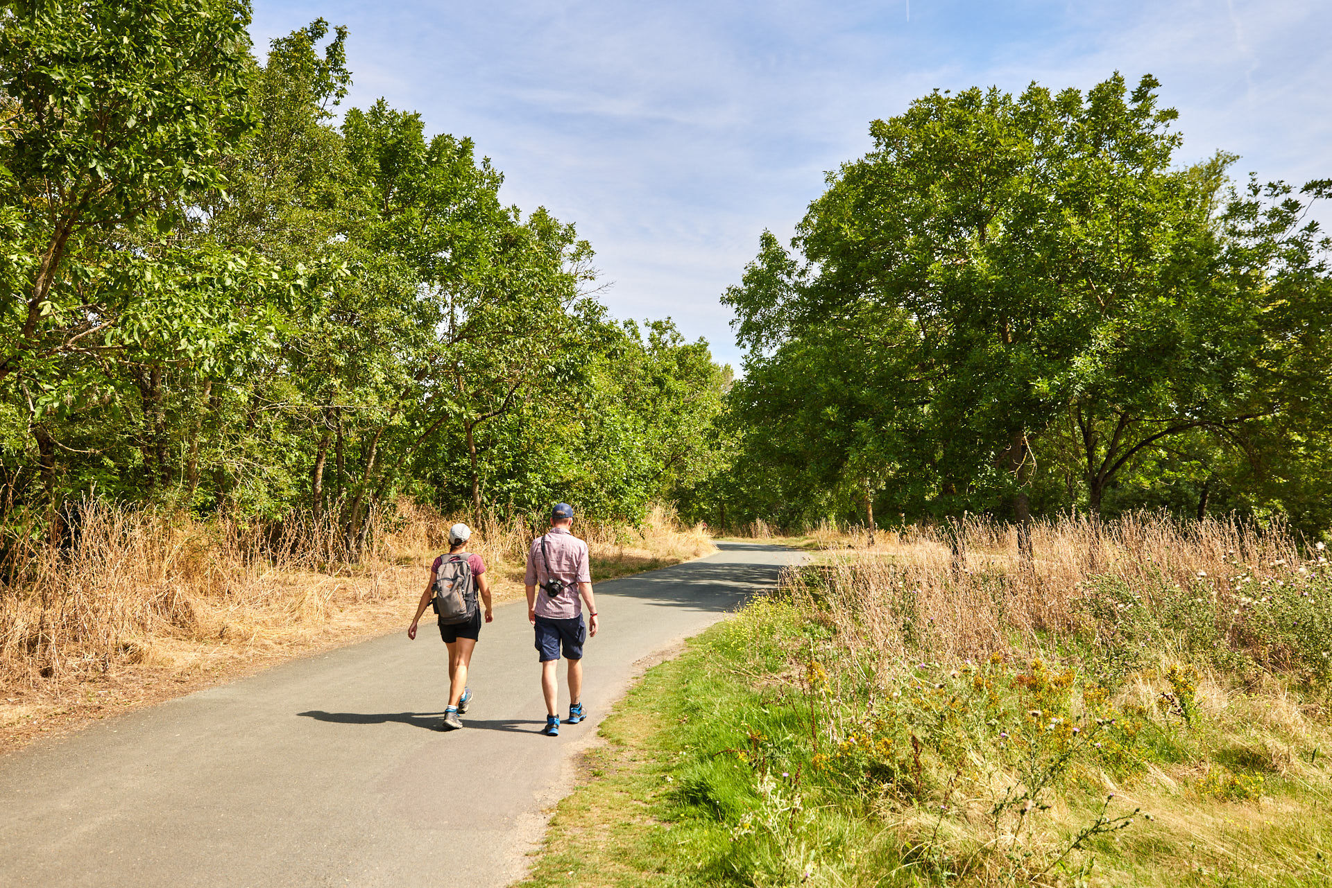
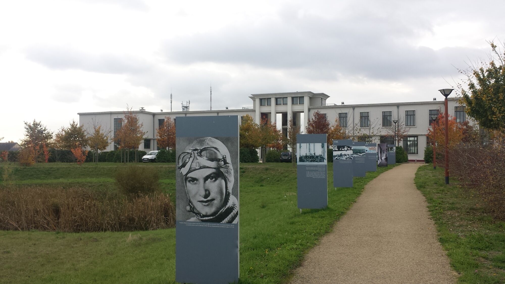
This trail is a green loop that will allow you to discover the districts of Avrillé and its many parks while taking paths in the countryside.
- Teškoća
-
lagano
- Vrednovanje
-
- Wegverlauf
-
Avrillé4,7 kmAngers9,3 kmLa Canopée9,8 km
- Beste Jahreszeit
-
sijveljožutrasvilipsrpkolrujlisstupro
- Höchster Punkt
- 56 m
- Zielpunkt
-
Avrillé
- Höhenprofil
-
 © outdooractive.com
-

-
AutorDie Tour The Aprilis trail wird von outdooractive.com bereitgestellt.
GPS Downloads


Opće informacije
Einkehrmöglichkeit
Heilklima
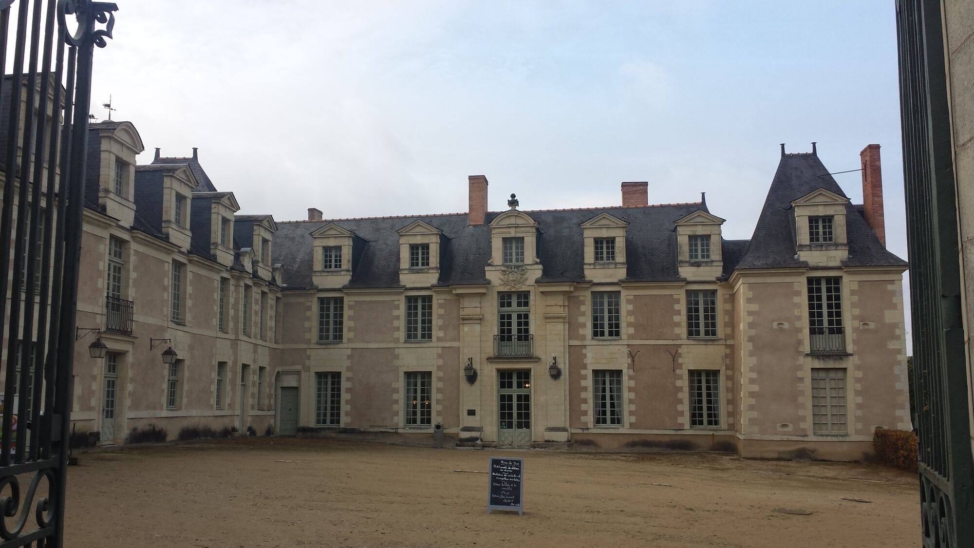
Kulturell/Historisch
Flora
Aussichtsreich