


© Liechtenstein Marketing

© Liechtenstein Marketing

© Liechtenstein Marketing
- Kratak opis
-
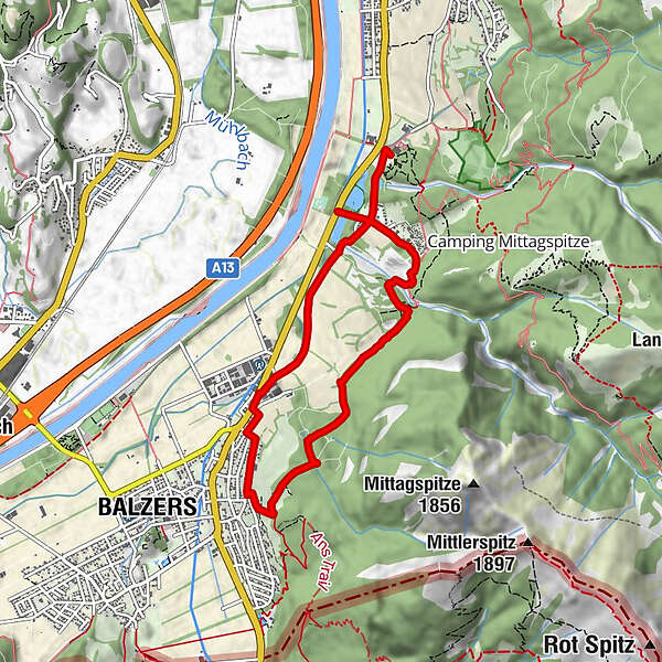
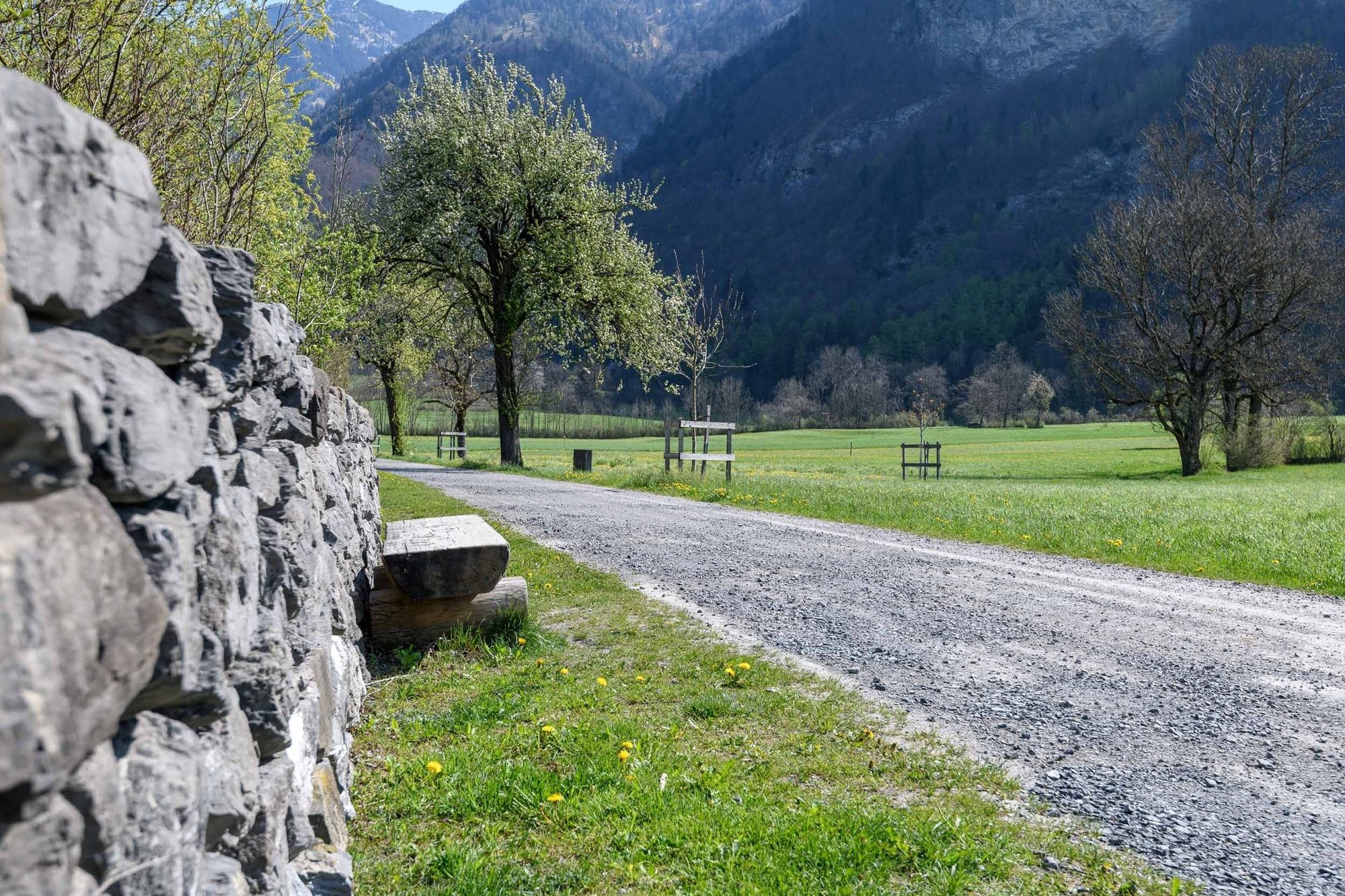
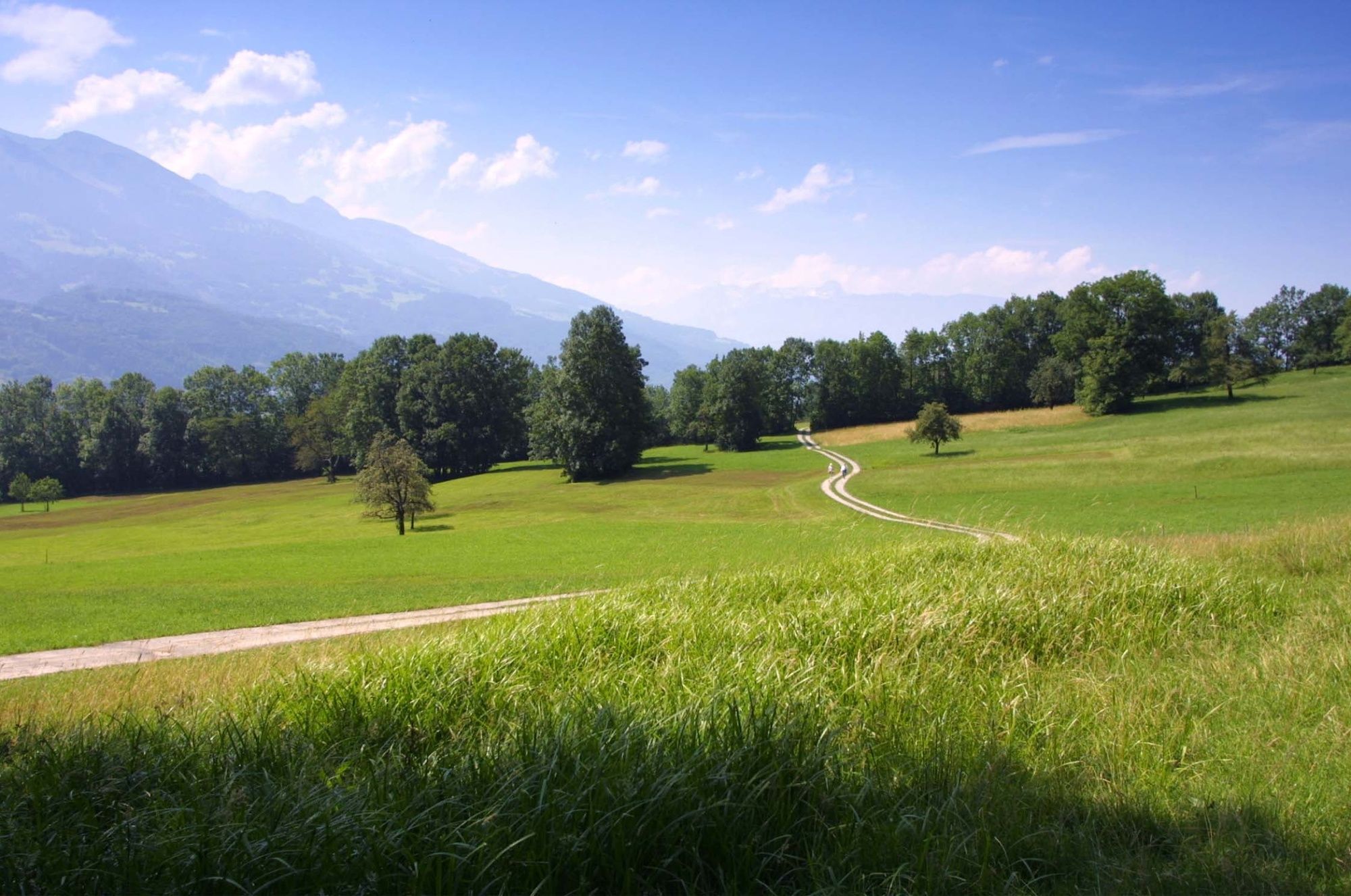
Leisurely hike through a varied natural environment (nature conservation ponds, rough meadows) and off the main road.
- Teškoća
-
lagano
- Vrednovanje
-
- Wegverlauf
-
Restaurant Alte Eiche0,5 kmBalzers (477 m)4,0 km
- Beste Jahreszeit
-
sijveljožutrasvilipsrpkolrujlisstupro
- Höchster Punkt
- 583 m
- Zielpunkt
-
Säga Triesen
- Höhenprofil
-
 © outdooractive.com

-

-
AutorDie Tour Säga Triesen wird von outdooractive.com bereitgestellt.
GPS Downloads


Opće informacije
Einkehrmöglichkeit
Flora
Aussichtsreich
Weitere Touren in den Regionen
-
Heidiland
2201
-
Liechtenstein
1289
-
Balzers
275


