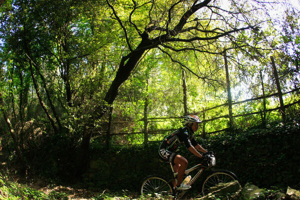
© Foto Archivio Agenzia in Liguria

© Foto Archivio Agenzia in Liguria

© Foto Archivio Agenzia in Liguria

© Foto Archivio Agenzia in Liguria

© Foto Archivio Agenzia in Liguria

© Foto Archivio Agenzia in Liguria

- Kratak opis
-
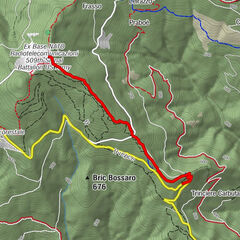
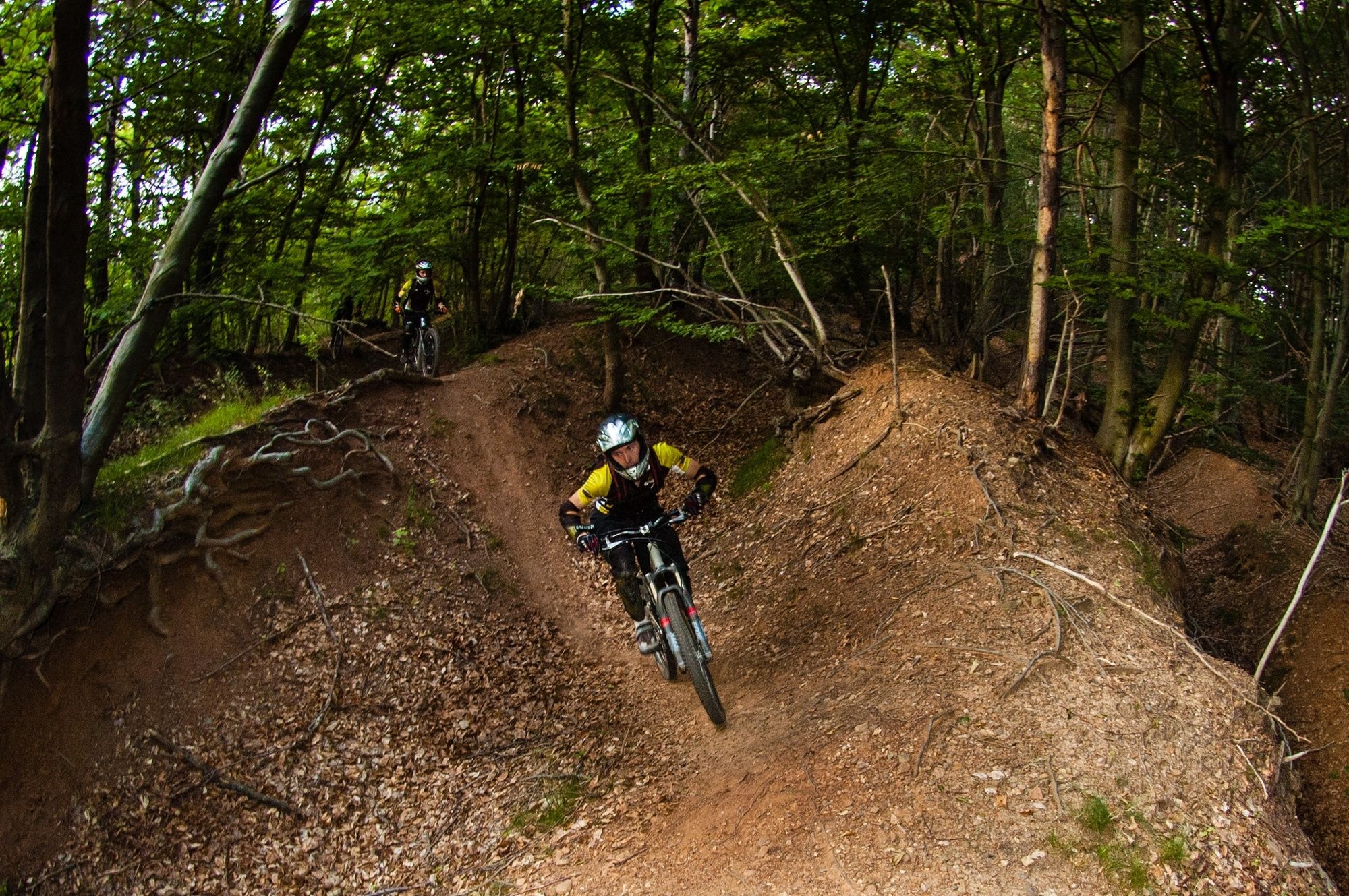
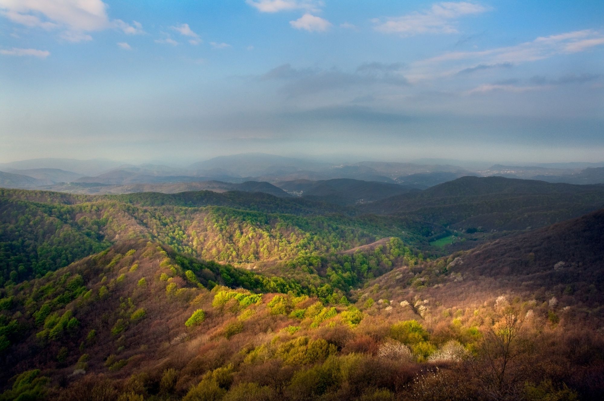
Aussichtsreiche Mountainbiketour durch das regionale Naturschutzgebiet "Dell'Adelasia" Ferrania in der Provinz Savona
- Teškoća
-
srednje
- Vrednovanje
-
- Wegverlauf
-
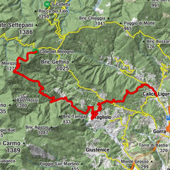
Abbazia di Ferrania0,0 kmBorgo San Pietro0,1 kmFerrania0,5 kmFerrania0,7 kmBric dell'Omo Morto (572 m)4,1 kmZerbaz6,5 kmSorgente del Mnau8,3 kmRifugio Cascina Miera9,8 kmChiappa (799 m)12,7 kmSorgente dei Froi17,2 kmSorgente del Manuà19,2 kmChiappa (799 m)22,4 kmBric del Cornato (601 m)25,8 kmValcalda29,7 kmBorgo San Pietro30,0 kmFerrania30,1 kmAbbazia di Ferrania30,2 km
- Beste Jahreszeit
-
sijveljožutrasvilipsrpkolrujlisstupro
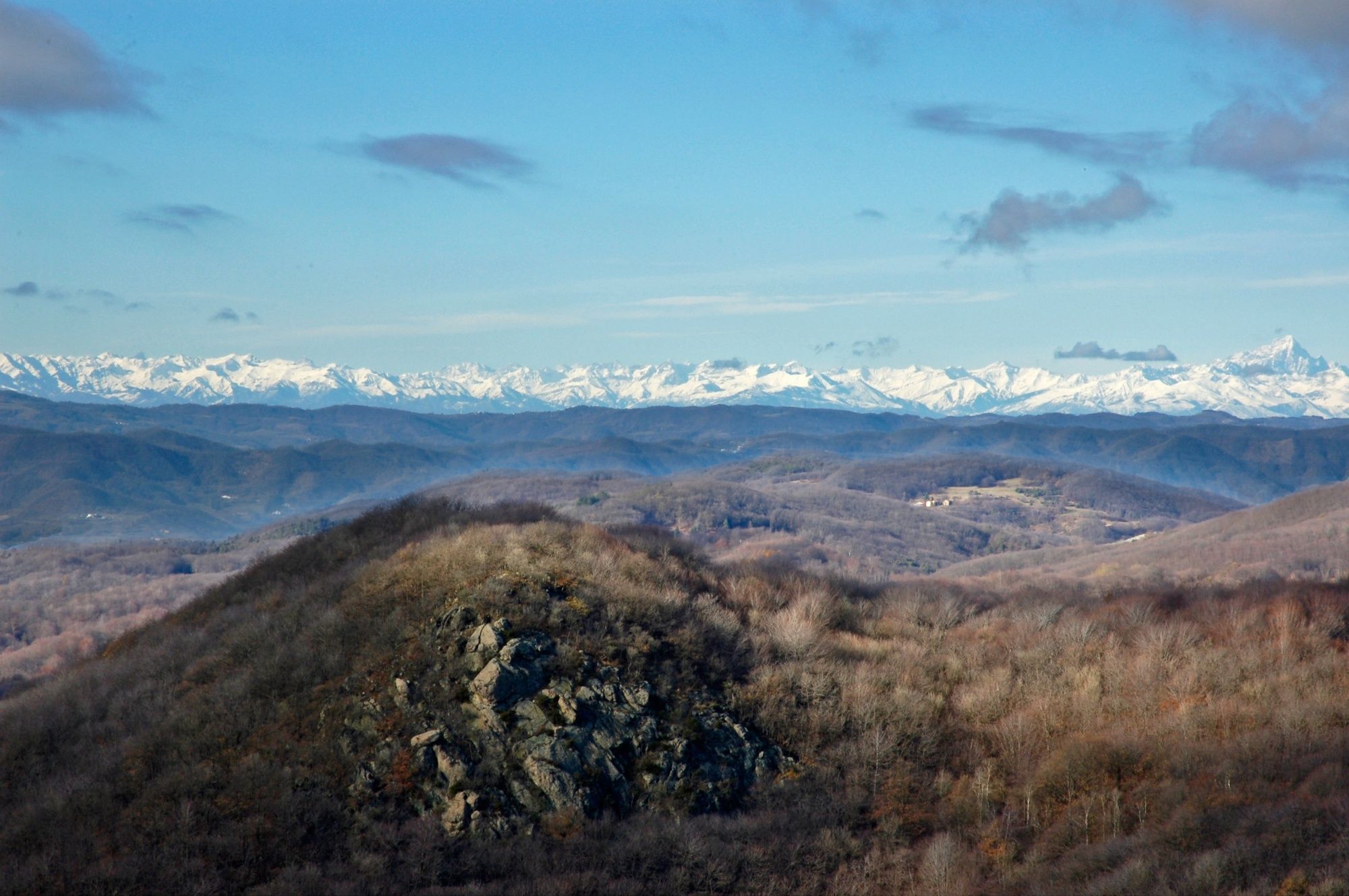
- Höchster Punkt
- 825 m
- Zielpunkt
-
Ferrania, Abtei Borgo San Pietro
- Höhenprofil
-
 © outdooractive.com


- Autor
-
Die Tour Cinghialtracks (Ferrania) wird von outdooractive.com bereitgestellt.
GPS Downloads


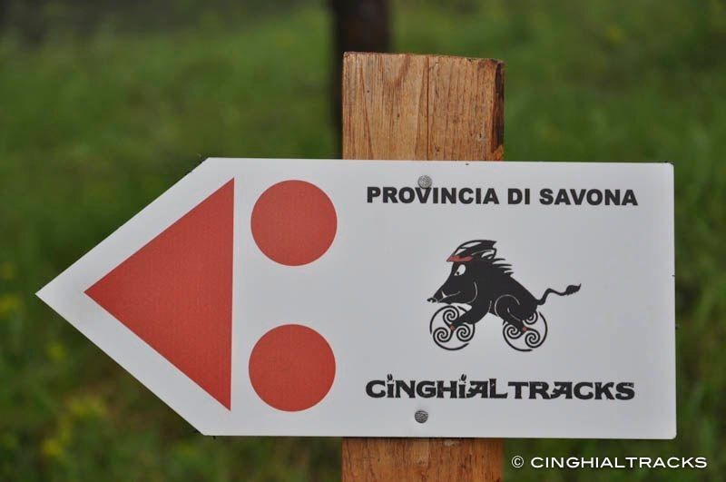
Putevi
Pokus
Opće informacije
Aussichtsreich
Weitere Touren in den Regionen
-
Savona und Umgebung
191
-
Savona
39