
© Visit Zuid Limburg - ProShots

© Visit Zuid Limburg - Rob

© Visit Zuid Limburg

© Borowski

© Grünmetropole e.V. - Dominik Ketz

© Grünmetropole e.V. - Dominik Ketz

© Grünmetropole e.V. - Dominik Ketz

© Grünmetropole e.V. - Dominik Ketz

© Grünmetropole e.V. - Dominik Ketz

© Grünmetropole e.V. - Dominik Ketz

- Kratak opis
-
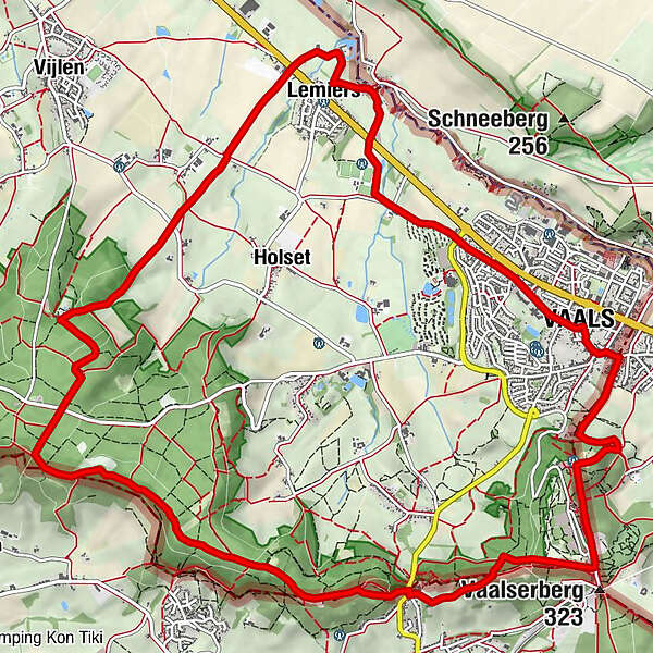
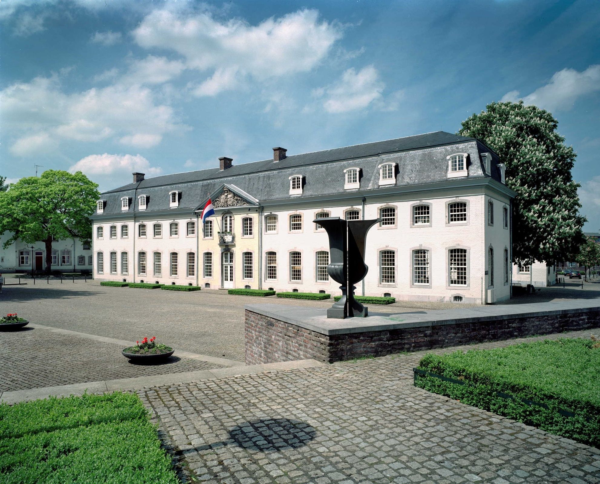
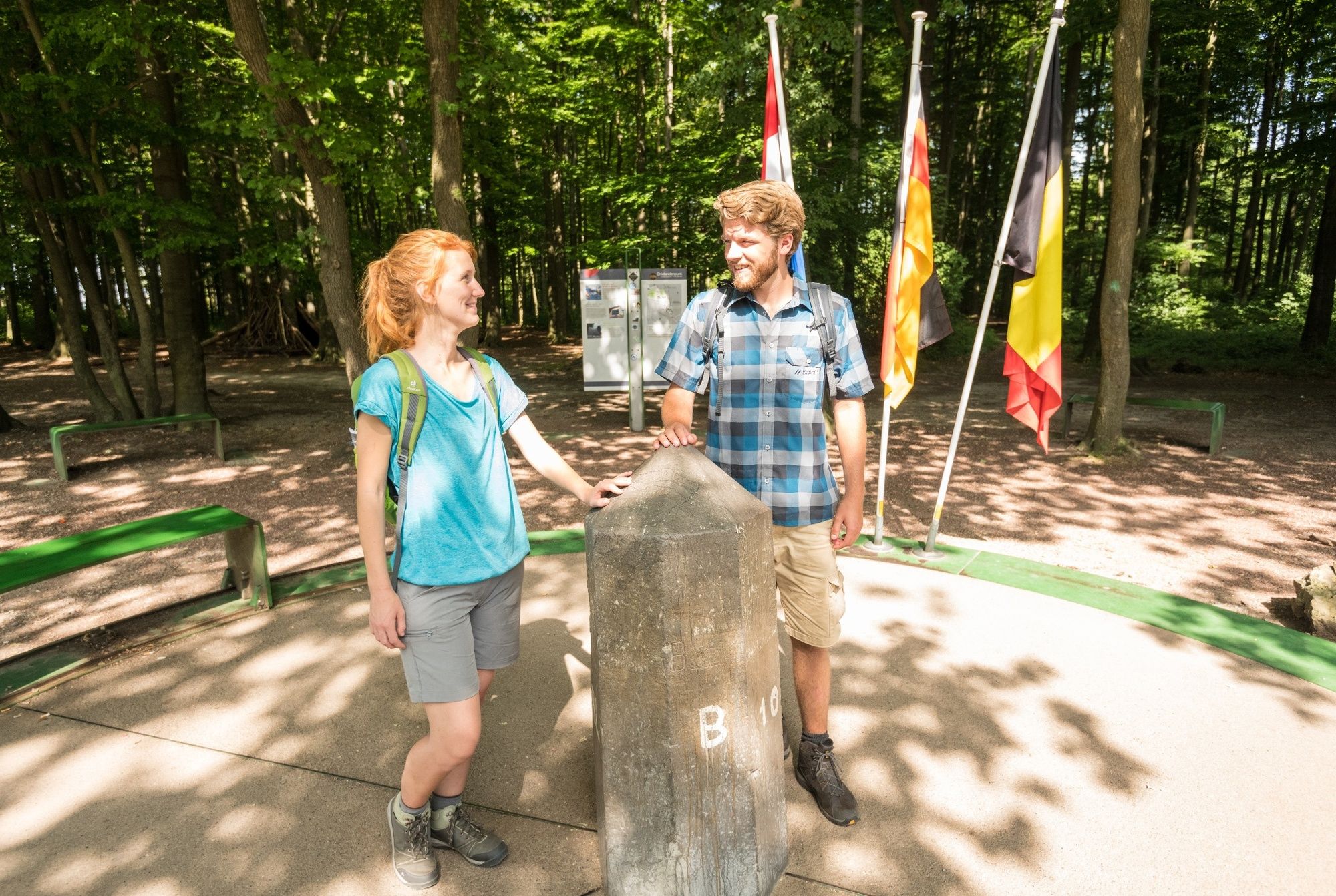
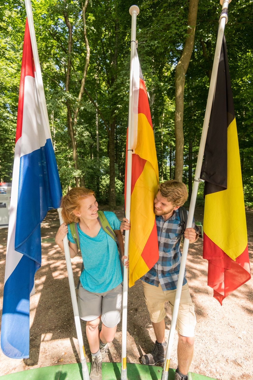
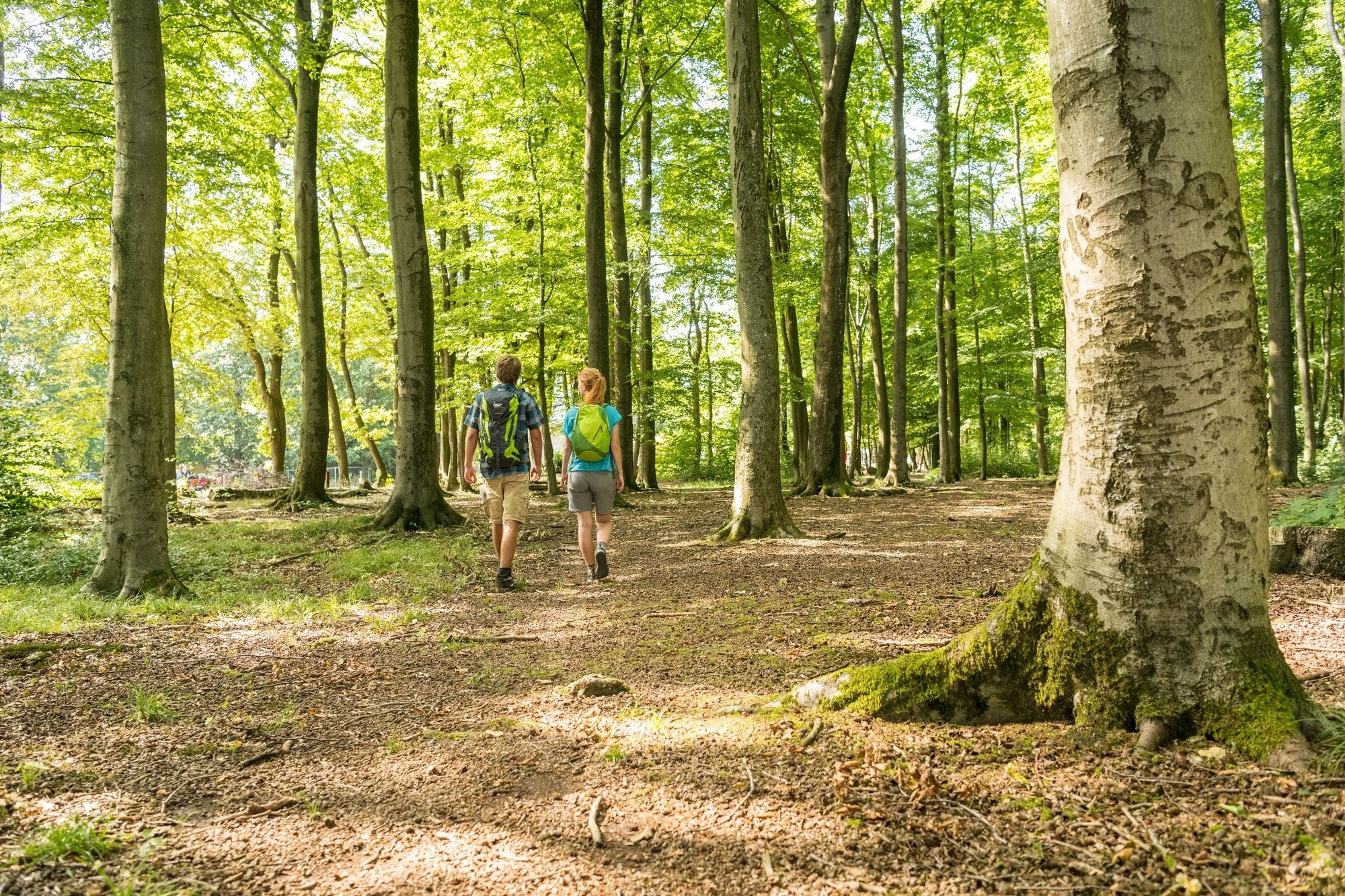
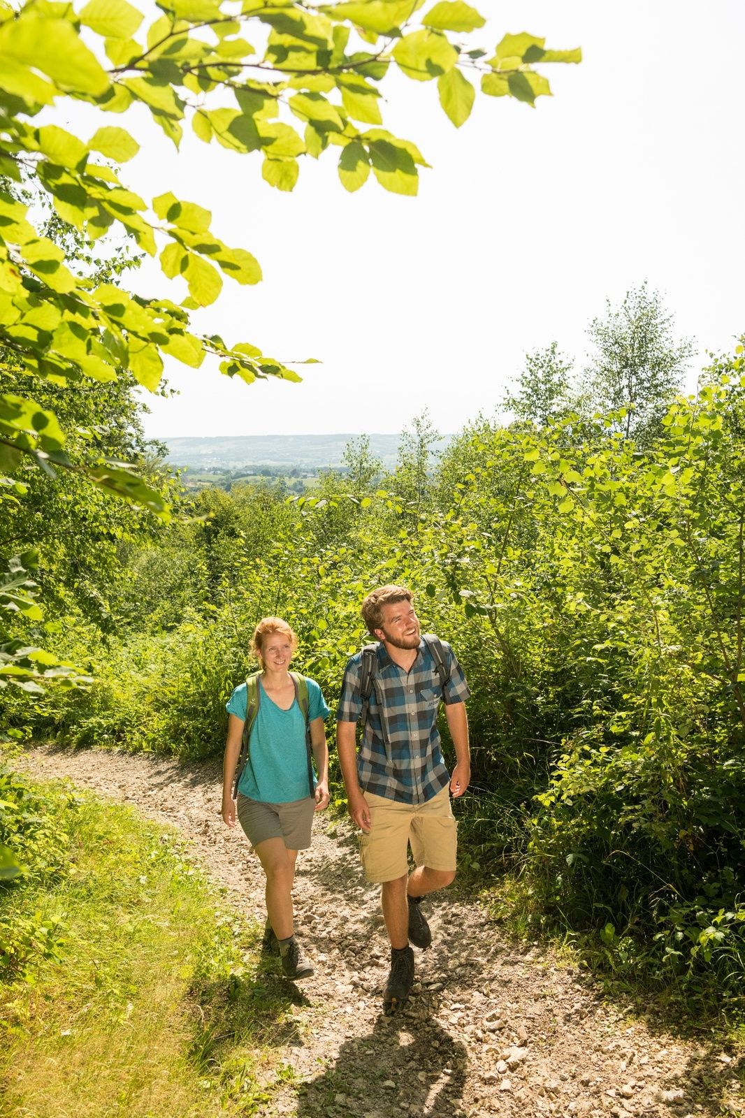
Vaals is an iconic spot in South Limburg. Not only is the town known for the Border Triangle and Vaalserberg hill, the highest point in the Netherlands, it is also at the centre of the glorious countryside of this border region.
- Teškoća
-
srednje
- Vrednovanje
-
- Wegverlauf
-
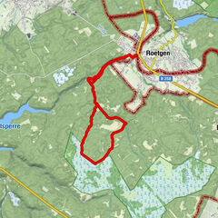
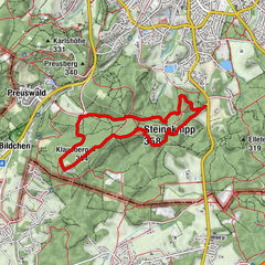
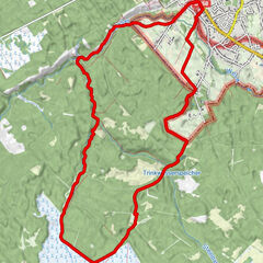
Vaals (198 m)Protestantische Kirche0,2 kmBlick auf 2 Länder1,1 kmTaverne de Grenssteen2,6 kmHarles10,2 kmDe Kornuiten van Koraal11,3 kmLemiers12,0 kmSint-Catharinakapel12,2 kmLemiers12,3 kmVaals (198 m)15,0 km
- Beste Jahreszeit
-
sijveljožutrasvilipsrpkolrujlisstupro
- Höchster Punkt
- 319 m
- Zielpunkt
-
Koningin Julianaplein 1A, 6291 AP Vaals
- Höhenprofil
-
 © outdooractive.com


- Autor
-
Die Tour Vaals Border Triangle Route GR6 wird von outdooractive.com bereitgestellt.
GPS Downloads


Opće informacije
Flora
Fauna
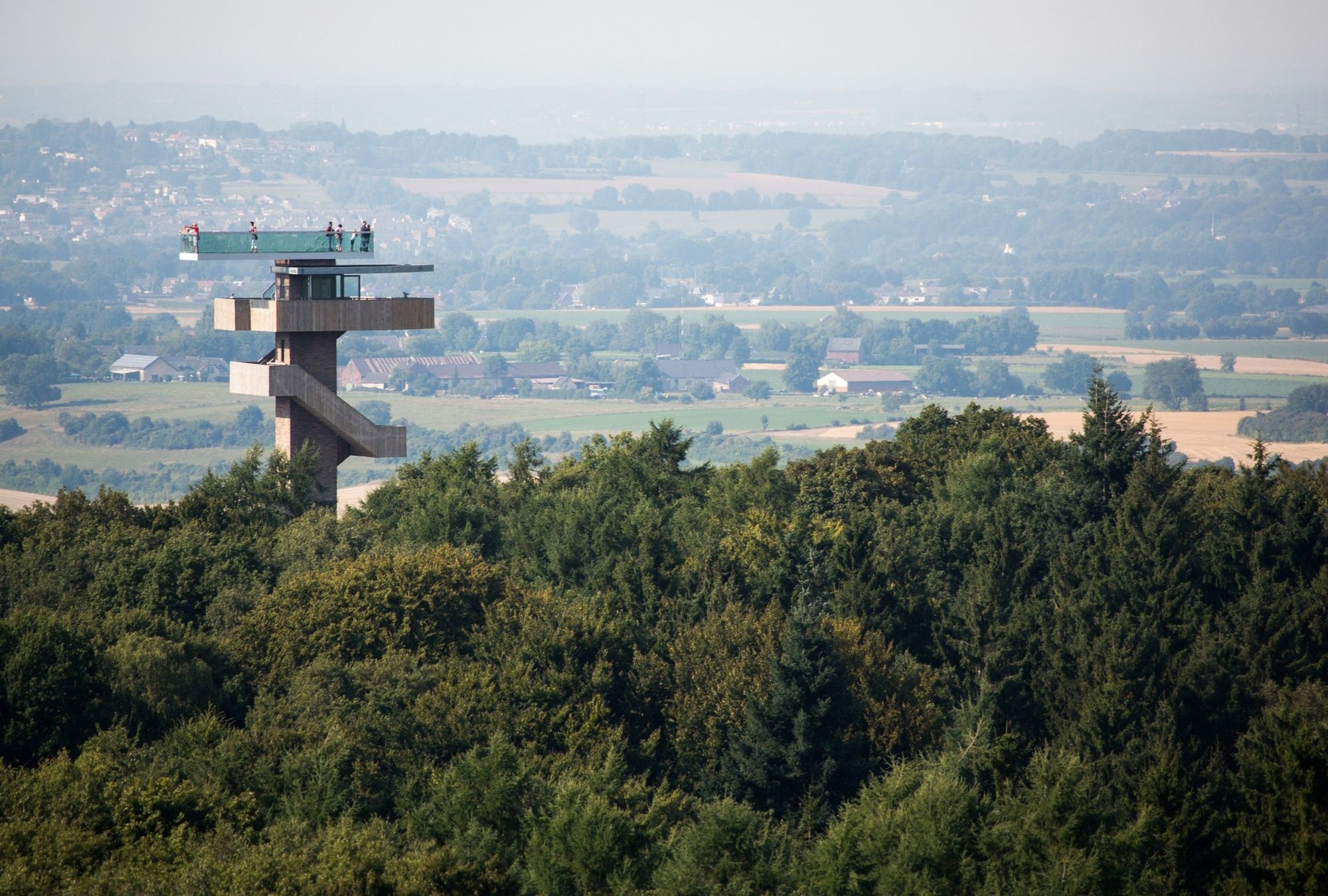
Aussichtsreich
Weitere Touren in den Regionen
-
Weserland / Belgisch - Limburg
376
-
Aachen
110