
© Visit Zuid Limburg

© Visit Zuid Limburg - Angelo Verbrugge

© Stadt Übach Palenberg

© Visit Zuid Limburg

- Kratak opis
-
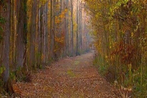
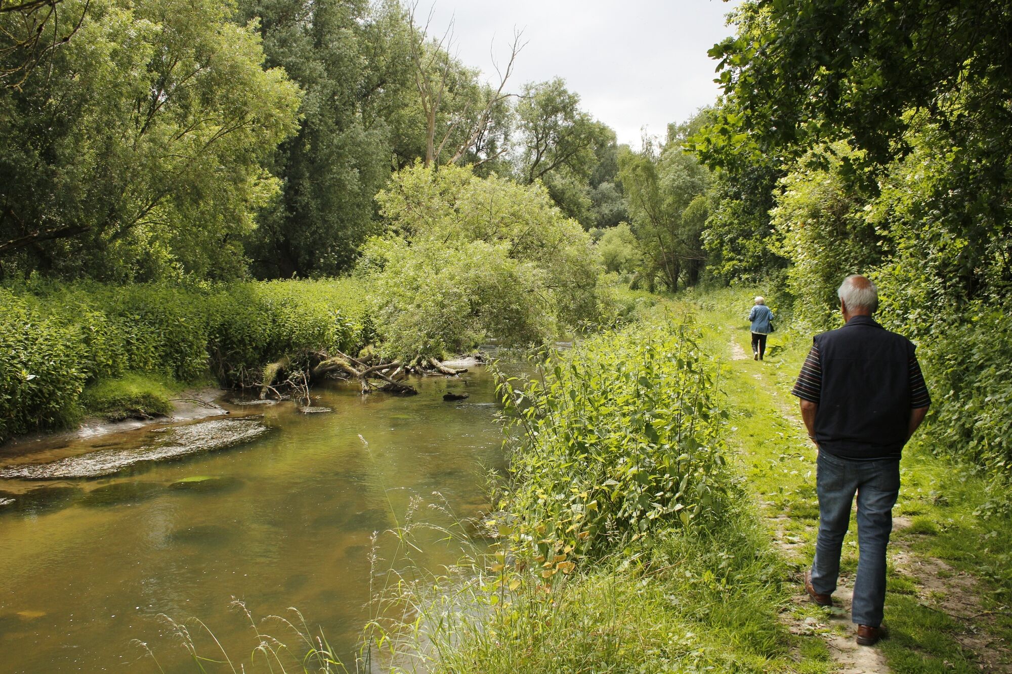
This is a route entirely on the east of South Limburg, close to the German border. This border route will surprise you, thanks to glorious countryside and some unique sights that are on the programme during the trip.
- Teškoća
-
srednje
- Vrednovanje
-
- Wegverlauf
-
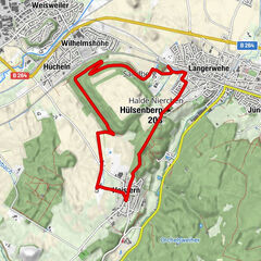
WarderkapelRimburg1,3 kmÜbach-Palenberg (110 m)1,6 kmDrievuldigheidskerk1,7 kmBroichhausen2,6 kmWarderkapel3,5 kmLandgraaf3,8 km
- Beste Jahreszeit
-
sijveljožutrasvilipsrpkolrujlisstupro
- Höchster Punkt
- 127 m
- Zielpunkt
-
Kerkveldweg 1, 6374 LE Landgraaf
- Höhenprofil
-
 © outdooractive.com


- Autor
-
Die Tour Foot trail near Waubach Landgraaf wird von outdooractive.com bereitgestellt.
GPS Downloads


Opće informacije
Flora
Fauna
Aussichtsreich
Weitere Touren in den Regionen