© Visit Éislek

© Visit Éislek

© Visit Éislek

© Visit Éislek

© Studio Frank Weber - Fränk Weber
© Visit Luxembourg - Dan Castiglia
© Visit Luxembourg - Dan Castiglia
© Visit Luxembourg - Dan Castiglia
© Visit Luxembourg - Dan Castiglia
© Visit Luxembourg - Visit Éislek

- Kratak opis
-
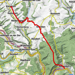
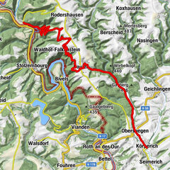
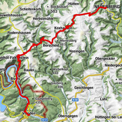
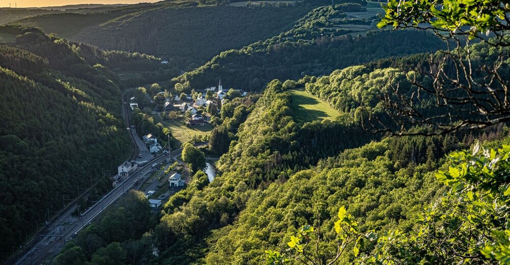
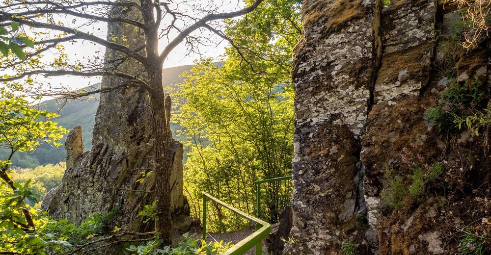
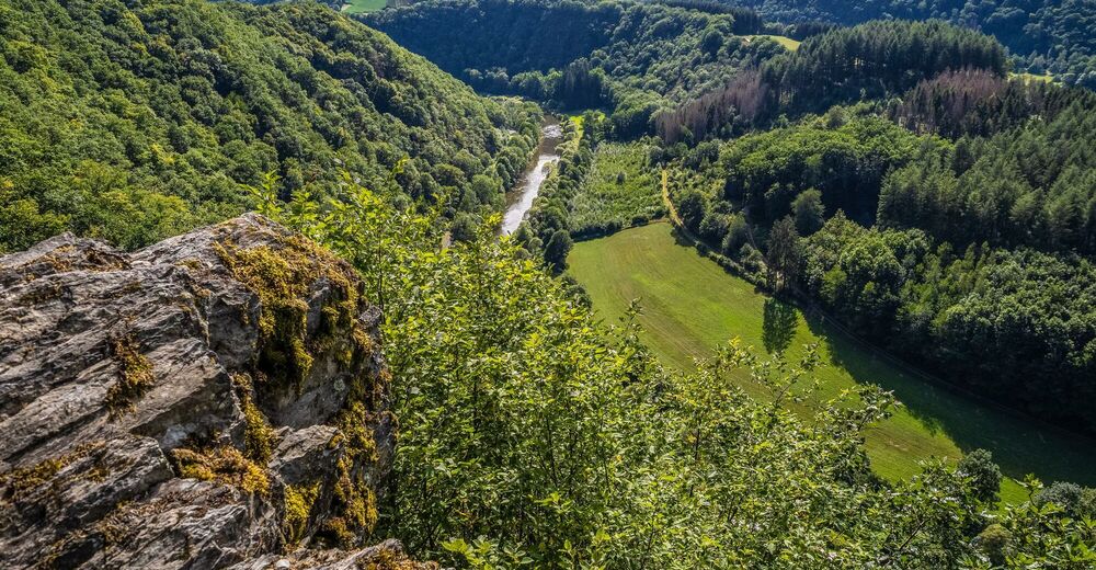
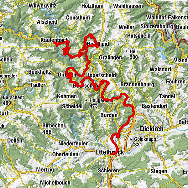
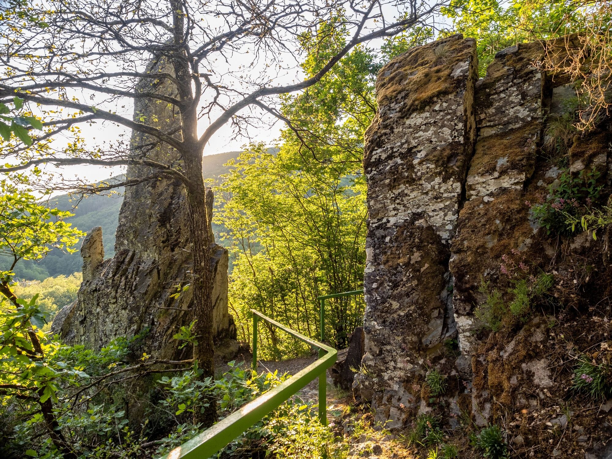
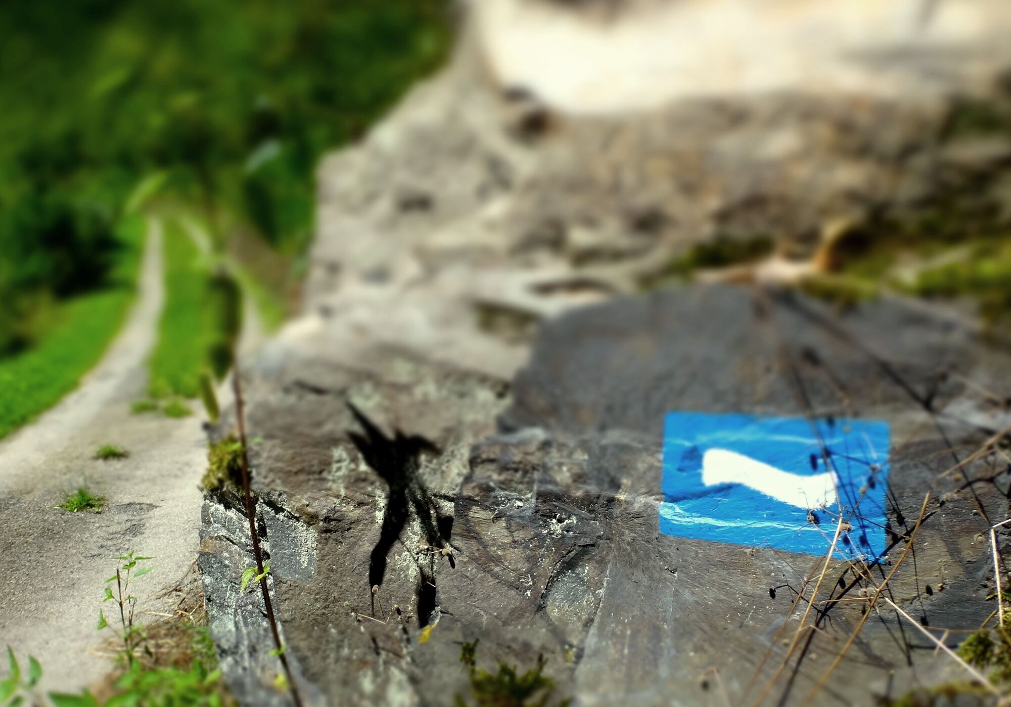
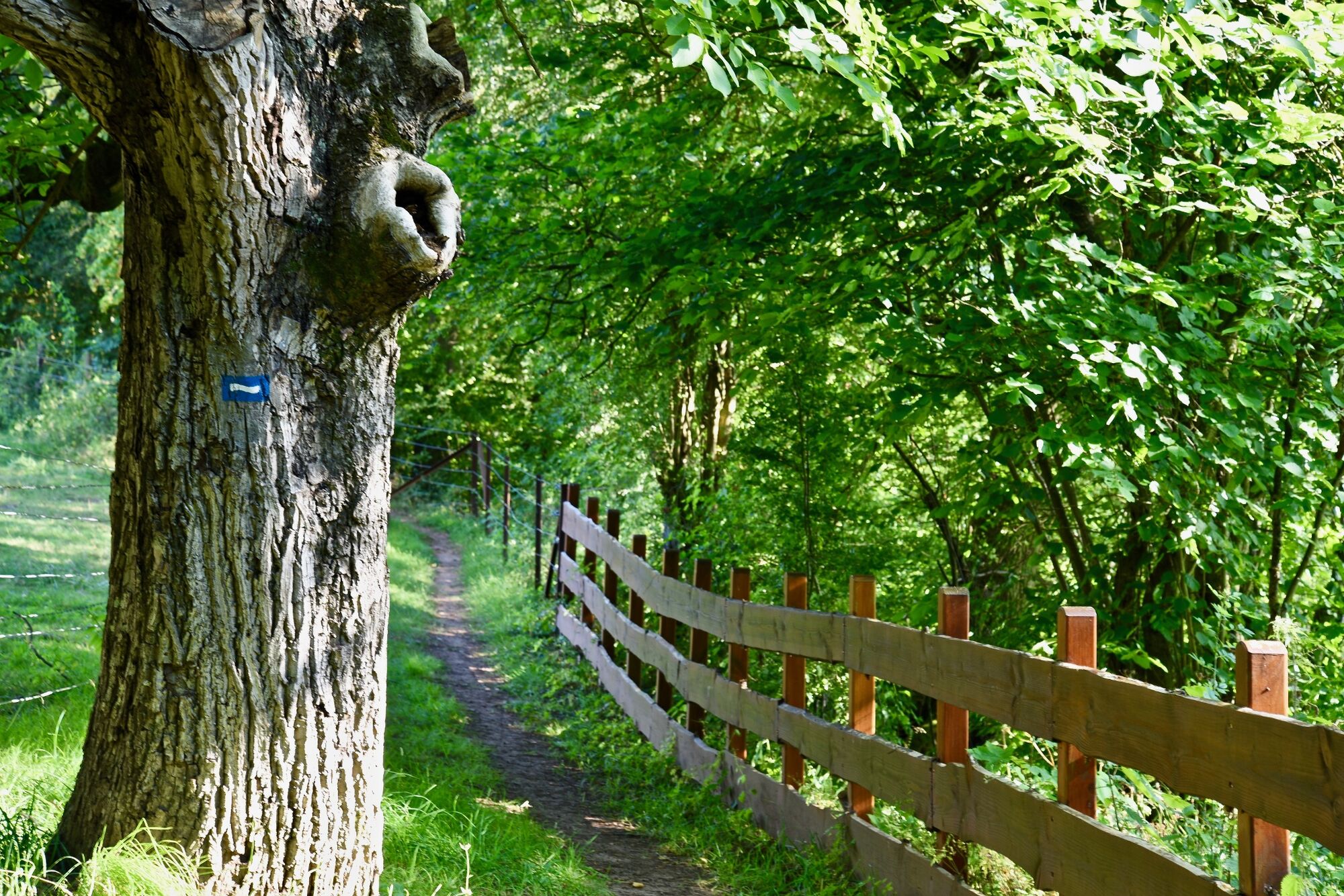
From Ettelbruck to Kautenbach, the "Escapardenne Lee Trail" runs through dense forest landscapes and quiet river valleys, always close to the railway connection. The long-distance trail offers you breathtaking landscapes combined with cultural highlights of the region.
- Teškoća
-
teška
- Vrednovanje
-
- Wegverlauf
-
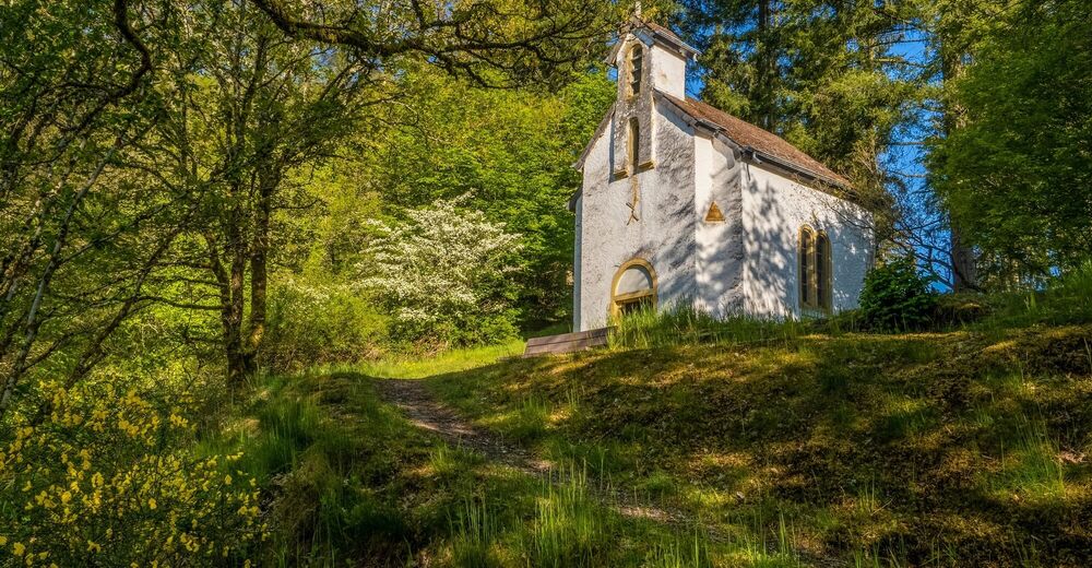
EttelbrückEttelbruck0,7 kmErpeldingen an der Sauer3,8 kmFridhaff7,9 kmPredigtstuhl10,0 kmClosdelt11,2 kmSaint-Wendelin14,3 kmMichelau14,5 kmViewpoint on the Sure16,3 kmGringlay17,3 kmLipperscheid17,8 kmMoulin de Bourscheid18,4 kmBourscheid-Plage19,4 kmFischeiderlee21,5 kmBurscheid23,7 kmDirbach28,3 kmDirbach-Plage28,4 kmAuberge de la Sûre28,4 kmGoebelsmühle31,9 kmAuf Hoschteraal32,1 kmSchlindermanderscheid34,0 kmUnterschlinder34,4 kmHoscheid38,1 kmHiwel (496 m)38,3 kmOberschlinder42,2 kmChapelle Sainte-Kunigunde42,3 kmPoint de vue "Hoflee"46,1 kmHoflee46,7 kmKopp (434 m)50,3 kmUeweschlaed51,8 kmBomm52,1 kmKautenbach52,8 kmSaint-Bernard52,9 kmHuberty52,9 kmKautenbach53,9 km
- Beste Jahreszeit
-
sijveljožutrasvilipsrpkolrujlisstupro
- Höchster Punkt
- 501 m
- Zielpunkt
-
Kautenbach
- Höhenprofil
-
 © outdooractive.com


- Autor
-
Die Tour Escapardenne Lee Trail wird von outdooractive.com bereitgestellt.
GPS Downloads


Opće informacije
Einkehrmöglichkeit
Kulturell/Historisch
Aussichtsreich
Weitere Touren in den Regionen
-
Eifel/ Rheinland-Pfalz
1057
-
Guttland
413
-
Bourscheid
163