
- Kratak opis
-
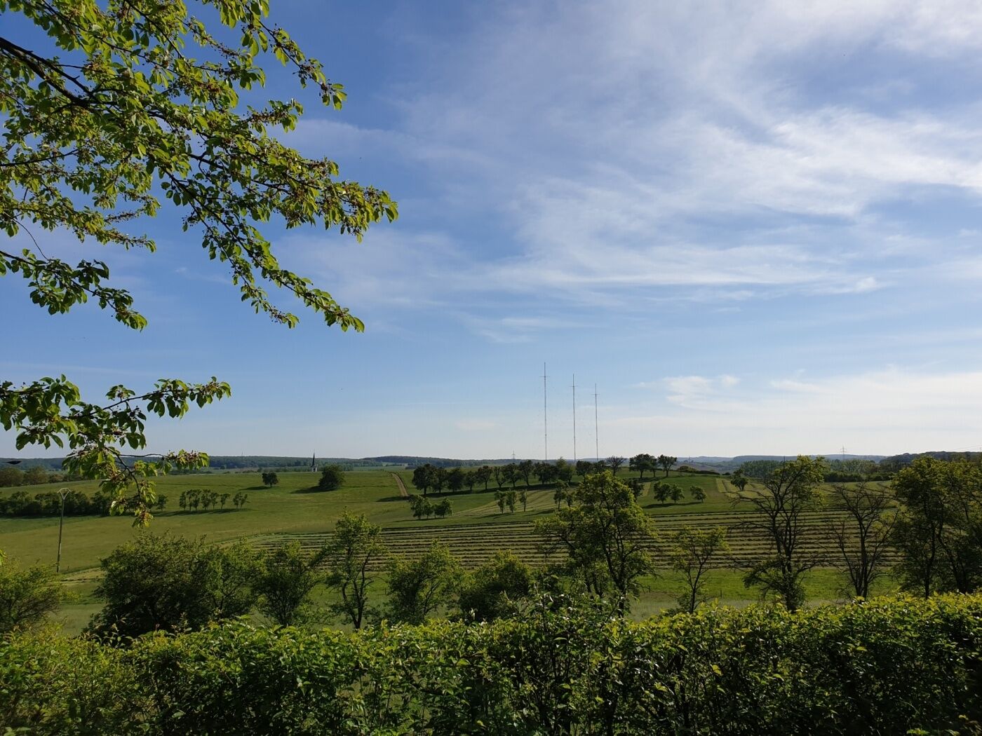
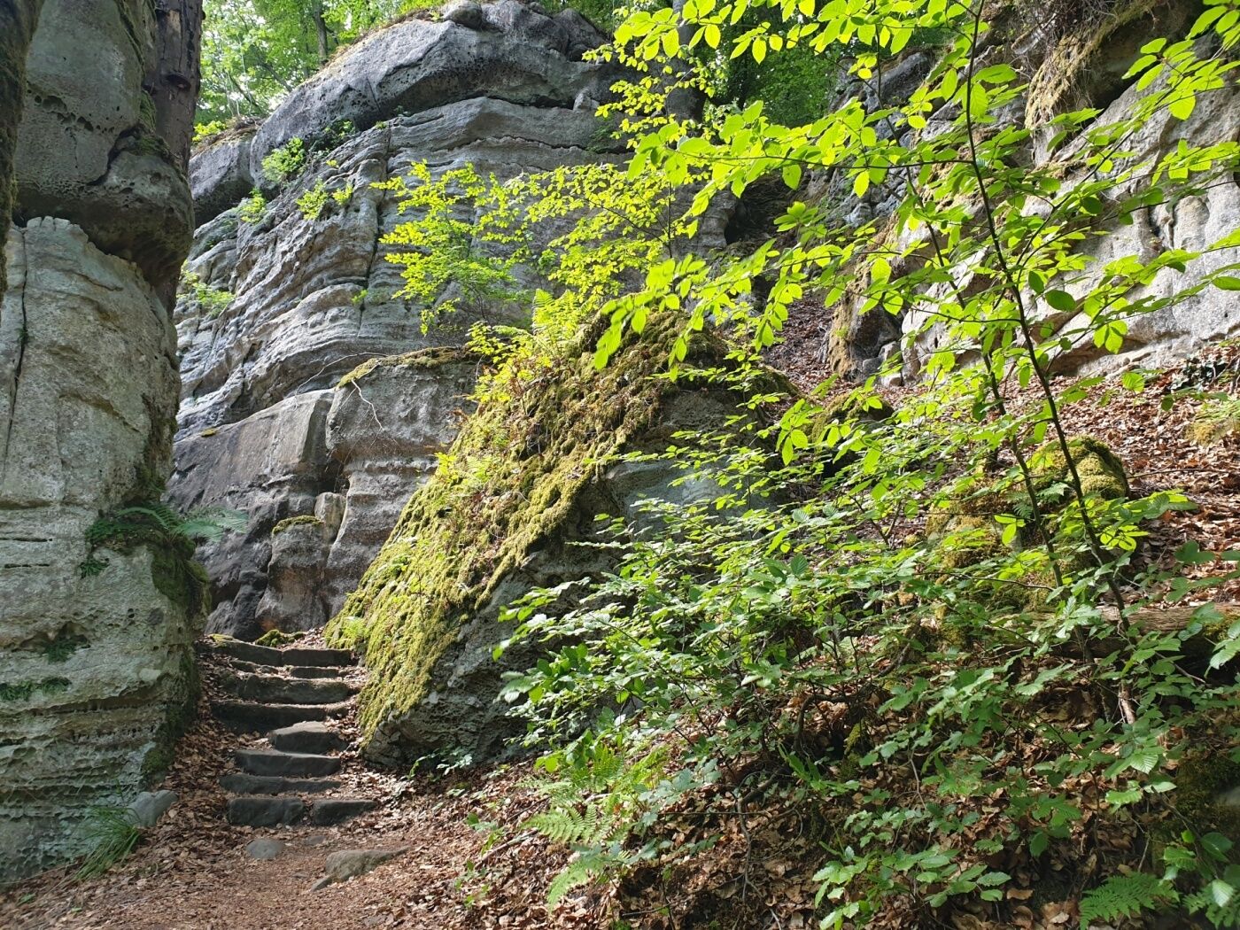
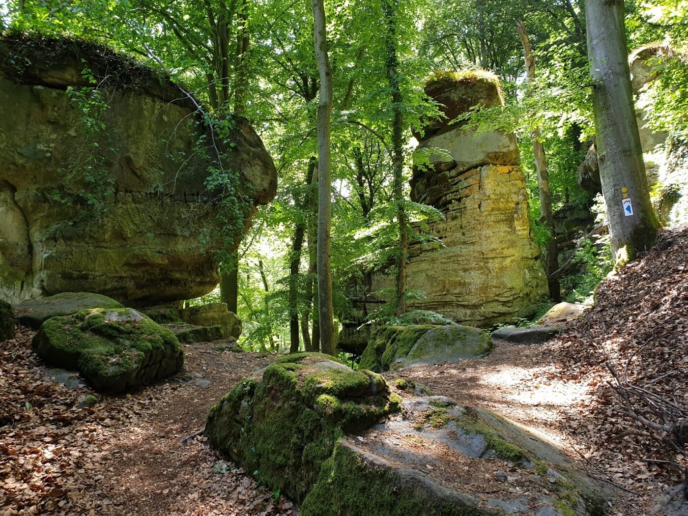
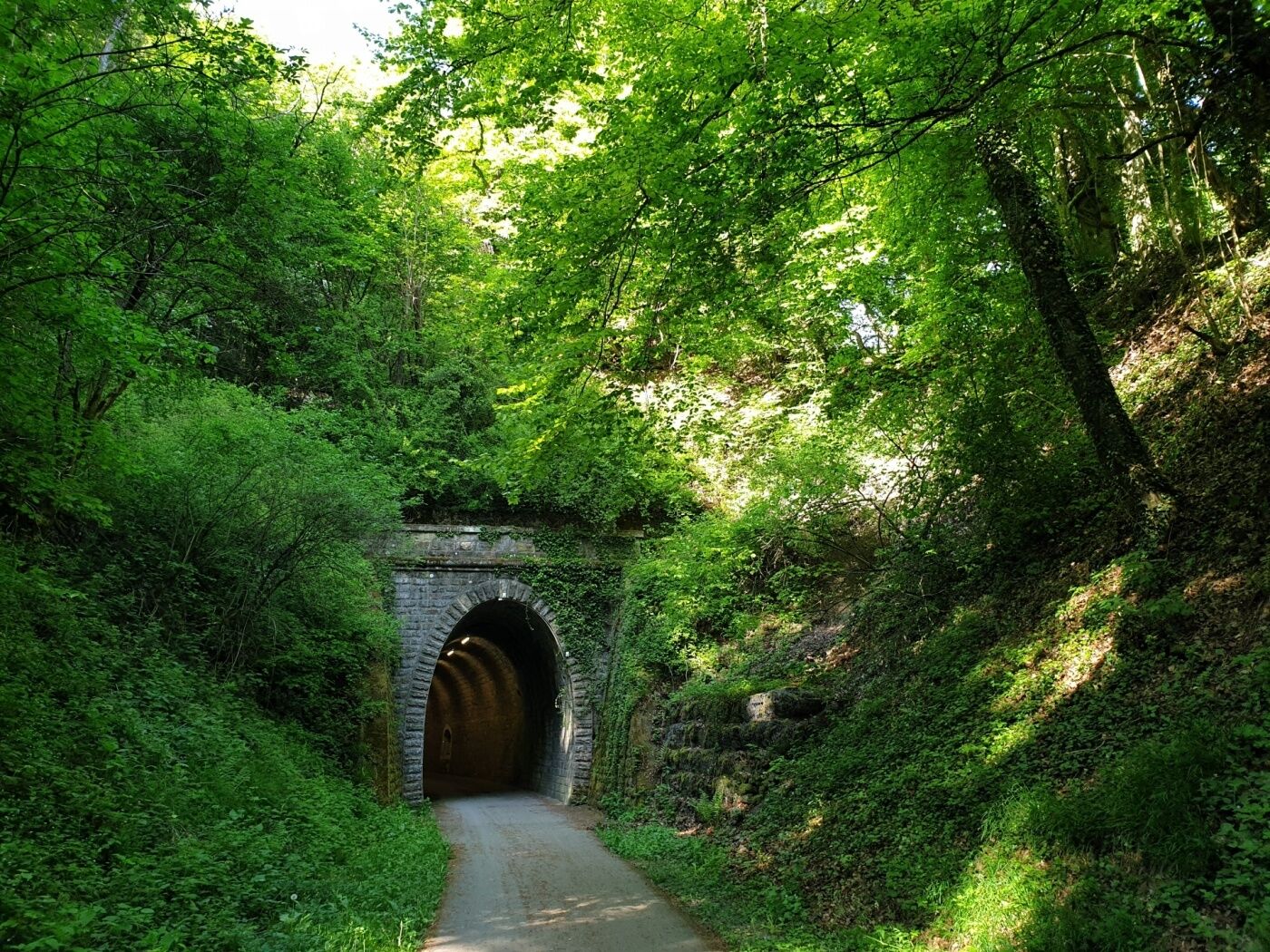
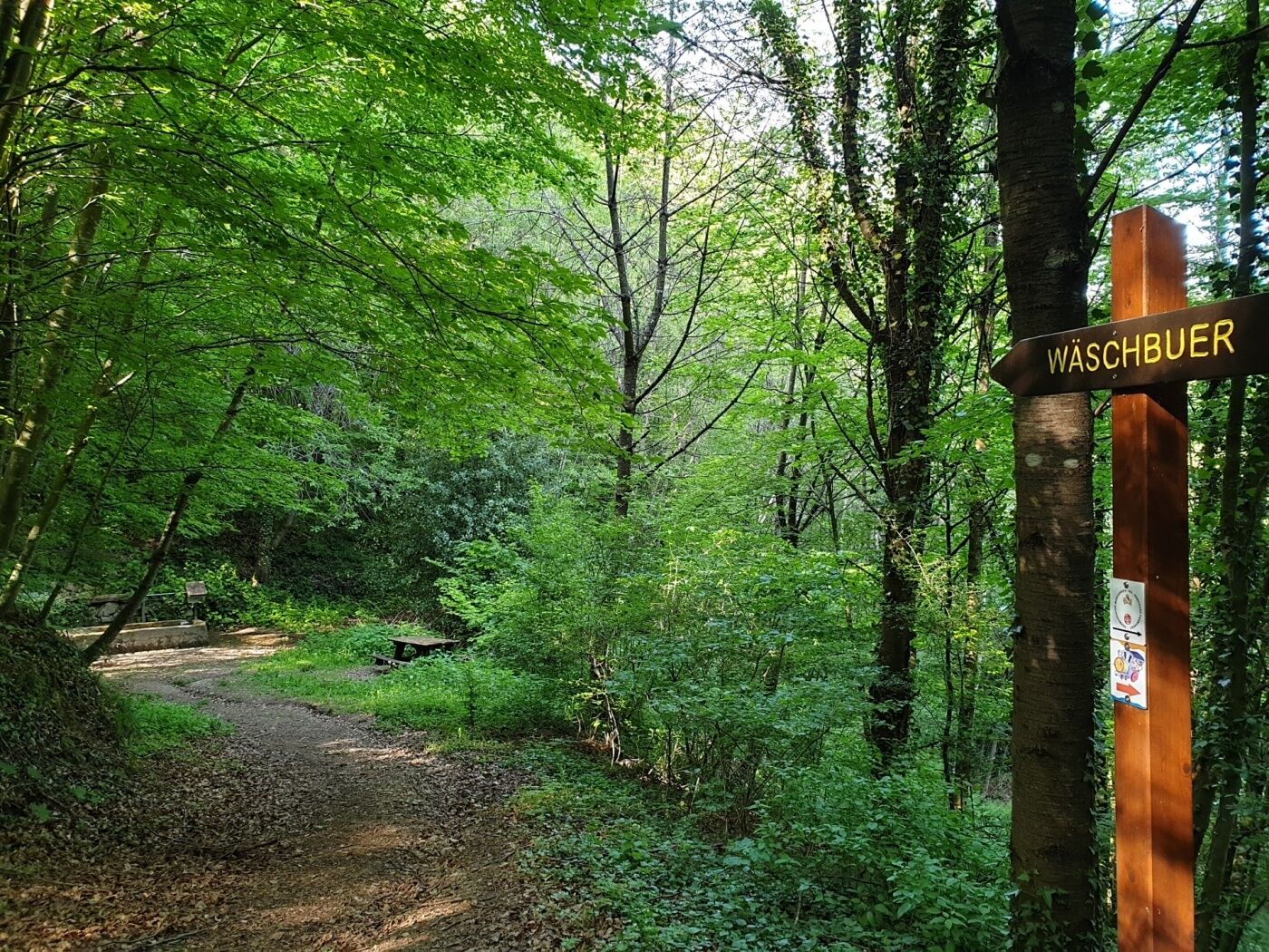
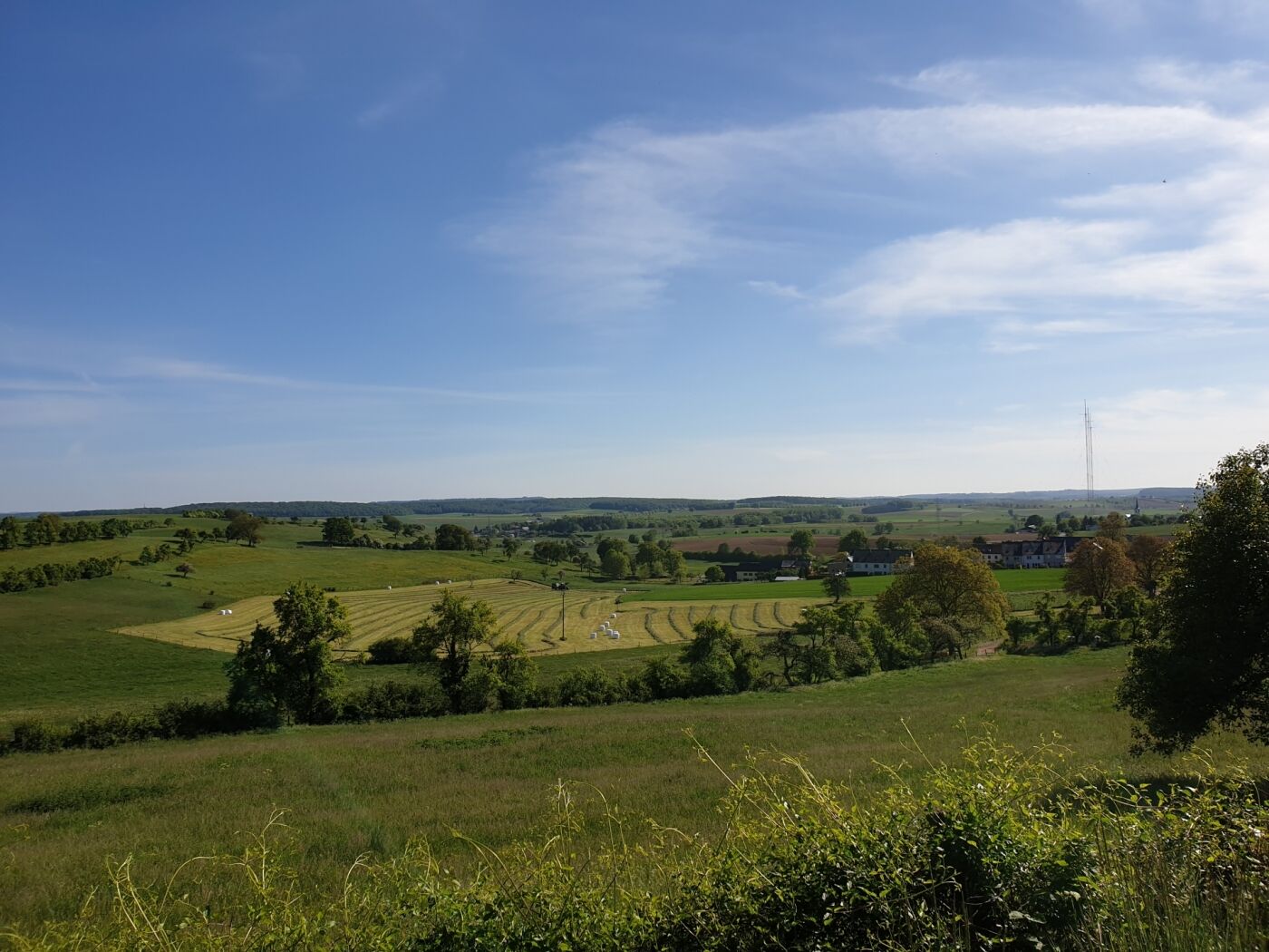
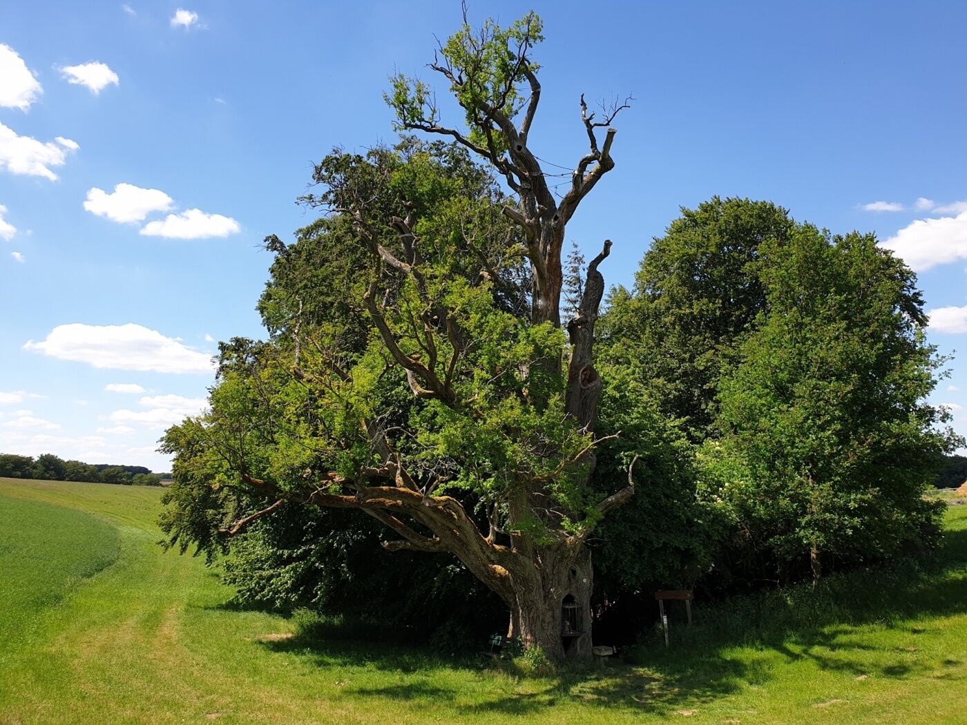
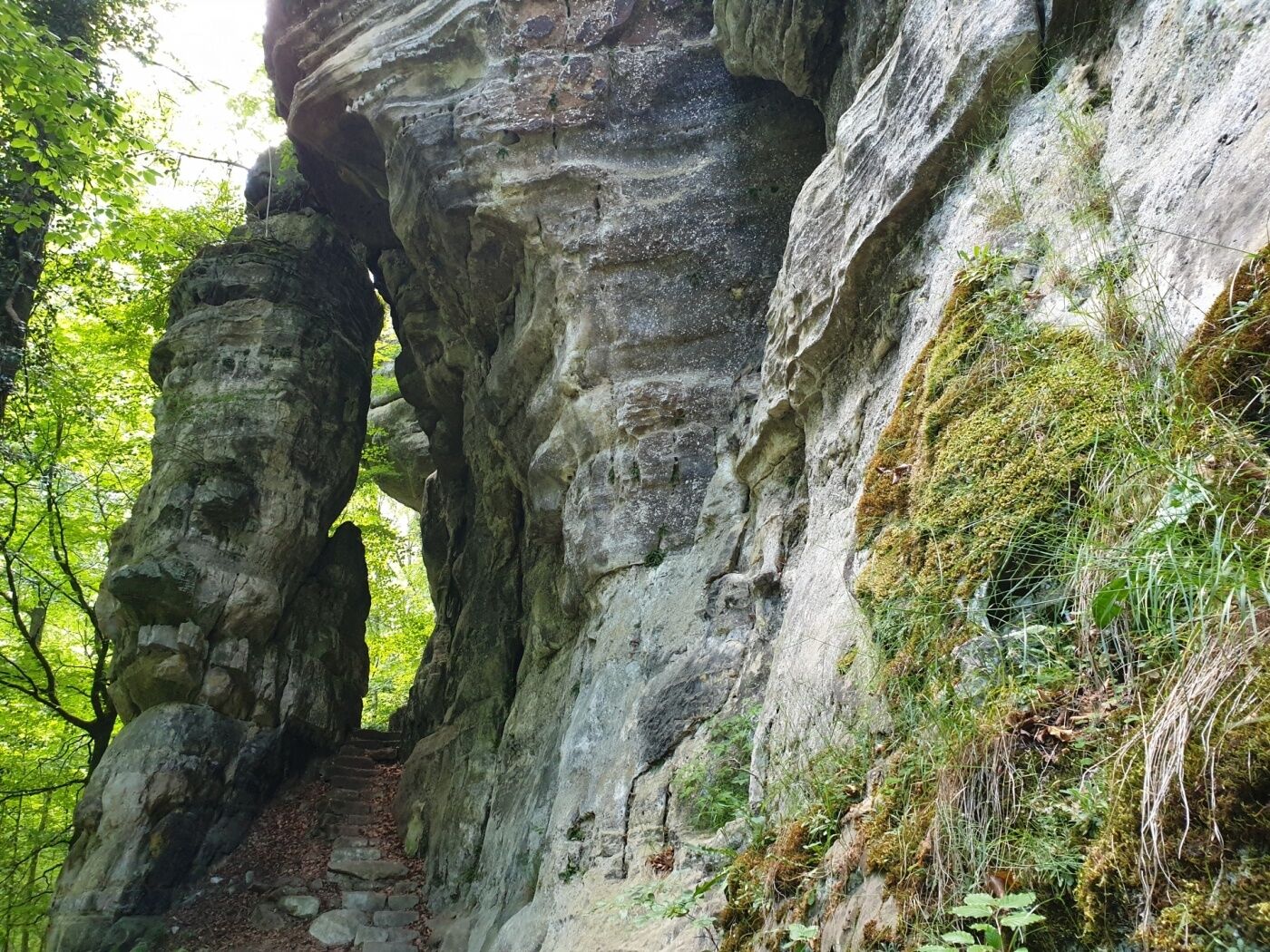
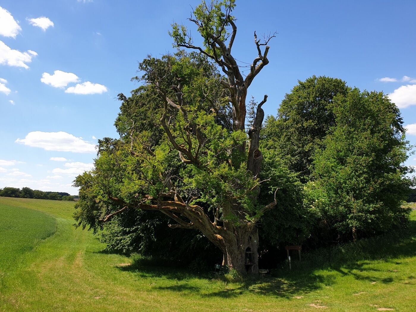
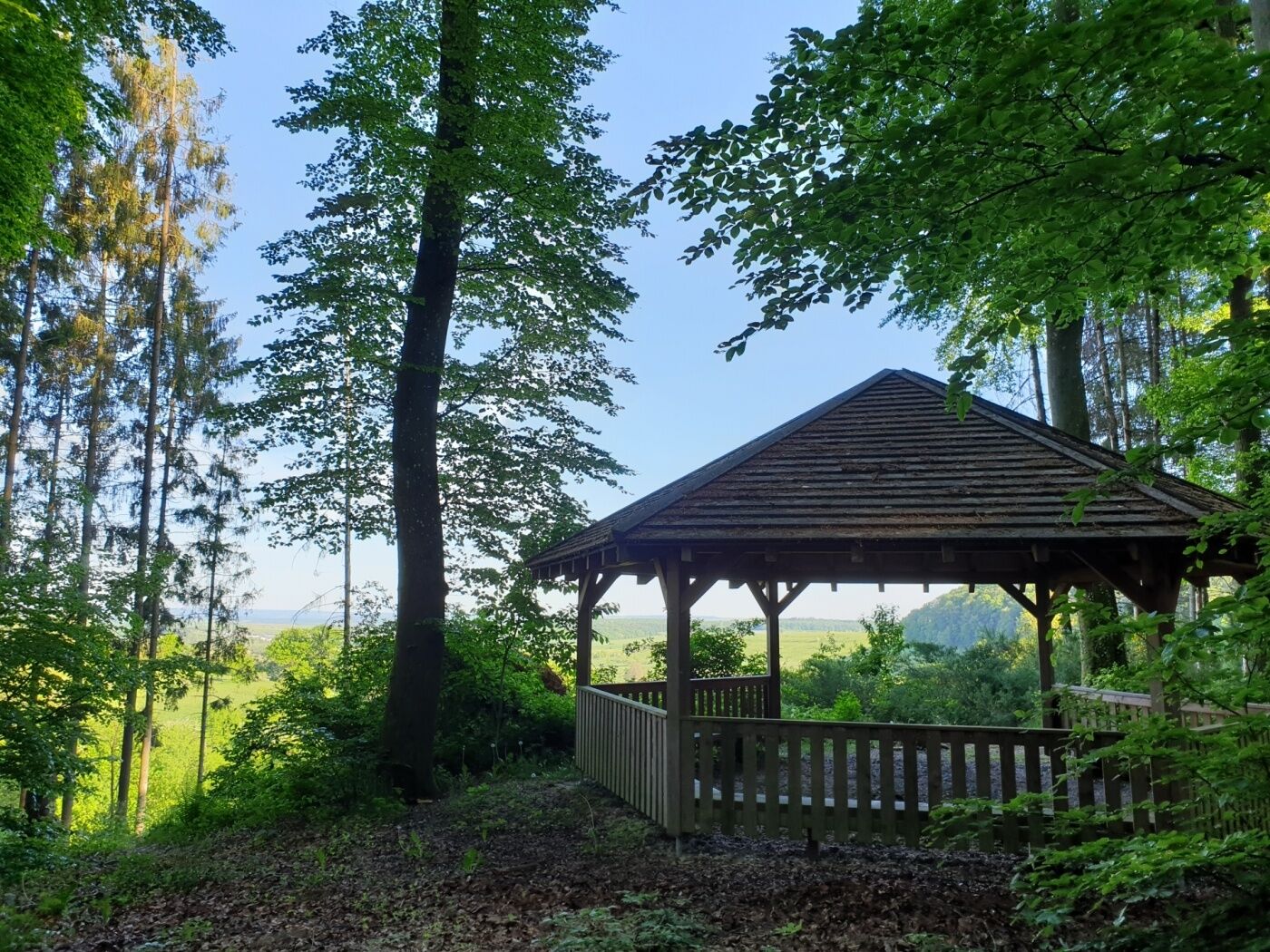
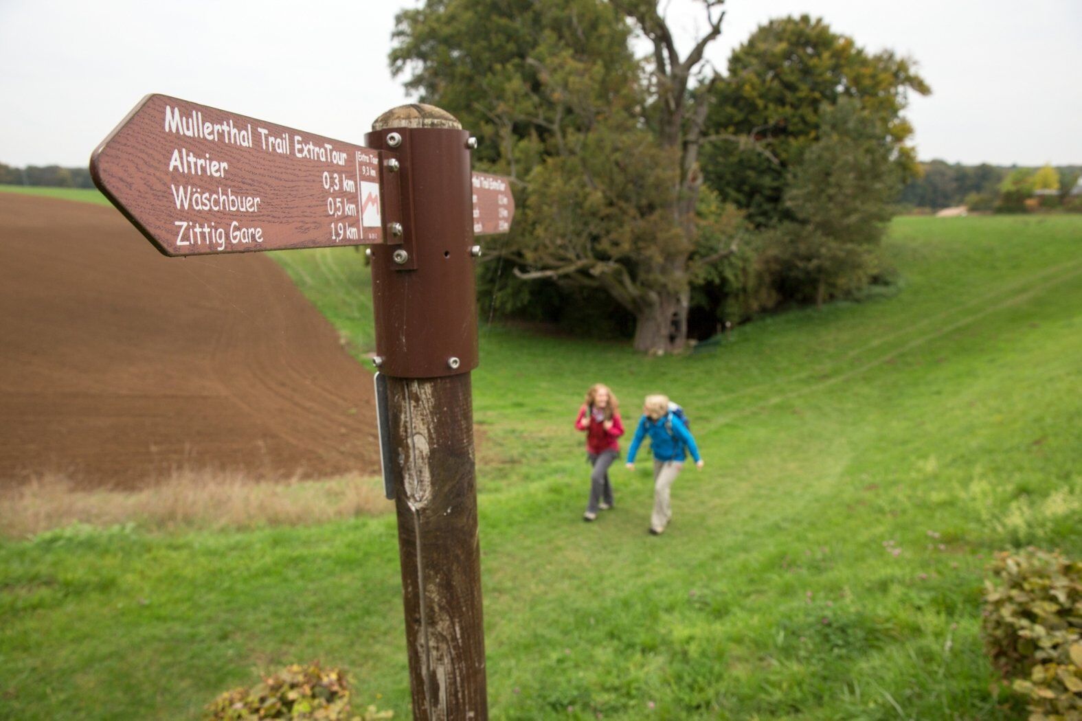
The Mullerthal Trail offers four smaller tracks - the ExtraTours - which can also be characterized as very attractive hiking tracks. They can be considered as departures as well as additional tours when all the other hikes have been undertaken already.
- Teškoća
-
srednje
- Vrednovanje
-
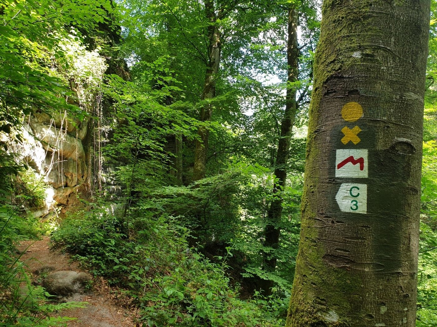
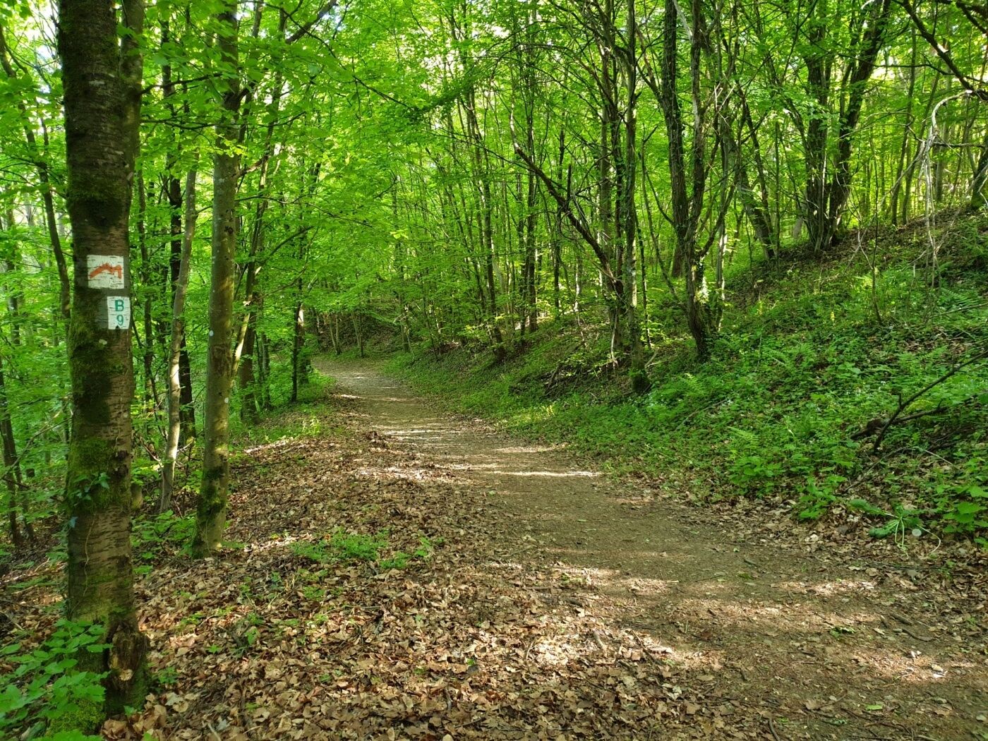
- Wegverlauf
-
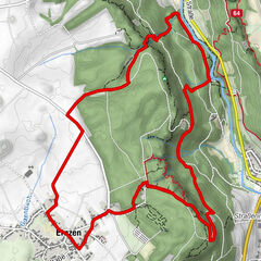
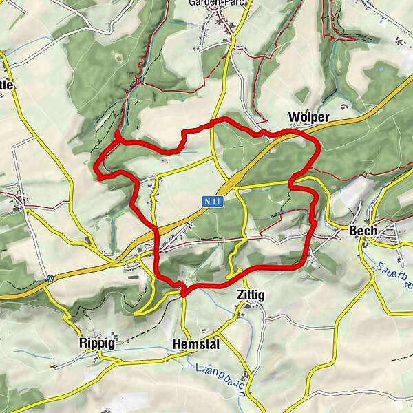
Becher GareWolper1,5 kmHersberg5,3 kmAltrier6,4 kmZittig7,9 kmBecher Gare9,0 km
- Beste Jahreszeit
-
sijveljožutrasvilipsrpkolrujlisstupro
- Höchster Punkt
- 394 m
- Zielpunkt
-
Bech: Becher Gare or Altrier: Centre
- Höhenprofil
-
 © outdooractive.com
- Autor
-
Die Tour Mullerthal Trail ExtraTour C wird von outdooractive.com bereitgestellt.
GPS Downloads


Opće informacije
Einkehrmöglichkeit
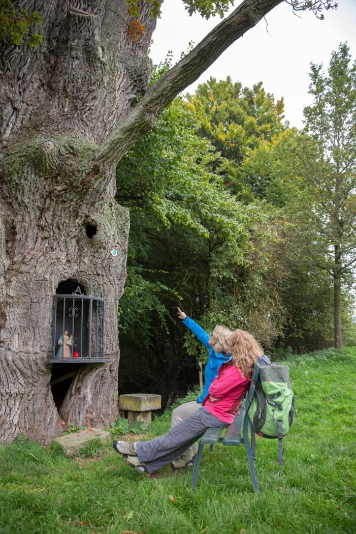
Kulturell/Historisch
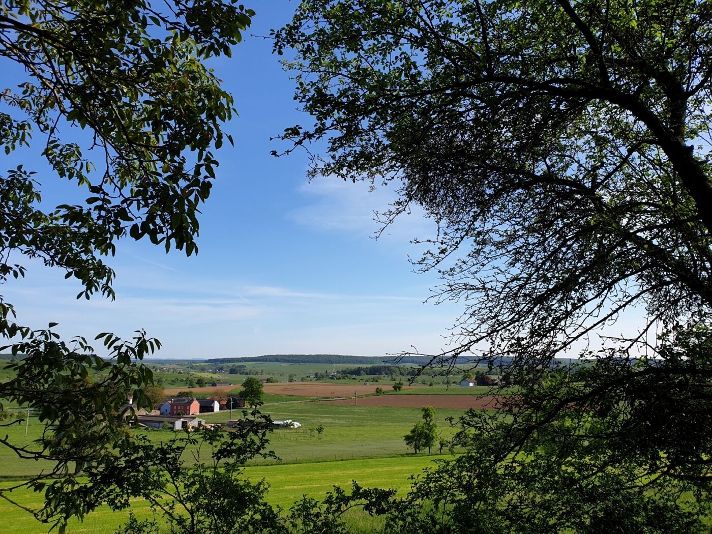
Aussichtsreich
Weitere Touren in den Regionen
-
Müllerthal
548
-
Betzdorf
155