


- Kratak opis
-
Attention! Due to construction work, the hiking trail between the Heringer Millen and the Schiessentümpel has temporarily changed course. The Schiessentümpel can only be reached via a detour. Please follow the signposting on site or the course of the GPX, which can be downloaded here.
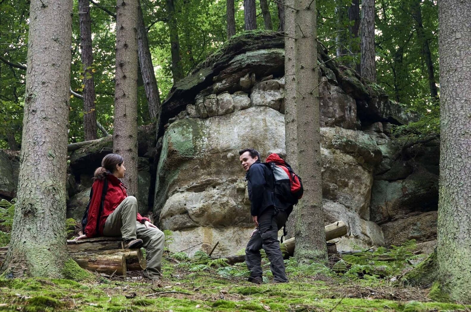
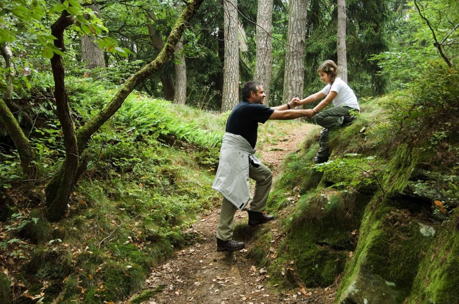
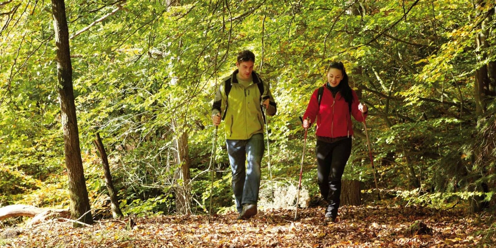
On this demanding tour you will come across the sites of two former mills, in the villages of Consdorf and Mullerthal. You hike past fascinating sandstone rock formations
- Teškoća
-
srednje
- Vrednovanje
-
- Wegverlauf
-
Goldfralay Felsformation1,6 kmEulenburg2,5 kmCascades du Mullerthal3,1 kmMüllerthal4,0 kmLe Cigalon4,1 kmConsdorf7,7 kmBurgkapp8,0 km
- Beste Jahreszeit
-
sijveljožutrasvilipsrpkolrujlisstupro
- Höchster Punkt
- 324 m
- Zielpunkt
-
Consdorf: Konstrëffermillen or Mullerthal: Rue des Moulins
- Höhenprofil
-
 © outdooractive.com
- Autor
-
Die Tour Auto-pédestre trail Consdorf - Mullerthal wird von outdooractive.com bereitgestellt.
GPS Downloads

Opće informacije
Einkehrmöglichkeit
Weitere Touren in den Regionen
-
Müllerthal
548
-
Betzdorf
154


