
- Kratak opis
-
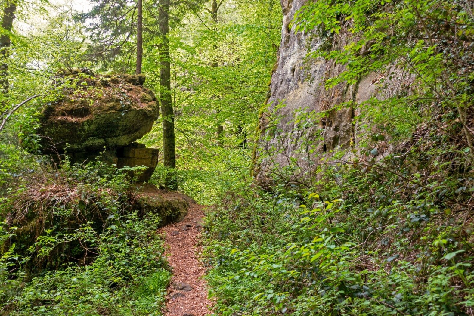
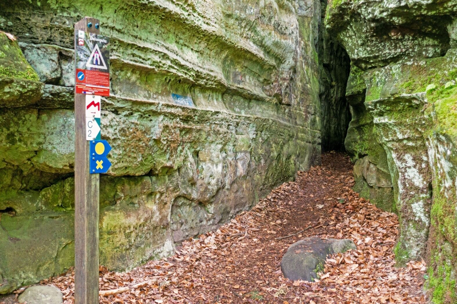
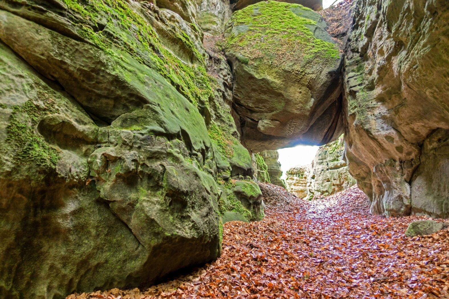
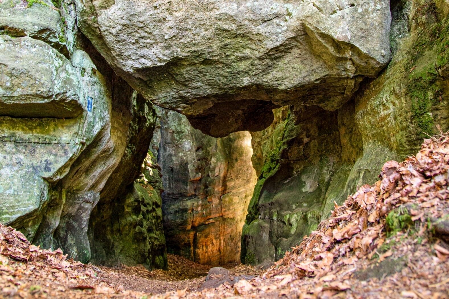
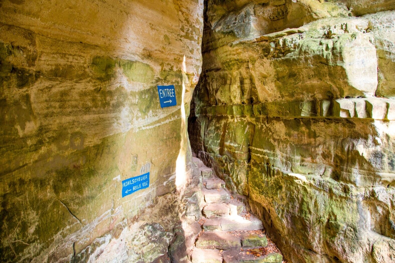
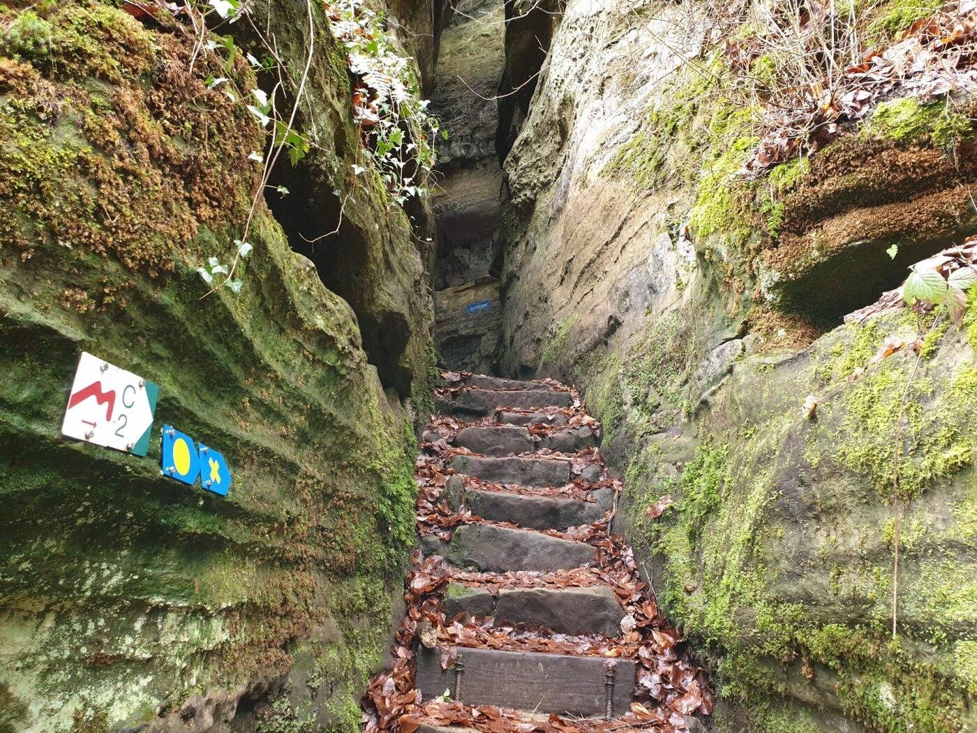
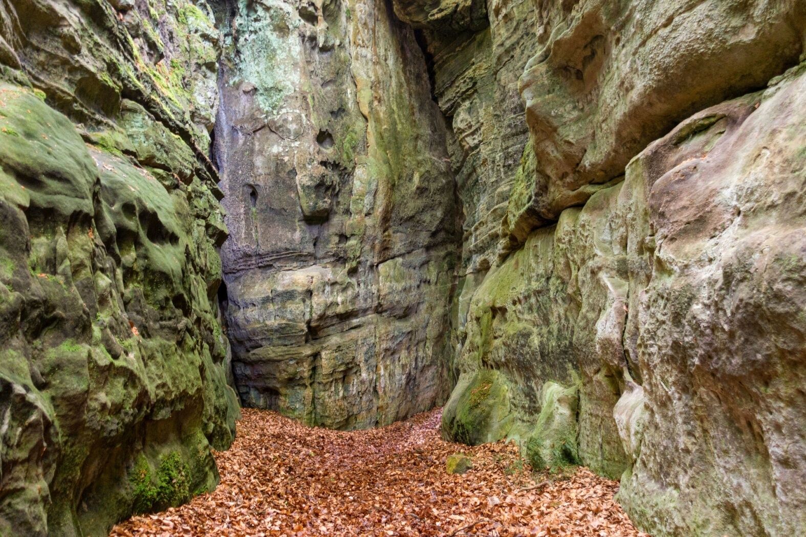
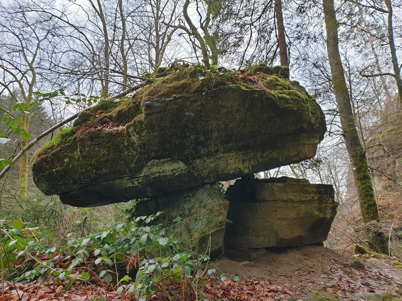
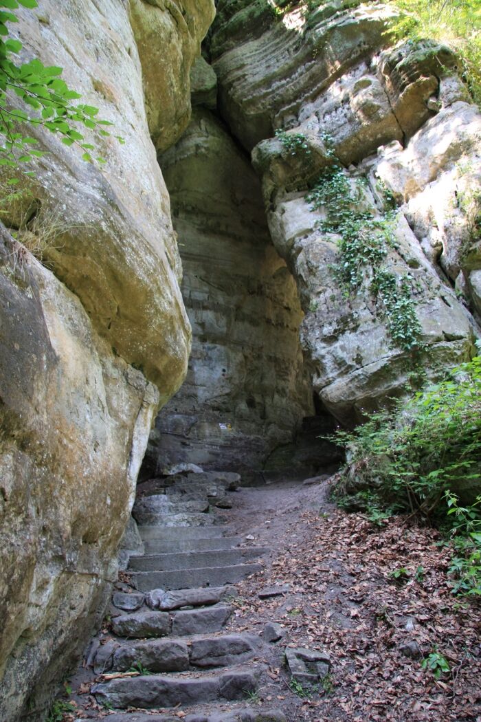
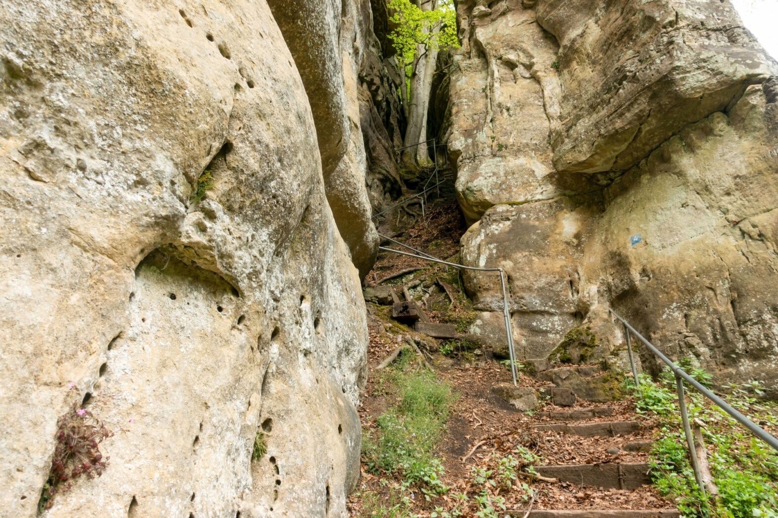
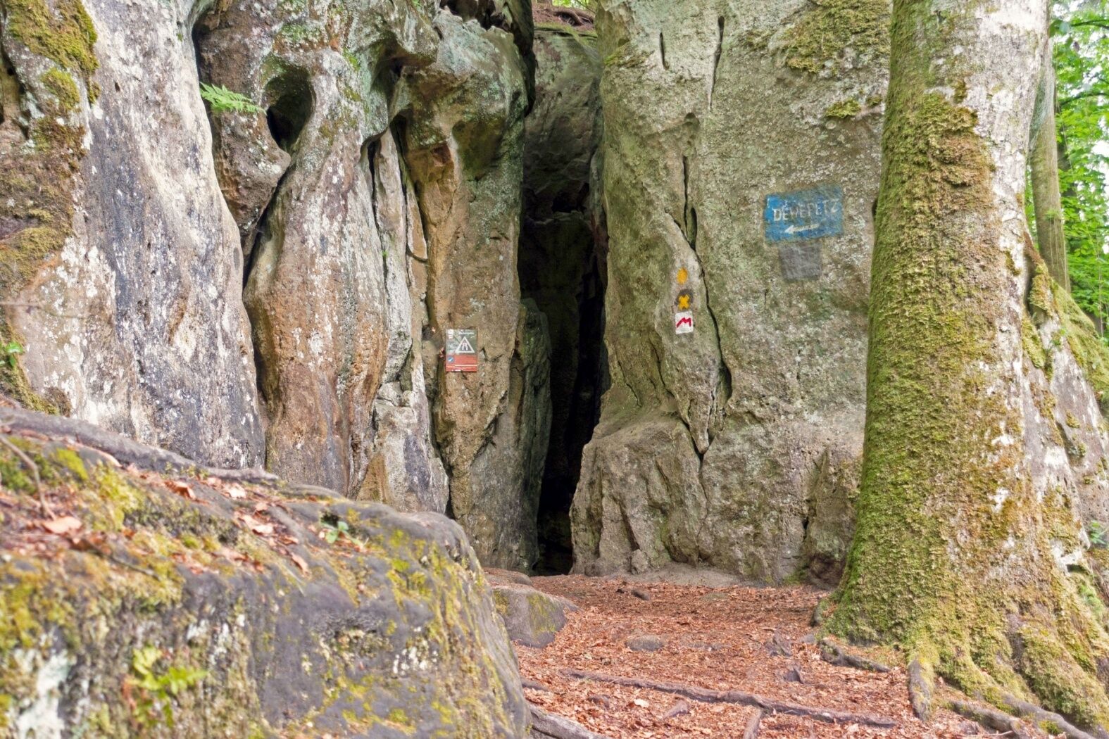
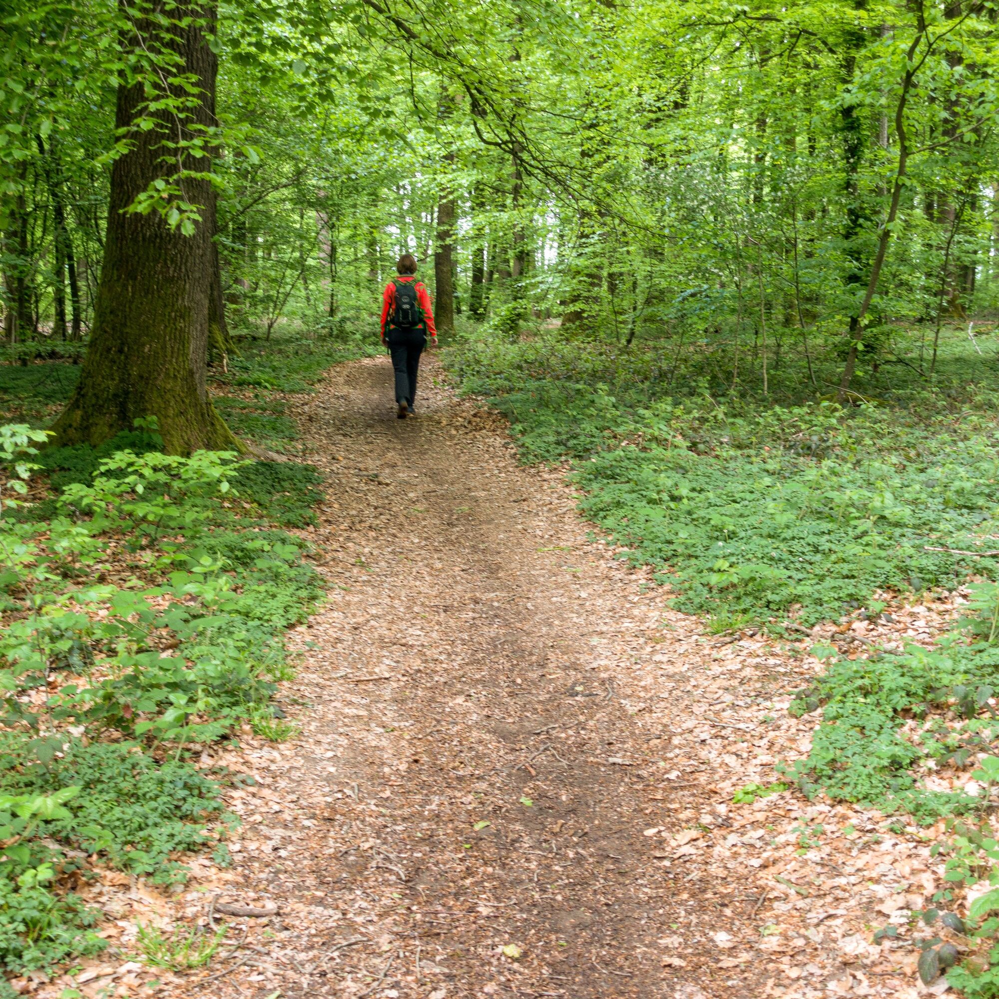
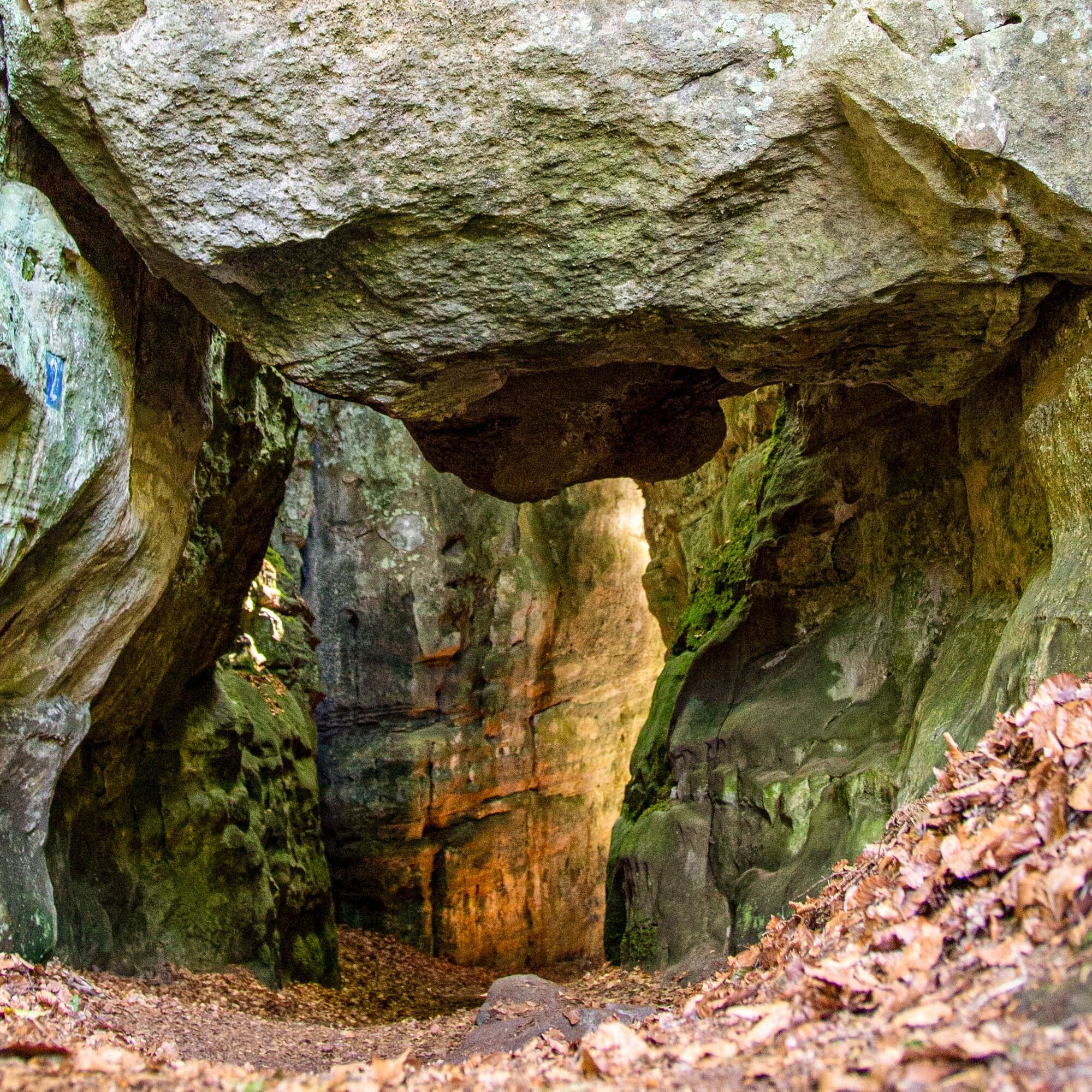
Adventure hike for big and small explorers: you will hike through partly pitch-dark and very narrow crevices.
- Teškoća
-
srednje
- Vrednovanje
-
- Wegverlauf
-
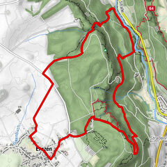
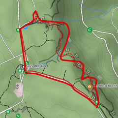
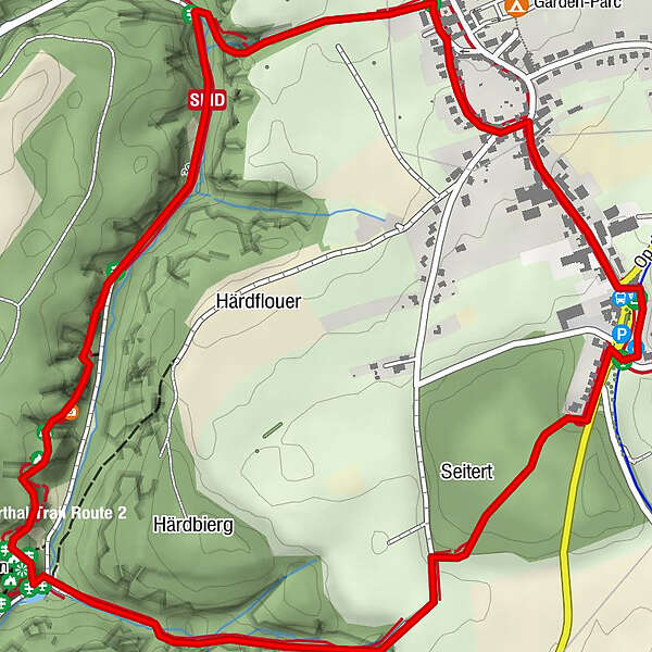
Consdorf0,8 kmFelsspalte Kohlscheuer2,7 km
- Beste Jahreszeit
-
sijveljožutrasvilipsrpkolrujlisstupro
- Höchster Punkt
- 361 m
- Zielpunkt
-
Consdorf: Rue Dielchen (Op der Gare)
- Höhenprofil
-
 © outdooractive.com

- Autor
-
Die Tour Local hiking trail - C2 wird von outdooractive.com bereitgestellt.
GPS Downloads


Weitere Touren in den Regionen
-
Müllerthal
548
-
Betzdorf
154