
- Kratak opis
-
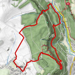
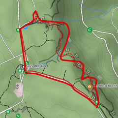
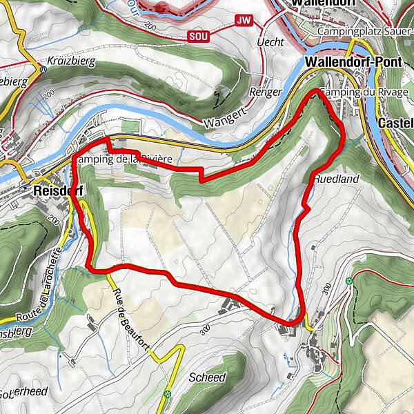
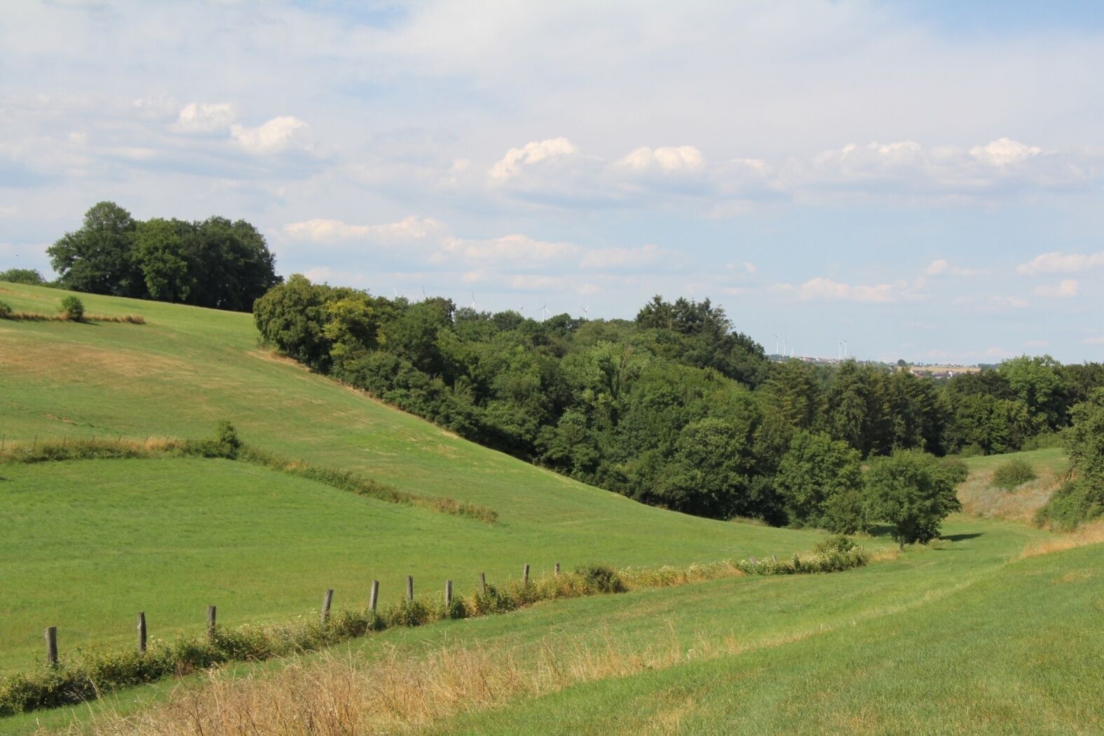
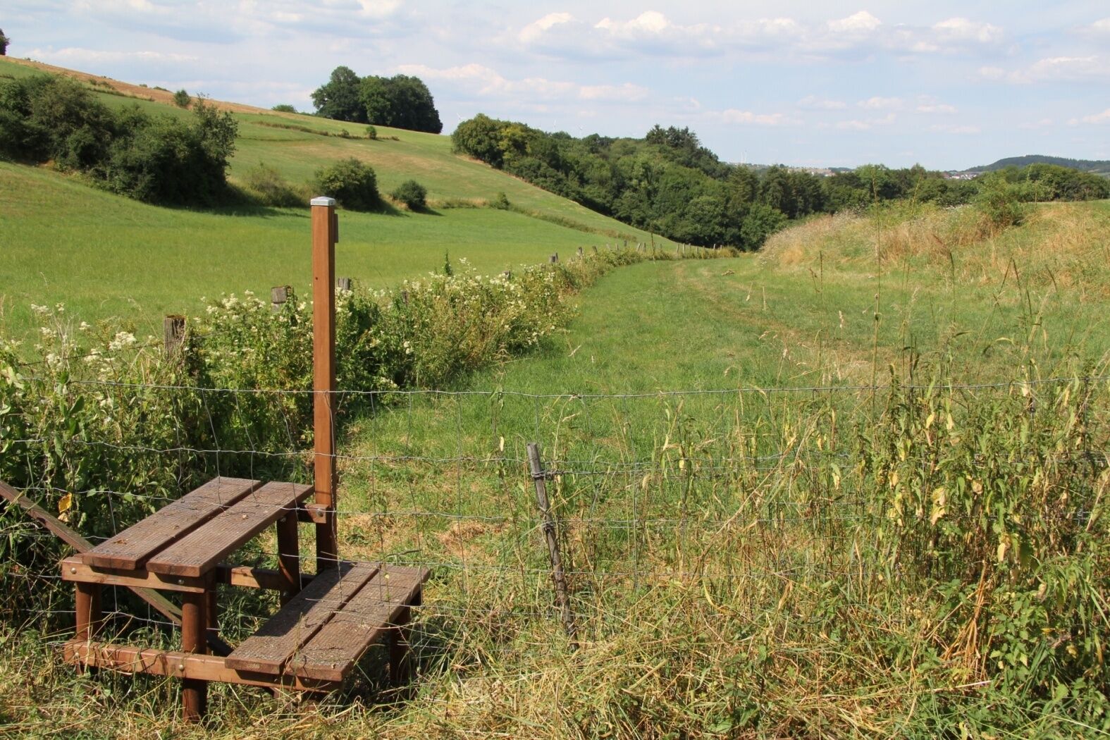
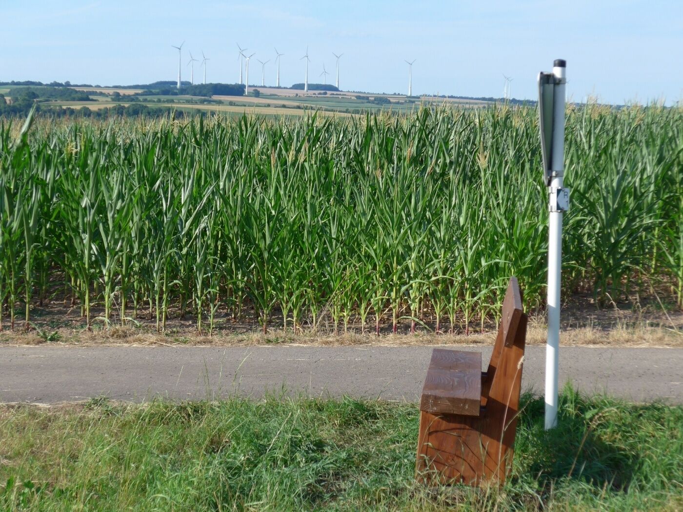
This hike leads up the flanks of the Héibierg to the idyllic village of Bigelbach.
- Teškoća
-
lagano
- Vrednovanje
-
- Wegverlauf
-
ReisdorfCamping de la Sûre0,1 kmWallendorferbrück1,8 kmBigelbach3,3 kmReisdorf5,2 km
- Beste Jahreszeit
-
sijveljožutrasvilipsrpkolrujlisstupro
- Höchster Punkt
- 292 m
- Zielpunkt
-
Reisdorf: Tourist Info
- Höhenprofil
-
 © outdooractive.com

- Autor
-
Die Tour Local hiking trail - R1 wird von outdooractive.com bereitgestellt.
GPS Downloads


Opće informacije
Einkehrmöglichkeit
Aussichtsreich
Weitere Touren in den Regionen
-
Müllerthal
548
-
Vianden
159