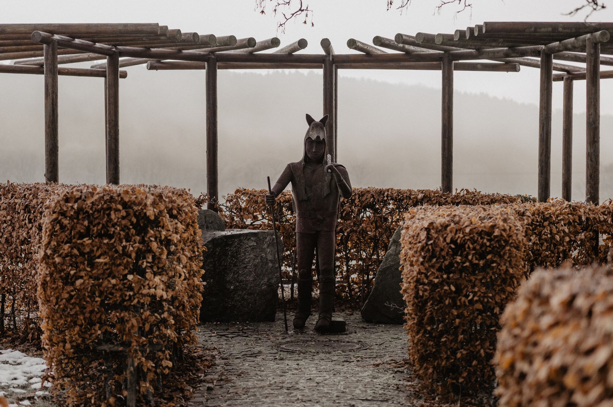
© Visit Éislek

- Kratak opis
-
Following the wolf's tracks
- Teškoća
-
srednje
- Vrednovanje
-
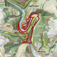
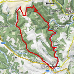
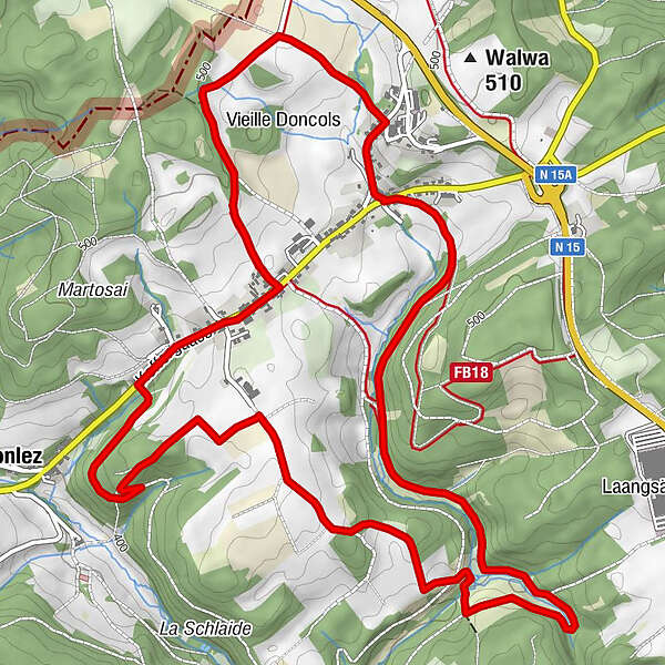
- Wegverlauf
-
Saint-Gangulphe0,1 kmDonkols1,9 kmSoller7,1 kmSaint-Gangulphe8,2 km
- Beste Jahreszeit
-
sijveljožutrasvilipsrpkolrujlisstupro
- Höchster Punkt
- 504 m
- Zielpunkt
-
Church, Duerfstrooss, Doncols
- Höhenprofil
-
 © outdooractive.com
- Autor
-
Die Tour Local hiking trail WS 4 - Doncols wird von outdooractive.com bereitgestellt.
GPS Downloads


Opće informacije
Einkehrmöglichkeit
Kulturell/Historisch
Aussichtsreich
Weitere Touren in den Regionen