© Visit Éislek

- Kratak opis
-
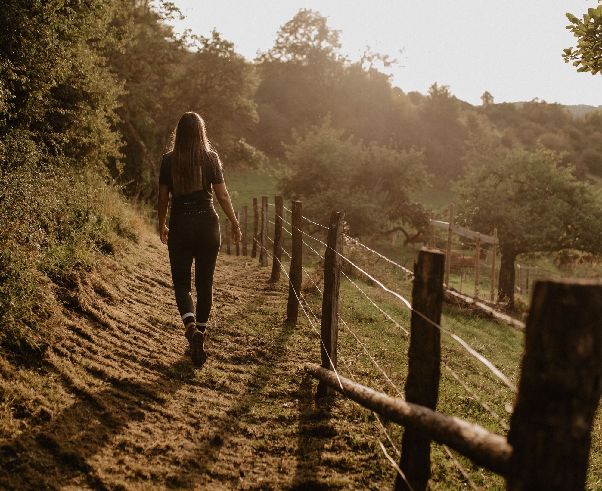
From the leisurely afternoon round to the challenging hiking tour, everything is included in the Local Hiking Trails.
- Teškoća
-
srednje
- Vrednovanje
-
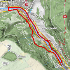
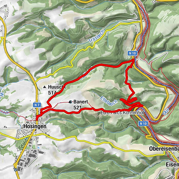
- Wegverlauf
-
HosingenOp der Foll3,5 kmHonicht7,4 kmHosingen9,8 km
- Beste Jahreszeit
-
sijveljožutrasvilipsrpkolrujlisstupro
- Höchster Punkt
- 512 m
- Zielpunkt
-
Hosingen
- Höhenprofil
-
 © outdooractive.com
- Autor
-
Die Tour Local hiking trail PH 4 - Hosingen wird von outdooractive.com bereitgestellt.
GPS Downloads


Opće informacije
Einkehrmöglichkeit
Aussichtsreich
Weitere Touren in den Regionen