Podaci o ruti
11,47km
238
- 319m
341hm
352hm
02:58h
- Teškoća
-
srednje
- Vrednovanje
-
- Wegverlauf
-
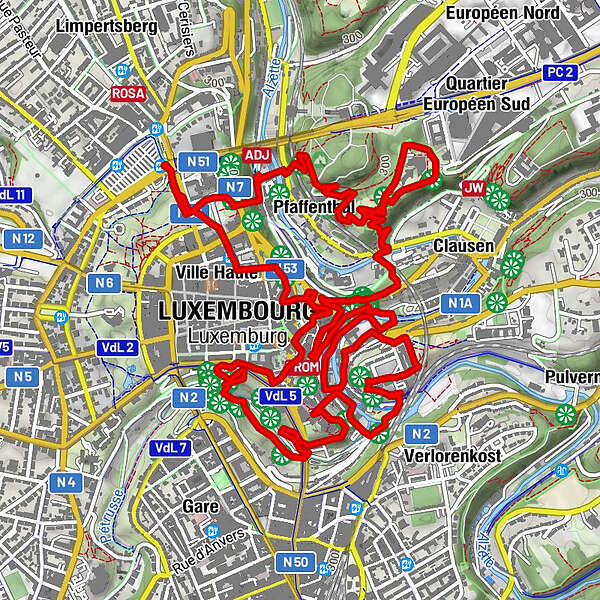
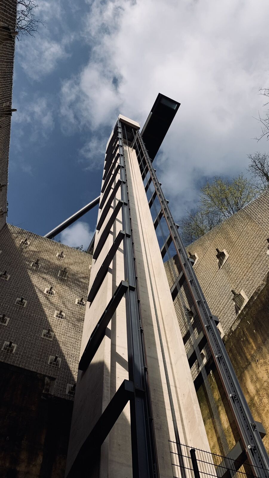
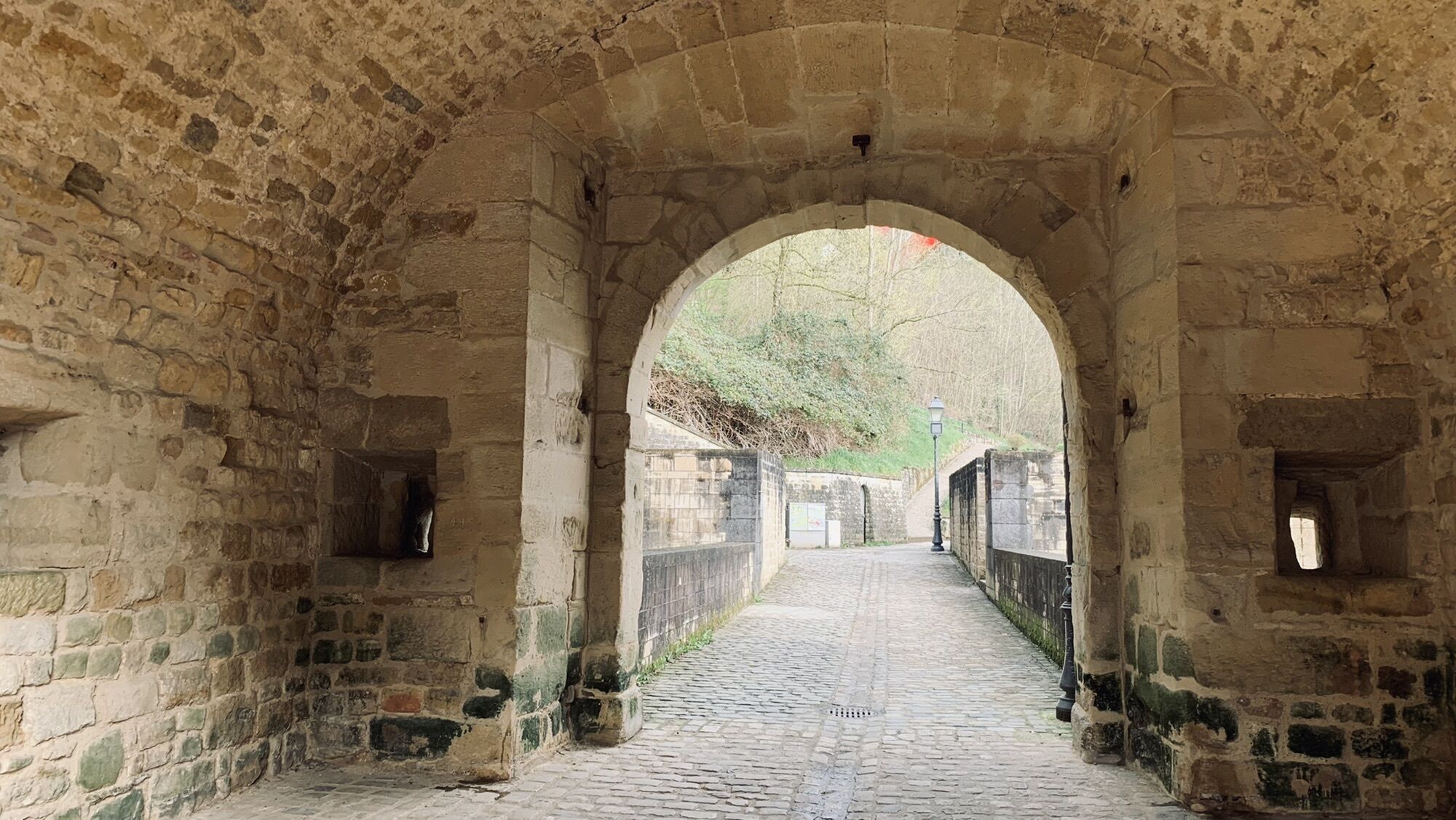
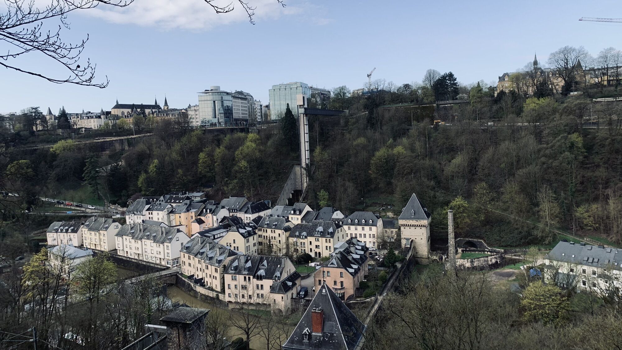
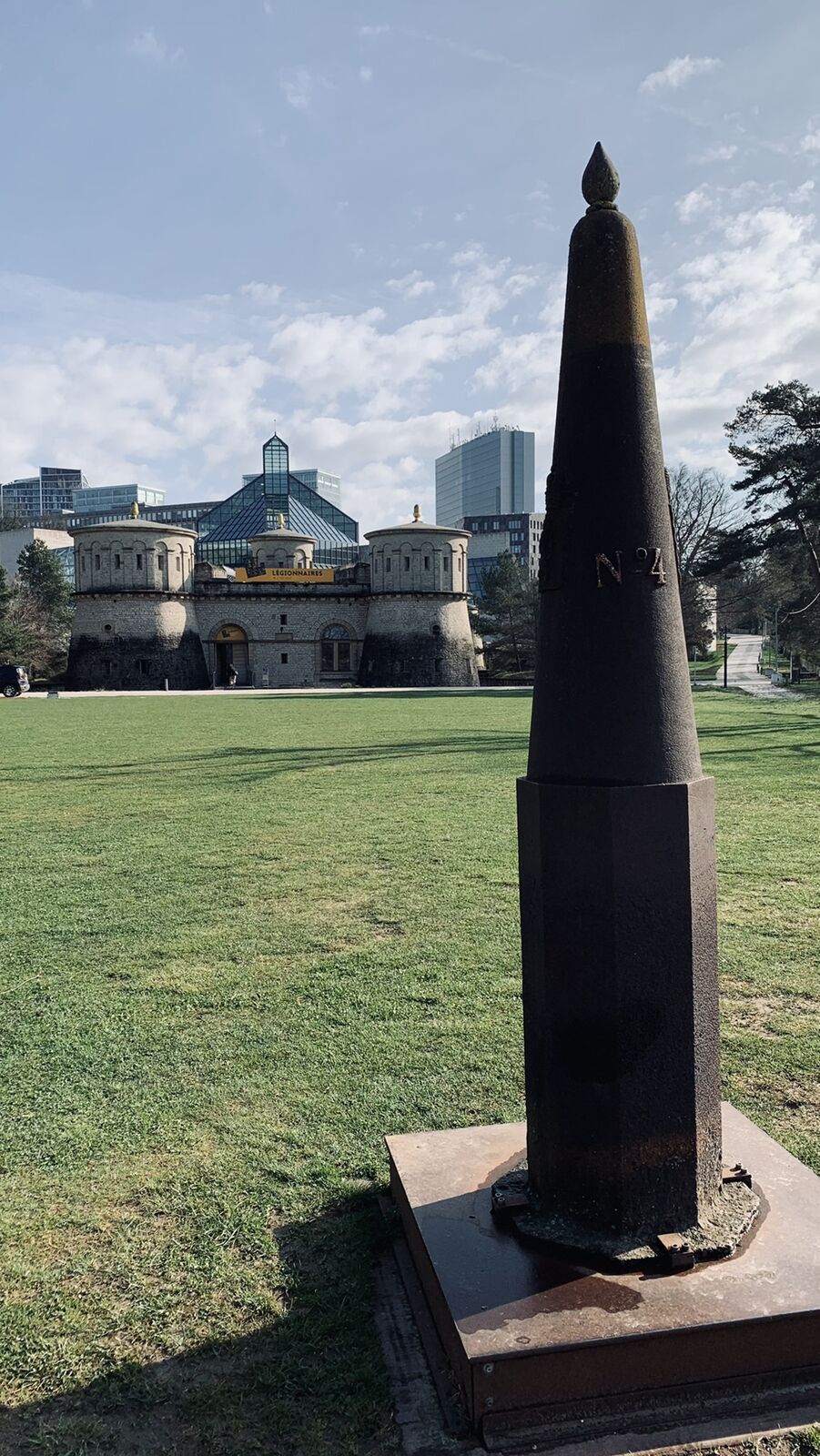
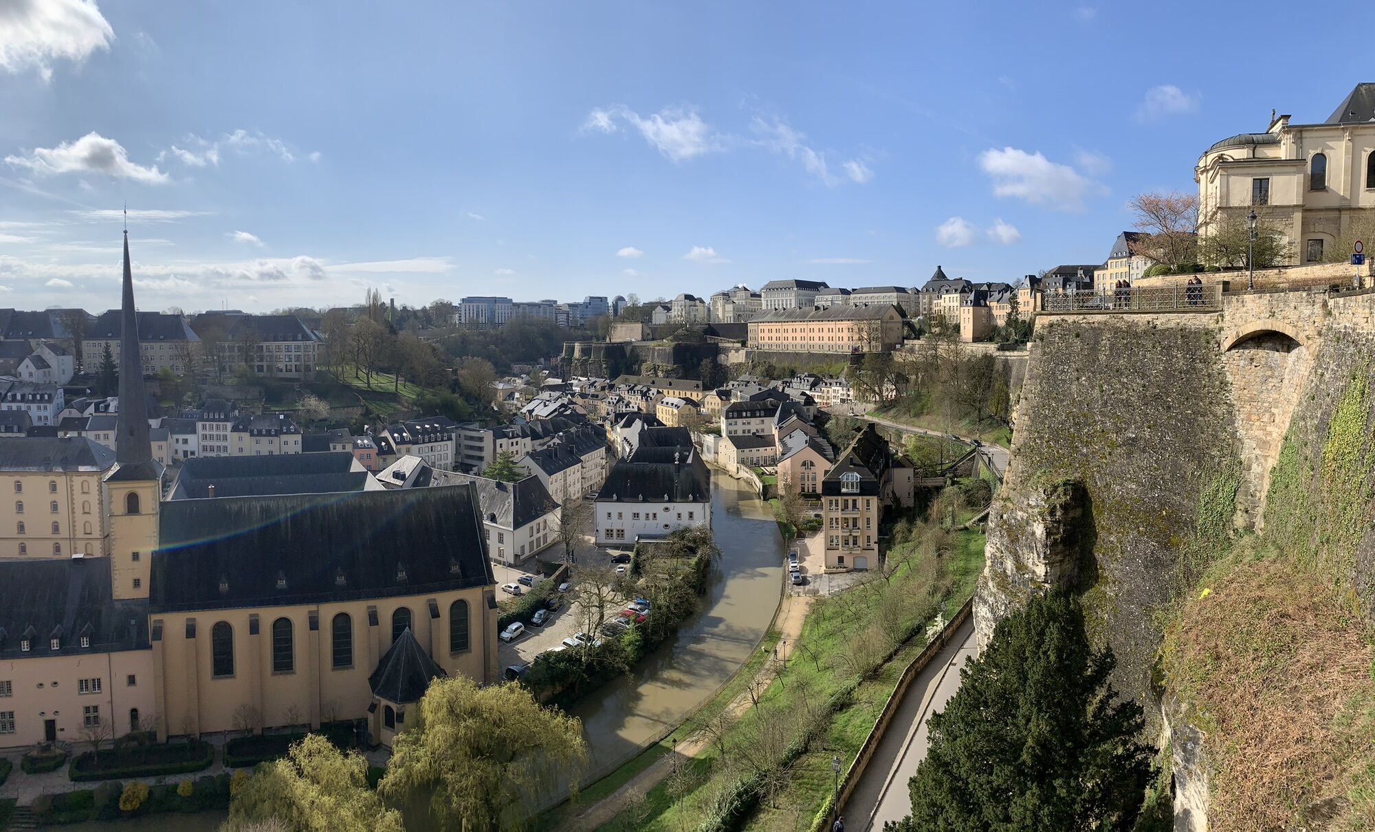
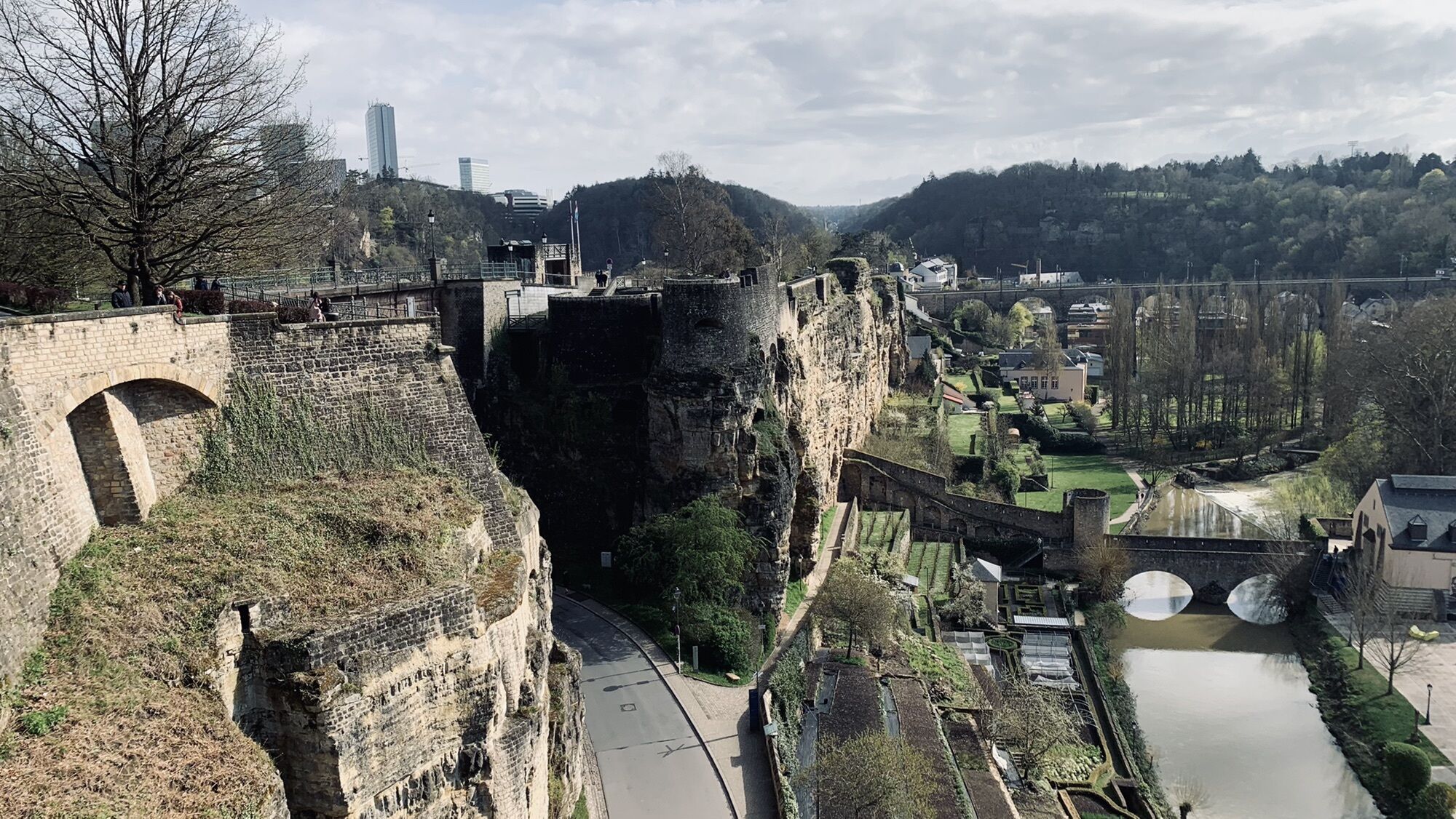
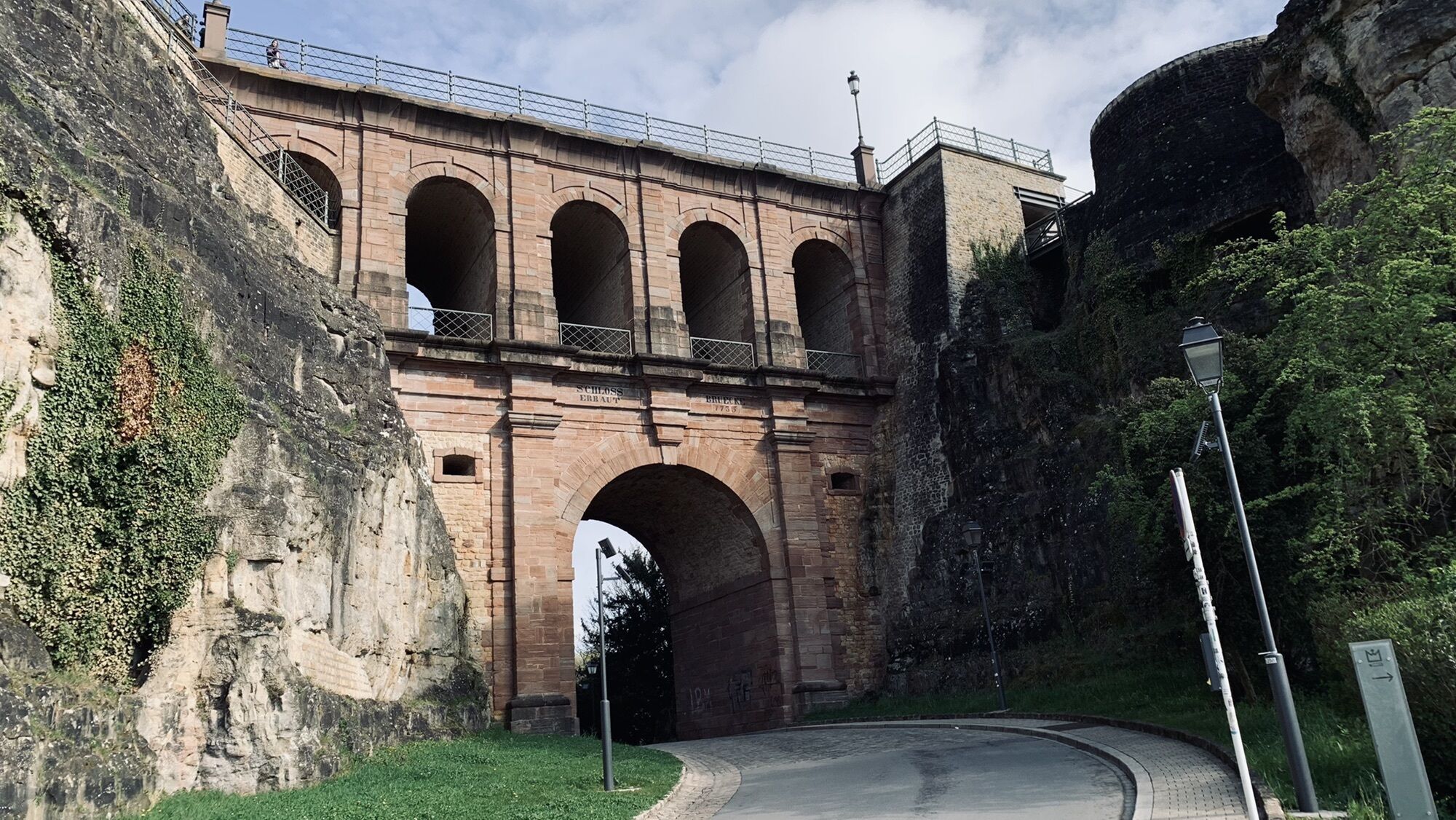
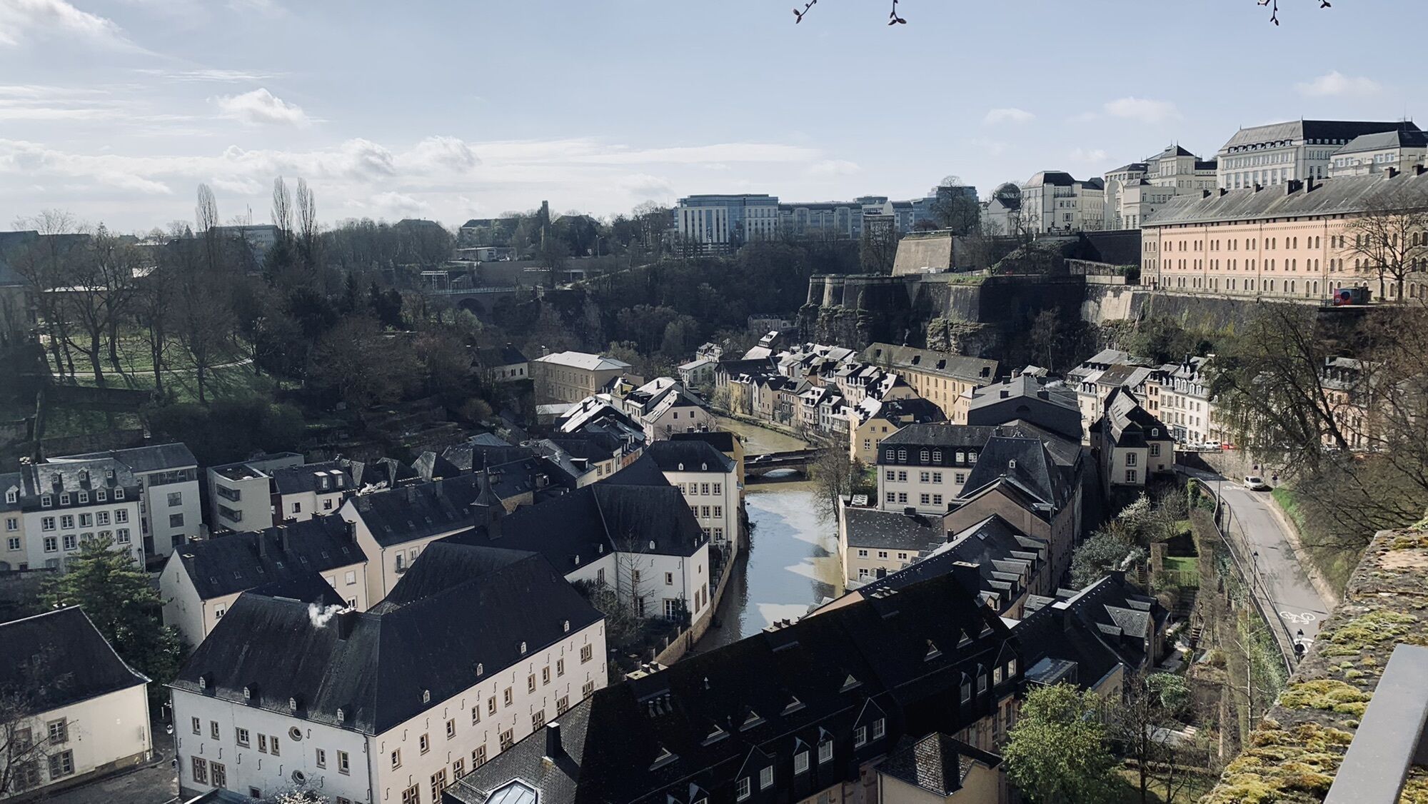
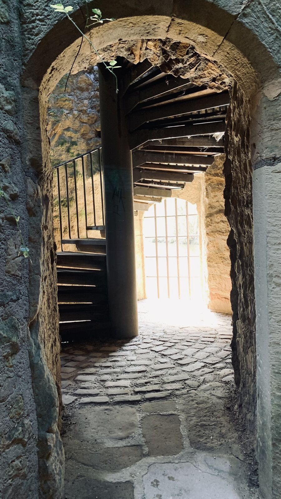
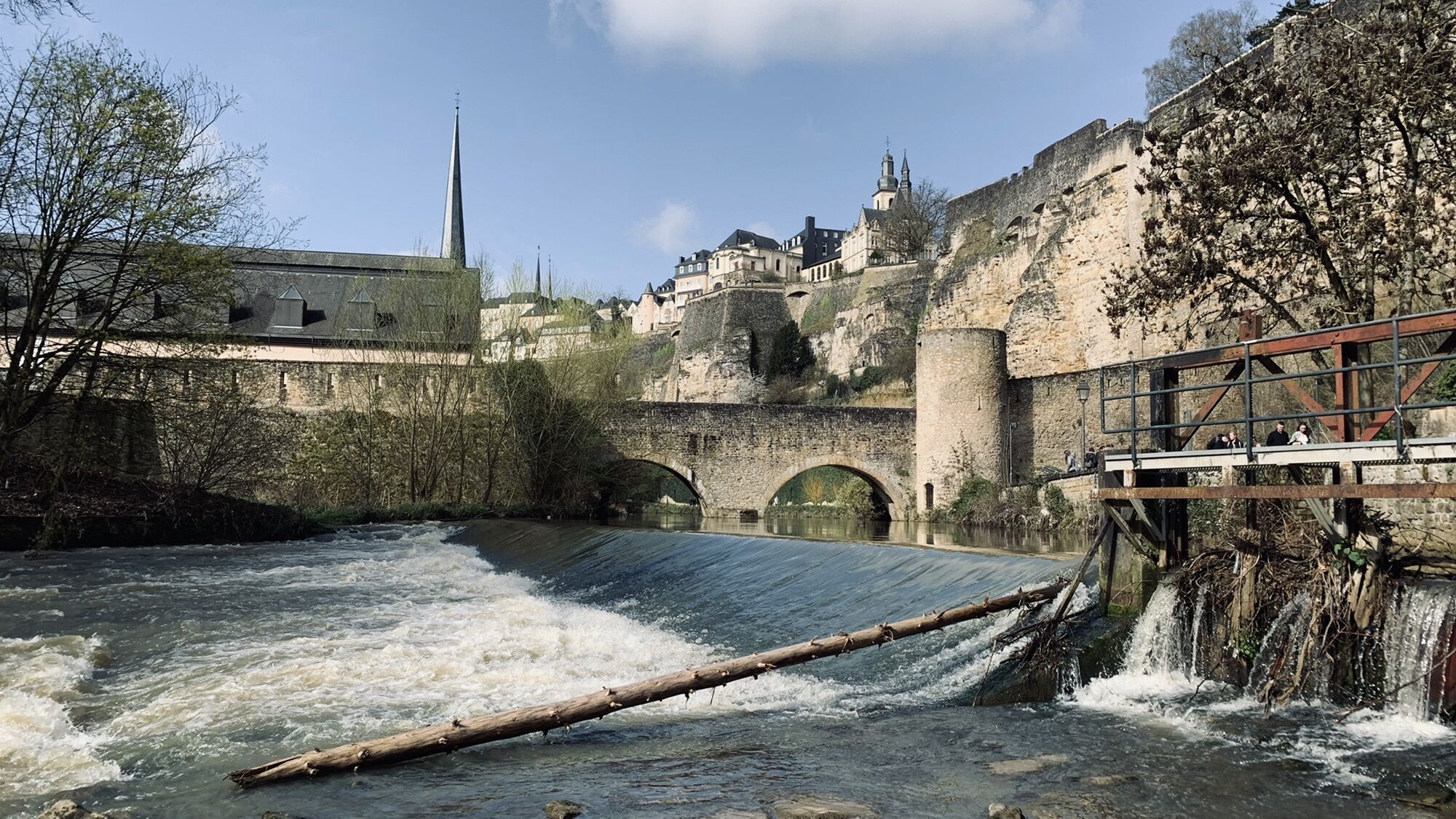
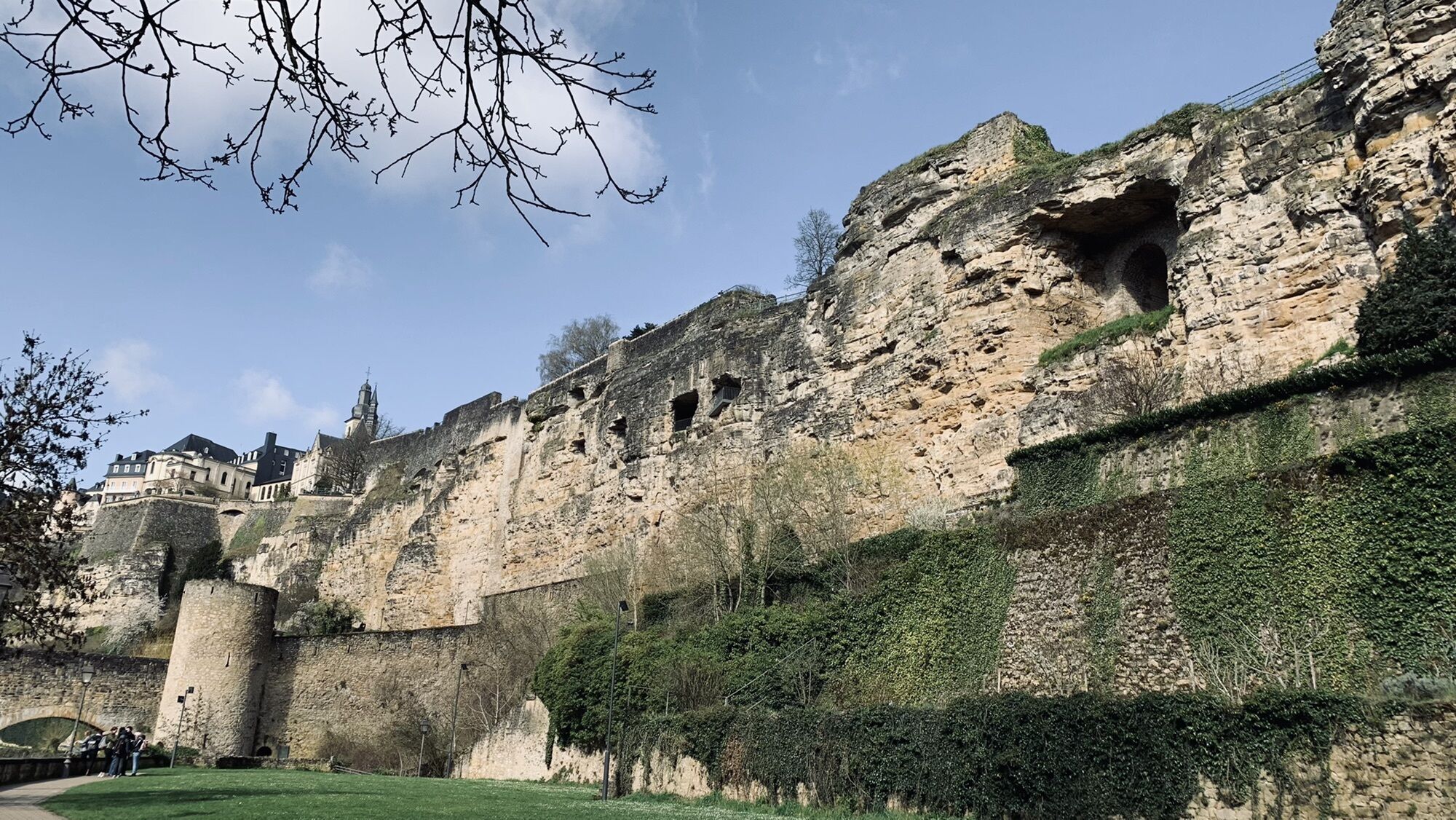
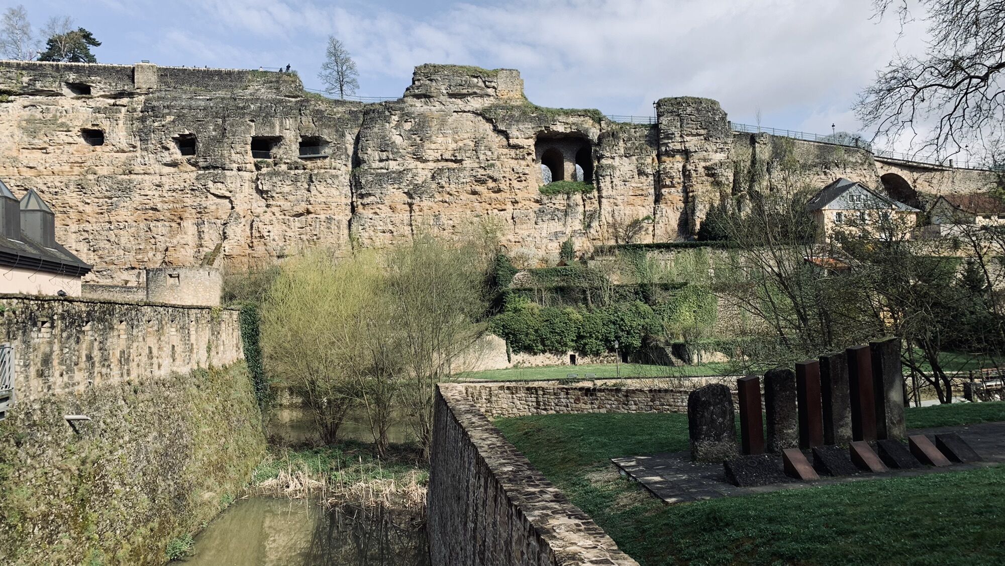
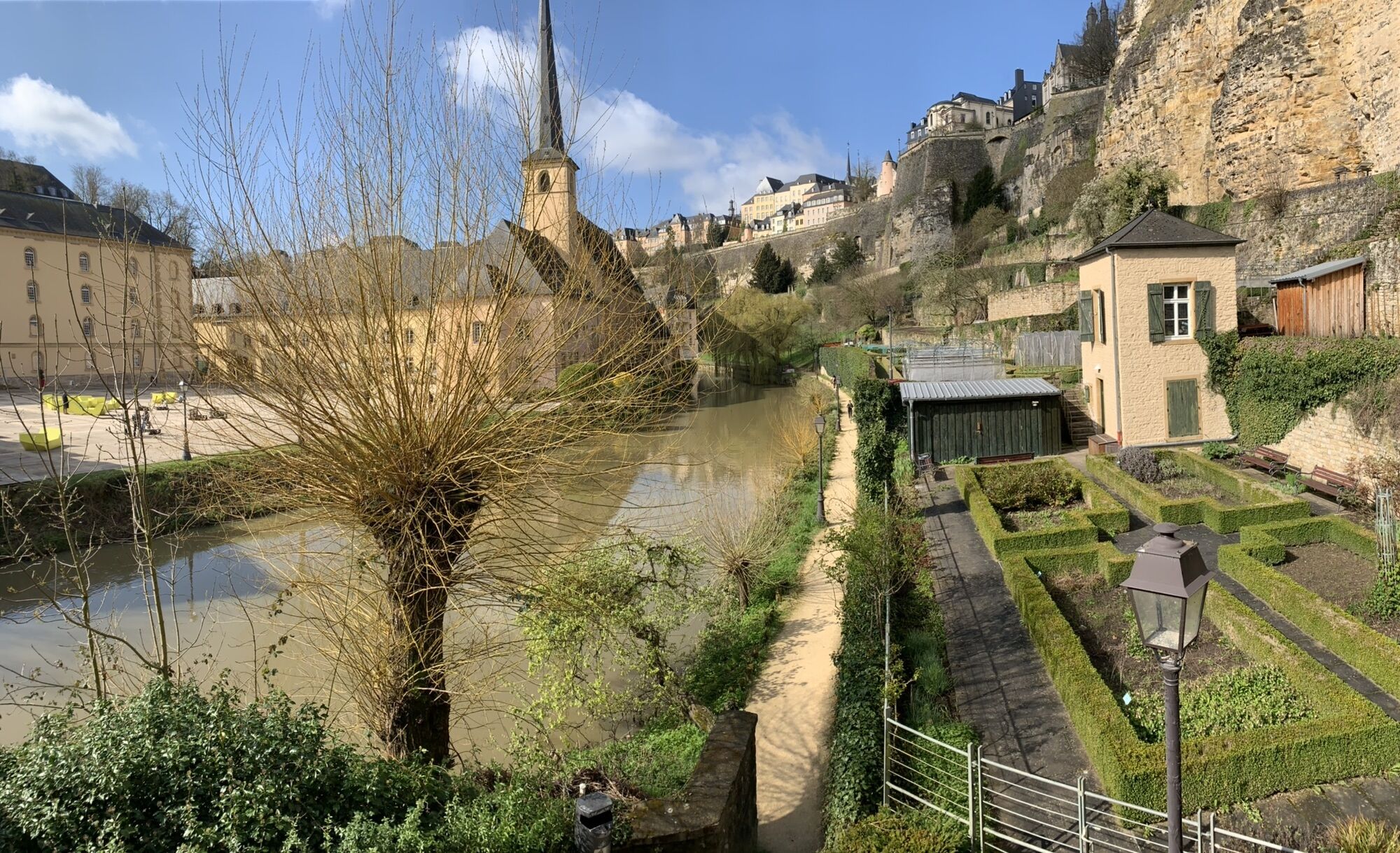
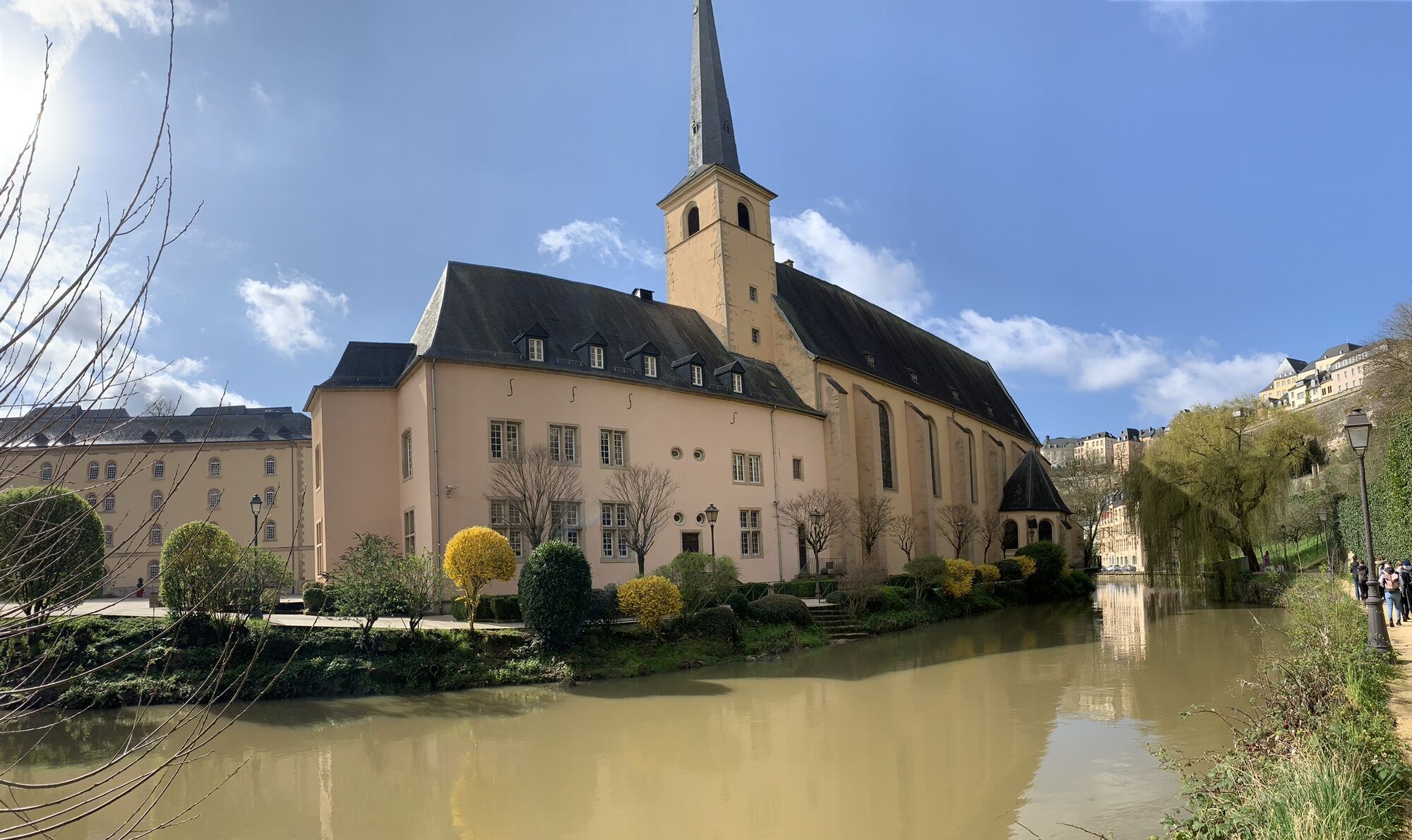
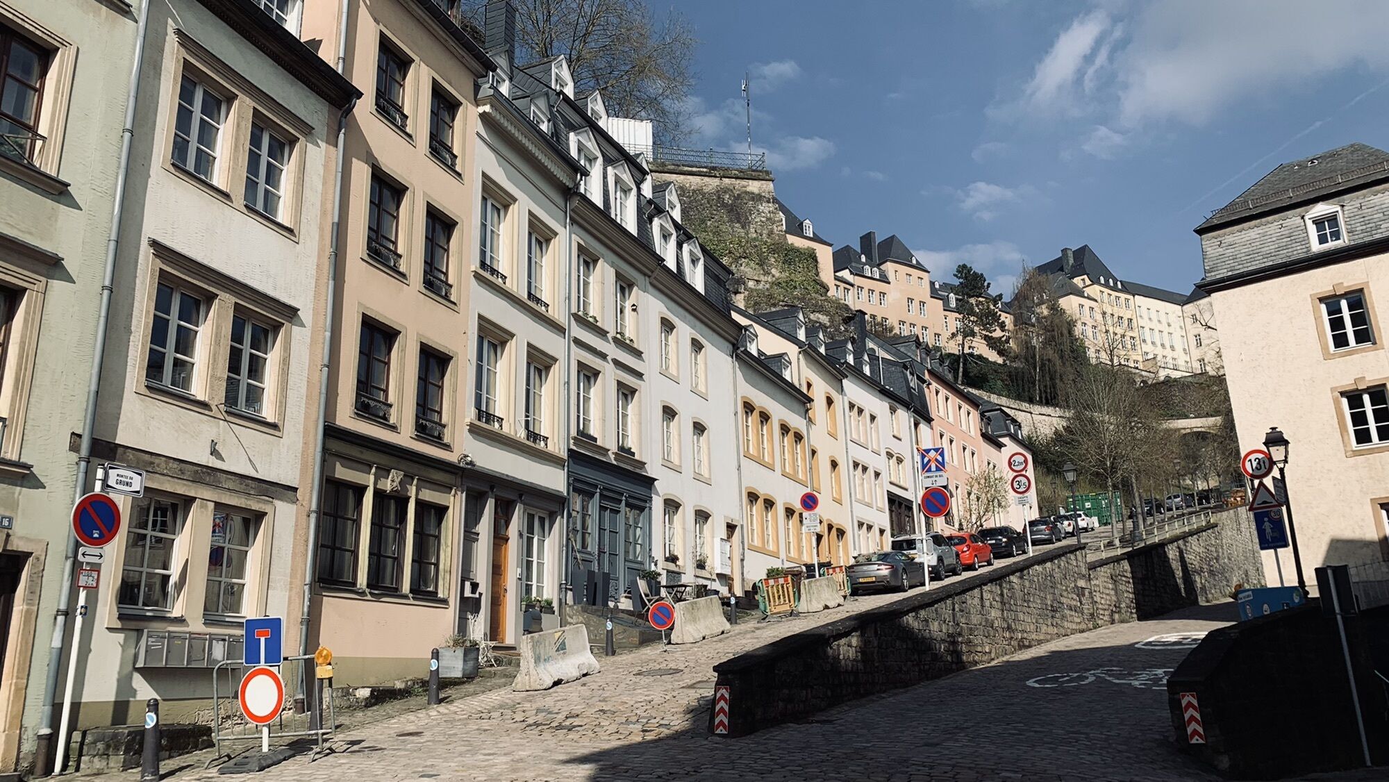
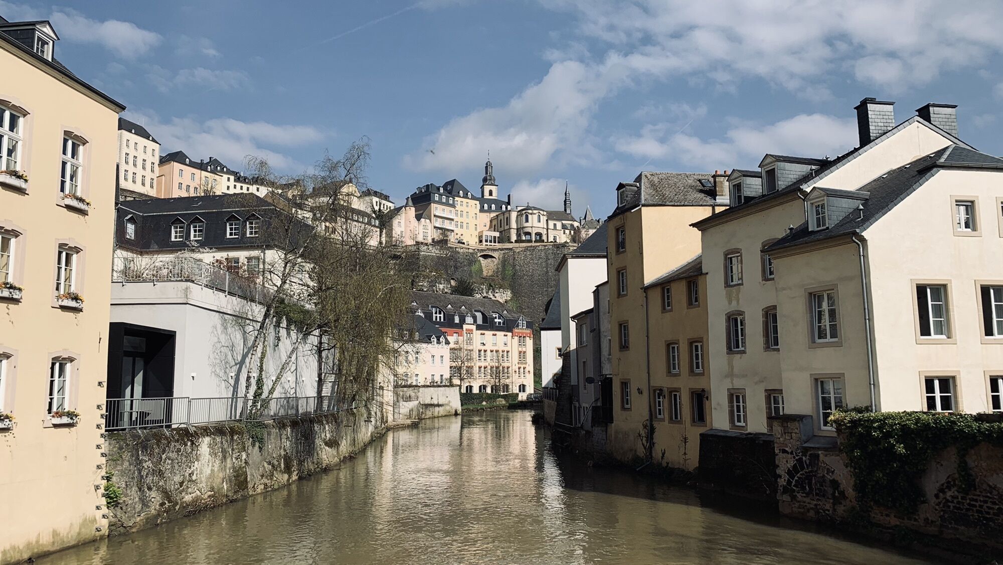
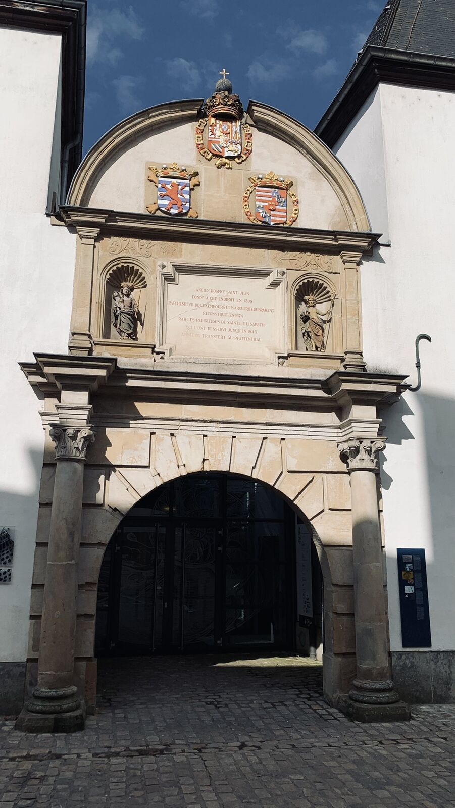
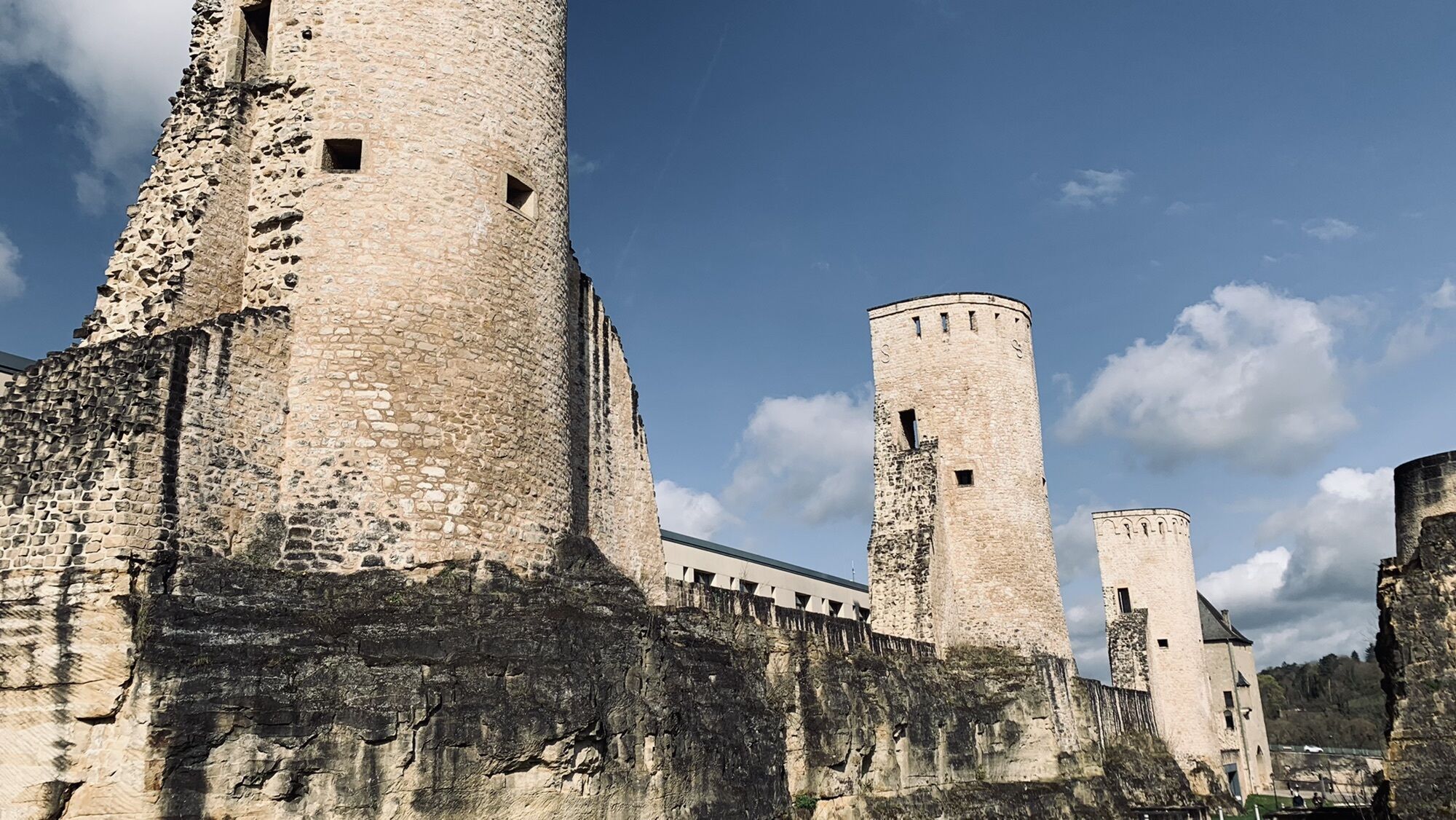
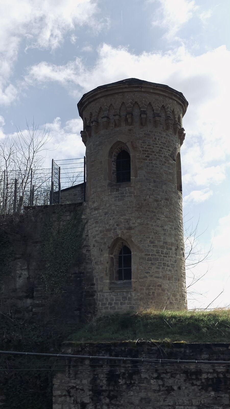
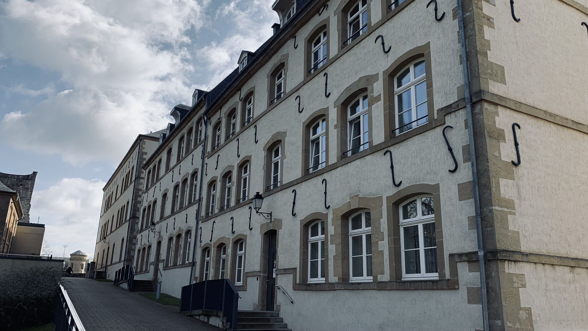
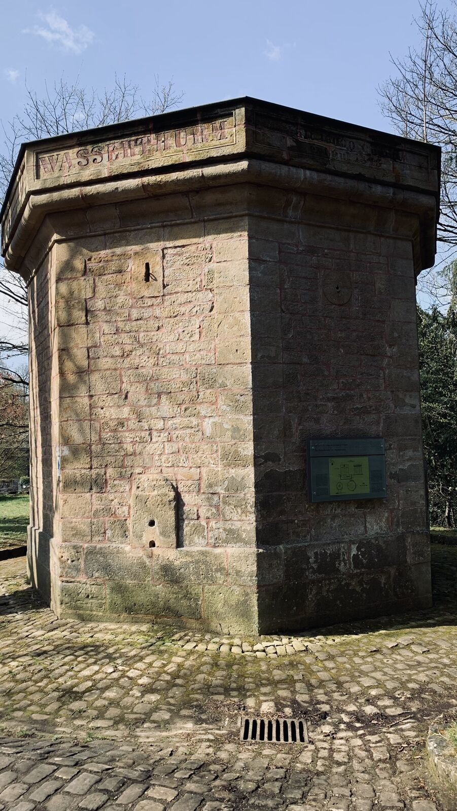
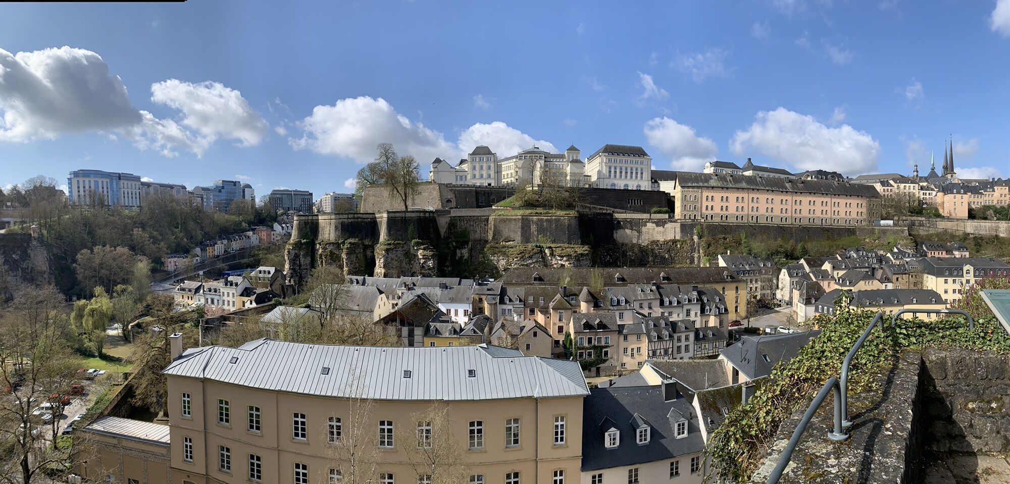
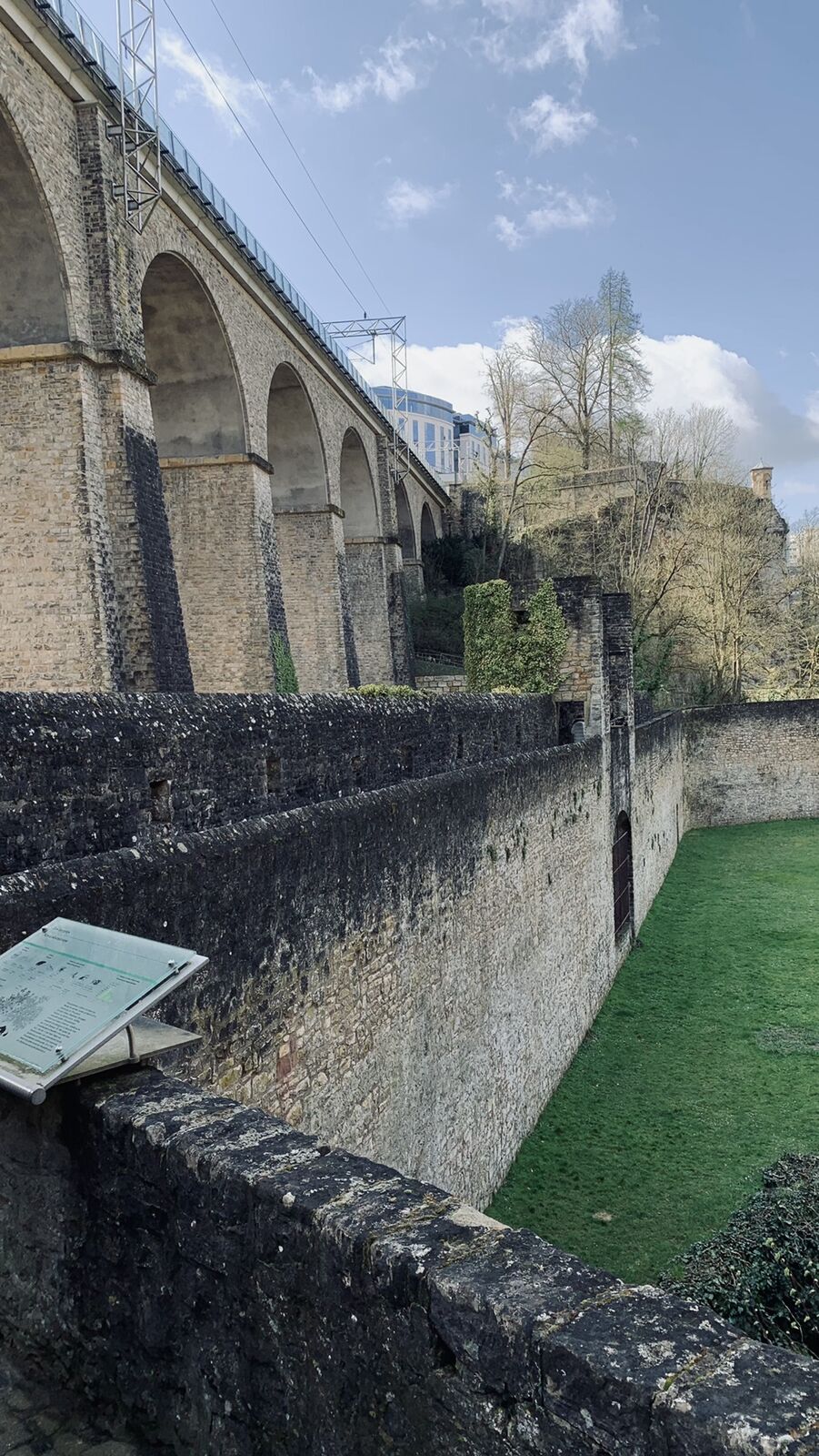
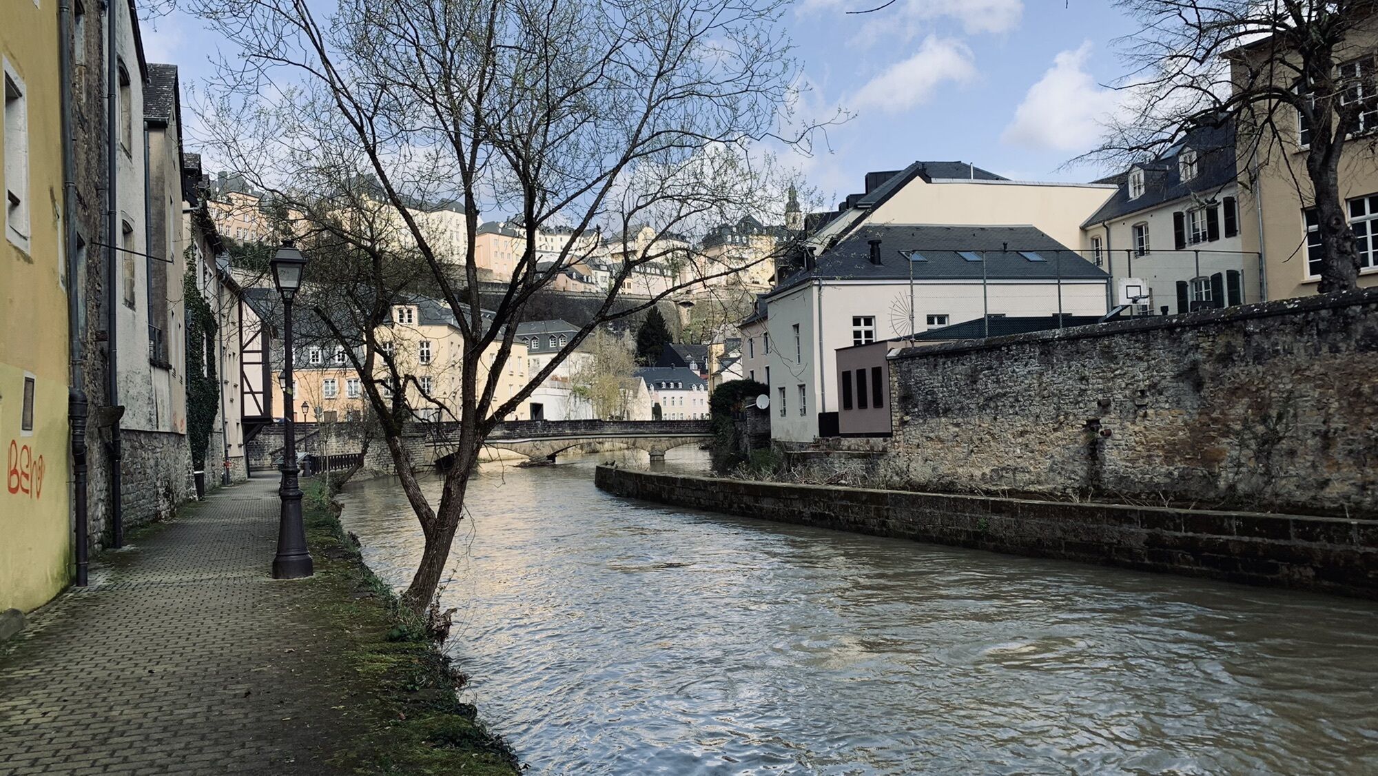
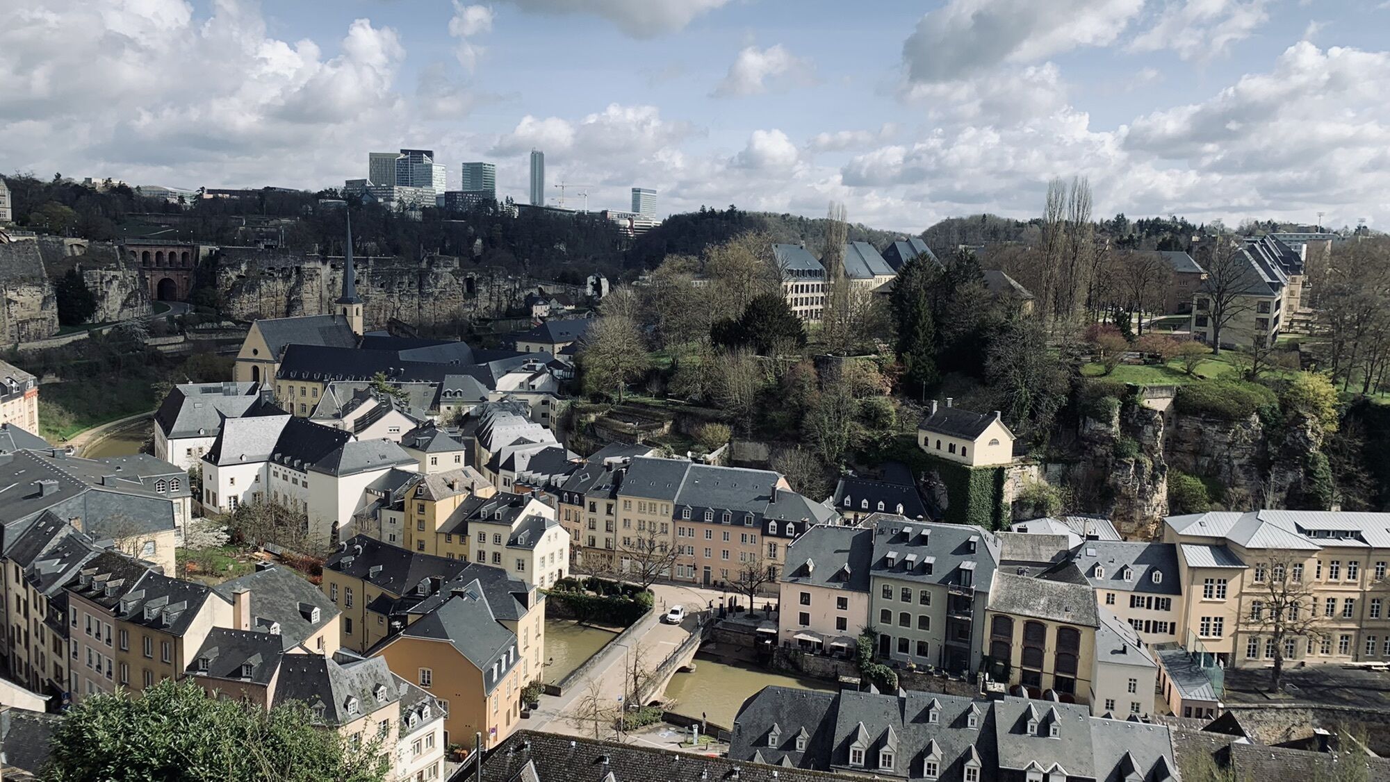
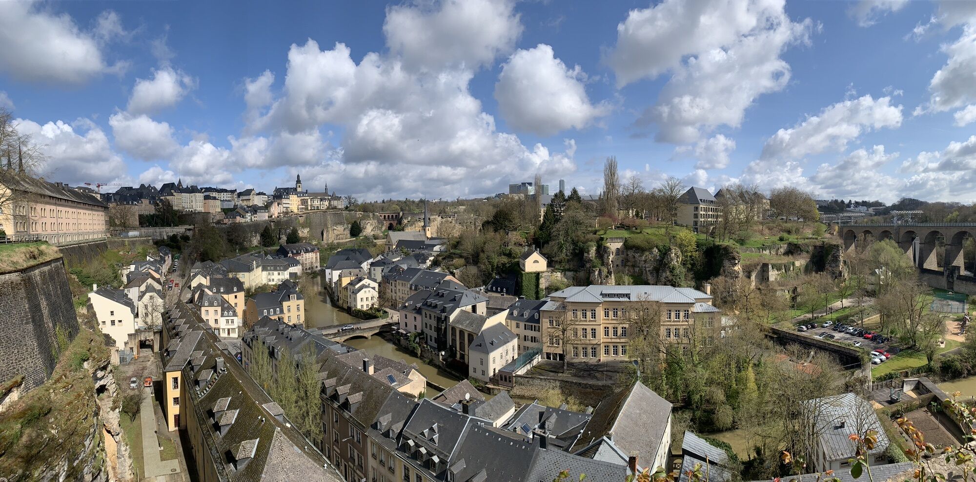
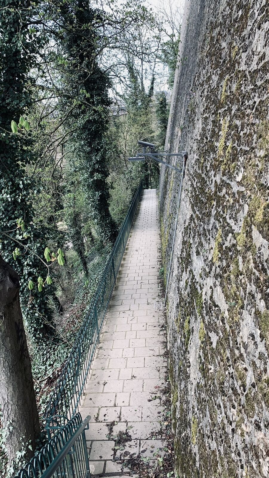
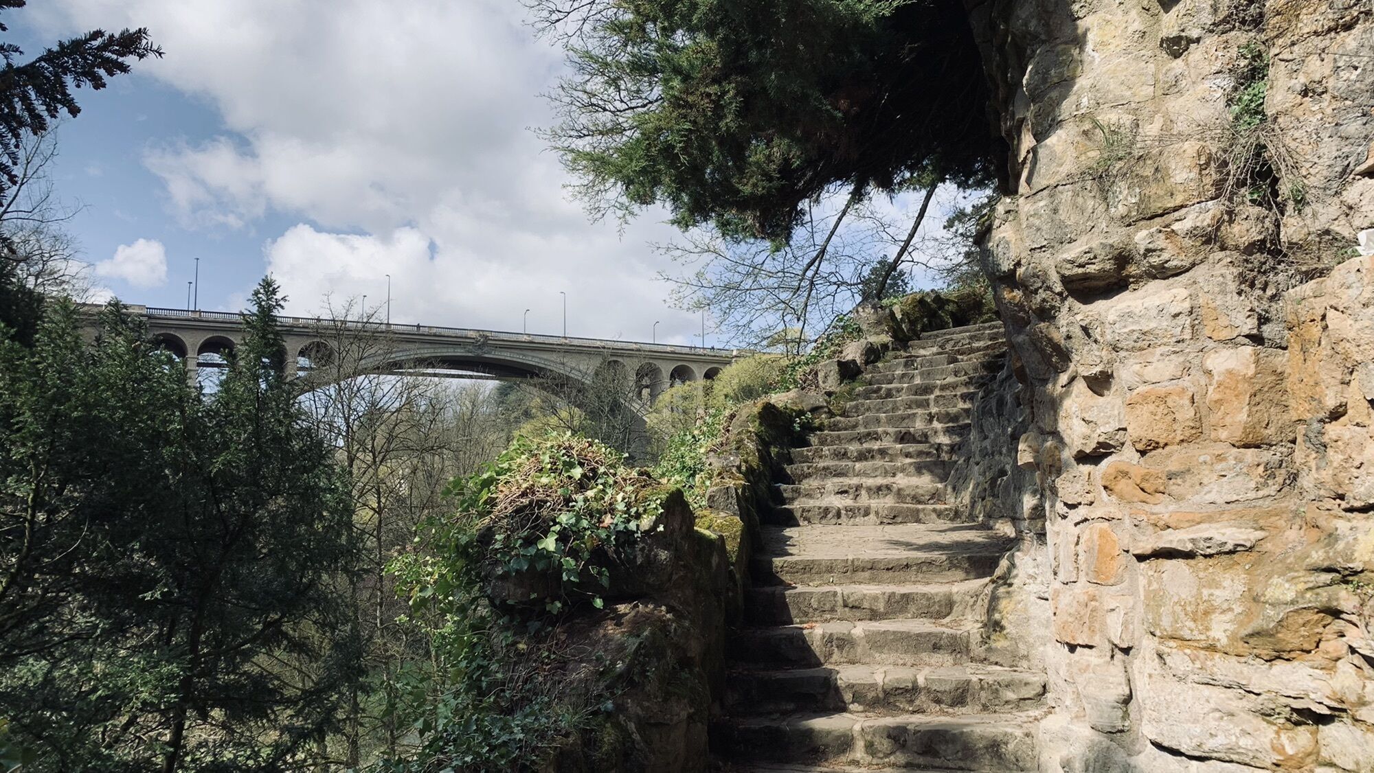
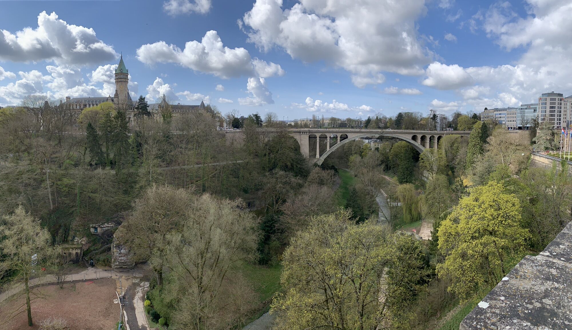
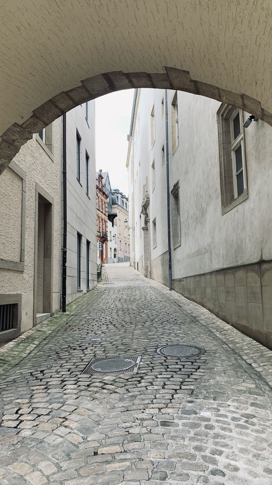
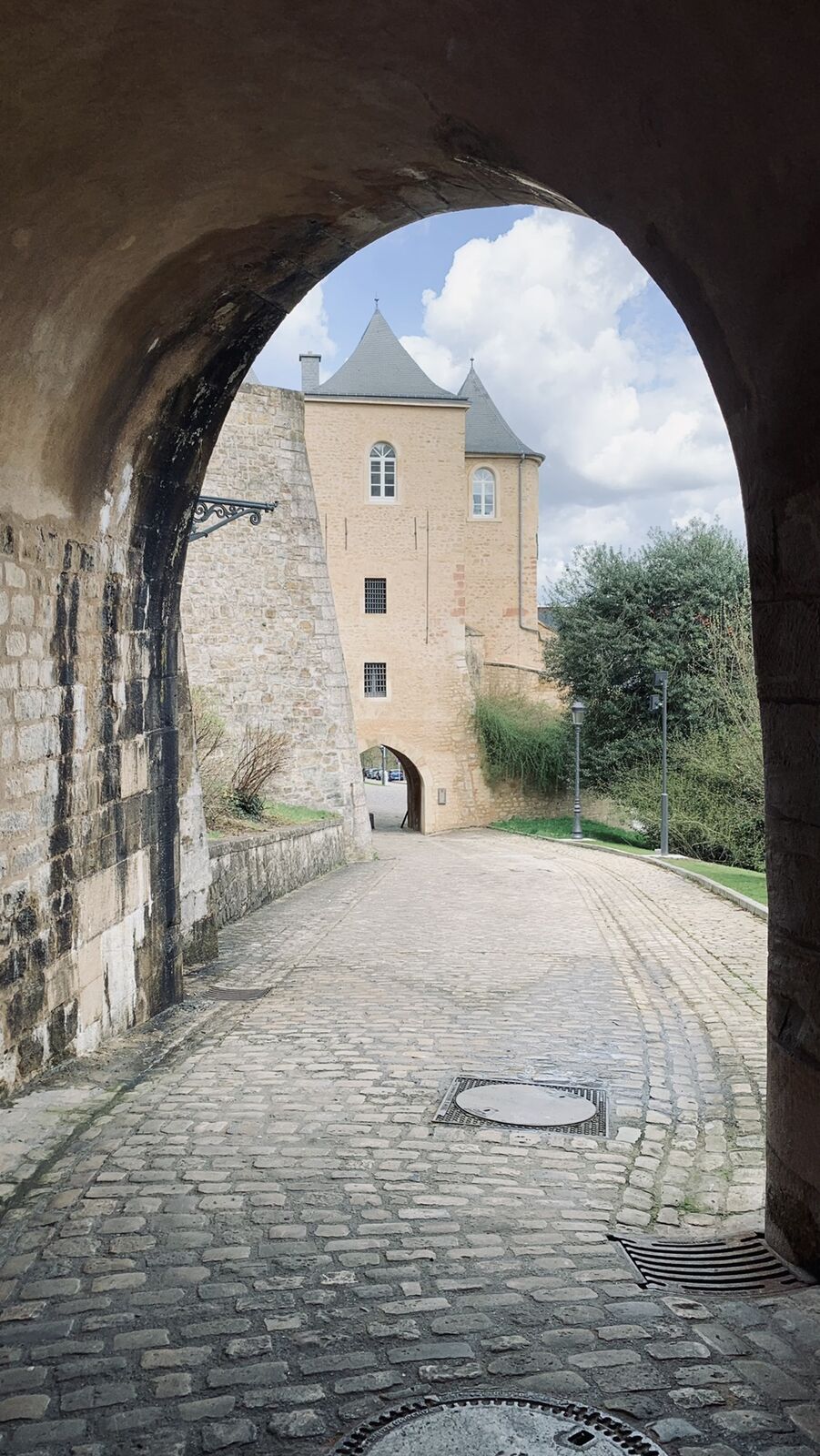
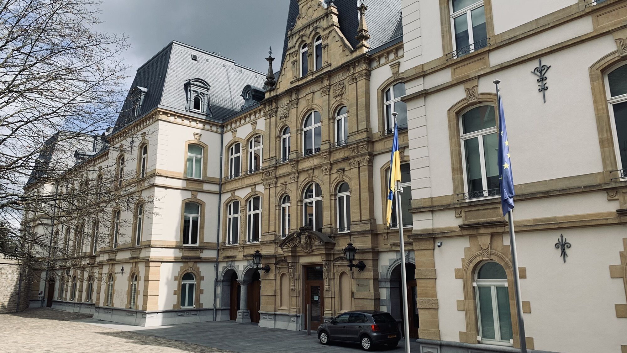
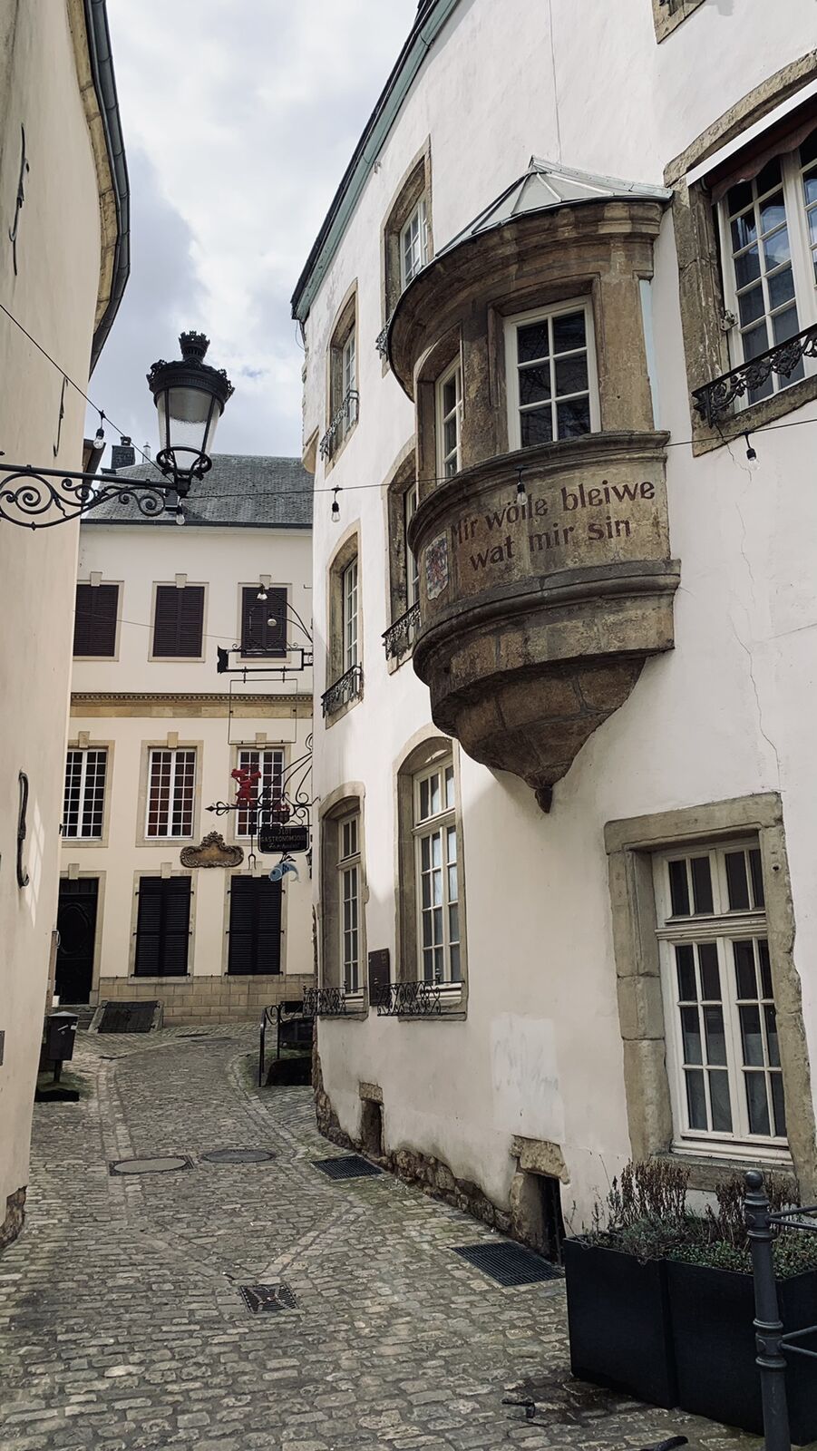
Fort Berlaimont0,5 kmPfaffenthal panorama elevator0,5 kmPfaffenthal1,8 kmClausen3,8 kmBock4,0 kmÉglise Saint-Michel4,4 kmThe Bock4,8 kmJohanneskirche5,4 kmGrund6,0 kmRham6,6 kmKanonenhügel8,0 kmLuxembourg9,5 kmDreifaltigkeitskirche9,7 kmSaint-Alphonse10,8 kmOberstadt10,8 kmFort Royal11,2 km
- Beste Jahreszeit
-
sijveljožutrasvilipsrpkolrujlisstupro
- Höchster Punkt
- 319 m


GPS Downloads


Weitere Touren in den Regionen