
- Kratak opis
-
From the leisurely afternoon round to the challenging hiking tour, everything is included in the Local Hiking Trails.
- Teškoća
-
srednje
- Vrednovanje
-
- Wegverlauf
-
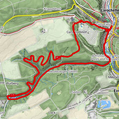
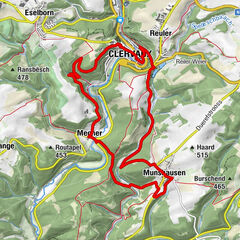
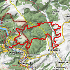
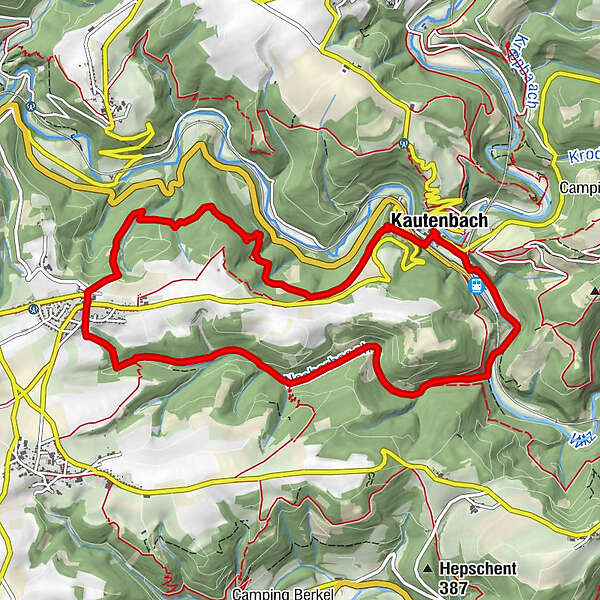
HubertyKautenbach0,0 kmSaint-Bernard0,2 kmNocher5,8 kmSaint-Remigius5,9 kmSpier10,2 kmKautenbach10,8 kmHuberty10,8 km
- Beste Jahreszeit
-
sijveljožutrasvilipsrpkolrujlisstupro
- Höchster Punkt
- 479 m
- Zielpunkt
-
Kautenbach
- Höhenprofil
-
 © outdooractive.com
- Autor
-
Die Tour Local hiking trail KI 7 - Kautenbach wird von outdooractive.com bereitgestellt.
GPS Downloads


Opće informacije
Kulturell/Historisch
Flora
Fauna
Aussichtsreich
Weitere Touren in den Regionen