© Tourist Center Clervaux

© Visit Éislek

© Visit Éislek

© Visit Éislek

© Joachim Köhler

- Kratak opis
-
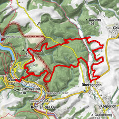
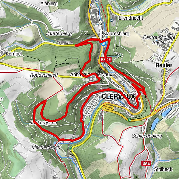
From the leisurely afternoon round to the challenging hiking tour, everything is included in the Local Hiking Trails.
- Teškoća
-
srednje
- Vrednovanje
-
- Wegverlauf
-
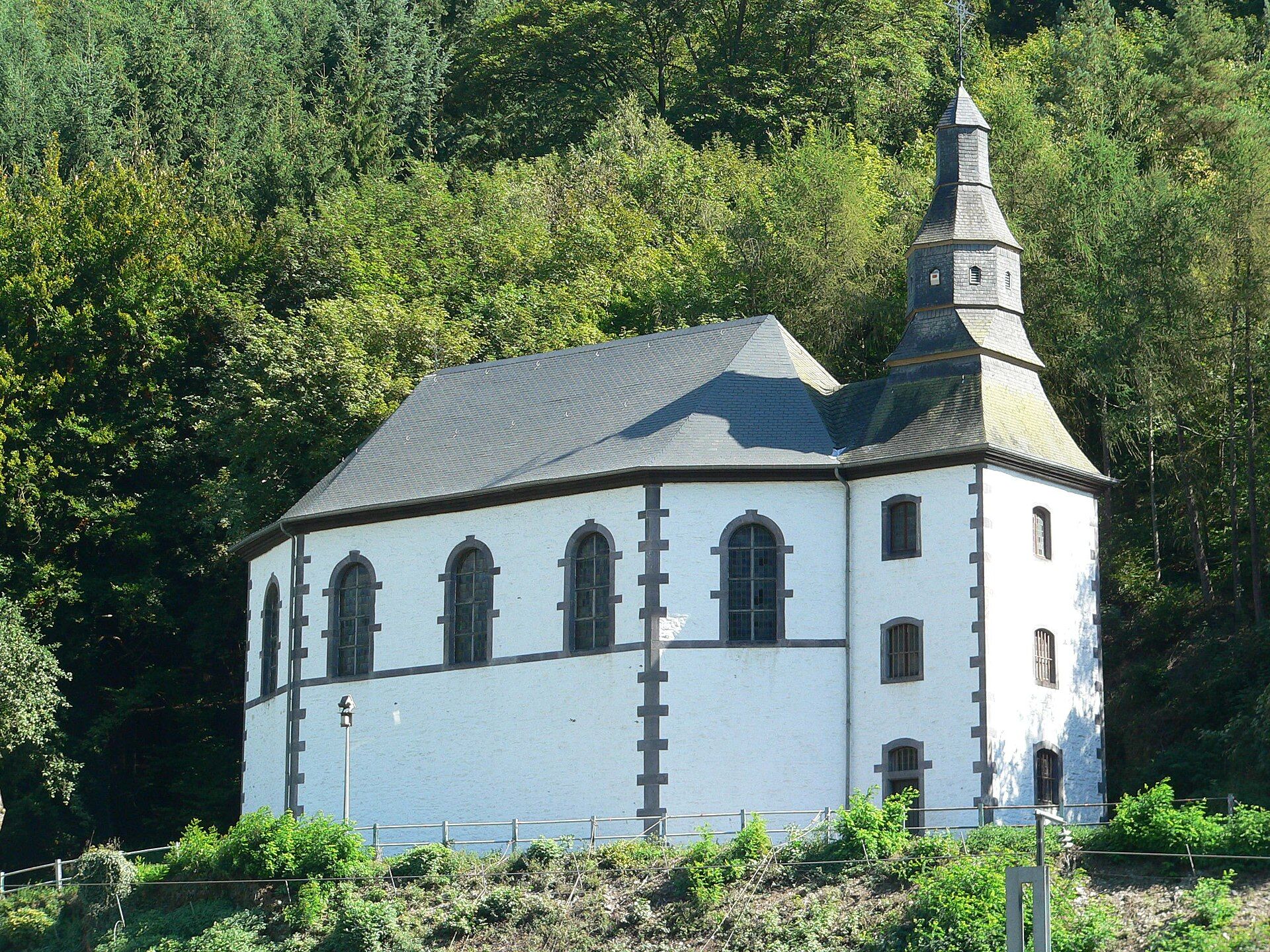
Saints-Côme-et-Damien0,2 kmClerf0,3 kmSaint-Maurice4,0 kmClerf5,2 kmChapelle Notre-Dame de Lorette5,5 kmReuler6,3 km
- Beste Jahreszeit
-
sijveljožutrasvilipsrpkolrujlisstupro
- Höchster Punkt
- 448 m
- Zielpunkt
-
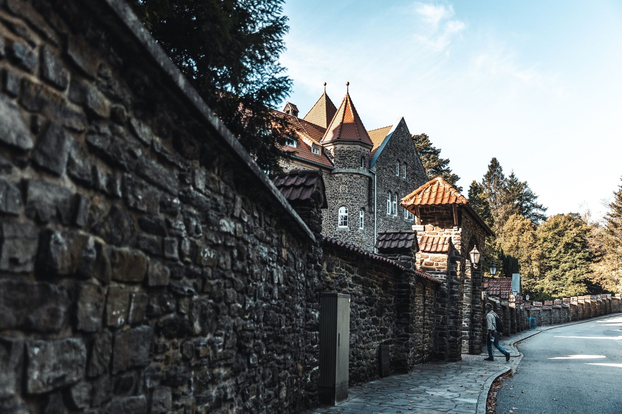
Clervaux
- Höhenprofil
-
 © outdooractive.com

- Autor
-
Die Tour Local hiking trail CL 2 - Clervaux wird von outdooractive.com bereitgestellt.
GPS Downloads


Opće informacije
Einkehrmöglichkeit
Aussichtsreich
Weitere Touren in den Regionen