
- Kratak opis
-
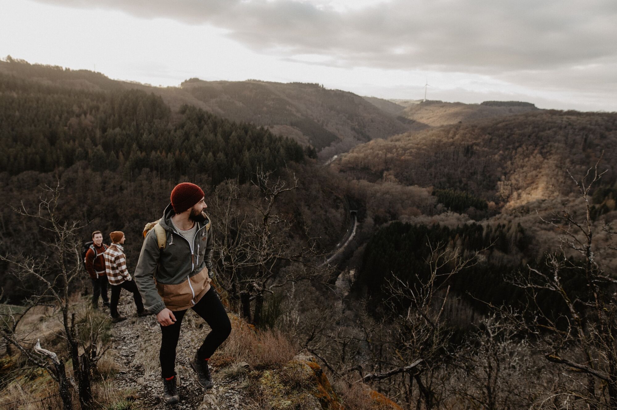
The CFL rail trails take you from one station to another, so you can easily get back to your starting point by train.
- Teškoća
-
srednje
- Vrednovanje
-
- Wegverlauf
-
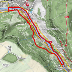
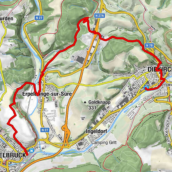
DiekirchDiekirch1,1 kmSaint-Laurent1,3 kmCentre culturel islamique Nordstadt1,5 kmKalebierg2,1 kmErpeldingen an der Sauer8,0 kmEttelbrück11,1 km
- Beste Jahreszeit
-
sijveljožutrasvilipsrpkolrujlisstupro
- Höchster Punkt
- 333 m
- Zielpunkt
-
At the station in Ettelbruck / Diekirch
- Höhenprofil
-
 © outdooractive.com
- Autor
-
Die Tour CFL-Bahnwanderweg 11 (Diekirch - Ettelbruck) wird von outdooractive.com bereitgestellt.
GPS Downloads


Opće informacije
Einkehrmöglichkeit
Kulturell/Historisch
Aussichtsreich