
- Kratak opis
-
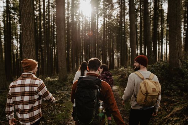
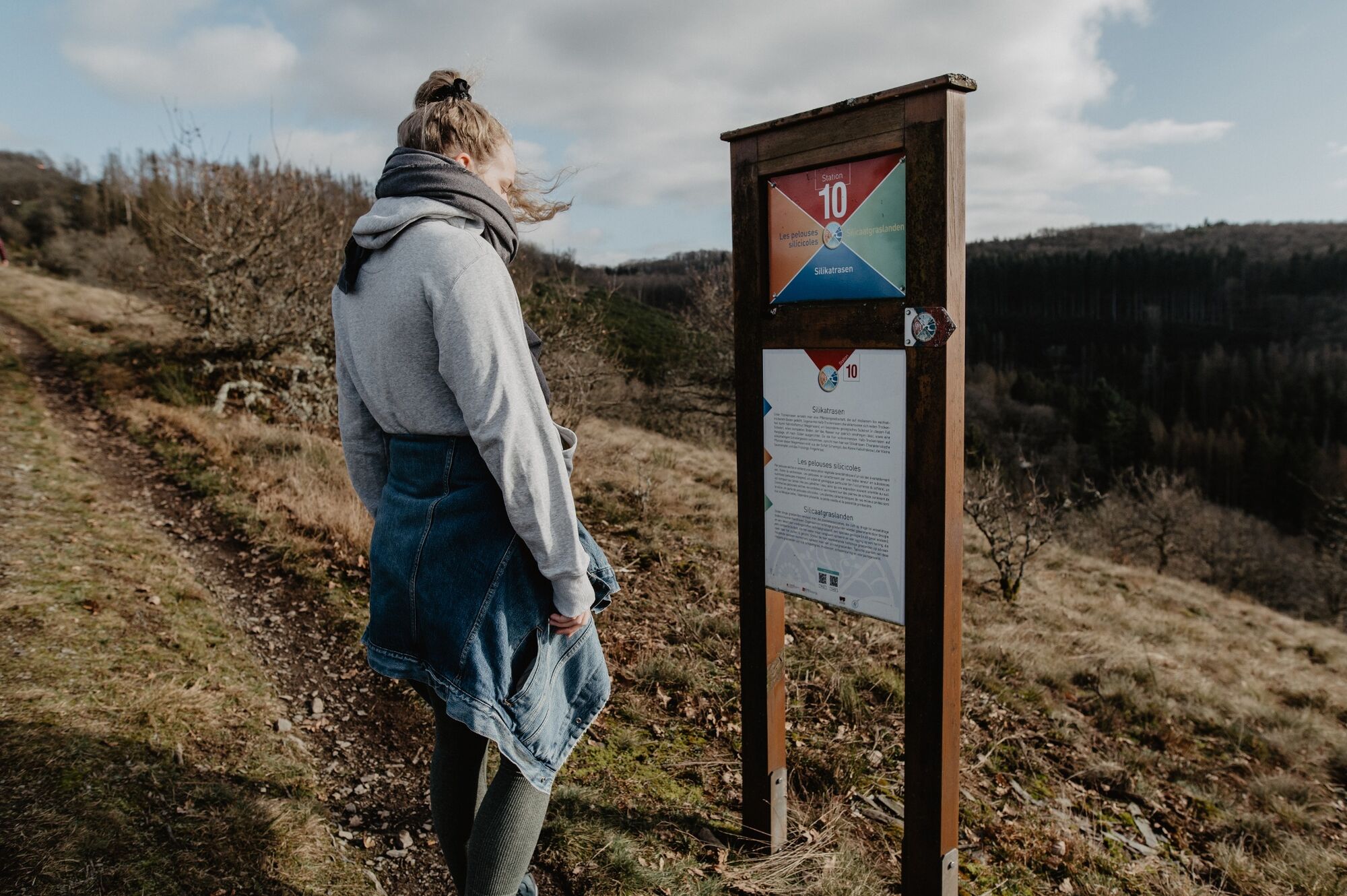
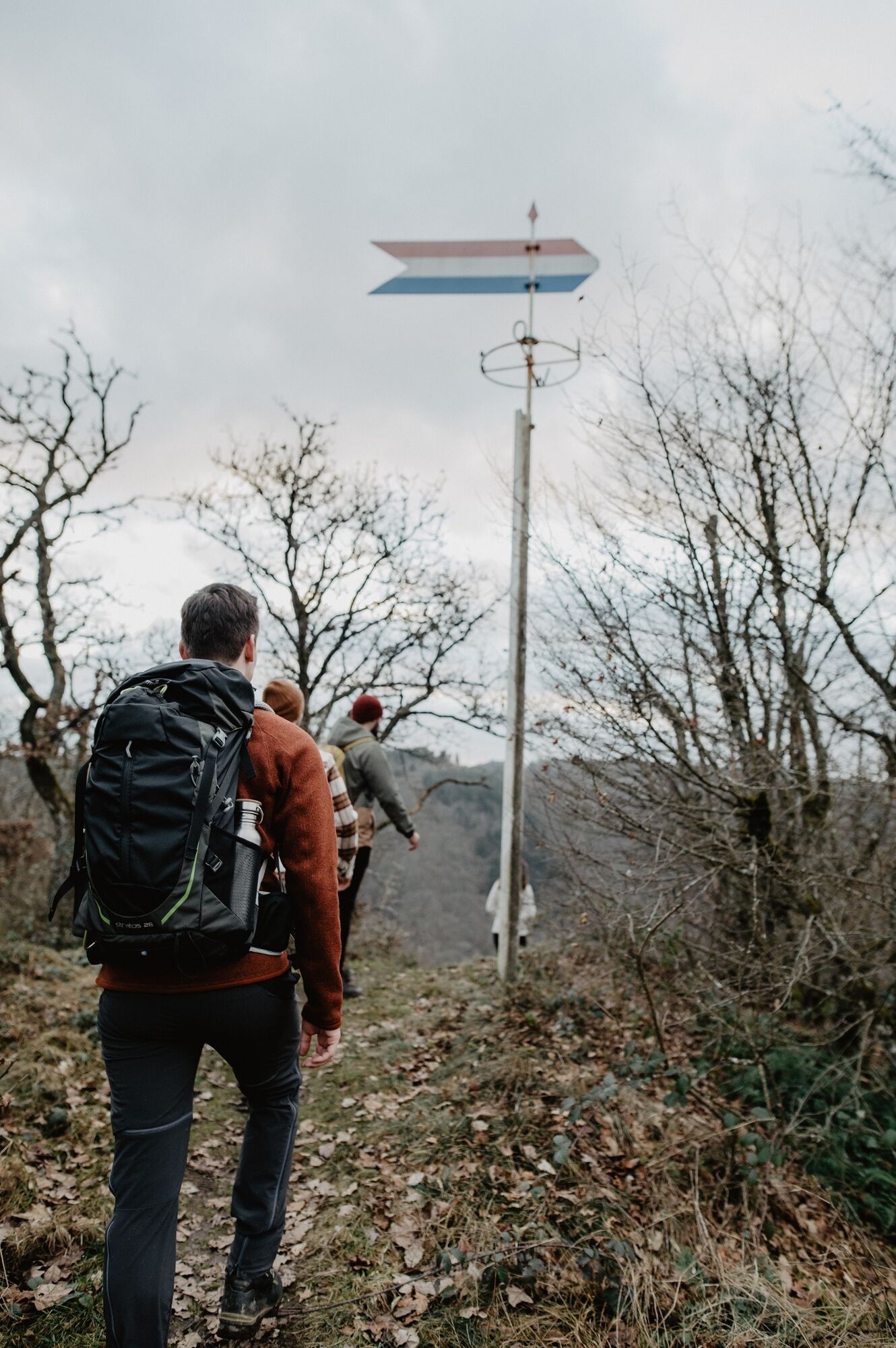
The variety of themed trails not only shows you the beautiful natural landscapes of the region, but also provides information on a wide range of topics.
- Teškoća
-
srednje
- Vrednovanje
-
- Wegverlauf
-
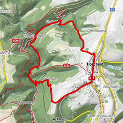
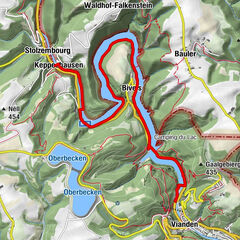
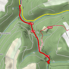
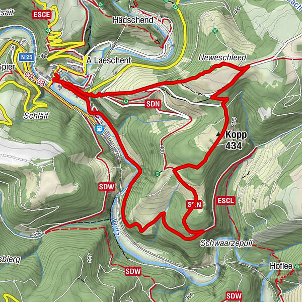
HubertyKautenbach0,0 kmSaint-Bernard0,2 kmBomm0,7 kmUeweschlaed1,2 kmKopp (434 m)2,7 kmSaint-Bernard6,3 kmKautenbach6,4 kmHuberty6,5 km
- Beste Jahreszeit
-
sijveljožutrasvilipsrpkolrujlisstupro
- Höchster Punkt
- 473 m
- Zielpunkt
-
Kautenbach
- Höhenprofil
-
 © outdooractive.com
- Autor
-
Die Tour Nature Trail Kautenbach wird von outdooractive.com bereitgestellt.
GPS Downloads


Opće informacije
Flora
Fauna
Aussichtsreich
Weitere Touren in den Regionen