© UNESCO Biosphäre Entlebuch - Janine Wicki

© UNESCO Biosphäre Entlebuch

© UNESCO Biosphäre Entlebuch - outsideisfree.ch

© UNESCO Biosphäre Entlebuch - Martin Mägli

© UNESCO Biosphäre Entlebuch - Martin Mägli
- Kratak opis
-
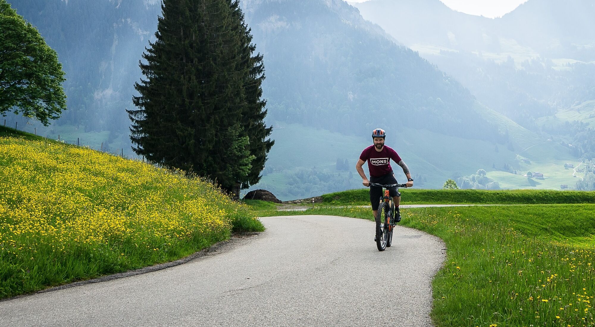
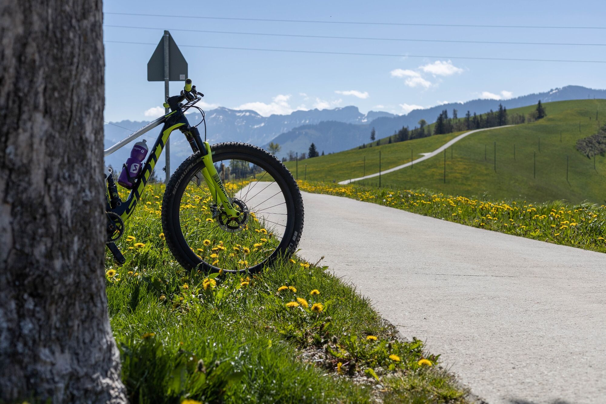
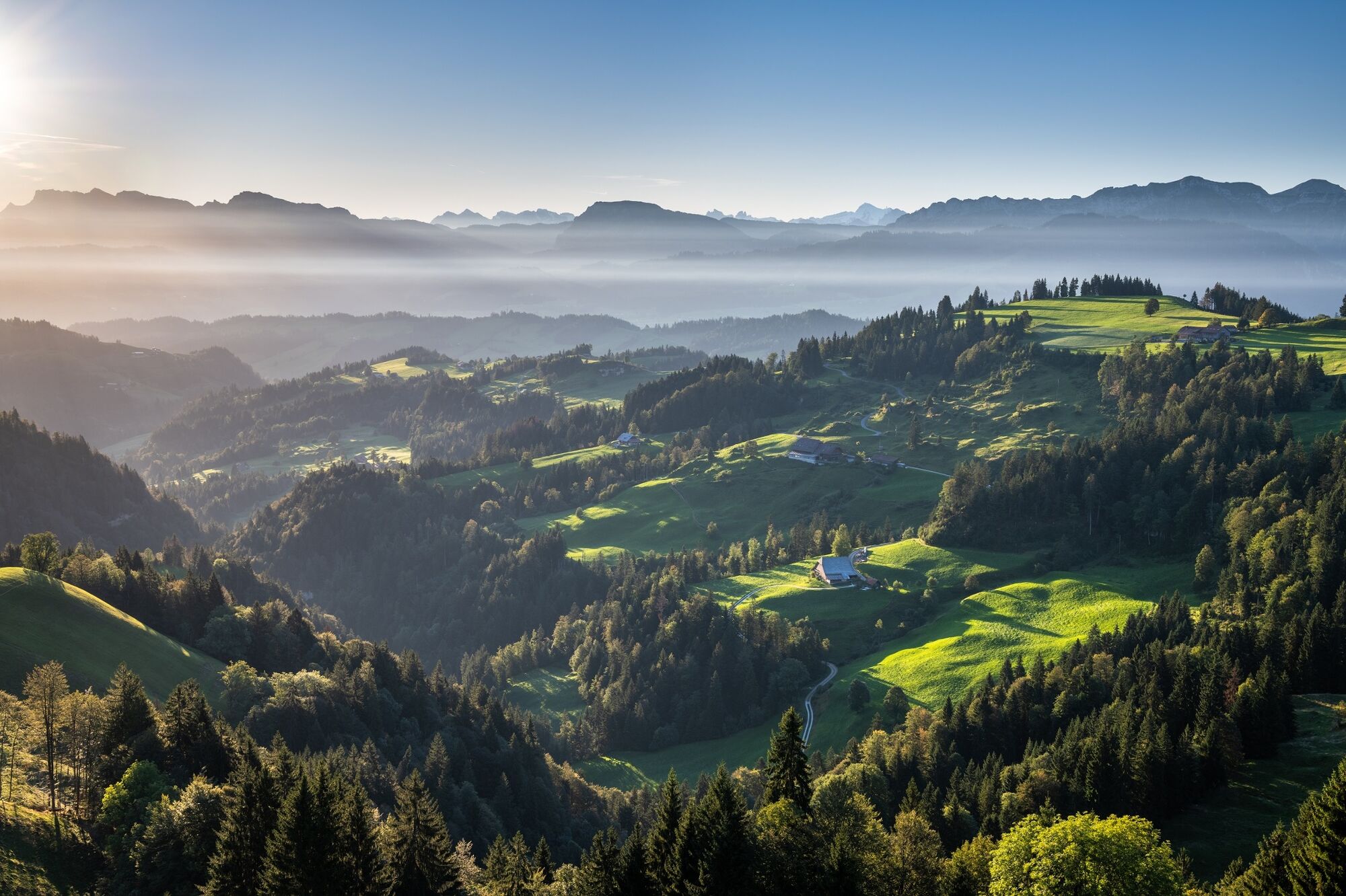
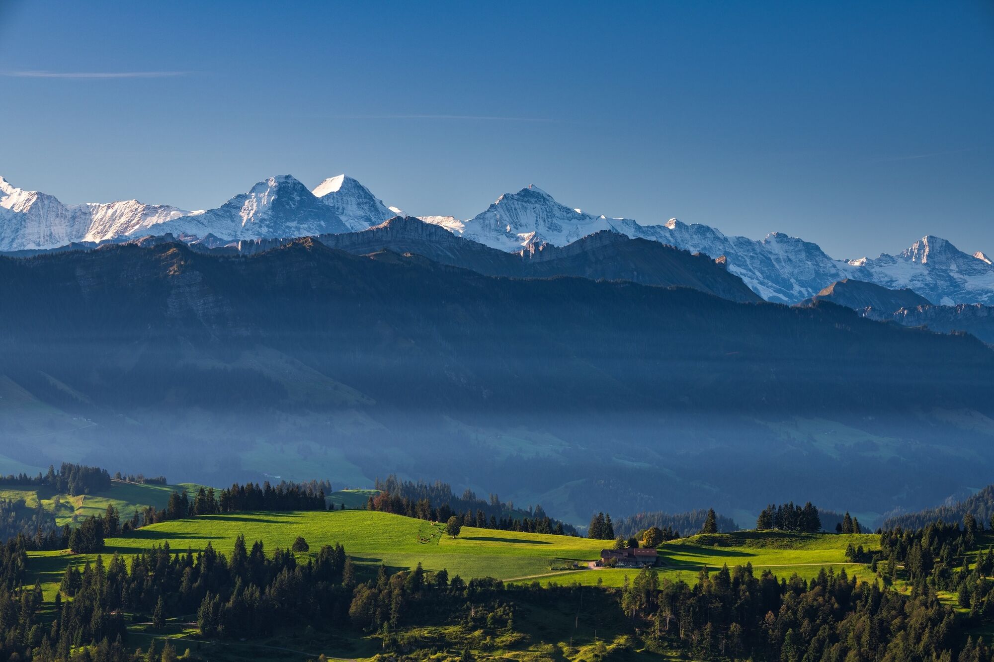
MTB tour over the hills of the Entlebuch and Emmental.
- Teškoća
-
lagano
- Vrednovanje
-
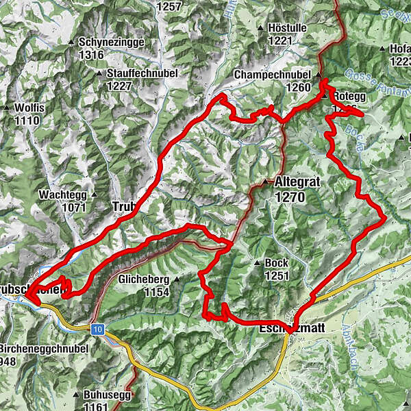
- Wegverlauf
-
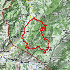
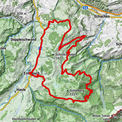
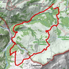
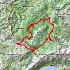
Escholzmatt (858 m)Bahnhof0,1 kmTellenmoos3,7 kmRotegg (1.246 m)11,0 kmNeumattwald15,0 kmNeumatt15,5 kmFankhaus (Trub)15,8 kmRiedgut18,0 kmSandgrabe18,1 kmRied18,1 kmSchweidboden18,2 kmTrub19,4 kmLandgasthof Sternen19,6 kmLängengrund20,7 kmTrubschachen22,7 kmRisisegg Schindel28,5 kmTurner (1.215 m)31,0 kmHöch (1.227 m)32,5 kmOber Bödili32,9 kmLängegg34,1 kmHinter Lombach35,0 kmHinder Lombach35,1 kmEscholzmatt (858 m)36,6 kmSt. Jakob36,7 kmLandgasthof Krone36,7 kmWasserscheide Kleine Emme/Ilfis (857m)36,7 kmEscholzmatt (853 m)36,9 km
- Beste Jahreszeit
-
sijveljožutrasvilipsrpkolrujlisstupro
- Höchster Punkt
- 1.217 m
- Zielpunkt
-
Escholzmatt railway station
- Höhenprofil
-
 © outdooractive.com
-

-
AutorDie Tour Napf mountains MTB tour wird von outdooractive.com bereitgestellt.
GPS Downloads


Opće informacije
Einkehrmöglichkeit
Aussichtsreich
Weitere Touren in den Regionen
-
Obwalden
170
-
UNESCO Biosphäre Entlebuch
43
-
Trub
9