© Swiss Alpine Adventure - Dave O'Riordan

© Swiss Alpine Adventure - Dave O'Riordan

© Swiss Alpine Adventure - Dave O'Riordan

© Swiss Alpine Adventure - Dave O'Riordan

© Swiss Alpine Adventure - Dave O'Riordan
- Kratak opis
-
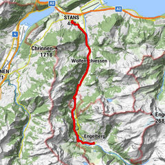
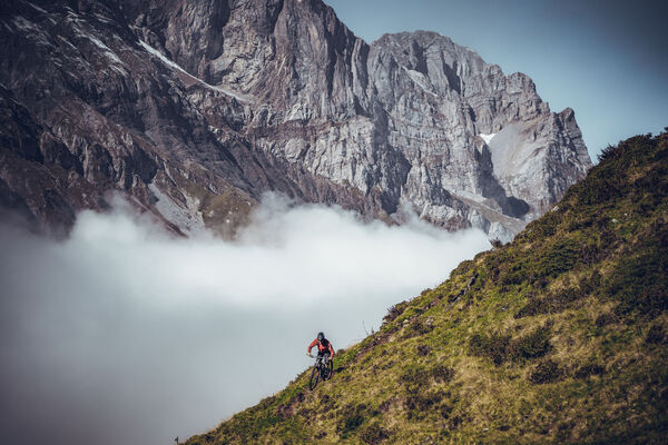
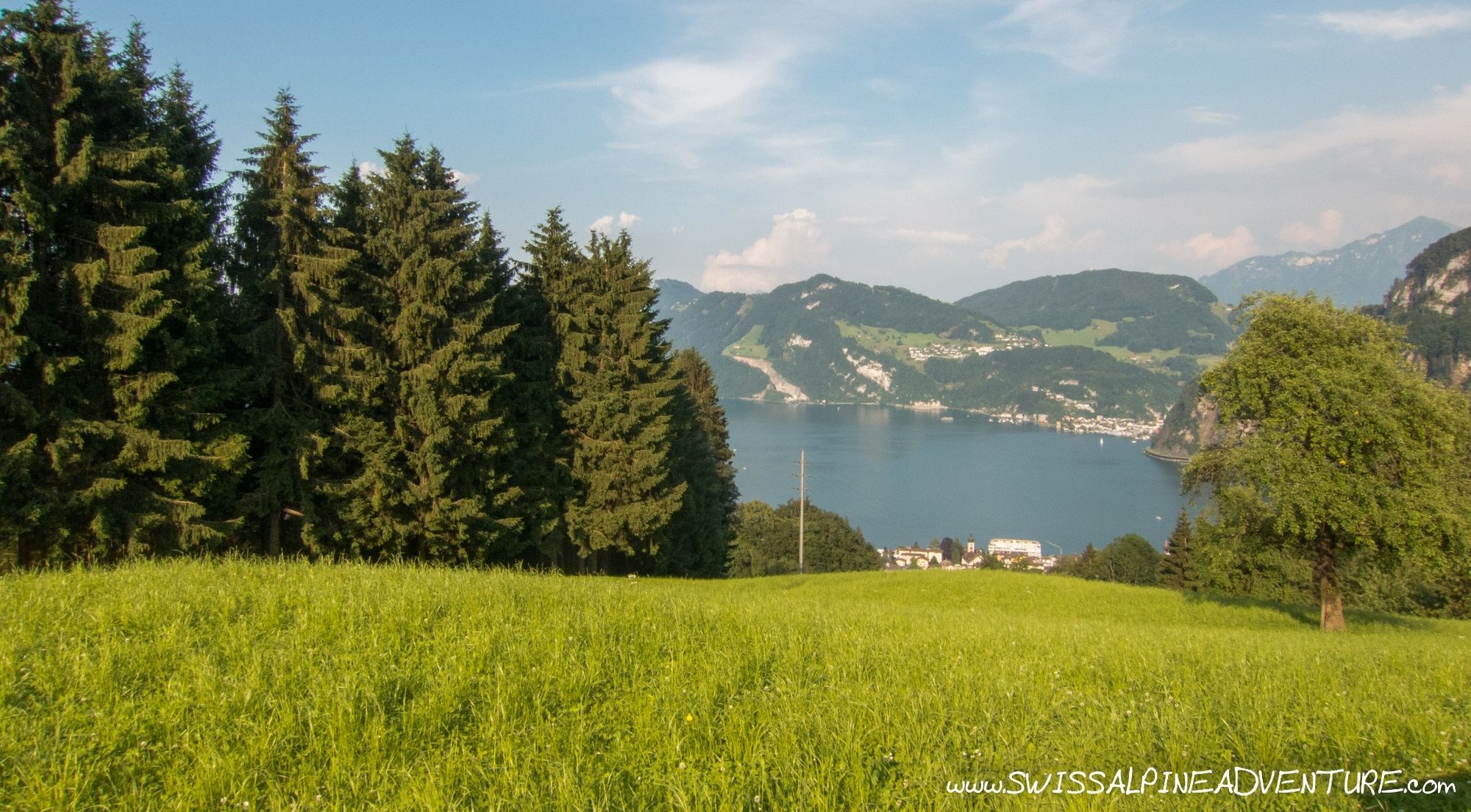
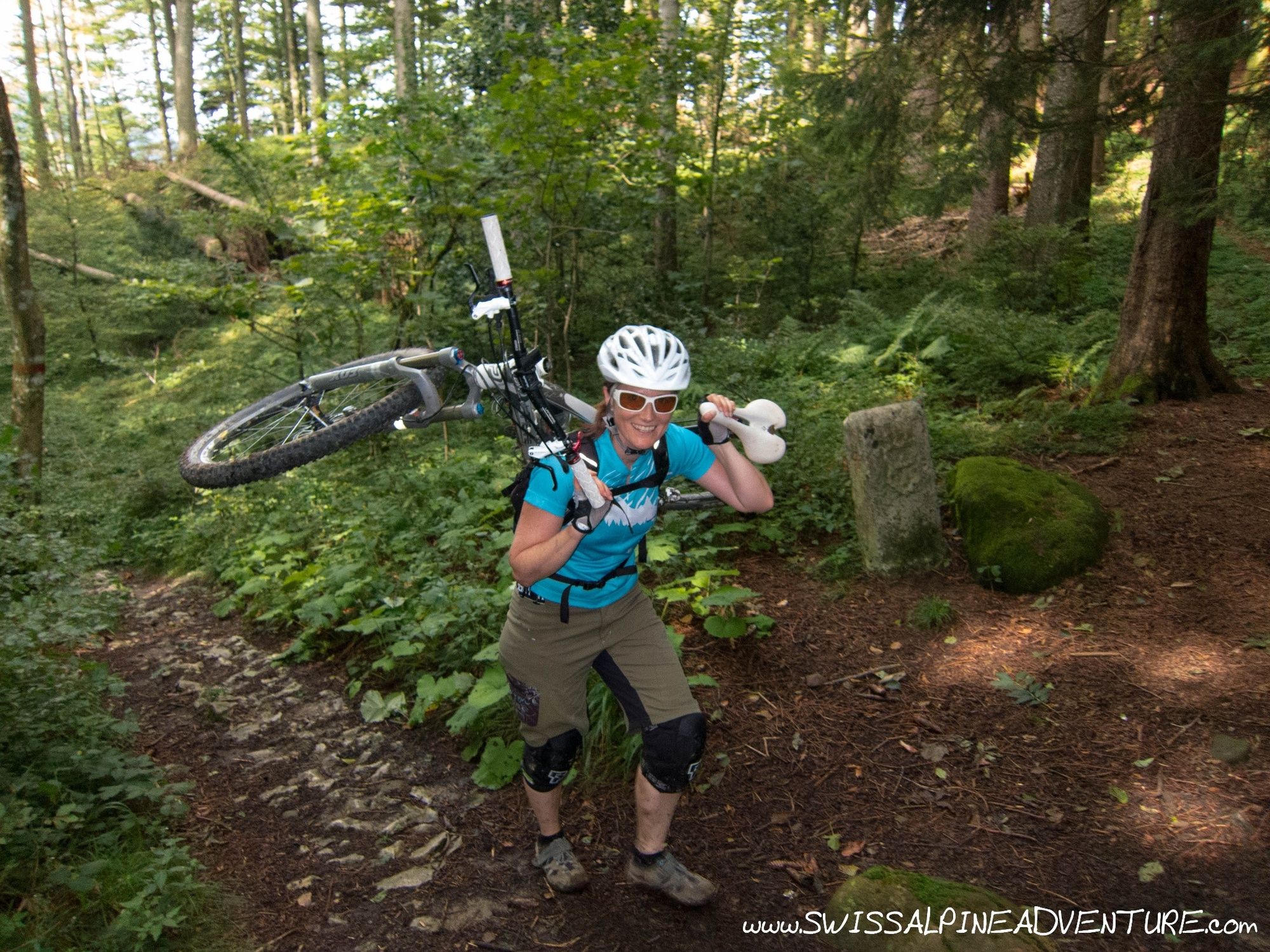
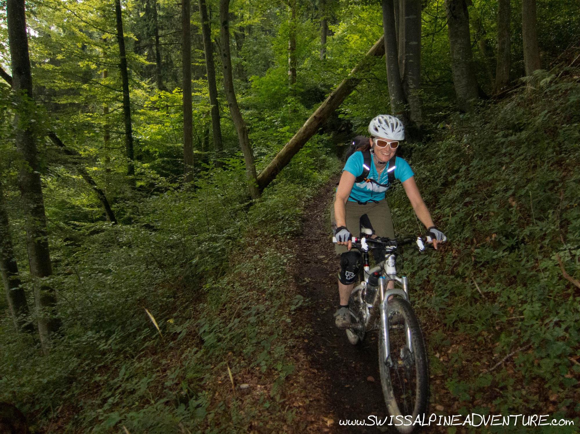
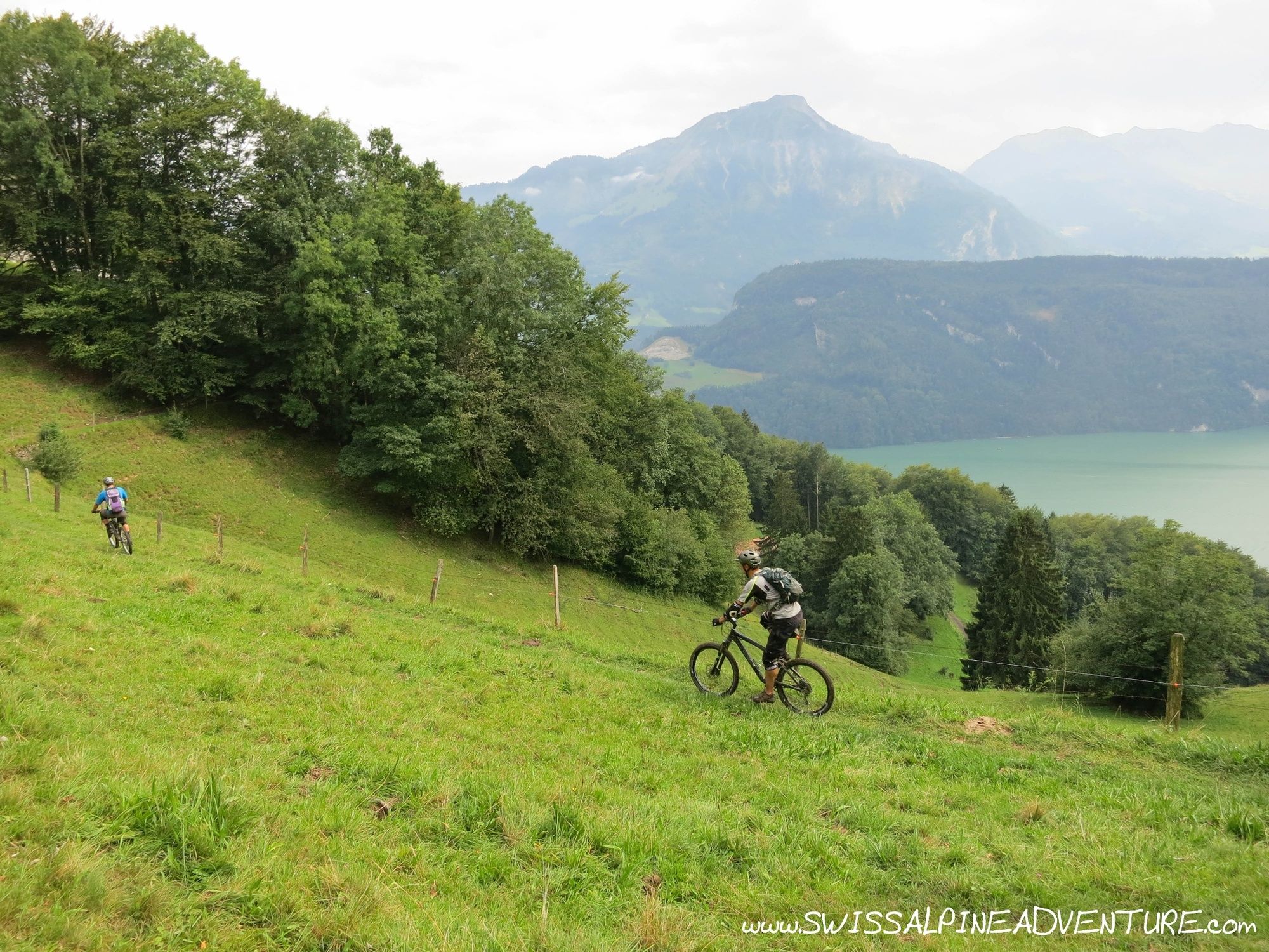
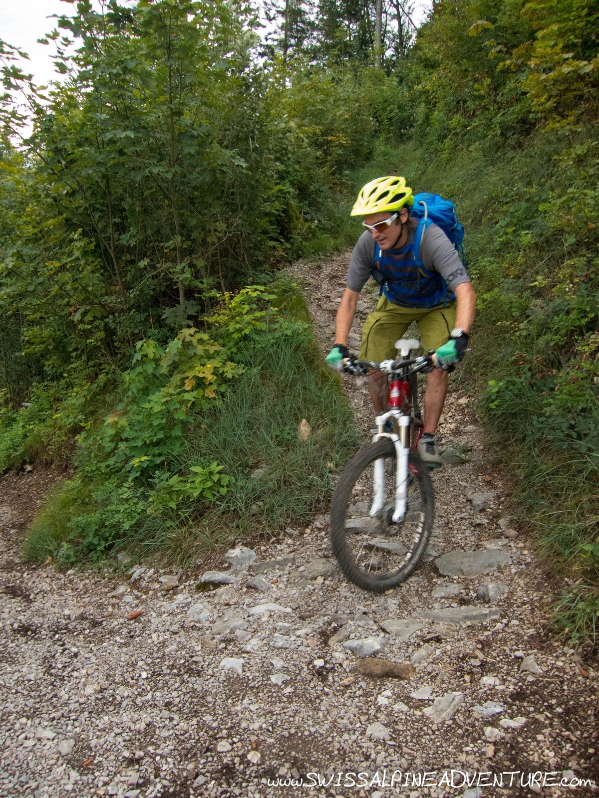
The Lopper Trail is a fun and somewhat technical trail easily accessible from Luzern. The top is undulating and flowy before it gets narrow (a little exposed) and rocky as it makes it's way down to the lake with a number of switchbacks.
- Teškoća
-
srednje
- Vrednovanje
-
- Wegverlauf
-
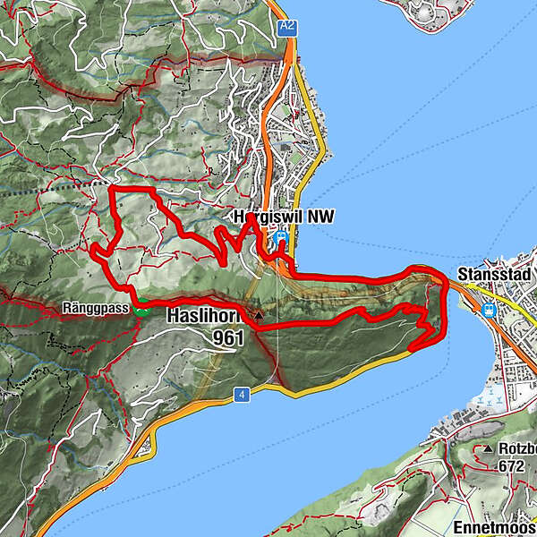
Hergiswil NW (449 m)Zusen1,5 kmHinter Rengg4,9 kmRengg-Kapelle5,1 kmRenggkapelle5,1 kmHaslihorn (961 m)6,5 kmStansstad (436 m)10,4 kmAcheregg10,5 kmHergiswil NW (449 m)12,3 kmHergiswil NW (449 m)12,5 km
- Beste Jahreszeit
-
sijveljožutrasvilipsrpkolrujlisstupro
- Höchster Punkt
- 895 m
- Zielpunkt
-
Hergiswil Train Station
- Höhenprofil
-
 © outdooractive.com
-

-
AutorDie Tour Lopper Trail wird von outdooractive.com bereitgestellt.
GPS Downloads


Putevi
Pokus
Opće informacije
Aussichtsreich
Weitere Touren in den Regionen
-
Nidwalden
186
-
Weggis Vitznau Rigi
95
-
Hergiswil
15